Brook End
Settlement in Bedfordshire
England
Brook End
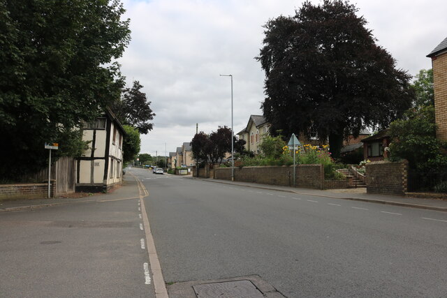
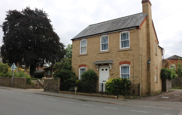
Brook End is a small village located in the county of Bedfordshire, England. Situated approximately 3 miles north of the town of Sandy, it forms part of the civil parish of Blunham. The village is surrounded by picturesque countryside, offering residents and visitors a tranquil and idyllic setting.
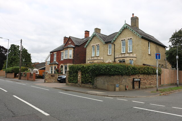
The history of Brook End can be traced back to medieval times, and evidence of its past can still be seen in some of the older buildings within the village. The architecture is a mix of traditional thatched cottages and more modern housing, providing a charming aesthetic to the area.
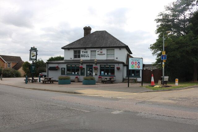
Despite its small size, Brook End benefits from a strong sense of community. The village has a local pub, The Brook End Inn, which serves as a popular gathering place for residents and visitors alike. Additionally, there is a community center that hosts various events and activities throughout the year, fostering a sense of togetherness among the locals.
The surrounding countryside offers ample opportunities for outdoor activities such as walking, hiking, and cycling. There are several footpaths and bridleways that crisscross the area, allowing nature enthusiasts to explore the beautiful landscapes and enjoy the peaceful surroundings.
In terms of amenities, Brook End is well-served by nearby towns and villages. Sandy, which is a short drive away, offers a range of shops, supermarkets, and other essential services. The village also benefits from good transportation links, with easy access to major roads and rail connections.
Overall, Brook End is a charming and peaceful village, perfect for those seeking a rural retreat while still having access to nearby amenities and transport links.
If you have any feedback on the listing, please let us know in the comments section below.
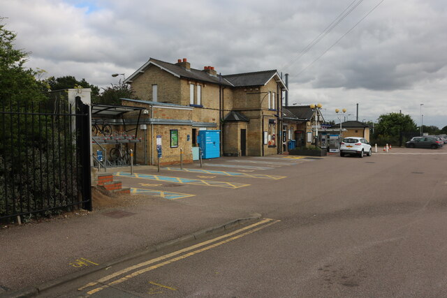
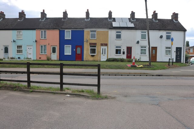
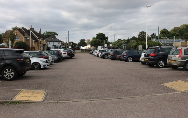
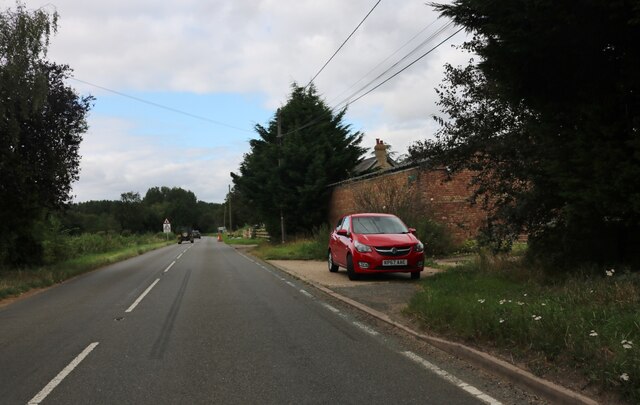
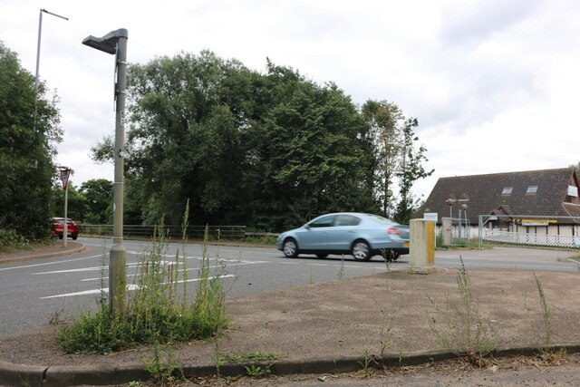
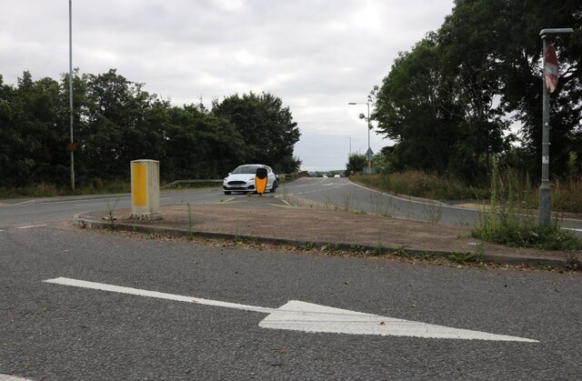
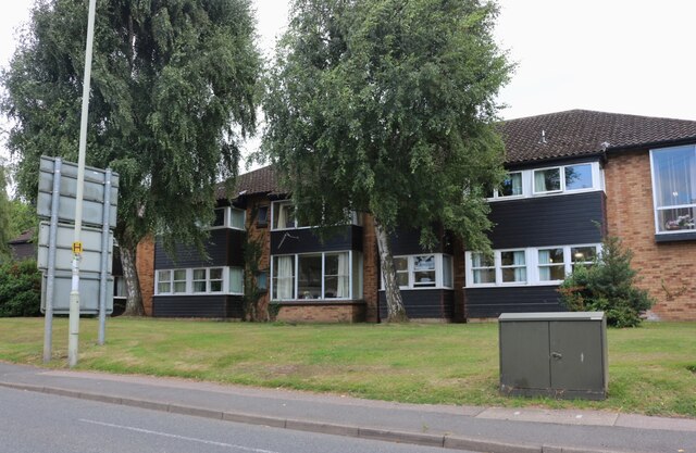
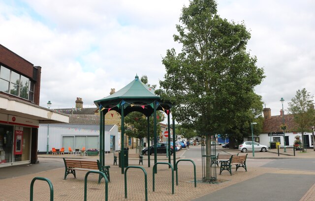
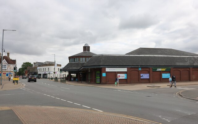
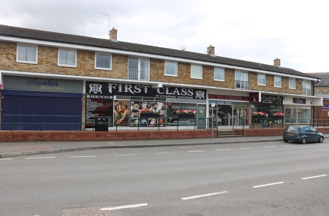
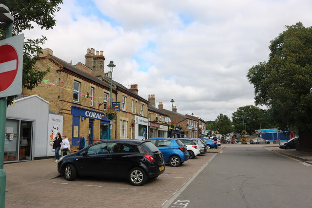
Brook End Images
Images are sourced within 2km of 52.11631/-0.306541 or Grid Reference TL1647. Thanks to Geograph Open Source API. All images are credited.


Brook End is located at Grid Ref: TL1647 (Lat: 52.11631, Lng: -0.306541)
Unitary Authority: Central Bedfordshire
Police Authority: Bedfordshire
What 3 Words
///aced.takers.blog. Near Sandy, Bedfordshire
Nearby Locations
Related Wikis

Hatch, Bedfordshire
Hatch is a hamlet in the Central Bedfordshire district of Bedfordshire, England. It is located a little over a mile south-west of the market town of Sandy...

Beeston, Bedfordshire
Beeston is a hamlet of about 530 acres (2.1 km2) in the town of Sandy in the Wixamtree hundred of the county of Bedfordshire, England, about a half a mile...

Thorncote Green
Thorncote Green (often known only as Thorncote) is a hamlet located in the Central Bedfordshire district of Bedfordshire, England. The settlement is located...

The Riddy
The Riddy is an 8.4 hectare flood meadow and Local Nature Reserve located in Sandy, Bedfordshire, United Kingdom, bordering the River Ivel. Owned by Sandy...
Nearby Amenities
Located within 500m of 52.11631,-0.306541Have you been to Brook End?
Leave your review of Brook End below (or comments, questions and feedback).