Brook End

Settlement in Hertfordshire East Hertfordshire

England

Brook End

Holy Trinity Church, Throcking The Church has an unusual tower which was rebuilt in 1660. Local legend has it that the original was damaged by Cromwell's Artillery. English Heritage has given £78,000 to repair the leaking roof and the collapsing floors of the tower.
Holy Trinity Church, Throcking Credit: Melvyn Cousins

Brook End is a charming village located in the county of Hertfordshire, England. Situated approximately 30 miles northwest of London, it is nestled in the picturesque countryside, offering residents and visitors a tranquil and idyllic setting.

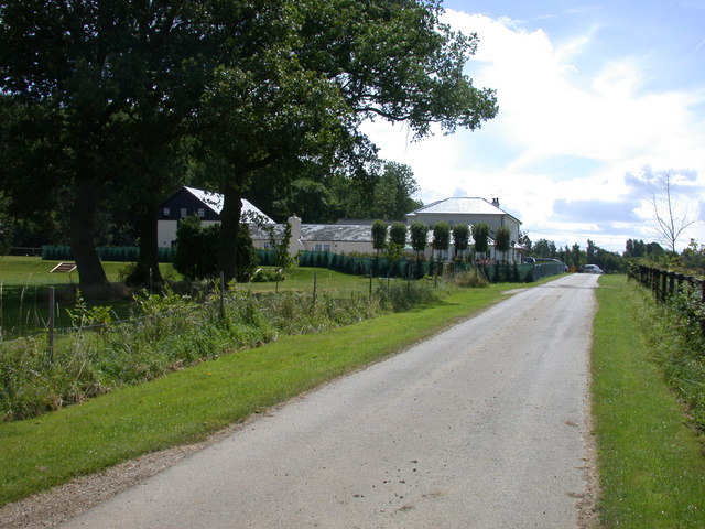
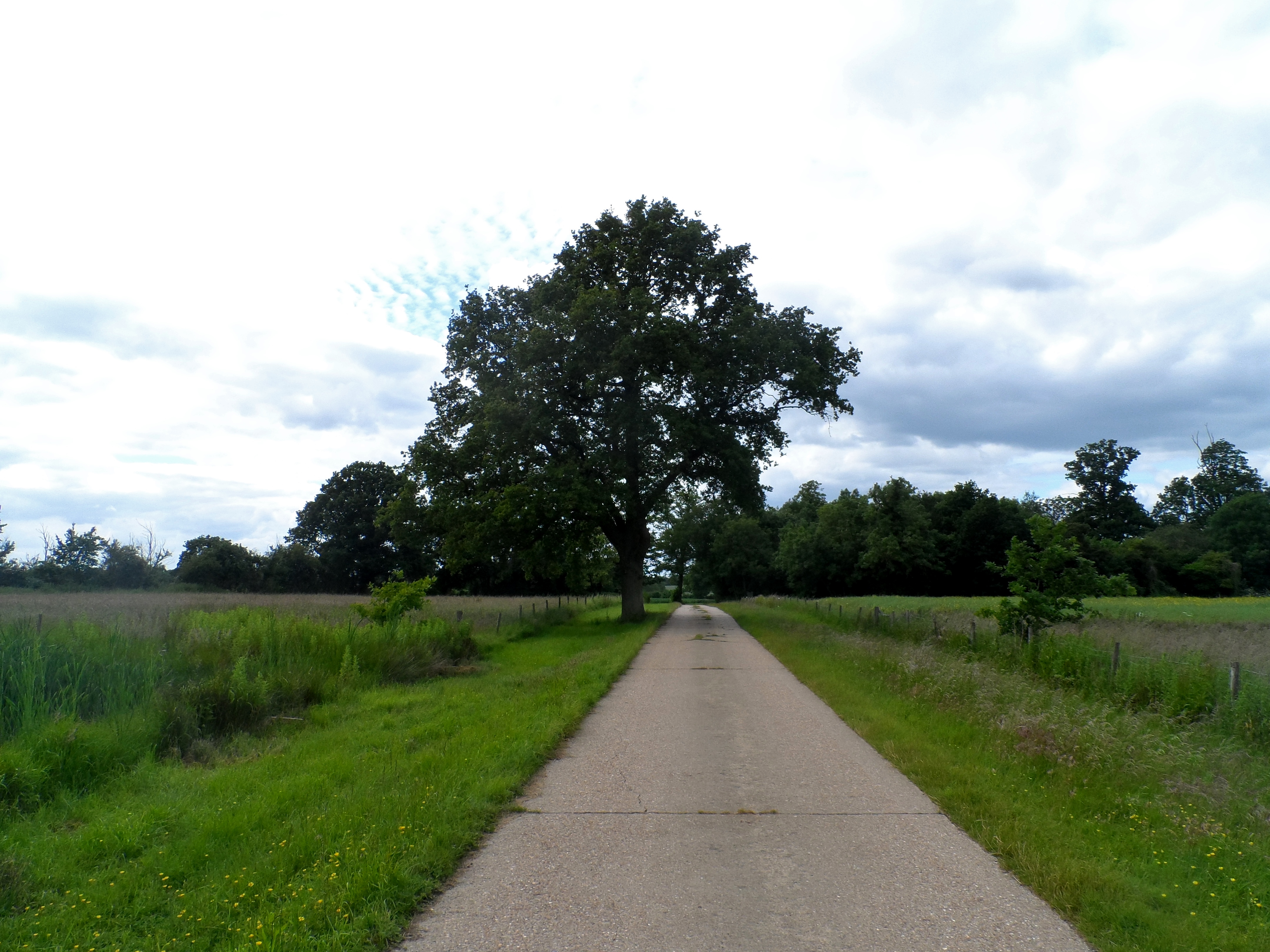
The village is known for its stunning natural beauty, with lush green fields, meandering streams, and rolling hills surrounding the area. It is a popular destination for nature lovers and outdoor enthusiasts, who can explore the numerous walking trails and cycling paths that crisscross the countryside.

Despite its rural ambiance, Brook End is conveniently located near major transport links, providing easy access to neighboring towns and cities. The nearby A414 road connects the village to the wider road network, making it accessible for commuters and tourists alike.

Brook End is a close-knit community with a small population. The village features a range of charming cottages and traditional houses, giving it a timeless and quintessentially English feel. There are also a few local amenities, including a village hall, a quaint pub, and a small convenience store, providing essential services to residents.

The village is surrounded by a wealth of attractions and amenities. Within a short drive, residents can visit historic landmarks, such as Hatfield House and Knebworth House, both renowned for their stunning architecture and beautiful gardens. There are also several golf courses, country parks, and leisure facilities in the vicinity, offering recreational options for all ages.

In summary, Brook End is a peaceful and picturesque village in Hertfordshire, offering residents a serene countryside lifestyle while remaining within easy reach of urban conveniences.

If you have any feedback on the listing, please let us know in the comments section below.
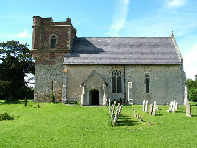
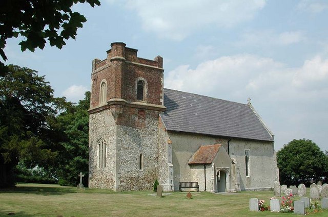
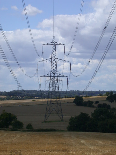
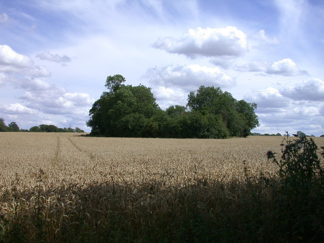
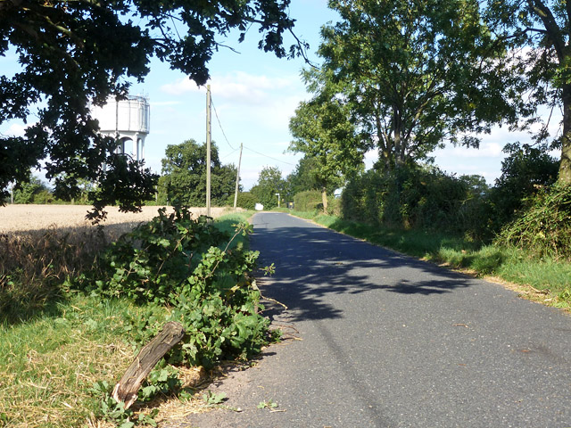
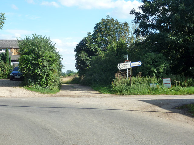
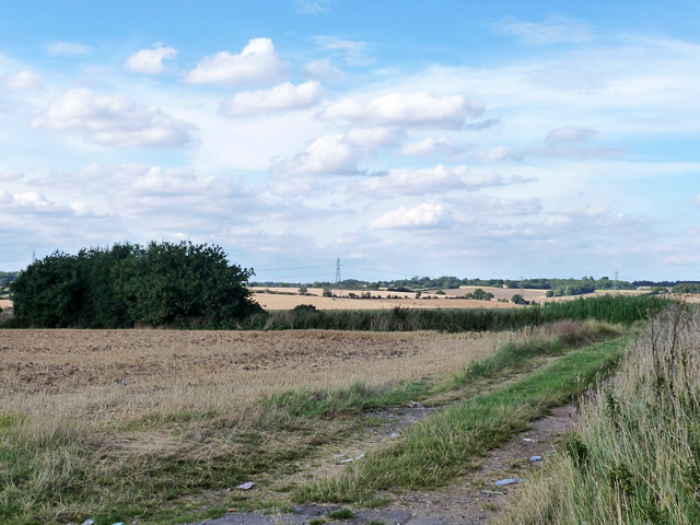
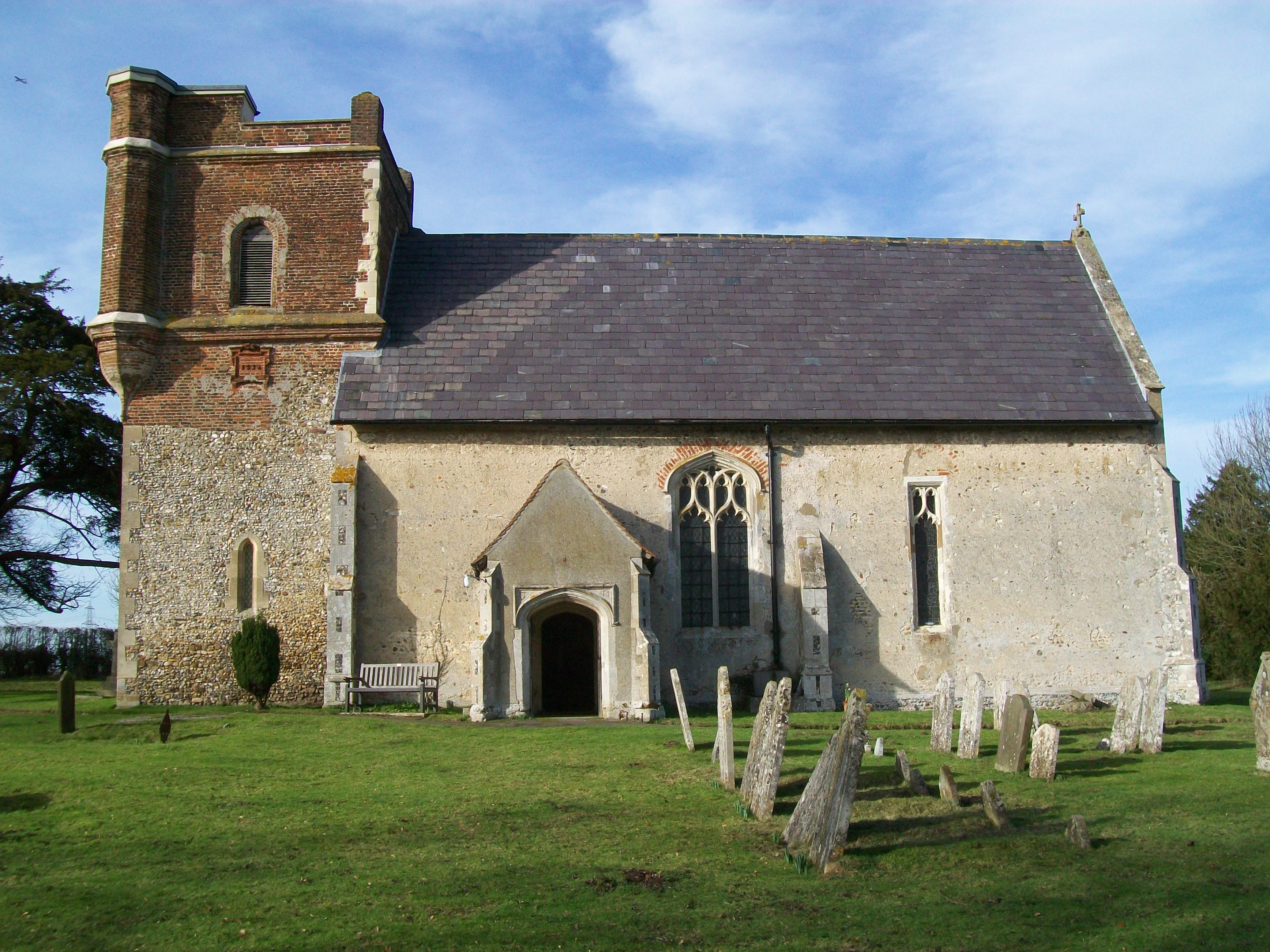
Brook End Images

Images are sourced within 2km of 51.943897/-0.075734 or Grid Reference TL3229. Thanks to Geograph Open Source API. All images are credited.

Holy Trinity Church, Throcking The Church has an unusual tower which was rebuilt in 1660. Local legend has it that the original was damaged by Cromwell's Artillery. English Heritage has given £78,000 to repair the leaking roof and the collapsing floors of the tower.
Holy Trinity Church, Throcking
The Church has an unusual tower which was rebuilt in 1660. Local legend has it that the original was damaged by Cromwell's Artillery. English Heritage has given £78,000 to repair the leaking roof and the collapsing floors of the tower.
Holy Trinity, Throcking, Herts
A Study in Catenary Curves
A Little Wood in a Wheat Field
Hazards of harvest time A high load of straw had left a lot of straw behind and had brought down a few tree limbs, as this one here.
Hazards of harvest time
A high load of straw had left a lot of straw behind and had brought down a few tree limbs, as this one here.
Cottered church St. John the Baptist's.
Cottered church
St. John the Baptist's.
Corner and crossways on B1037 The B road has a right-angled bend from the foreground to the left, Blind Lane joins on the right, and straight on is a public byway called Back Lane on the course of a Roman road.
Corner and crossways on B1037
The B road has a right-angled bend from the foreground to the left, Blind Lane joins on the right, and straight on is a public byway called Back Lane on the course of a Roman road.
View north from B1037 The hedgerow is along the course of a Roman road heading north-west from Braughing to Baldock.
View north from B1037
The hedgerow is along the course of a Roman road heading north-west from Braughing to Baldock.
Throcking Road, Cottered
Approaching Baldock Road in Cottered
Baldock Road at the junction of White Hill
Houses on Baldock Road, Cottered
Track across the fields, Cottered
House on Throcking Road, Cottered
Throcking Road, Cottered
Entrance to field on Throcking Road, Cottered
Pile of builders rubble in field, Cottered
Throcking Road, Cottered
Show me another place!

Brook End is located at Grid Ref: TL3229 (Lat: 51.943897, Lng: -0.075734)

Administrative County: Hertfordshire

District: East Hertfordshire

Police Authority: Hertfordshire

What 3 Words

///leans.shame.panting. Near Buntingford, Hertfordshire

Nearby Locations

Brook End

Related Wikis

Cottered

Cottered is a village and civil parish 3 miles (4.8 km) west of Buntingford and 6 miles (9.7 km) east of Baldock in the East Hertfordshire District of...

Throcking

Throcking is a village and former civil parish, now in the parish of Cottered, in the East Hertfordshire district, in the county of Hertfordshire, England...

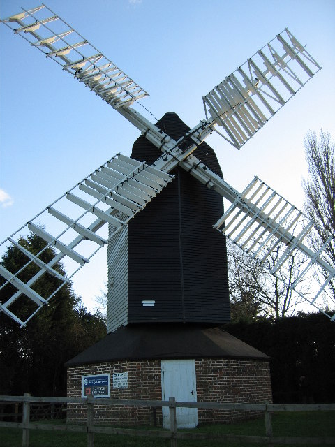
Cromer Windmill, Ardeley

Cromer Windmill, restored in four stages between 1967 and 1998, is a Grade II* listed post mill at Cromer, Ardeley, Hertfordshire, England. == History... ==

Broadfield, Hertfordshire

Broadfield is a hamlet and former civil parish, now in the parish of Cottered, in the East Hertfordshire district, in the county of Hertfordshire, England...

Ardeley

Ardeley is a small village and civil parish in East Hertfordshire, England. The parish includes the hamlet of Cromer, as well as Wood End and Moor Green...

Moor Hall Meadows

Moor Hall Meadows is a 24.4-hectare (60-acre) biological Site of Special Scientific Interest in Moor Green in Hertfordshire. The local planning authority...

Cromer, Hertfordshire

Cromer is a hamlet in the civil parish of Ardeley, Hertfordshire, England. It is a small hamlet; however, it is noteworthy for possessing Hertfordshire...

Wakeley, Hertfordshire

Wakeley is a hamlet and former civil parish 14 miles (23 km) from Hertford, now in the parish of Westmill, in the East Hertfordshire district, in the county...

Nearby Amenities

Located within 500m of 51.943897,-0.075734
Pub
The Bull
Operator: Greene King
Wikidata: Q26469454
Lat/Long: 51.9472921/-0.0799247
Barrier: kissing_gate
Lat/Long: 51.944393/-0.0824639
Barrier: kissing_gate
Lat/Long: 51.9443206/-0.0797132
Barrier: kissing_gate
Lat/Long: 51.9435356/-0.0792288
Barrier: kissing_gate
Foot: yes
Lat/Long: 51.9407699/-0.073859
Cottered
Place: village
Lat/Long: 51.9464234/-0.0813596
Barrier: kissing_gate
Lat/Long: 51.9429097/-0.0813184
Barrier: kissing_gate
Lat/Long: 51.9434346/-0.0741381
Barrier: kissing_gate
Lat/Long: 51.9422407/-0.0723171
Bus Stop
The Bull PH
Bench: yes
Bin: no
Bus: yes
Lit: no
Naptan AtcoCode: 210021306020
Naptan Bearing: W
Naptan CommonName: The Bull PH
Naptan Crossing: The Village Hall
Naptan Indicator: opp
Naptan Landmark: The Village Hall
Naptan NaptanCode: hrtdtata
Naptan ShortCommonName: NA
Naptan Street: Baldock Road
Naptan Verified: no
Public Transport: platform
Shelter: yes
Source: naptan_import
Tactile Paving: no
Lat/Long: 51.9468267/-0.0775919
Bus Stop
The Bull PH
Bench: yes
Bin: no
Bus: yes
Lit: no
Naptan AtcoCode: 210021309800
Naptan Bearing: E
Naptan CommonName: The Bull PH
Naptan Crossing: opp Village Hall
Naptan Indicator: adj
Naptan Landmark: opp Village Hall
Naptan NaptanCode: hrtdpgwp
Naptan ShortCommonName: NA
Naptan Street: Baldock Road
Naptan Verified: no
Public Transport: platform
Shelter: yes
Source: naptan_import
Tactile Paving: no
Lat/Long: 51.9470043/-0.0793972
Telephone
Booth: K6
Covered: booth
Man Made: telephone_box
Old Phone: +44 1763 281220
Telephone: no
Lat/Long: 51.9467391/-0.0767002
Post Box
Cross Green
Check Date: 2021-04-22
Collection Times: Mo-Fr 09:00, Sa 07:00
Operator: Royal Mail
Operator Wikidata: Q638098
Post Box Mounting: pier
Post Box Type: lamp
Ref: SG9 32
Royal Cypher: EIIR
Royal Cypher Wikidata: Q33102113
Lat/Long: 51.9467569/-0.0767144
Barrier: kissing_gate
Foot: yes
Lat/Long: 51.9404126/-0.0746243
Material: wood
Power: pole
Lat/Long: 51.9416126/-0.0795919
Material: wood
Power: pole
Lat/Long: 51.9410074/-0.0789696
Material: wood
Power: pole
Lat/Long: 51.9402576/-0.07898
Material: wood
Power: pole
Lat/Long: 51.9422517/-0.0802568
Barrier: kissing_gate
Lat/Long: 51.9448934/-0.0800304
Barrier: kissing_gate
Lat/Long: 51.9429592/-0.0792641
Barrier: kissing_gate
Lat/Long: 51.9419789/-0.0806411
Barrier: kissing_gate
Lat/Long: 51.9452039/-0.0788744
Hospital
Healthcare: hospital
Lat/Long: 51.9465409/-0.0811474
Power: pole
Lat/Long: 51.9405875/-0.0716966
Power: pole
Lat/Long: 51.9413685/-0.0705126
Power: pole
Lat/Long: 51.9443219/-0.082486
Power: pole
Lat/Long: 51.9436564/-0.0817886
Power: pole
Lat/Long: 51.942895/-0.0809933
The data included in this document is from www.openstreetmap.org. The data is made available under ODbL.

Have you been to Brook End?

Leave your review of Brook End below (or comments, questions and feedback).