Hooton Pagnell
Civil Parish in Yorkshire Doncaster
England
Hooton Pagnell

Hooton Pagnell is a civil parish located in the metropolitan county of South Yorkshire, England. Situated approximately 13 miles northeast of the city of Sheffield, Hooton Pagnell is a small village that exudes charm and tranquility. It lies within the historic region of Yorkshire and is surrounded by picturesque countryside.
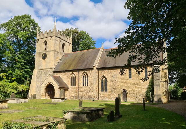
The village is known for its rich history, dating back to the Domesday Book of 1086. It is home to a number of well-preserved medieval buildings, including the Grade I listed All Saints Church, which showcases stunning architecture and houses intricate stained glass windows. The churchyard also contains a remarkable 9th-century Anglo-Saxon cross.
Hooton Pagnell is a close-knit community with a population of around 400 residents. The village offers a peaceful and idyllic setting, with its green fields, rolling hills, and quaint cottages. It provides a welcome retreat from the hustle and bustle of city life.
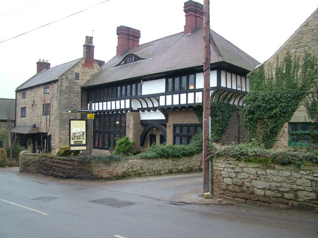
The area surrounding Hooton Pagnell is perfect for outdoor enthusiasts, with ample opportunities for walking, cycling, and exploring the nearby woodlands and nature reserves. The village is also home to a traditional pub, serving locally sourced food and beverages.
Despite its small size, Hooton Pagnell has a vibrant community spirit and hosts various events throughout the year, including a summer fete and Christmas festivities. Its peaceful ambiance and historical charm make it a hidden gem in the Yorkshire countryside.
If you have any feedback on the listing, please let us know in the comments section below.
Hooton Pagnell Images
Images are sourced within 2km of 53.567302/-1.27027 or Grid Reference SE4808. Thanks to Geograph Open Source API. All images are credited.


Hooton Pagnell is located at Grid Ref: SE4808 (Lat: 53.567302, Lng: -1.27027)
Division: West Riding
Administrative County: South Yorkshire
District: Doncaster
Police Authority: South Yorkshire
What 3 Words
///grows.parks.prepped. Near South Elmsall, West Yorkshire
Nearby Locations
Related Wikis

Hooton Pagnell
Hooton Pagnell is a village and civil parish in the Metropolitan Borough of Doncaster in South Yorkshire, England, on the border with West Yorkshire. It...
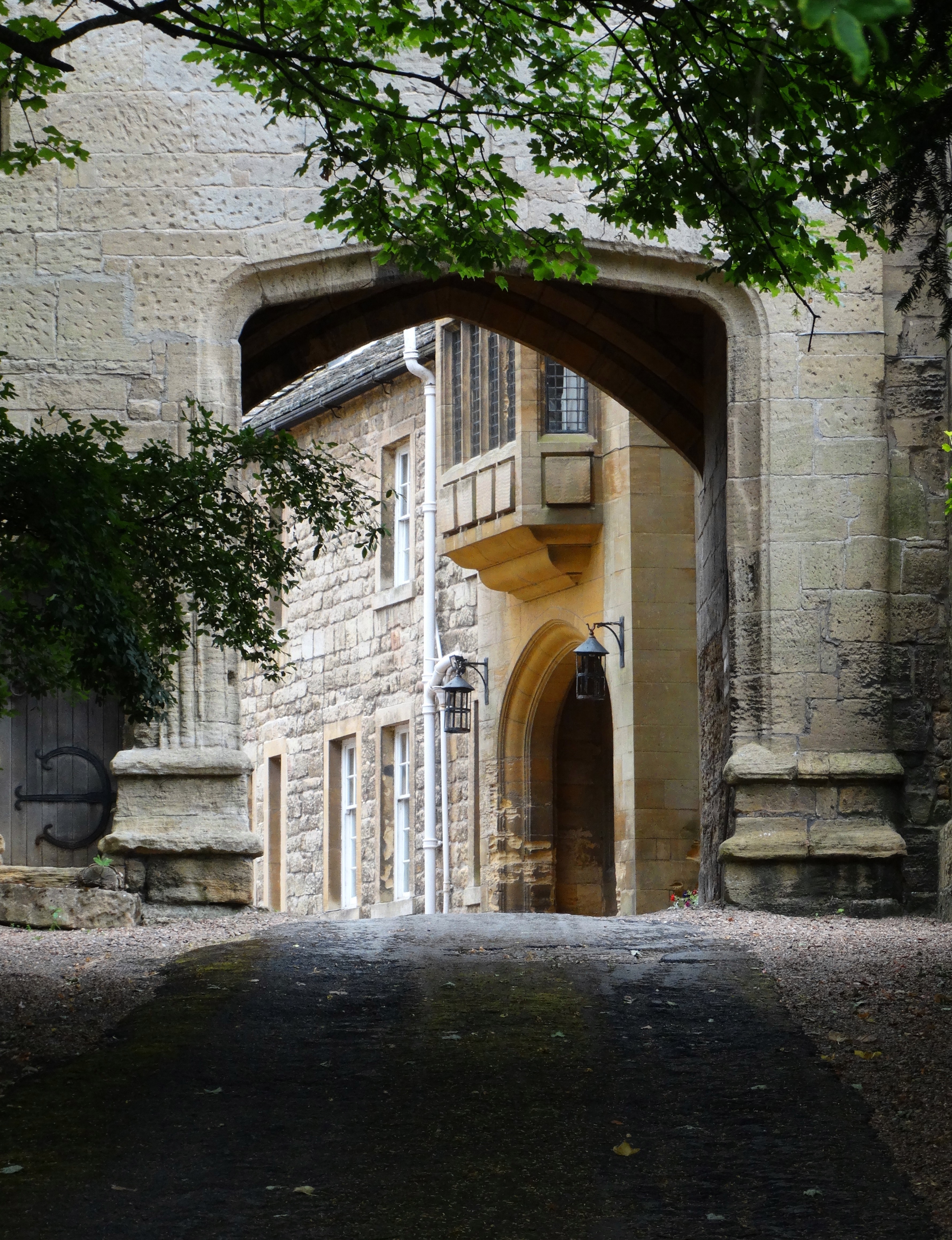
St Chad's Hostel
St Chad's Hostel, in Hooton Pagnell near Doncaster, England, was a hostel to prepare candidates for theological college. It was opened in 1902 by Frederick...
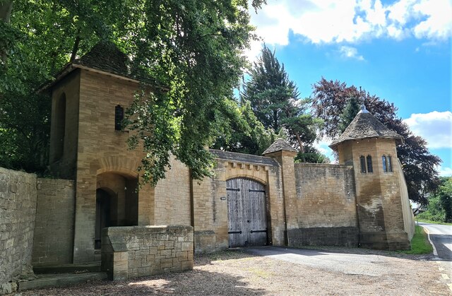
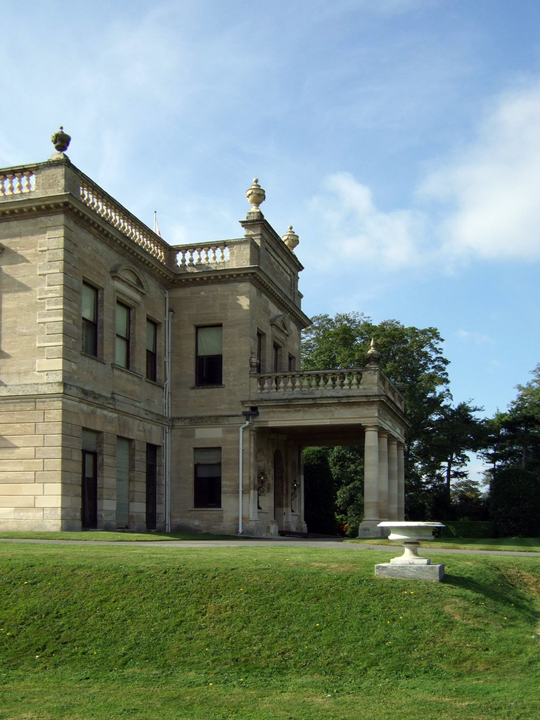
Hooton Pagnell Hall
Hooton Pagnell Hall is a historic house in Hooton Pagnell, near Doncaster, South Yorkshire, occupied by the Warde family since the 18th century. ��2�...

Bilham Sand Pits
Bilham Sand Pits (grid reference SE487066) is a 0.2 hectare (0.1 acre) geological site of Special Scientific Interest in South Yorkshire. The site was...

Moorhouse and South Elmsall Halt railway station
Moorhouse and South Elmsall Halt was a railway station situated on the Hull and Barnsley Railway's branch line from Wrangbrook to Wath-upon-Dearne. The...

Frickley
Frickley is a village in the Metropolitan Borough of Doncaster, South Yorkshire, England in the civil parish of Clayton with Frickley. It lies close to...
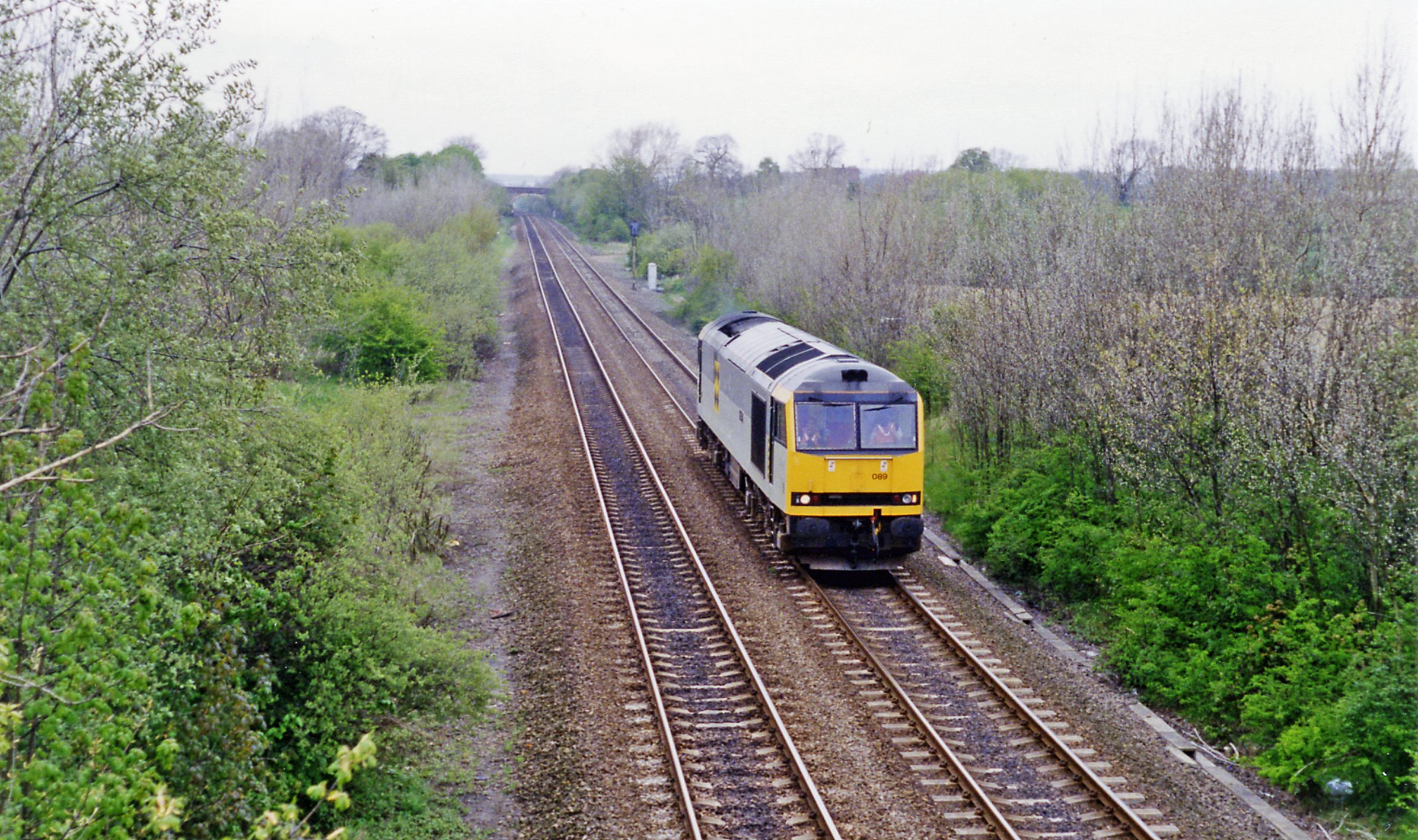
Frickley railway station
Frickley railway station was situated on the Swinton and Knottingley Joint railway, between Bolton-on-Dearne and Moorthorpe. It served the village of Clayton...
Brodsworth
Brodsworth is a village, civil parish and suburb of Doncaster in the City of Doncaster district in South Yorkshire, England. Situated about five miles...
Nearby Amenities
Located within 500m of 53.567302,-1.27027Have you been to Hooton Pagnell?
Leave your review of Hooton Pagnell below (or comments, questions and feedback).