Hooton Roberts
Civil Parish in Yorkshire Rotherham
England
Hooton Roberts

Hooton Roberts is a small civil parish located in the county of Yorkshire, England. Situated in the Metropolitan Borough of Rotherham, it lies approximately 8 miles northeast of the town of Rotherham itself. The parish covers an area of around 2.5 square miles and is primarily a rural area, characterized by its picturesque landscapes and charming countryside.
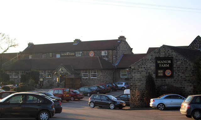
The village of Hooton Roberts is the main settlement within the parish, and it is home to a close-knit community of residents. The village has a small number of amenities, including a local pub, a primary school, and a village hall. These facilities serve as important social and community hubs for the residents of Hooton Roberts.
The surrounding countryside is primarily agricultural, with fields and farmland dominating the landscape. The area is known for its peaceful and tranquil atmosphere, making it a popular destination for nature lovers and those seeking a break from the hustle and bustle of urban life.
Hooton Roberts is also located in close proximity to several notable attractions and landmarks. Just a short drive away is the Thrybergh Country Park, a beautiful parkland offering scenic walks, fishing lakes, and a wealth of wildlife. Additionally, the nearby Wentworth Woodhouse, one of the largest private houses in Europe, is a popular historic attraction for visitors to the area.
If you have any feedback on the listing, please let us know in the comments section below.
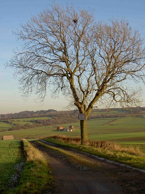
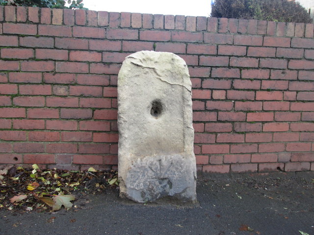
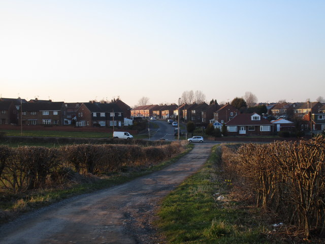
Hooton Roberts Images
Images are sourced within 2km of 53.472431/-1.27113 or Grid Reference SK4897. Thanks to Geograph Open Source API. All images are credited.


Hooton Roberts is located at Grid Ref: SK4897 (Lat: 53.472431, Lng: -1.27113)
Division: West Riding
Administrative County: South Yorkshire
District: Rotherham
Police Authority: South Yorkshire
What 3 Words
///dives.prefer.oven. Near Conisbrough, South Yorkshire
Nearby Locations
Related Wikis

Hooton Roberts
Hooton Roberts is a village and civil parish situated in the Metropolitan Borough of Rotherham in South Yorkshire, England. The village was home to the...
Denaby
Denaby is a civil parish in the Metropolitan Borough of Doncaster in South Yorkshire, England. It had a population in 2001 of 326, increasing slightly...

A630 road
The A630 is an A road in the United Kingdom. It runs between Sheffield city centre (53.3762°N 1.3998°W / 53.3762; -1.3998 (A630 road (southwestern end...

Thrybergh Country Park
Thrybergh Country Park is a reservoir and nature reserve in South Yorkshire. It is located between Thrybergh and Hooton Roberts on the outskirts of Rotherham...
South Yorkshire Coalfield
The South Yorkshire Coalfield is so named from its position within Yorkshire. It covers most of South Yorkshire, West Yorkshire and a small part of North...

Mexborough (Ferry Boat) Halt railway station
Mexborough (Ferry Boat) Halt was a small railway station on the South Yorkshire Railway's line between Barnsley and Doncaster in South Yorkshire, England...

Kilnhurst Central railway station
Kilnhurst Central was a railway station in Kilnhurst, South Yorkshire, England, one of two railway stations serving the village, the other being Kilnhurst...
Conanby
Conanby is a housing estate and suburb of Conisbrough in the Metropolitan Borough of Doncaster, South Yorkshire, England. It lies north of Old Road in...
Nearby Amenities
Located within 500m of 53.472431,-1.27113Have you been to Hooton Roberts?
Leave your review of Hooton Roberts below (or comments, questions and feedback).