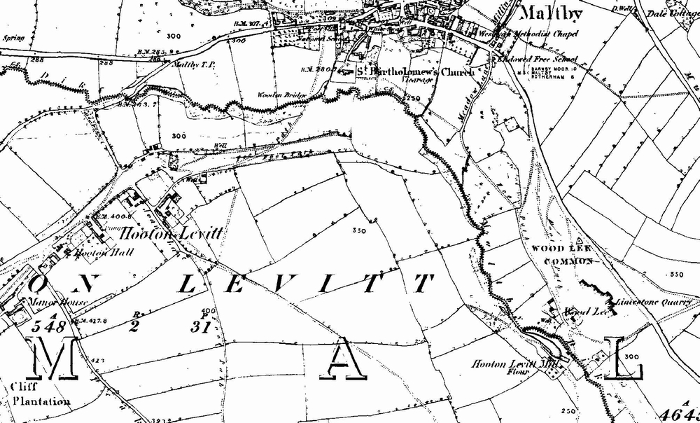
Hooton Levitt

Civil Parish in Yorkshire Rotherham

England

Hooton Levitt

Carr Trig Point Flush Bracket S1846
Carr Trig Point Flush Bracket S1846 Credit: thejackrustles

Hooton Levitt is a civil parish located in the county of Yorkshire, England. Situated in the district of Rotherham, Hooton Levitt is a small rural area known for its picturesque countryside and charming village atmosphere. With a population of around 200 residents, the parish covers an area of approximately 1 square mile.

The village of Hooton Levitt is primarily made up of traditional stone-built houses, many of which date back several centuries, adding to the area's historic charm. The parish is surrounded by rolling hills, fields, and woodlands, offering residents and visitors ample opportunities for outdoor activities such as walking, hiking, and exploring the natural beauty of the region.

Despite its small size, Hooton Levitt has a strong sense of community, with a local pub serving as a central meeting point for villagers. The parish also hosts various events throughout the year, including traditional fairs, summer picnics, and festive celebrations, fostering a close-knit community spirit.

While Hooton Levitt may be a tranquil countryside retreat, it is conveniently located near larger towns and cities. Rotherham, with its range of amenities and services, is just a short drive away, providing residents with easy access to shopping centers, schools, healthcare facilities, and other urban conveniences.

Overall, Hooton Levitt offers a peaceful and idyllic setting for those seeking a rural lifestyle while still being within reach of urban amenities.

If you have any feedback on the listing, please let us know in the comments section below.

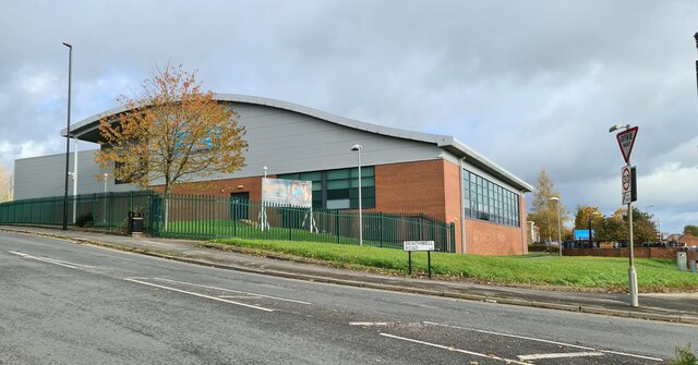
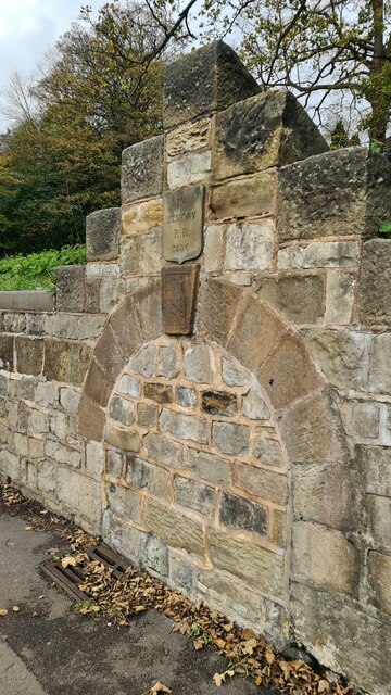
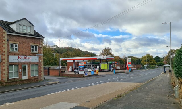
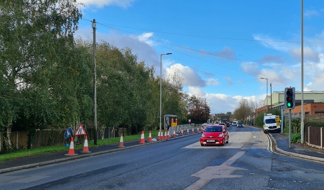
Hooton Levitt Images

Images are sourced within 2km of 53.414775/-1.212957 or Grid Reference SK5291. Thanks to Geograph Open Source API. All images are credited.

Carr Trig Point Flush Bracket S1846
Carr Mast
Carr Mast
Salisbury Road, Maltby Old soldiers live here by the looks of the flags and door number plate
Salisbury Road, Maltby
Old soldiers live here by the looks of the flags and door number plate
Former Anglican Church of The Venerable Bede According to the Maltby Neighbourhood Plan 2017- 2028

"This former church (now used for storage by a local company) is of interesting and pleasant design. Built in 1959, its architect was George Pace, now regarded as the foremost ecclesiastical architect of the 20th century in the north of England."
Former Anglican Church of The Venerable Bede
According to the Maltby Neighbourhood Plan 2017- 2028 "This former church (now used for storage by a local company) is of interesting and pleasant design. Built in 1959, its architect was George Pace, now regarded as the foremost ecclesiastical architect of the 20th century in the north of England."
Dale Hill Road, Maltby
Braithwell Road, Maltby
Maltby Leisure Centre
Memorial to R R who died in 1886 Probably the position of a horse trough or public drinking fountain, but who was R R? 

It seems to be on the site of a natural spring.
Memorial to R R who died in 1886
Probably the position of a horse trough or public drinking fountain, but who was R R? It seems to be on the site of a natural spring.
Essar Filling station, Rotherham Road, Maltby Signs of the times, Rubies Dog Grooming Lounge and a Nisalocal shop in the garage.
Essar Filling station, Rotherham Road, Maltby
Signs of the times, Rubies Dog Grooming Lounge and a Nisalocal shop in the garage.
Crystal Hot Hand Car Wash Sign of the times, fuel sales gone to supermarkets and other bigger turnover retailers, car washing no longer the owner's Sunday chore.
Crystal Hot Hand Car Wash
Sign of the times, fuel sales gone to supermarkets and other bigger turnover retailers, car washing no longer the owner's Sunday chore.
Servicing the traffic camera
Shops on Laburnum Parade
Direction Sign – Signpost in Maltby Located at the west tip of a railed off grassed enclosure also containing cross YSRO_MAL, east of the junction of the A631 Rotherham Road and A634 Blyth Road. Maltby parish.

3 arms and annulus and bar finial. The Rotherham and Sheffield arm was broken off some time before October 2008 but has been replaced. The whole fingerpost has been missing since at least September 2016, but has been restored and was put back in place on 7 December 2023.

Milestone Society National ID: YW_SK5292
Direction Sign – Signpost in Maltby
Located at the west tip of a railed off grassed enclosure also containing cross YSRO_MAL, east of the junction of the A631 Rotherham Road and A634 Blyth Road. Maltby parish. 3 arms and annulus and bar finial. The Rotherham and Sheffield arm was broken off some time before October 2008 but has been replaced. The whole fingerpost has been missing since at least September 2016, but has been restored and was put back in place on 7 December 2023. Milestone Society National ID: YW_SK5292
St.Bartholomew's church, Maltby A rather bland nave and chancel of 1859 but a Norman tower with a perpendicular top
St.Bartholomew's church, Maltby
A rather bland nave and chancel of 1859 but a Norman tower with a perpendicular top
Maltby War Memorial War Memorial at Wood Lee overlooking Maltby
Maltby War Memorial
War Memorial at Wood Lee overlooking Maltby
Steps These wide steps join High Street to Blyth Road in Maltby.  Halfway is the remains of what looks like a stone cross.
Steps
These wide steps join High Street to Blyth Road in Maltby. Halfway is the remains of what looks like a stone cross.
Border Mast This mast stands on the boundary of this and the next square south.  For some unknown reason there was a temporary bus stop sign next to the security fence.
Border Mast
This mast stands on the boundary of this and the next square south. For some unknown reason there was a temporary bus stop sign next to the security fence.
Footpath Shortcut This short footpath takes a shortcut across this field.
Footpath Shortcut
This short footpath takes a shortcut across this field.
Show me another place!

Hooton Levitt is located at Grid Ref: SK5291 (Lat: 53.414775, Lng: -1.212957)

Division: West Riding

Administrative County: South Yorkshire

District: Rotherham

Police Authority: South Yorkshire

What 3 Words

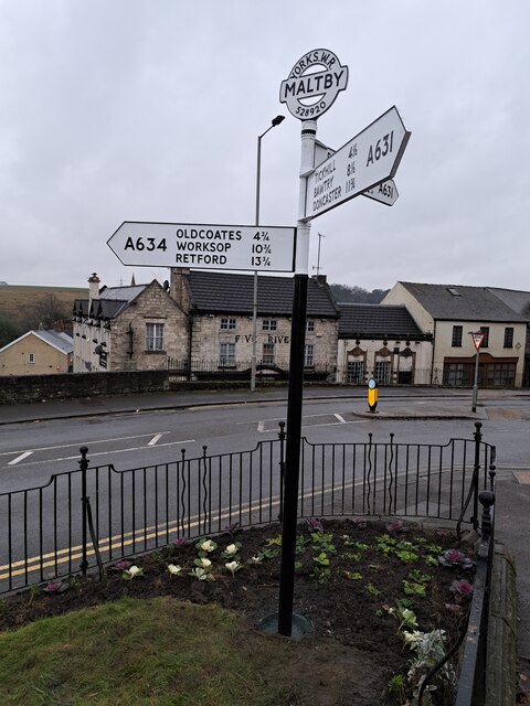
///mindset.lucky.splinters. Near Maltby, South Yorkshire

Related Wikis

Hooton Levitt

Hooton Levitt (sometimes spelled Hooton Levett) is a village and civil parish in the Metropolitan Borough of Rotherham in South Yorkshire, England; one...

Maltby Academy

Maltby Academy is an academy school in the former mining town of Maltby in South Yorkshire, England. == Admissions == The school has a sixth form. The...

Maltby, South Yorkshire

Maltby is a former mining town and civil parish in the Metropolitan Borough of Rotherham, South Yorkshire, England. It was historically in the West Riding...

Maltby Main F.C.

Maltby Main Football Club is a football club based in Maltby, Rotherham, South Yorkshire. They are currently members of the Northern Counties East League...

Carr, South Yorkshire

Carr is a hamlet in the civil parish of Laughton-en-le-Morthen, in the Rotherham district lying to the south of Rotherham, South Yorkshire, England....

Slade Hooton

Slade Hooton is a hamlet in the Metropolitan Borough of Rotherham, in South Yorkshire, England. Historically in the West Riding of Yorkshire, the hamlet...

Roche Abbey

Roche Abbey is a now-ruined abbey in the civil parish of Maltby, Rotherham, South Yorkshire, England. It is in the valley of Maltby Dyke, known locally...

Hellaby

Hellaby is a village and civil parish in the Metropolitan Borough of Rotherham, South Yorkshire, England. The population of the civil parish at the 2011...

Nearby Amenities

Located within 500m of 53.414775,-1.212957
Hooton Levitt
Place: hamlet
Lat/Long: 53.417659/-1.216904
Bus Stop
Joan Lane/Terminus
Naptan AtcoCode: 370030532
Naptan Bearing: N
Naptan CommonName: Joan Lane/Terminus
Naptan Indicator: 30532
Naptan Landmark: Terminus/Telephone Box
Naptan PlusbusZoneRef: ROTHCEN
Naptan Street: Joan Lane
Naptan Verified: no
Source: naptan_import
Lat/Long: 53.4183407/-1.2148438
Power: tower
Lat/Long: 53.4128037/-1.2092508
Power: tower
Lat/Long: 53.4128146/-1.2144198
Design: h-frame
Material: wood
Power: tower
Lat/Long: 53.4129252/-1.2198052
Design: h-frame
Material: wood
Power: tower
Lat/Long: 53.4131489/-1.2172542
Design: h-frame
Material: wood
Power: tower
Lat/Long: 53.4133774/-1.2146968
Design: h-frame
Material: wood
Power: tower
Lat/Long: 53.4135903/-1.2097771
Design: h-frame
Material: wood
Power: tower
Lat/Long: 53.4135903/-1.2120651
Design: h-frame
Material: wood
Power: tower
Lat/Long: 53.4135991/-1.2074744
Post Box
Collection Times: Mo-Fr 09:00; Sa 07:00
Post Box Type: wall
Ref: S66 82D
Royal Cypher: GR
Royal Cypher Wikidata: Q33102273
Lat/Long: 53.4179124/-1.2169935
Parking
Lat/Long: 53.418514/-1.215919
Defibrillator
Access: yes
Defibrillator Location: By the side of the road outside number 28 Joan Lane.
Emergency: defibrillator
Indoor: no
Lat/Long: 53.4188929/-1.2132487
The data included in this document is from www.openstreetmap.org. The data is made available under ODbL.

Have you been to Hooton Levitt?

Leave your review of Hooton Levitt below (or comments, questions and feedback).