Holywell-cum-Needingworth
Civil Parish in Huntingdonshire Huntingdonshire
England
Holywell-cum-Needingworth
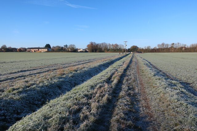
Holywell-cum-Needingworth is a civil parish located in the county of Huntingdonshire, in the East of England. It is situated approximately 6 miles east of the town of Huntingdon and covers an area of around 7.5 square miles.
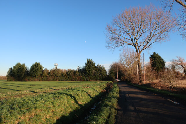
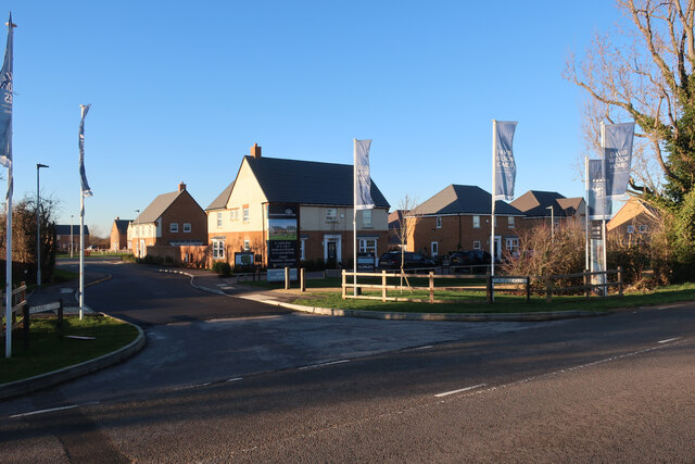
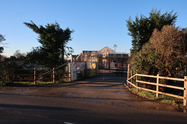
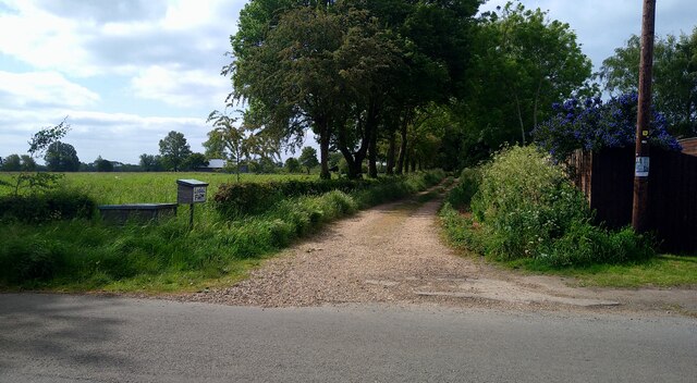
The parish is made up of two distinct villages, Holywell and Needingworth, which are separated by the River Great Ouse. Holywell is the smaller of the two villages and is characterized by its quaint cottages and traditional English charm. Needingworth, on the other hand, is a larger village with a mix of old and new buildings, including several modern housing estates.
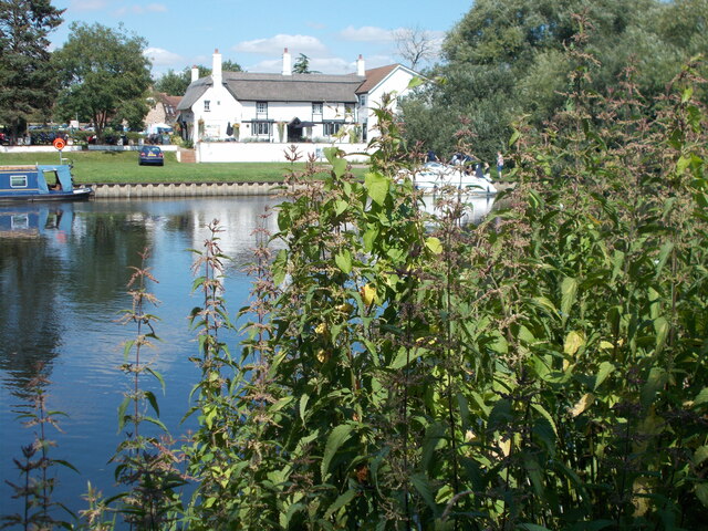
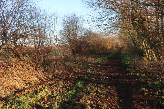
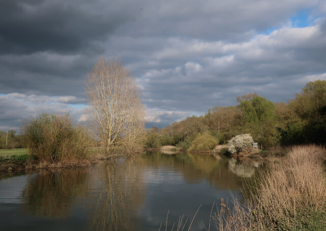
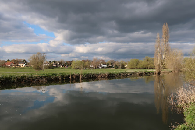
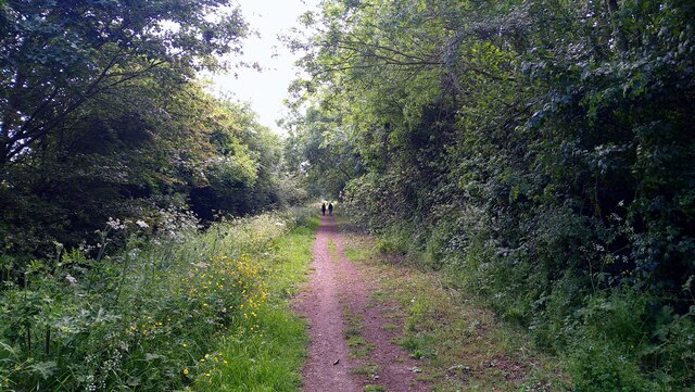
The River Great Ouse plays a significant role in the parish, providing scenic views and recreational opportunities for residents and visitors alike. It is a popular spot for boating, fishing, and leisurely walks along the riverbank.
The parish is well-served by amenities, including a primary school, a community center, a pub, and a village shop. There are also several sports and social clubs, offering activities such as football, cricket, and gardening.
Holywell-cum-Needingworth benefits from its proximity to major road networks, with the A14 and A1(M) allowing for easy access to nearby towns and cities. The parish is also well-connected by public transport, with regular bus services running to Huntingdon and surrounding areas.
Overall, Holywell-cum-Needingworth is a picturesque and welcoming civil parish, offering a peaceful rural setting while still providing convenient access to essential amenities and transport links.
If you have any feedback on the listing, please let us know in the comments section below.
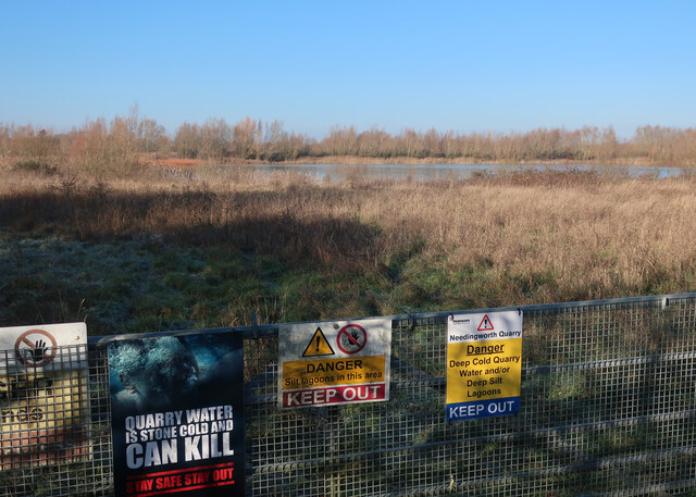
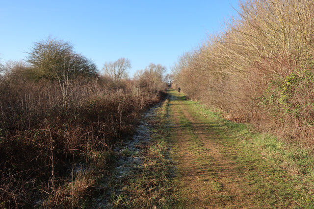
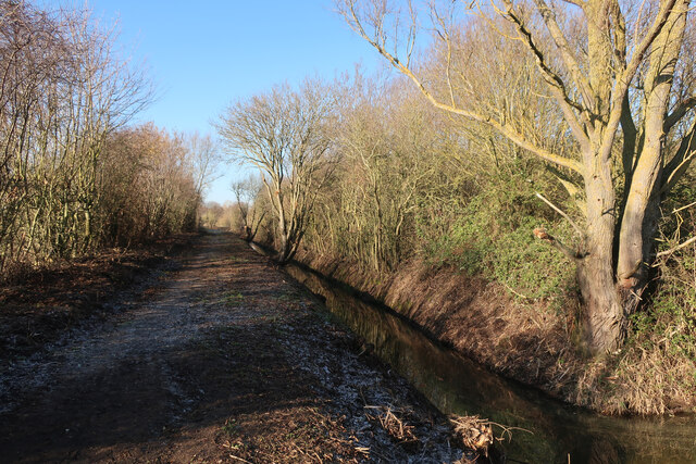
Holywell-cum-Needingworth Images
Images are sourced within 2km of 52.331319/-0.034024 or Grid Reference TL3472. Thanks to Geograph Open Source API. All images are credited.


Holywell-cum-Needingworth is located at Grid Ref: TL3472 (Lat: 52.331319, Lng: -0.034024)
Administrative County: Cambridgeshire
District: Huntingdonshire
Police Authority: Cambridgeshire
What 3 Words
///stubborn.disgraced.scouted. Near Needingworth, Cambridgeshire
Nearby Locations
Related Wikis

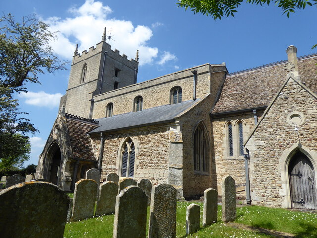
Holywell, Cambridgeshire
Holywell is a village in Cambridgeshire, England, approximately 6 miles (10 km) east of Huntingdon, in the civil parish of Holywell-cum-Needingworth. It...
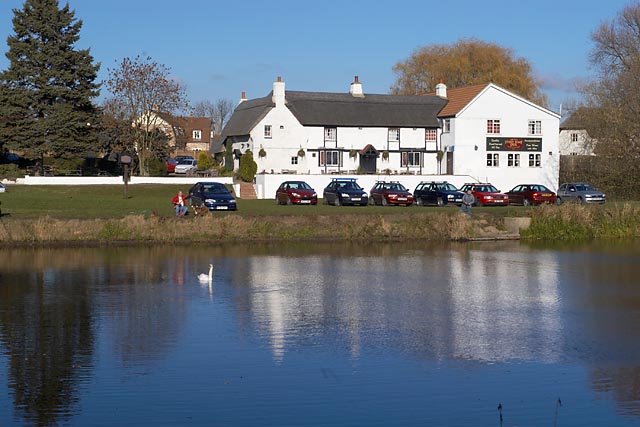
The Old Ferry Boat Inn
The Old Ferry Boat Inn is a pub in Holywell, Huntingdonshire, Cambridgeshire, England. It is situated on the banks of the River Great Ouse.The Old Ferry...
Needingworth
Needingworth is a village in Cambridgeshire, England. Needingworth lies approximately 7 miles (11 km) east of Huntingdon and just west of the Prime Meridian...
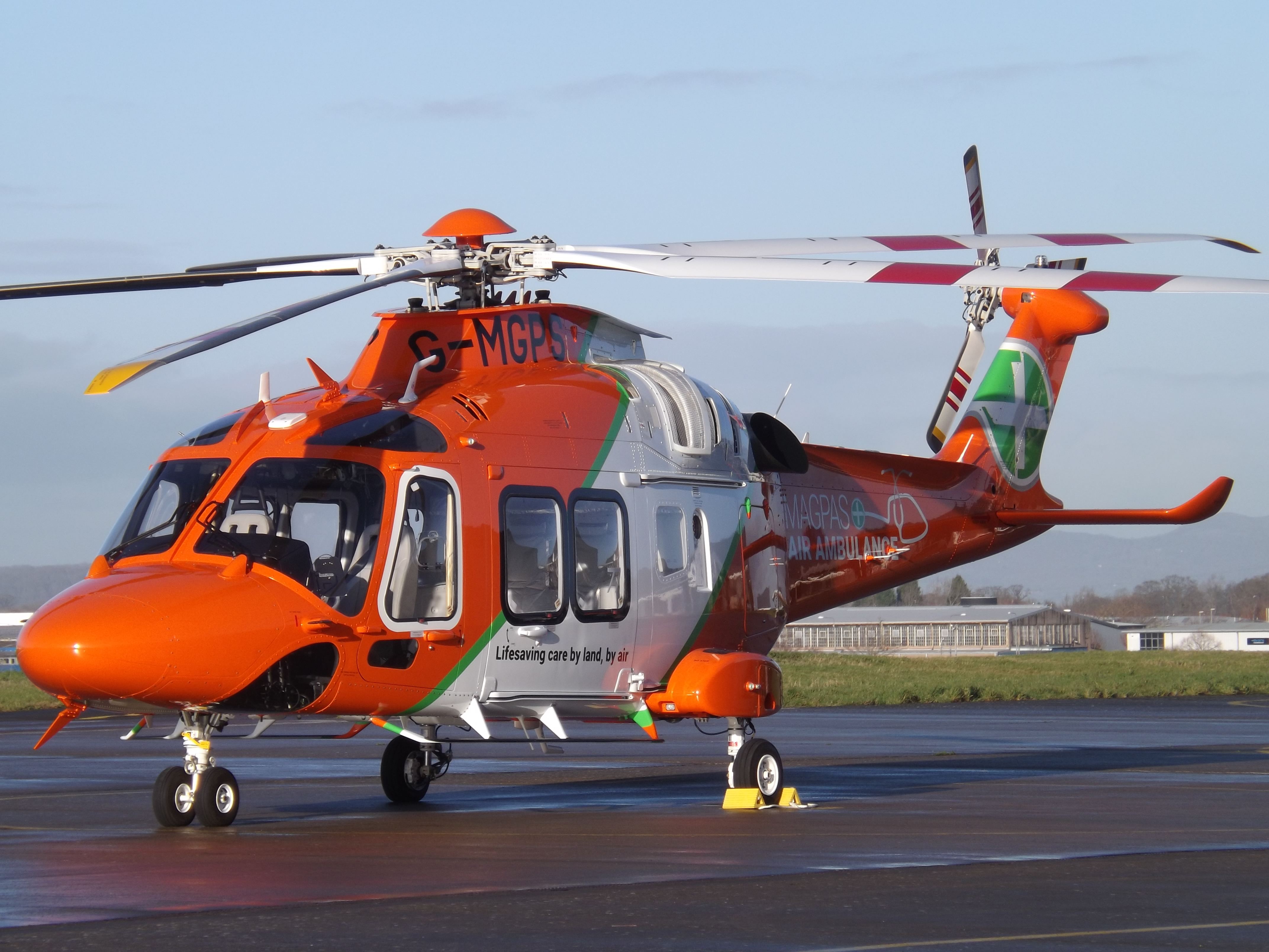
Magpas
Magpas Air Ambulance is a registered charity that operates a helicopter emergency medical service (HEMS) dedicated to the seriously ill and injured in...
Nearby Amenities
Located within 500m of 52.331319,-0.034024Have you been to Holywell-cum-Needingworth?
Leave your review of Holywell-cum-Needingworth below (or comments, questions and feedback).