Needingworth
Settlement in Huntingdonshire Huntingdonshire
England
Needingworth
The requested URL returned error: 429 Too Many Requests
If you have any feedback on the listing, please let us know in the comments section below.
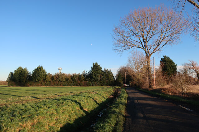
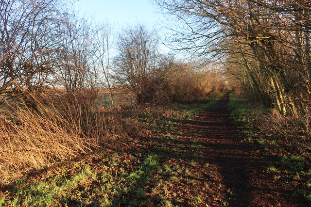
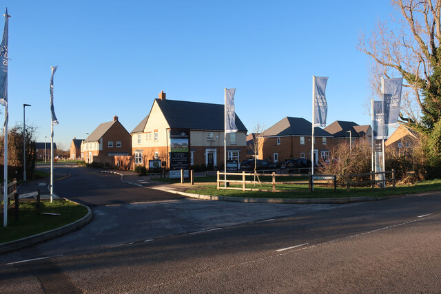
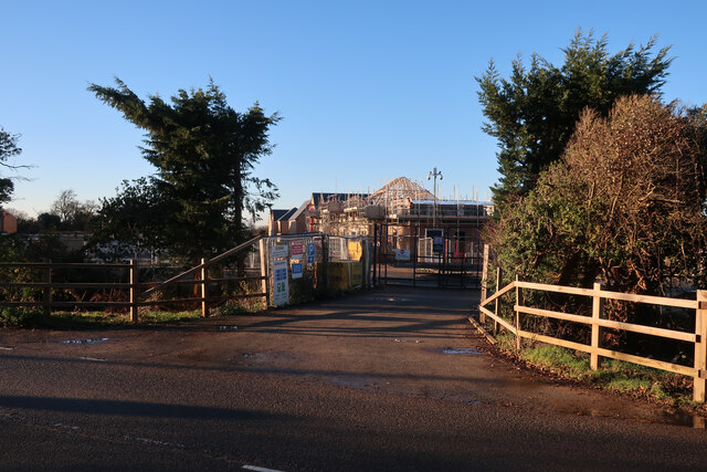
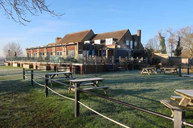
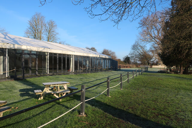
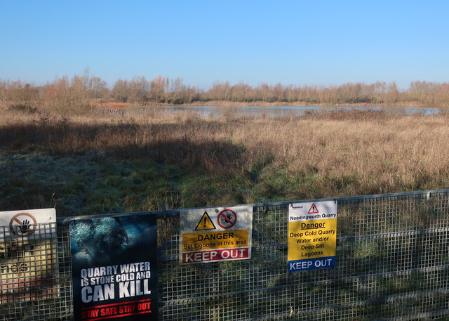
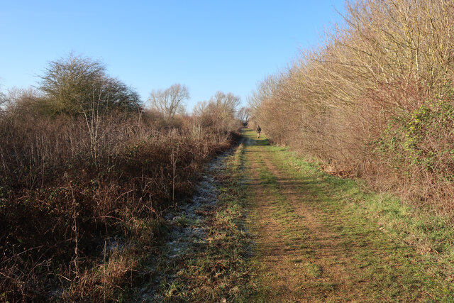
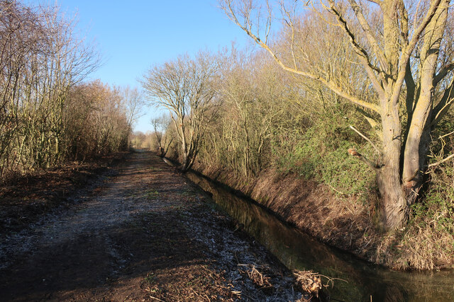
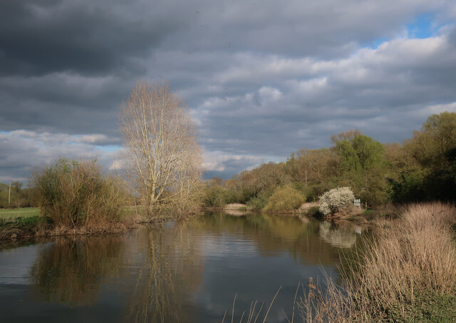
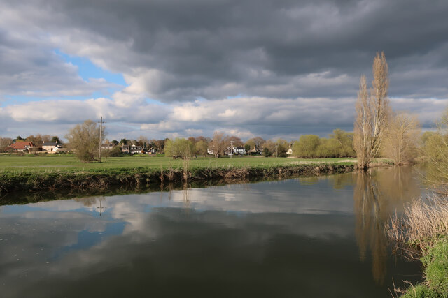
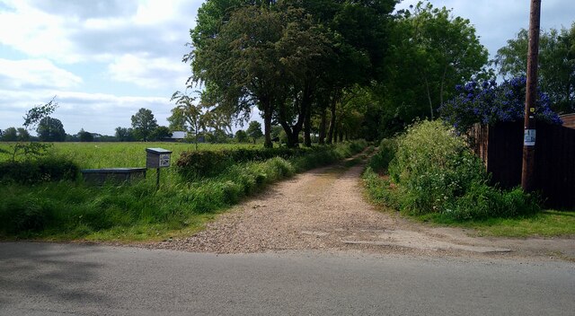
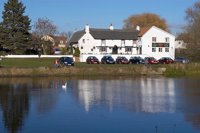
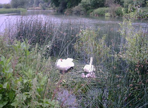
Needingworth Images
Images are sourced within 2km of 52.330454/-0.032271045 or Grid Reference TL3472. Thanks to Geograph Open Source API. All images are credited.


Needingworth is located at Grid Ref: TL3472 (Lat: 52.330454, Lng: -0.032271045)
Administrative County: Cambridgeshire
District: Huntingdonshire
Police Authority: Cambridgeshire
What 3 Words
///pony.airbrush.unlimited. Near Needingworth, Cambridgeshire
Nearby Locations
Related Wikis

Holywell, Cambridgeshire
Holywell is a village in Cambridgeshire, England, approximately 6 miles (10 km) east of Huntingdon, in the civil parish of Holywell-cum-Needingworth. It...
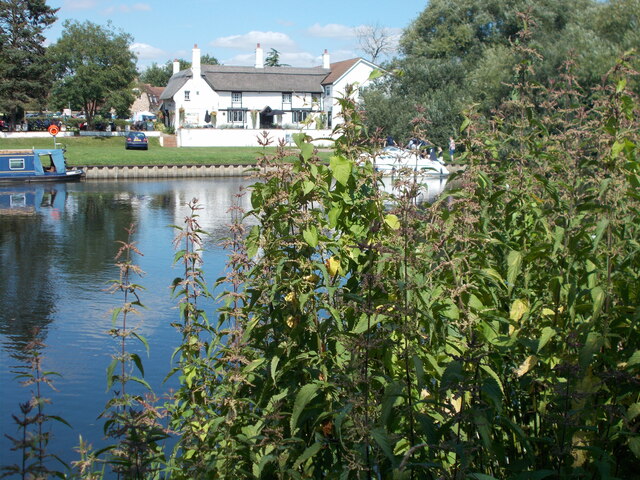
The Old Ferry Boat Inn
The Old Ferry Boat Inn is a pub in Holywell, Huntingdonshire, Cambridgeshire, England. It is situated on the banks of the River Great Ouse.The Old Ferry...
Needingworth
Needingworth is a village in Cambridgeshire, England. Needingworth lies approximately 7 miles (11 km) east of Huntingdon and just west of the Prime Meridian...
Ouse Valley Way
The Ouse Valley Way is a 150-mile (240 km) footpath in England, following the River Great Ouse from its source near Syresham in Northamptonshire to its...
Nearby Amenities
Located within 500m of 52.330454,-0.032271045Have you been to Needingworth?
Leave your review of Needingworth below (or comments, questions and feedback).