Broniarth Hill
Settlement in Montgomeryshire
Wales
Broniarth Hill
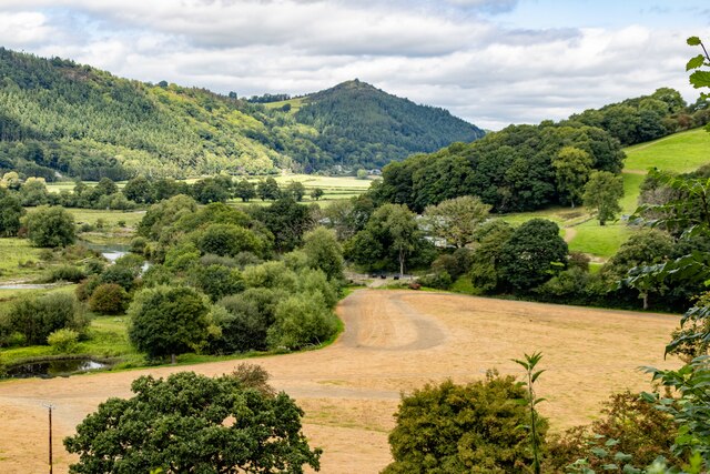
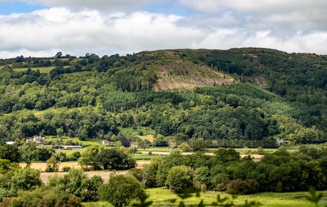
Broniarth Hill is a captivating natural landmark located in Montgomeryshire, a historic county in Wales, United Kingdom. Situated near the village of Meifod, this hill boasts a commanding presence in the surrounding landscape. Rising to an elevation of 427 meters (1,401 feet), it offers breathtaking panoramic views of the picturesque countryside.
Covered in lush greenery, Broniarth Hill is home to a diverse range of flora and fauna, making it a haven for nature enthusiasts. The hillside is adorned with a patchwork of vibrant wildflowers during the spring and summer months, creating a vibrant and colorful tapestry. The area is also known for its rich biodiversity, with numerous species of birds, butterflies, and small mammals inhabiting the hill.
Broniarth Hill holds historical significance as well. The remnants of an ancient hillfort can be found at the summit, dating back to the Iron Age. This archaeological site provides a glimpse into the region's past and offers an opportunity for visitors to explore its history.
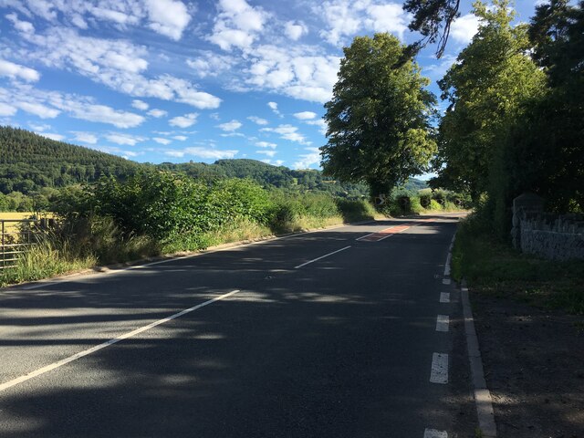
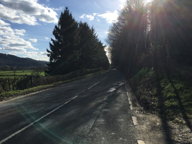
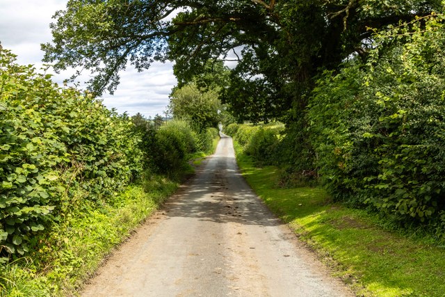
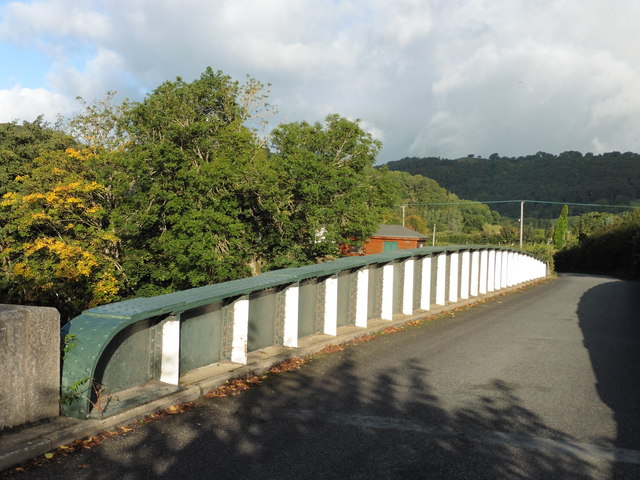
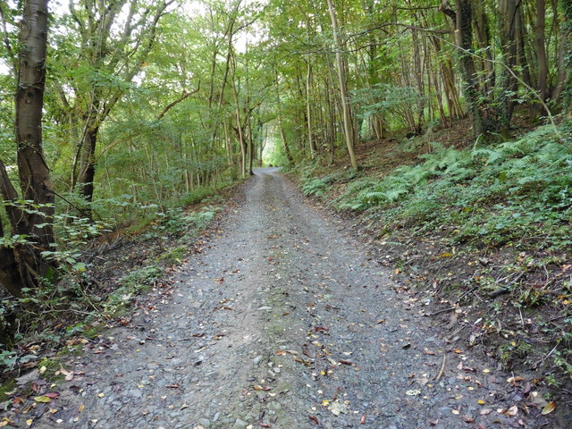
The hill is a popular destination for hikers and walkers, offering several well-marked trails that cater to different skill levels. The pathways meander through the rolling countryside, showcasing the region's natural beauty. As visitors ascend the hill, they are rewarded with stunning vistas of the surrounding valleys and mountains, creating a truly memorable experience.
Broniarth Hill is not only a place of natural beauty and historical interest but also a tranquil retreat that offers a respite from the hustle and bustle of daily life. With its idyllic surroundings and captivating views, it has become a beloved spot for locals and tourists alike to connect with nature and enjoy the serene ambiance that permeates the area.
If you have any feedback on the listing, please let us know in the comments section below.
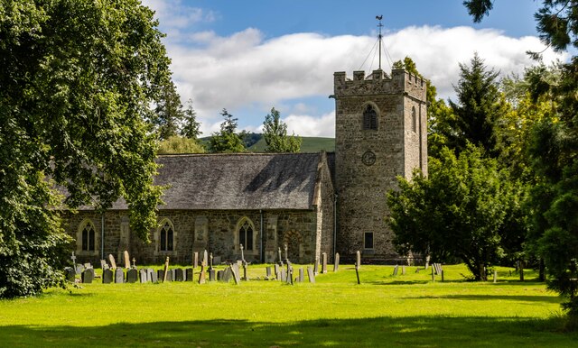
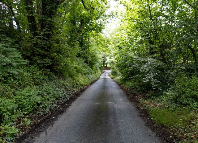
Broniarth Hill Images
Images are sourced within 2km of 52.707251/-3.231417 or Grid Reference SJ1612. Thanks to Geograph Open Source API. All images are credited.


Broniarth Hill is located at Grid Ref: SJ1612 (Lat: 52.707251, Lng: -3.231417)
Unitary Authority: Powys
Police Authority: Dyfed Powys
What 3 Words
///trials.download.remission. Near Guilsfield, Powys
Nearby Locations
Related Wikis

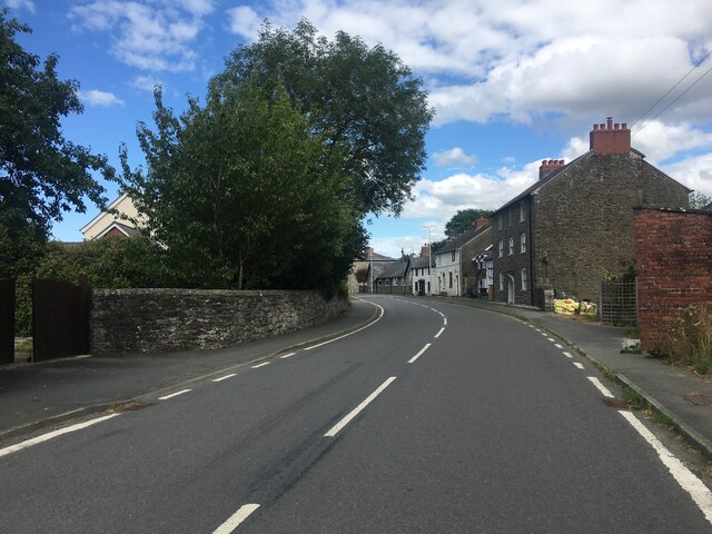
Meifod
Meifod, formerly also written Meivod (), is a small village, community and electoral ward 7 miles north-west of Welshpool in Montgomeryshire, Powys, Wales...
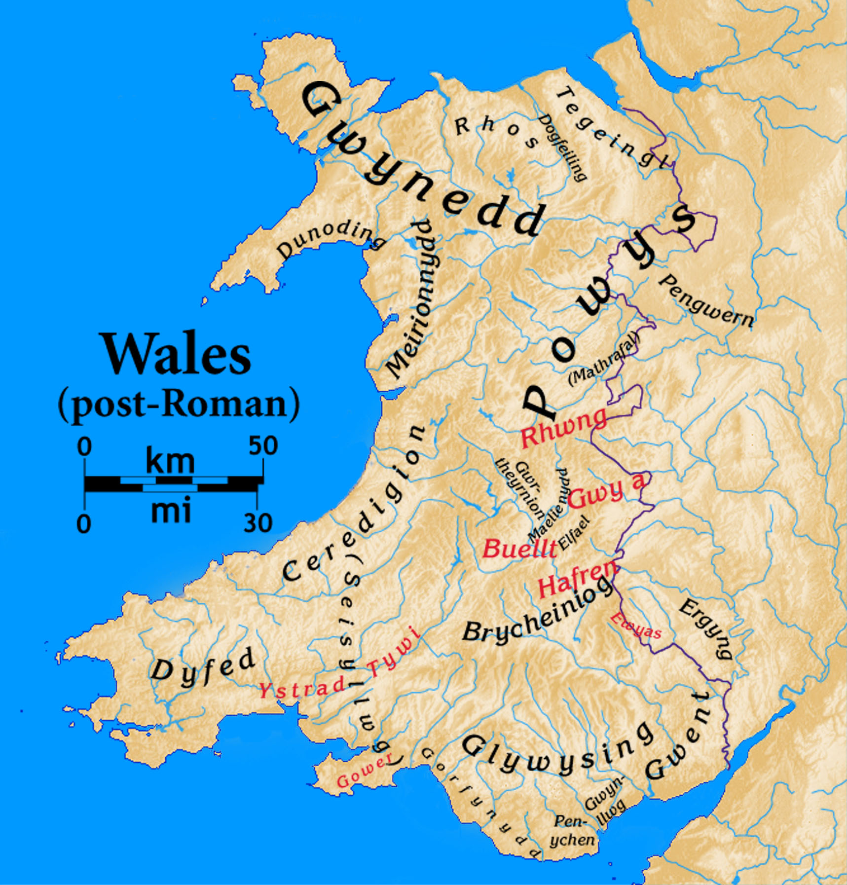
Dogfeiling
Dogfeiling was a minor sub-kingdom and later a commote in north Wales. It formed part of the eastern border of the Kingdom of Gwynedd in early medieval...

Allt-y-Main
Allt-y-Main is a hamlet in the community of Meifod, Powys, Wales, which is 86 miles (139 km) from Cardiff and 156 miles (252 km) from London. == References... ==

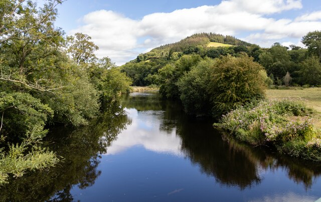
River Banwy
The River Banwy is a river about 19 miles (31 km) long in Powys, Wales. It is a tributary of the River Vyrnwy. The Banwy rises in the hills near the pass...
Related Videos

4K HDR Virtual Walking Meifod loop South, Powys, Wales - Amazing Nature Views
Take a virtual walking tour around Meifod loop South, Powys, Wales and you will discover the stunning views. Route: ...


Elephant killing bull...🐂🐘
e #cobra #africa #cat #photography #travels #beauty #art #yvacations #love #travel #nature #geography #animals #place ...
Nearby Amenities
Located within 500m of 52.707251,-3.231417Have you been to Broniarth Hill?
Leave your review of Broniarth Hill below (or comments, questions and feedback).