Broniarth Hill
Hill, Mountain in Montgomeryshire
Wales
Broniarth Hill
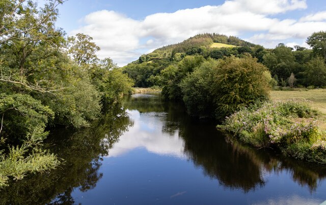
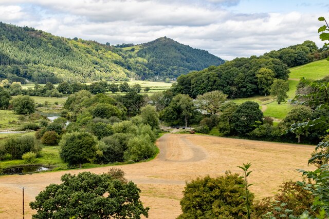
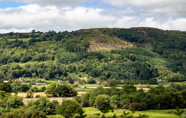
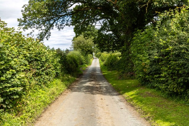
Broniarth Hill, located in the county of Montgomeryshire, is a prominent hill or mountain in the region. Rising to an elevation of approximately 364 meters (1,194 feet), it offers a picturesque and scenic landscape for visitors and locals alike. Situated near the village of Abermule, the hill provides stunning panoramic views of the surrounding countryside.
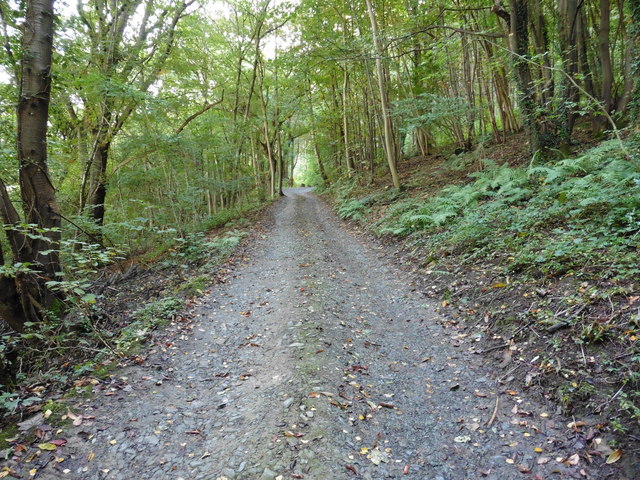
Broniarth Hill is characterized by its rolling slopes, covered in lush green vegetation, including grasses, heather, and various wildflowers. The hill is part of the wider countryside, which features a mix of farmlands, woodlands, and meadows. Its natural beauty and diverse flora make it an attractive destination for outdoor enthusiasts, hikers, and nature lovers.
The hill is also home to a variety of wildlife, including small mammals, birds, and butterflies. Visitors may encounter species such as rabbits, foxes, pheasants, and various songbirds during their exploration of the area.
Broniarth Hill offers several walking trails and footpaths, allowing visitors to immerse themselves in the beauty of the countryside. The hill's accessible location and well-maintained paths make it a popular destination for recreational activities such as hiking, jogging, and picnicking.
In addition to its natural appeal, Broniarth Hill holds historical significance. It is believed to have been inhabited since ancient times, and archaeological remains have been discovered in the surrounding area, including Bronze Age burial mounds.
Overall, Broniarth Hill stands as a captivating natural landmark in Montgomeryshire, offering both scenic beauty and a glimpse into the region's rich history.
If you have any feedback on the listing, please let us know in the comments section below.
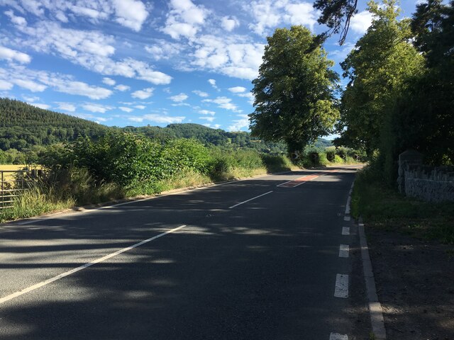
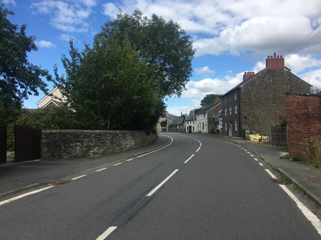
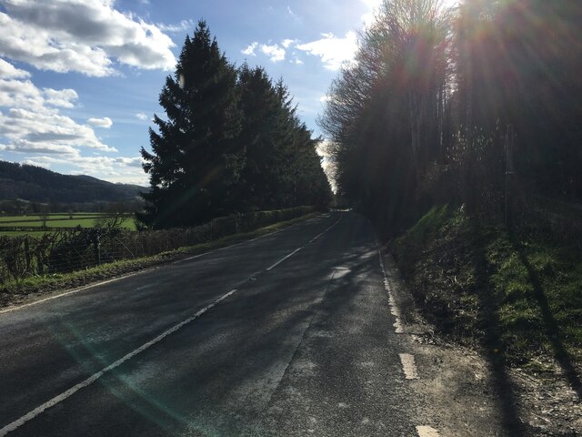
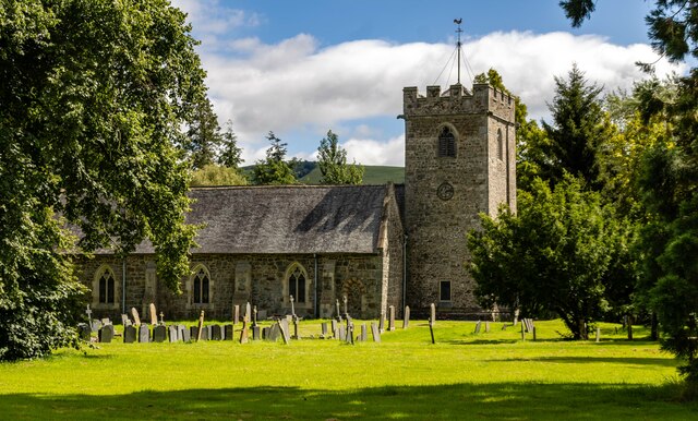
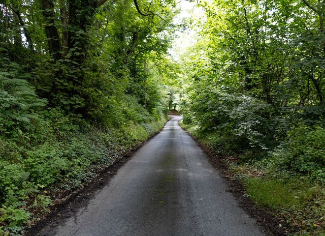
Broniarth Hill Images
Images are sourced within 2km of 52.706762/-3.2320341 or Grid Reference SJ1612. Thanks to Geograph Open Source API. All images are credited.


Broniarth Hill is located at Grid Ref: SJ1612 (Lat: 52.706762, Lng: -3.2320341)
Unitary Authority: Powys
Police Authority: Dyfed Powys
What 3 Words
///wake.permanent.rewrites. Near Guilsfield, Powys
Nearby Locations
Related Wikis

Meifod
Meifod, formerly also written Meivod (), is a small village, community and electoral ward 7 miles north-west of Welshpool in Montgomeryshire, Powys, Wales...
Dogfeiling
Dogfeiling was a minor sub-kingdom and later a commote in north Wales. It formed part of the eastern border of the Kingdom of Gwynedd in early medieval...

Allt-y-Main
Allt-y-Main is a hamlet in the community of Meifod, Powys, Wales, which is 86 miles (139 km) from Cardiff and 156 miles (252 km) from London. == References... ==

River Banwy
The River Banwy is a river about 19 miles (31 km) long in Powys, Wales. It is a tributary of the River Vyrnwy. The Banwy rises in the hills near the pass...
Nearby Amenities
Located within 500m of 52.706762,-3.2320341Have you been to Broniarth Hill?
Leave your review of Broniarth Hill below (or comments, questions and feedback).