Bronington

Settlement in Flintshire

Wales

Bronington

A495 towards Whitchurch
A495 towards Whitchurch Credit: Steven Brown

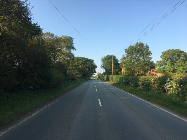
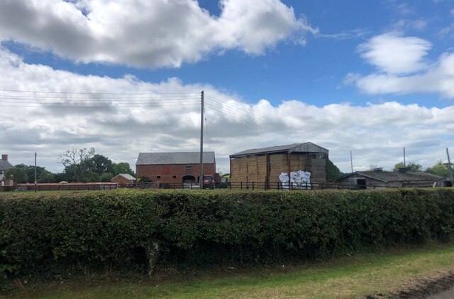
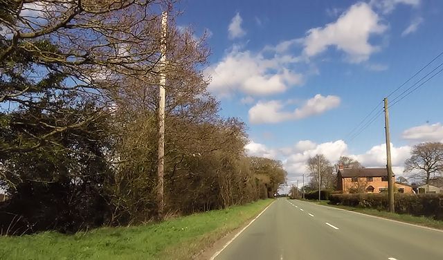
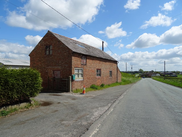
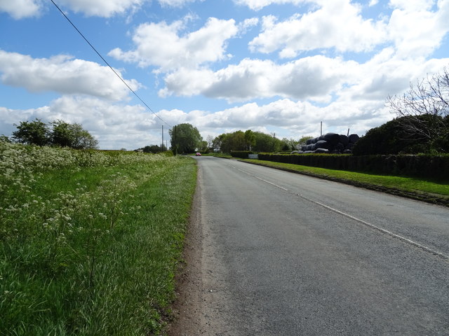
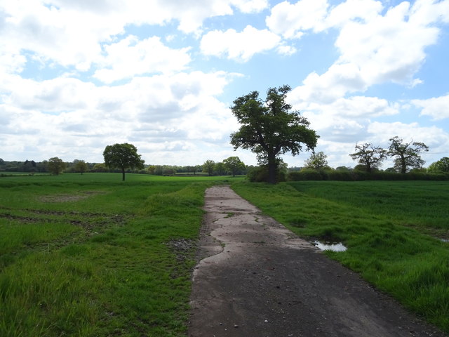
Bronington is a small village located in the county of Flintshire, in northeastern Wales, United Kingdom. Situated close to the border with England, it lies approximately 7 miles southwest of the town of Whitchurch in Shropshire. The village is nestled in a rural setting, surrounded by picturesque countryside and farmland.

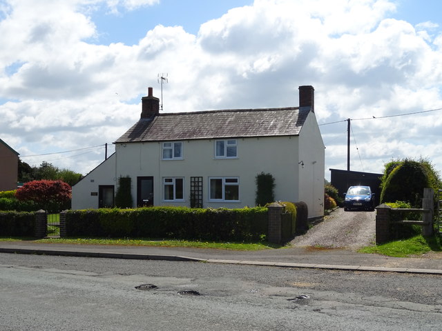
With a population of around 400 residents, Bronington is a close-knit community that offers a peaceful and tranquil atmosphere. The village is known for its attractive traditional buildings, including several charming cottages and a historic church, St. Mary's Church.

Bronington benefits from its proximity to the larger towns of Whitchurch and Wrexham, which provide amenities such as schools, medical facilities, and shopping centers. The village itself has limited amenities, including a local pub and a village hall that serves as a social hub for various community events and gatherings.

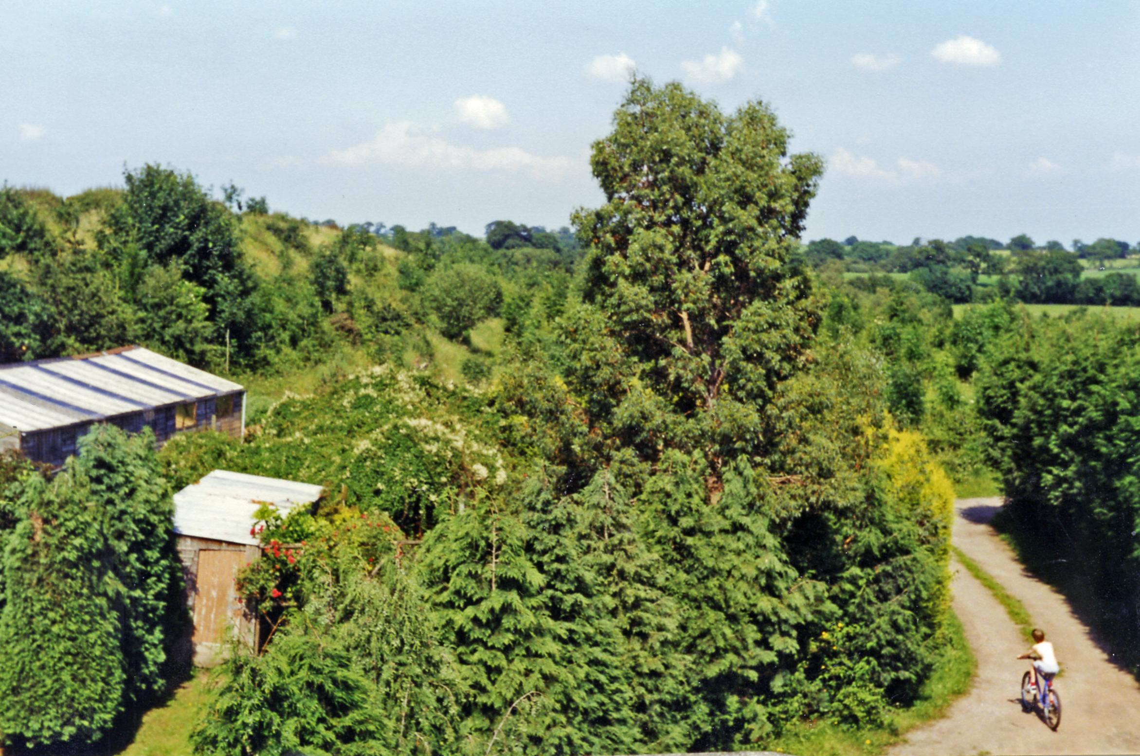
The surrounding area offers plenty of opportunities for outdoor activities, such as walking and cycling, with numerous footpaths and bridleways crisscrossing the beautiful countryside. The nearby River Dee also provides opportunities for fishing and boating enthusiasts.

Overall, Bronington offers a serene and idyllic setting for those seeking a peaceful rural lifestyle. Its proximity to larger towns ensures that residents have access to essential services while enjoying the tranquility of village life.

If you have any feedback on the listing, please let us know in the comments section below.

Bronington Images

Images are sourced within 2km of 52.950043/-2.764108 or Grid Reference SJ4839. Thanks to Geograph Open Source API. All images are credited.

A495 towards Whitchurch
Farm buildings, Eglwys Cross
Pinfold Cottage on A495
Farm building, Eglwys Cross Beside the A525.
Farm building, Eglwys Cross
Beside the A525.
House on the A525, Eglwys Cross
A525 near Little Green Farm Looking south east.
A525 near Little Green Farm
Looking south east.
Crop field near Bank Farm Off the A525.
Crop field near Bank Farm
Off the A525.
Farm track near Bank Farm Looking south from the A525.
Farm track near Bank Farm
Looking south from the A525.
A525 towards Whitchurch Looking south east.
A525 towards Whitchurch
Looking south east.
House on the A525, Whitewell
Broad Oak Farm, Whitewell
A525 near Broad Oak Farm Looking east.
A525 near Broad Oak Farm
Looking east.
Elizabeth II postbox on the A525, The Chequer Postbox No. SY13 642.

See <a href="https://www.geograph.org.uk/photo/6142811">SJ4940 : Close up, Elizabeth II postbox on the A525, The Chequer</a> for close up.
Elizabeth II postbox on the A525, The Chequer
Close up, Elizabeth II postbox on the A525, The Chequer Postbox No. SY13 642.

See <a href="https://www.geograph.org.uk/photo/6142808">SJ4940 : Elizabeth II postbox on the A525, The Chequer</a> for context.
Close up, Elizabeth II postbox on the A525, The Chequer
Postbox No. SY13 642. See SJ4940 : Elizabeth II postbox on the A525, The Chequer for context.
Elizabeth II postbox on the A525, Eglwys Cross Postbox No. SY13 666.

See <a href="https://www.geograph.org.uk/photo/6142823">SJ4740 : Close up, Elizabeth II postbox on the A525, Eglwys Cross</a> for close up.
Elizabeth II postbox on the A525, Eglwys Cross
Close up, Elizabeth II postbox on the A525, Eglwys Cross Postbox No. SY13 666.

See <a href="https://www.geograph.org.uk/photo/6142818">SJ4740 : Elizabeth II postbox on the A525, Eglwys Cross</a> for wider view.
Close up, Elizabeth II postbox on the A525, Eglwys Cross
Postbox No. SY13 666. See SJ4740 : Elizabeth II postbox on the A525, Eglwys Cross for wider view.
Junction: New Hall Lane joins the A525
Field of maize stubble West of New Hall Lane, Bronington.
Field of maize stubble
West of New Hall Lane, Bronington.
Show me another place!

Bronington is located at Grid Ref: SJ4839 (Lat: 52.950043, Lng: -2.764108)

Unitary Authority: Wrexham

Police Authority: North Wales

What 3 Words

///craftsmen.tender.awakes. Near Whitchurch, Shropshire

Nearby Locations

Bronington

Related Wikis

Bronington

Bronington is a village and community in Wrexham County Borough, Wales, forming a large part of the Maelor Saesneg. Within the boundaries of the historic...

Llyn Bedydd

Llyn Bedydd is a small lake in Wrexham County Borough, in northeastern Wales, near the border with England. It is 7 kilometres (4.3 mi) south west of...

Whitewell, Wrexham

Whitewell () is a dispersed rural settlement, and surrounding ecclesiastical parish, in the community of Bronington, in the east of Wrexham County Borough...

Fenn's Bank railway station

Fenn's Bank railway station was a station in Bronington, Wrexham, Wales. The station was opened on 4 May 1863 and closed on 18 January 1965. == Details... ==

Nearby Amenities

Located within 500m of 52.950043,-2.764108
Mini Roundabout
Direction: clockwise
Lat/Long: 52.9497815/-2.7672184
Bronington
Name Cy: Bronington
Name En: Bronington
Place: village
Wikidata: Q13126266
Lat/Long: 52.9496851/-2.7659819
Grit Bin
Lat/Long: 52.950004/-2.762768
Grit Bin
Lat/Long: 52.950037/-2.765559
Grit Bin
Lat/Long: 52.950585/-2.76948
Power: pole
Lat/Long: 52.9472914/-2.7582739
Power: pole
Lat/Long: 52.9469278/-2.75943
Power: pole
Lat/Long: 52.9463896/-2.7610715
Power: pole
Lat/Long: 52.9459128/-2.7625306
Barrier: yes
Lat/Long: 52.9531257/-2.7695362
Direction: 170
Generator Method: photovoltaic
Generator Output Electricity: yes
Generator Solar Modules: 8
Generator Source: solar
Generator Type: solar_photovoltaic_panel
Location: roof
Power: generator
Lat/Long: 52.9497889/-2.7646621
Direction: 170
Generator Method: photovoltaic
Generator Output Electricity: yes
Generator Solar Modules: 8
Generator Source: solar
Generator Type: solar_photovoltaic_panel
Location: roof
Power: generator
Lat/Long: 52.9497748/-2.76476
Direction: SSW
Generator Method: photovoltaic
Generator Output Electricity: yes
Generator Solar Modules: 16
Generator Source: solar
Generator Type: solar_photovoltaic_panel
Location: roof
Power: generator
Lat/Long: 52.9514478/-2.7619102
Direction: 95
Generator Method: photovoltaic
Generator Output Electricity: yes
Generator Solar Modules: 12
Generator Source: solar
Generator Type: solar_photovoltaic_panel
Location: roof
Power: generator
Lat/Long: 52.9510624/-2.7612779
Direction: 95
Generator Method: photovoltaic
Generator Output Electricity: yes
Generator Solar Modules: 8
Generator Source: solar
Generator Type: solar_photovoltaic_panel
Location: roof
Power: generator
Lat/Long: 52.9511258/-2.7612551
Direction: 195
Generator Method: photovoltaic
Generator Output Electricity: yes
Generator Solar Modules: 4
Generator Source: solar
Generator Type: solar_photovoltaic_panel
Location: roof
Power: generator
Lat/Long: 52.9504527/-2.7700339
Direction: 195
Generator Method: photovoltaic
Generator Output Electricity: yes
Generator Solar Modules: 10
Generator Source: solar
Generator Type: solar_photovoltaic_panel
Location: roof
Power: generator
Lat/Long: 52.9504665/-2.7701372
Give Way
Lat/Long: 52.9500251/-2.7628671
Give Way
Lat/Long: 52.9499499/-2.7628104
Give Way
Lat/Long: 52.9500794/-2.762576
Give Way
Lat/Long: 52.9501473/-2.7623642
Holy Trinity Churchyard
Tourism: information
Lat/Long: 52.9478403/-2.7585323
Explore the Mosses
Tourism: information
Lat/Long: 52.9484767/-2.7587398
Bench
Lat/Long: 52.9480175/-2.758481
Bench
Lat/Long: 52.9478923/-2.7580308
Post Box
Collection Times: Mo-Fr 09:00; Sa 07:00; Su off
Operator: Royal Mail
Operator Wikidata: Q638098
Operator Wikipedia: en:Royal Mail
Post Box Type: lamp
Ref: SY13 632D
Royal Cypher: EIIR
Lat/Long: 52.9500418/-2.7631095
Colour: green
Man Made: street_cabinet
Operator: Openreach
Ref: 1
Street Cabinet: telecom
Utility: telecom
Lat/Long: 52.9500335/-2.7630075
Colour: green
Man Made: street_cabinet
Operator: Openreach
Street Cabinet: telecom
Telecom Medium: fibre
Utility: telecom
Lat/Long: 52.9500415/-2.7637151
The data included in this document is from www.openstreetmap.org. The data is made available under ODbL.

Have you been to Bronington?

Leave your review of Bronington below (or comments, questions and feedback).