Bronnant

Settlement in Cardiganshire

Wales

Bronnant

Farm at Bronbanadl
Farm at Bronbanadl Credit: David Smith

Bronnant is a small village located in the county of Cardiganshire, Wales. Situated in the picturesque Teifi Valley, it is nestled amidst rolling hills and lush green countryside, offering breathtaking views and a tranquil atmosphere. The village is located approximately 6 miles southeast of the town of Tregaron and about 12 miles northwest of Aberystwyth.

With a population of around 200 residents, Bronnant is known for its close-knit community and friendly atmosphere. The village has a rich history dating back centuries, and this is evident in its traditional Welsh architecture and charming stone cottages that line the streets.

Bronnant offers a range of amenities for its residents and visitors. There is a local primary school, providing education for the village children, and a community hall that serves as a hub for social gatherings and events. The village also has a chapel, reflecting the strong religious heritage of the area.

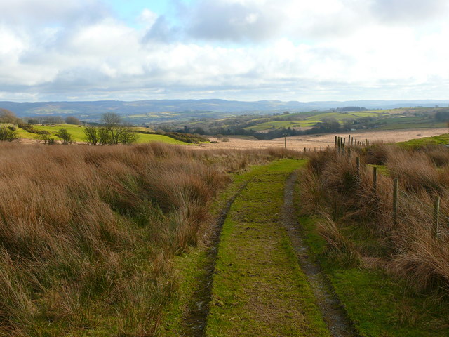
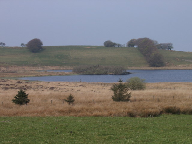
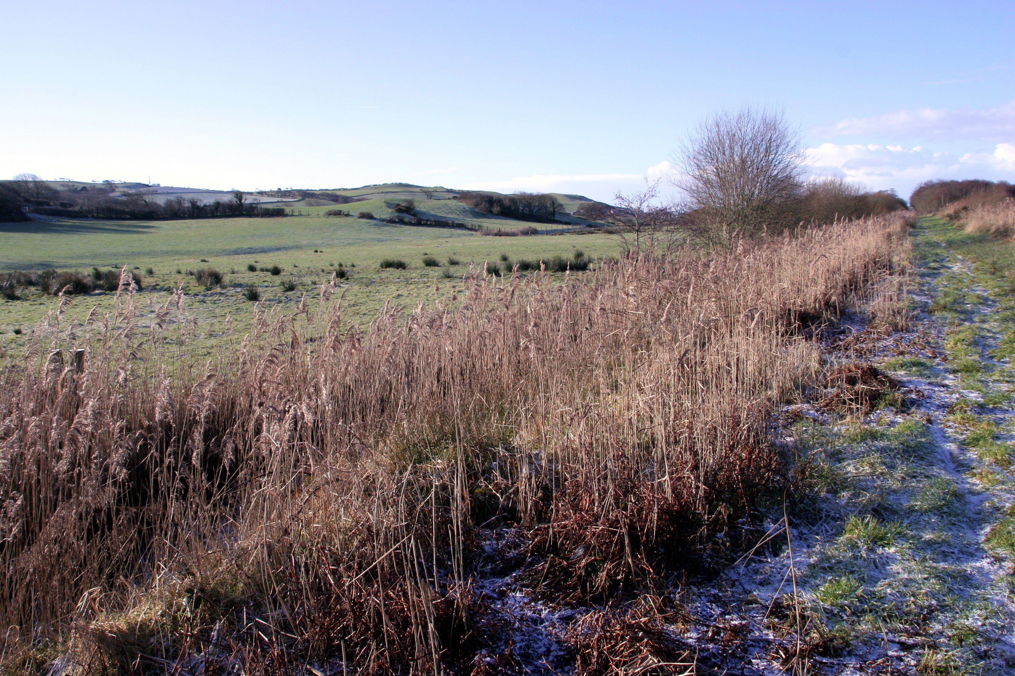
For those seeking outdoor activities, Bronnant is surrounded by stunning natural beauty, making it an ideal location for hiking, cycling, and exploring the nearby Teifi Pools. The village is also a popular destination for anglers, with the Teifi River renowned for its salmon and trout fishing.

Although small in size, Bronnant offers a peaceful and idyllic lifestyle for its residents, while also attracting tourists looking to experience the beauty of rural Wales.

If you have any feedback on the listing, please let us know in the comments section below.

Bronnant Images

Images are sourced within 2km of 52.288908/-3.99528 or Grid Reference SN6467. Thanks to Geograph Open Source API. All images are credited.

Farm at Bronbanadl
Farm at Bronbanadl
A485 crossing Afon Wyre at Cwm-yr-olchfa
A485 in woodland north of Bronant
A485 north of Bronant
Minor road near Tanyfron
Road at Tanyfron
Road at Tanyfron
Overhanging trees south of Tan-y-cwarel
Gorse on a hillside north of Caerarw
Stream beside the road south of Tynreithyn
Track across moor to Bwlch y Geuffordd
Moorland track to Bwlch y Geuffordd
Moorland north-east of Bwlch y Geuffordd Bwlch y Geuffordd is a private garden open to the public under the National Gardens Scheme.  It is remarkable for the variety of plants and features in such an exposed situation.
Moorland north-east of Bwlch y Geuffordd
Bwlch y Geuffordd is a private garden open to the public under the National Gardens Scheme. It is remarkable for the variety of plants and features in such an exposed situation.
Hut in Bwlch y Geuffordd garden Bwlch y Geuffordd is a private garden open to the public under the National Gardens Scheme.  It is remarkable for the variety of plants and features in such an exposed situation.
Hut in Bwlch y Geuffordd garden
Bwlch y Geuffordd is a private garden open to the public under the National Gardens Scheme. It is remarkable for the variety of plants and features in such an exposed situation.
Stream, Bwlch y Geuffordd Bwlch y Geuffordd is a private garden open to the public under the National Gardens Scheme.  It is remarkable for the variety of plants and features in such an exposed situation.
Stream, Bwlch y Geuffordd
Bwlch y Geuffordd is a private garden open to the public under the National Gardens Scheme. It is remarkable for the variety of plants and features in such an exposed situation.
Moorland west of Bwlch y Geuffordd Bwlch y Geuffordd is a private garden open to the public under the National Gardens Scheme.  It is remarkable for the variety of plants and features in such an exposed situation.
Moorland west of Bwlch y Geuffordd
Bwlch y Geuffordd is a private garden open to the public under the National Gardens Scheme. It is remarkable for the variety of plants and features in such an exposed situation.
A485 in Bronant
A485 in Bronant
A485 towards Lledrod
Tafarn Y Bont, Bronant
Show me another place!

Bronnant is located at Grid Ref: SN6467 (Lat: 52.288908, Lng: -3.99528)

Unitary Authority: Ceredigion

Police Authority: Dyfed Powys

Also known as: Bronant

What 3 Words

///prone.reference.cowering. Near Lledrod, Ceredigion

Nearby Locations

Bronant Bronnant

Related Wikis

Nearby Amenities

Located within 500m of 52.288908,-3.99528
Bronant
Alt Name: Bronnant
Is In: Ceredigion, Wales, UK
Name Cy: Bronant
Place: hamlet
Wikidata: Q4973810
Wikipedia: en:Bronant
Lat/Long: 52.2849522/-3.9928267
Restaurant
Tafarn Y Bont Brasserie
Opening Hours: Fr-Sa 18:30-21:00
Operator: Tafarn y Bont
Phone: +44 1974 251864
Smoking: outside
Lat/Long: 52.2903495/-3.9934183
Post Box
Lat/Long: 52.2903638/-3.9937733
The data included in this document is from www.openstreetmap.org. The data is made available under ODbL.

Have you been to Bronnant?

Leave your review of Bronnant below (or comments, questions and feedback).