Broncastellan

Settlement in Cardiganshire

Wales

Broncastellan

The new Bow Street interchange I find it very convenient as it is just a short drive from my house, but generally, the current lack of use does cause one to question the expenditure on the development. Maybe usage will increase when normality returns after covid.
The new Bow Street interchange Credit: John Lucas

Broncastellan is a small village located in the county of Cardiganshire, Wales. Situated in the picturesque countryside of Mid Wales, the village is surrounded by rolling hills and lush green fields. It lies approximately 10 miles east of the town of Cardigan and is part of the rural community of Cilgerran.

With a population of around 200 residents, Broncastellan maintains a close-knit and friendly atmosphere. The village primarily consists of traditional Welsh stone cottages, giving it a charming and quaint appearance. The local community is primarily engaged in agriculture, with farming and livestock rearing being the main occupations.

The village is home to a small primary school, providing education for the local children. Nearby, residents have access to various amenities, including a post office, a village hall, and a local pub. The village's close proximity to Cardigan allows residents to enjoy a wider range of services and facilities, including shops, supermarkets, and healthcare facilities.

Nature lovers will be delighted by the abundance of natural beauty surrounding Broncastellan. The village is located close to Pembrokeshire Coast National Park, offering residents and visitors the opportunity to explore stunning coastal landscapes, cliffs, and beaches. The area is also known for its rich wildlife, including various bird species and marine life.

Overall, Broncastellan offers a peaceful and idyllic lifestyle for its residents, with its picturesque setting and strong community spirit.

If you have any feedback on the listing, please let us know in the comments section below.

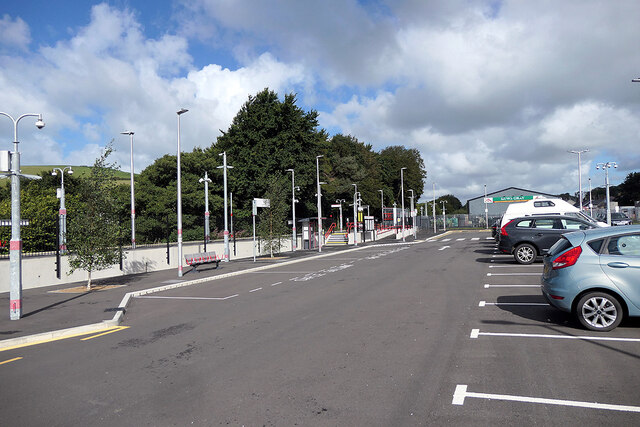
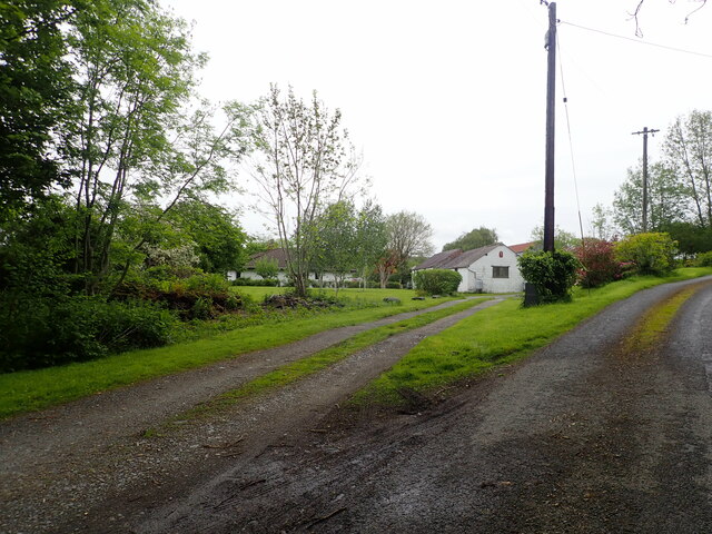
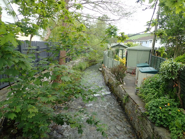
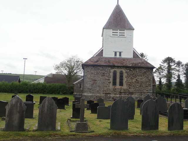
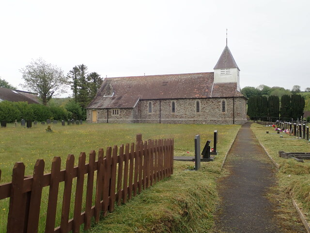
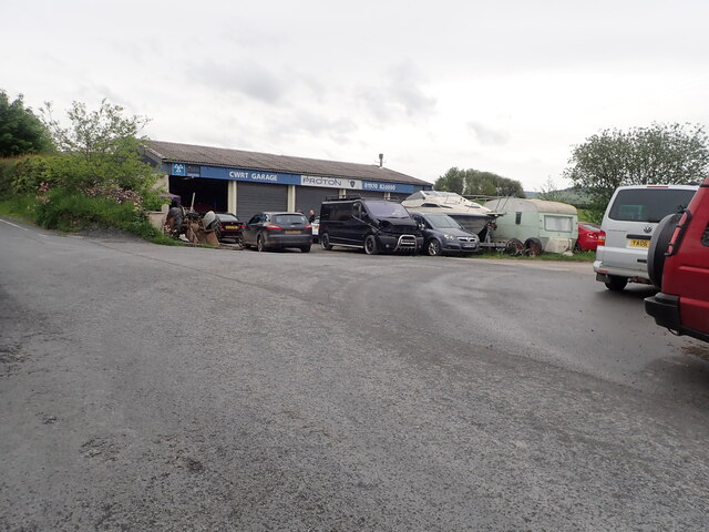
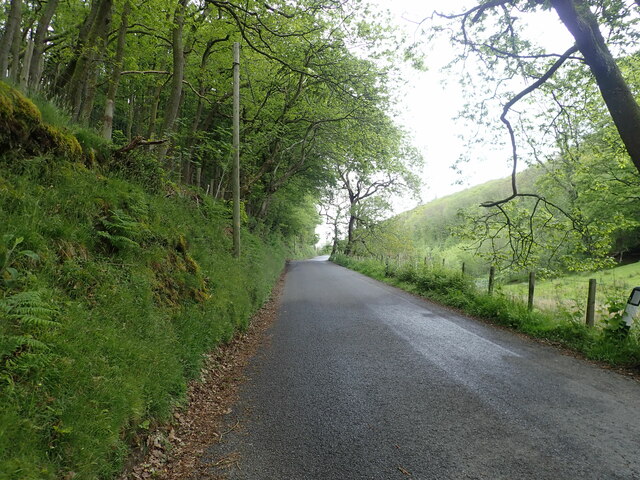
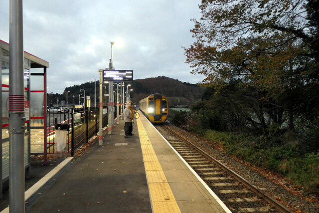
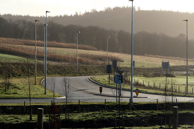
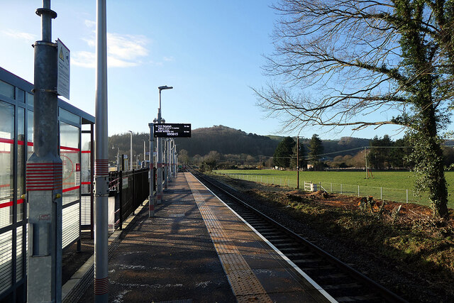
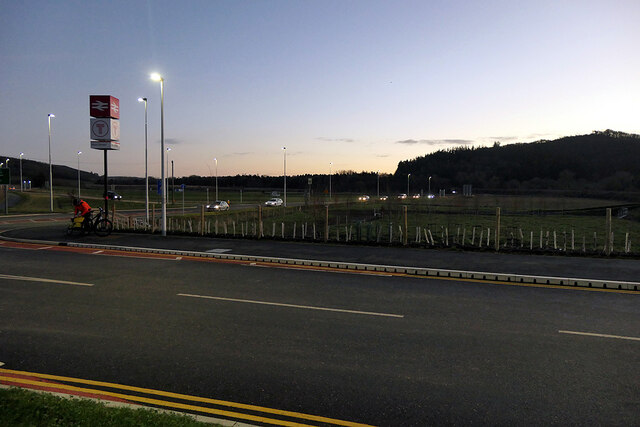
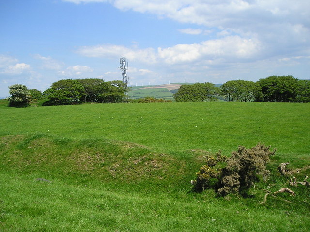
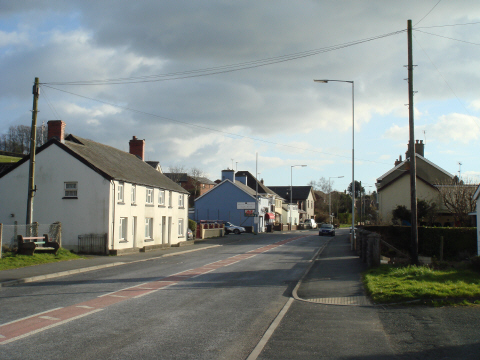
Broncastellan Images

Images are sourced within 2km of 52.437016/-4.010352 or Grid Reference SN6384. Thanks to Geograph Open Source API. All images are credited.

The new Bow Street interchange I find it very convenient as it is just a short drive from my house, but generally, the current lack of use does cause one to question the expenditure on the development. Maybe usage will increase when normality returns after covid.
The new Bow Street interchange
I find it very convenient as it is just a short drive from my house, but generally, the current lack of use does cause one to question the expenditure on the development. Maybe usage will increase when normality returns after covid.
Green lane to Felin Hen
Felin Hen Farm in the hills near Penrhyn Coch
Felin Hen
Farm in the hills near Penrhyn Coch
Houses on a junction at Cefn Llwyd
Pen-y-Berth The barns have had a make-over since <a href="https://www.geograph.org.uk/photo/3091485">SN6483 : Pen-y-berth, near Penrhyn-coch</a>
Pen-y-Berth
The barns have had a make-over since SN6483 : Pen-y-berth, near Penrhyn-coch
Farm track to PenyBerth Isaf
Penrhyn-Coch Arriving at the village from the South
Penrhyn-Coch
Arriving at the village from the South
Nant Clarach at Penrhyn-Coch
Penrhyn-Coch War Memorial In front of the Post Office cum village shop
Penrhyn-Coch War Memorial
In front of the Post Office cum village shop
St John's Church, Penrhyn-Coch
Afon Stewi River This stream joins with Nant Silo to become the River Clarach
Afon Stewi River
This stream joins with Nant Silo to become the River Clarach
Cwrt Garage Half way up a hill north of Penrhyn-Coch
Cwrt Garage
Half way up a hill north of Penrhyn-Coch
Minor road north from Penrhyn Coch Quite a steep ascent from the village, and a short stretch now through Coed Pen-y-Cwm
Minor road north from Penrhyn Coch
Quite a steep ascent from the village, and a short stretch now through Coed Pen-y-Cwm
A train for Shrewsbury arriving at Bow Street station
Road junction south of Bow Street The A4159 road joining the A487. This is a revised layout, it previously being a 'Y' junction. The layout was changed as part of the development of the new Bow Street railway station between 2018 and 2021.
Road junction south of Bow Street
The A4159 road joining the A487. This is a revised layout, it previously being a 'Y' junction. The layout was changed as part of the development of the new Bow Street railway station between 2018 and 2021.
On Bow Street station platform Over an hour until the next train. The hourly service on the Aberystwyth line, promised by Transport for Wales when it gained the franchise and due to start this year, has now been delayed until 2024. It would appear that TFW has not explained the change.
On Bow Street station platform
Over an hour until the next train. The hourly service on the Aberystwyth line, promised by Transport for Wales when it gained the franchise and due to start this year, has now been delayed until 2024. It would appear that TFW has not explained the change.
The A487 road Viewed from Bow Street station entrance.
The A487 road
Viewed from Bow Street station entrance.
Show me another place!

Broncastellan is located at Grid Ref: SN6384 (Lat: 52.437016, Lng: -4.010352)

Unitary Authority: Ceredigion

Police Authority: Dyfed Powys

What 3 Words

///unpacked.koala.takeovers. Near Bow Street, Ceredigion

Nearby Locations

Broncastellan Hen Gaer

Related Wikis

Hen Gaer

Hen Gaer is an Iron Age hillfort, on a hill adjacent to and east of Bow Street, Ceredigion, Wales. Other names of the hillfort are Broncastellan and Caer...

Gogerddan

Gogerddan, or in English, Gogarthen, was an estate near to Trefeurig and the most important in what was then the county of Cardiganshire, Wales. Owned...

Penrhyncoch F.C.

Penrhyncoch Football Club (Welsh: Clwb PĂȘl Droed Penrhyncoch) is a semi-professional football club based in Penrhyn-coch, Ceredigion, Wales. They currently...

Penrhyn-coch

Penrhyn-coch is a small Welsh village, in the community of Trefeurig, Ceredigion, located between the Afon Stewi and Nant Seilo rivers, close to where...

Bow Street, Ceredigion

Bow Street is a large village in the Tirymynach district of Ceredigion, Wales, approximately 3.5 miles (5.6 km) north-east of Aberystwyth. As well as Bow...

Bow Street railway station

Bow Street is a railway station on the Cambrian Line, which runs between Shrewsbury and Aberystwyth or Pwllheli. The station, situated 4 miles 30 chains...

Garth, Ceredigion

Garth, Ceredigion is a small village in the community of Trefeurig, Ceredigion, Wales, which is 74.6 miles (120.1 km) from Cardiff and 176.3 miles (283...

Pen-y-garn, Ceredigion

Pen-y-garn is a small village in the Tirymynach district of Ceredigion, Wales, approximately 4 miles (6 km) north-east of Aberystwyth. Along with the hamlet...

Nearby Amenities

Located within 500m of 52.437016,-4.010352
Post Box
Operator: Royal Mail
Ref: SY23 113
Lat/Long: 52.4345949/-4.0094717
Barrier: stile
Lat/Long: 52.4374653/-4.0151431
Barrier: stile
Lat/Long: 52.436287/-4.0140075
Gogerddan Picnic Site
Tourism: picnic_site
Lat/Long: 52.4347434/-4.0112502
Gogerddan Allt Ddel
Tourism: information
Lat/Long: 52.434536/-4.0108114
Hen Gaer
Natural: peak
Wikidata: Q106711146
Lat/Long: 52.440514/-4.0138009
Place: farm
Lat/Long: 52.4394049/-4.0074413
Power: pole
Lat/Long: 52.4399953/-4.0070754
Power: pole
Lat/Long: 52.4412478/-4.008438
Power: pole
Lat/Long: 52.4413132/-4.0119544
Man Made: tower
Tower Type: communication
Lat/Long: 52.4411644/-4.0120482
Power: pole
Lat/Long: 52.4407442/-4.0139151
Power: pole
Lat/Long: 52.4399626/-4.0134645
Power: pole
Lat/Long: 52.4392334/-4.013105
Power: pole
Lat/Long: 52.438527/-4.0115869
Power: pole
Lat/Long: 52.4378043/-4.0100151
Power: pole
Lat/Long: 52.4371731/-4.0092775
Power: pole
Lat/Long: 52.4365191/-4.0084595
Power: pole
Lat/Long: 52.4357734/-4.0075046
Power: pole
Lat/Long: 52.4352322/-4.0068474
Power: pole
Lat/Long: 52.434596/-4.0060025
Crossing
Crossing: unmarked
Crossing Island: no
Tactile Paving: no
Lat/Long: 52.4348444/-4.0075006
Direction: 165
Generator Method: photovoltaic
Generator Output Electricity: yes
Generator Solar Modules: 14
Generator Source: solar
Generator Type: solar_photovoltaic_panel
Location: roof
Power: generator
Lat/Long: 52.4342412/-4.0118444
Direction: 165
Generator Method: photovoltaic
Generator Output Electricity: yes
Generator Solar Modules: 12
Generator Source: solar
Generator Type: solar_photovoltaic_panel
Location: roof
Power: generator
Lat/Long: 52.4347988/-4.0085627
Direction: 190
Generator Method: photovoltaic
Generator Output Electricity: yes
Generator Solar Modules: 7
Generator Source: solar
Generator Type: solar_photovoltaic_panel
Location: roof
Power: generator
Lat/Long: 52.4363956/-4.0050517
Barrier: stile
Lat/Long: 52.4381095/-4.0166467
The data included in this document is from www.openstreetmap.org. The data is made available under ODbL.

Have you been to Broncastellan?

Leave your review of Broncastellan below (or comments, questions and feedback).