Bronant
Settlement in Cardiganshire
Wales
Bronant

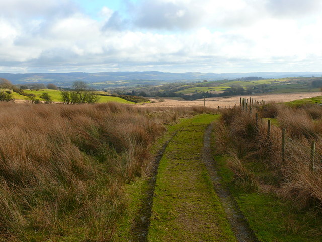
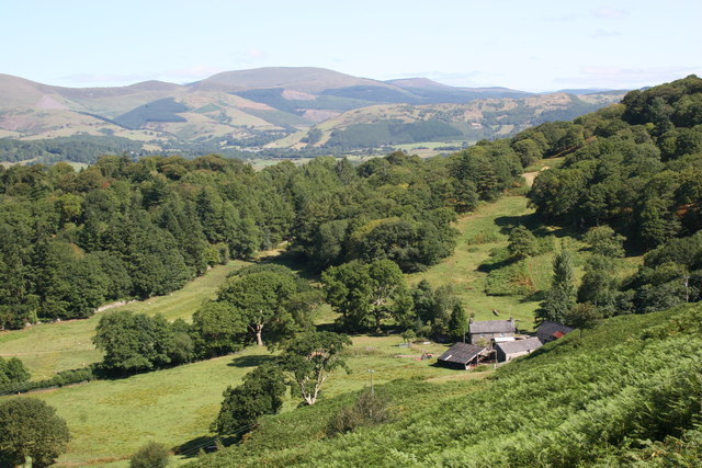
Bronant is a small village located in the county of Cardiganshire, Wales. Situated in the scenic countryside, it lies approximately 12 miles southeast of Aberystwyth and is surrounded by rolling hills and lush farmland. The village is nestled in the picturesque valley of the River Rheidol, which winds its way through the region.
Bronant is home to a close-knit community of around 500 residents. The village primarily consists of traditional stone-built houses, reflecting its rich historical heritage. The area has been inhabited for centuries, with evidence of Bronze Age settlements and Roman activity in the vicinity.
Despite its small size, Bronant offers a range of amenities to its residents. These include a local pub, a village hall, and a primary school, catering to the educational needs of the children in the area. The village is also well-connected, with regular bus services to nearby towns and villages, providing convenient access to further facilities and services.
Nature enthusiasts are drawn to Bronant due to its stunning surroundings. The village serves as a gateway to the scenic Cwm Rheidol Nature Reserve, which showcases diverse flora and fauna, including the majestic red kites that soar above the valley. The surrounding countryside offers fantastic opportunities for hiking, cycling, and exploring the great outdoors.
Overall, Bronant's tranquil atmosphere, beautiful landscapes, and strong sense of community make it an appealing place to live for those seeking a peaceful rural lifestyle in the heart of Wales.
If you have any feedback on the listing, please let us know in the comments section below.
Bronant Images
Images are sourced within 2km of 52.284765/-3.991443 or Grid Reference SN6467. Thanks to Geograph Open Source API. All images are credited.


Bronant is located at Grid Ref: SN6467 (Lat: 52.284765, Lng: -3.991443)
Unitary Authority: Ceredigion
Police Authority: Dyfed Powys
Also known as: Bronnant
What 3 Words
///distorts.hogs.introduce. Near Lledrod, Ceredigion
Related Wikis

Bronant
Bronant is a hamlet in the county of Ceredigion, mid Wales. It lies on the A485 road which runs north from Tregaron to Llanilar and falls within the community...
Bontnewydd, Ceredigion
Bontnewydd is a small village in Ceredigion between Tregaron and Aberystwyth near the village of Bronant. It is situated on the edge of the beautiful wild...
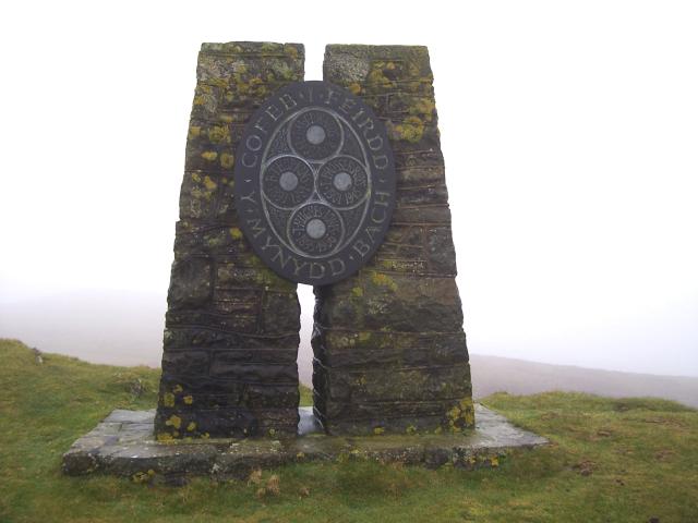
Mynydd Bach
Mynydd Bach (literally “Small Mountain” in Welsh) is located in the midlands of Ceredigion. It is a range of low hills, rather than a single mountain as...
Lledrod
Lledrod is a village and community in Ceredigion, Wales. The village is situated on the A485 road from Llanilar to Tregaron, where it crosses the valley...
Tyncelyn
Tyncelyn is a hamlet in the community of Lledrod, Ceredigion, Wales, which is 63.7 miles (102.5 km) from Cardiff and 172.6 miles (277.7 km) from London...
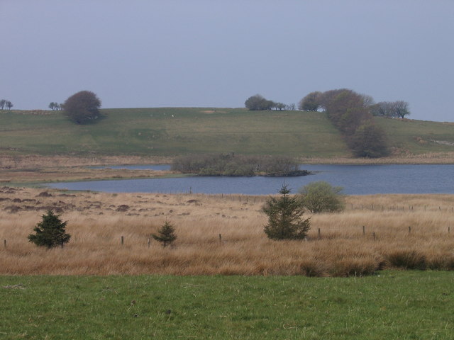
Llyn Eiddwen
Llyn Eiddwen () is a lake and site of special scientific interest near Trefenter in Ceredigion, Wales. It is the source of the River Aeron. This natural...
Ceredigion
Ceredigion (UK: KERR-ə-DIG-ee-ən, US: -ee-on, Welsh: [kɛrɛˈdɪɡjɔn] ), historically Cardiganshire, is a county in the west of Wales. It borders Gwynedd...
Rhyd-lwyd
Rhyd-lwyd is a small village in the community of Lledrod, Ceredigion, Wales, which is 67.4 miles (108.5 km) from Cardiff and 173.8 miles (279.6 km) from...
Nearby Amenities
Located within 500m of 52.284765,-3.991443Have you been to Bronant?
Leave your review of Bronant below (or comments, questions and feedback).