Heaton

Civil Parish in Staffordshire Staffordshire Moorlands

England

Heaton

Footpath NW of The Haddon
Footpath NW of The Haddon Credit: Philip Cornwall

Heaton is a civil parish located in the county of Staffordshire, England. It is situated roughly 4 miles east of the town of Newcastle-under-Lyme and 7 miles west of the city of Stoke-on-Trent. The area covers a total land area of approximately 3 square miles.

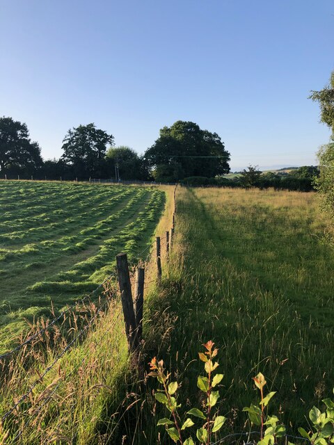
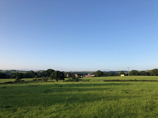
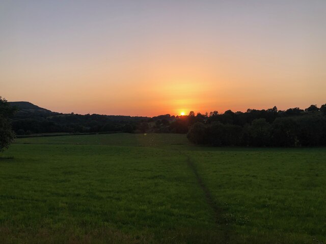
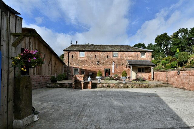
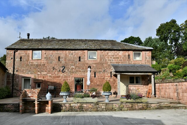
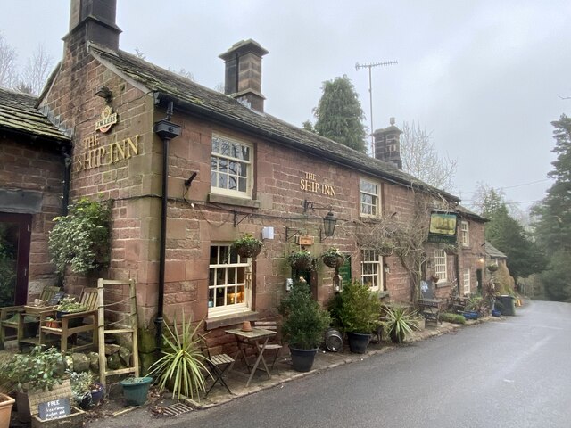
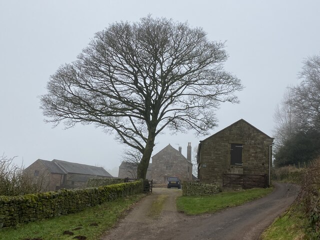
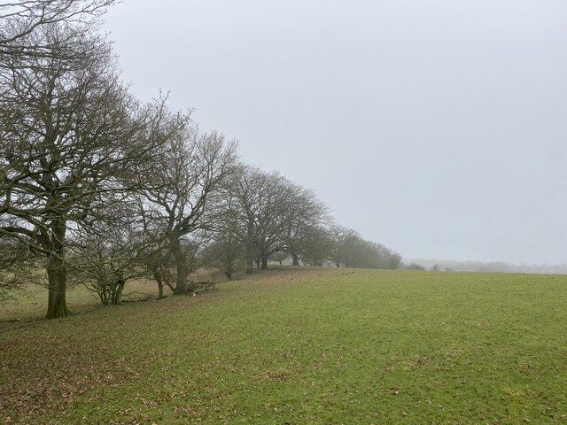
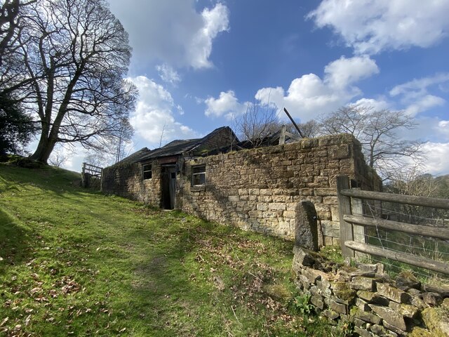
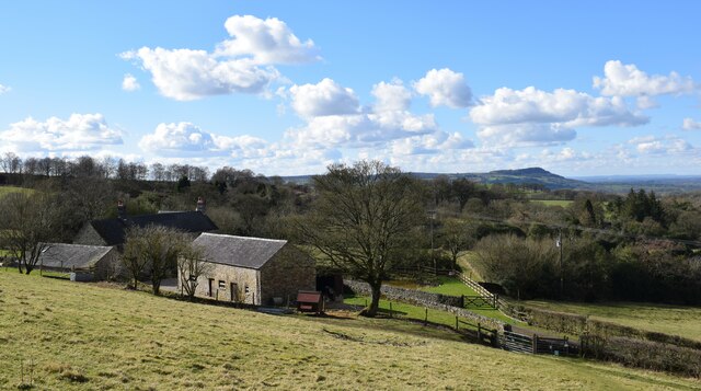
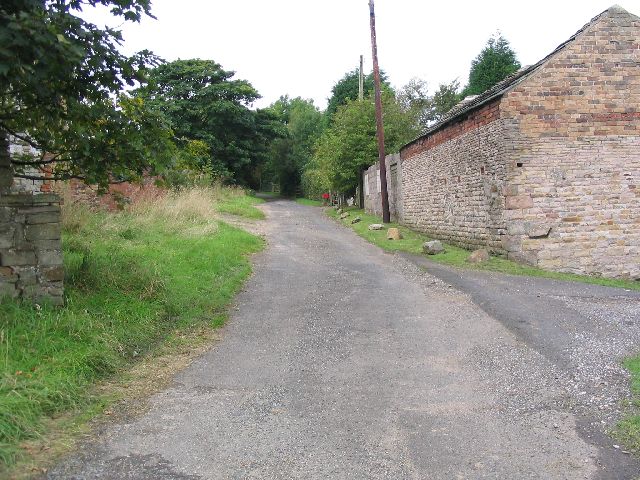
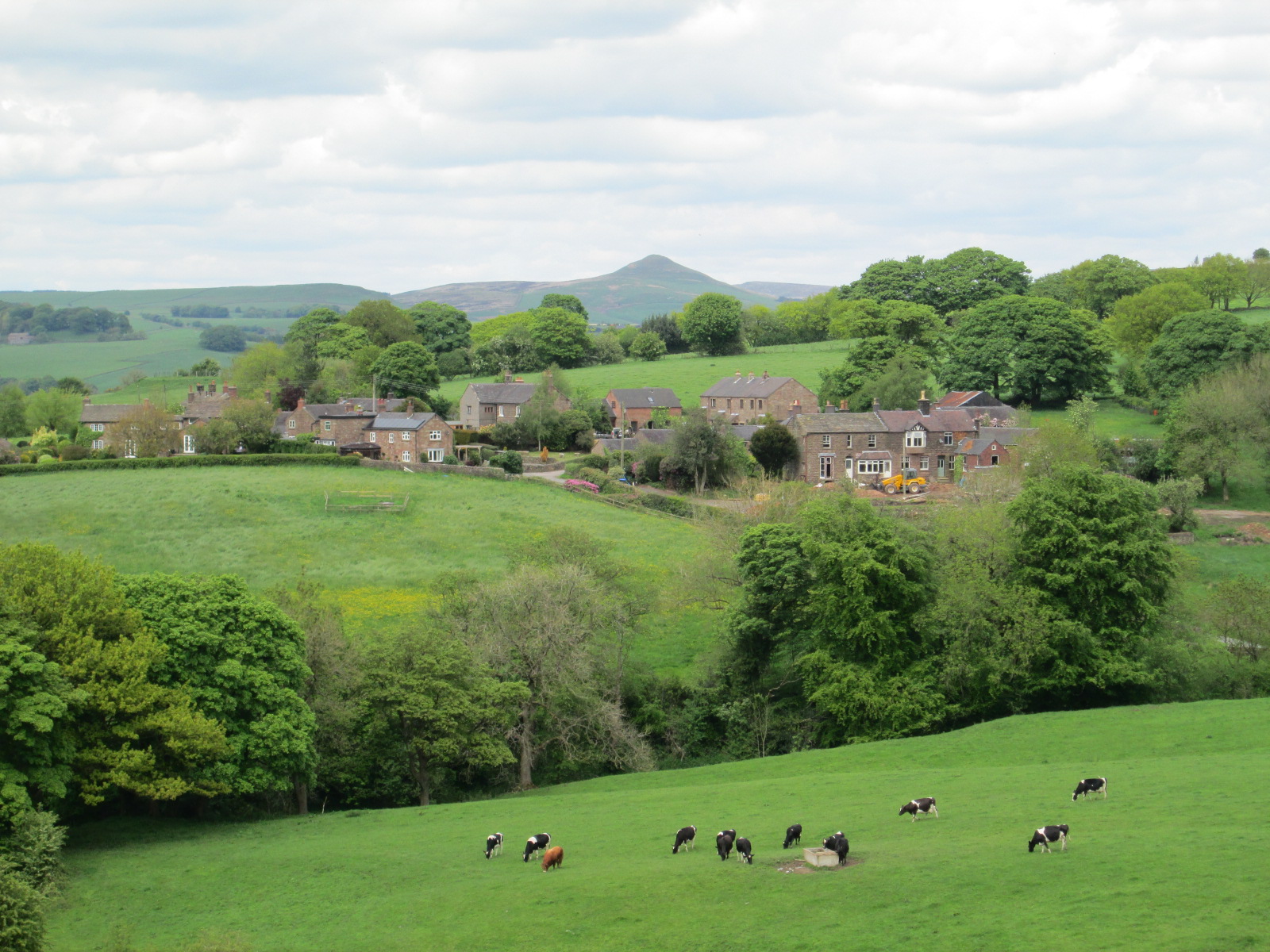
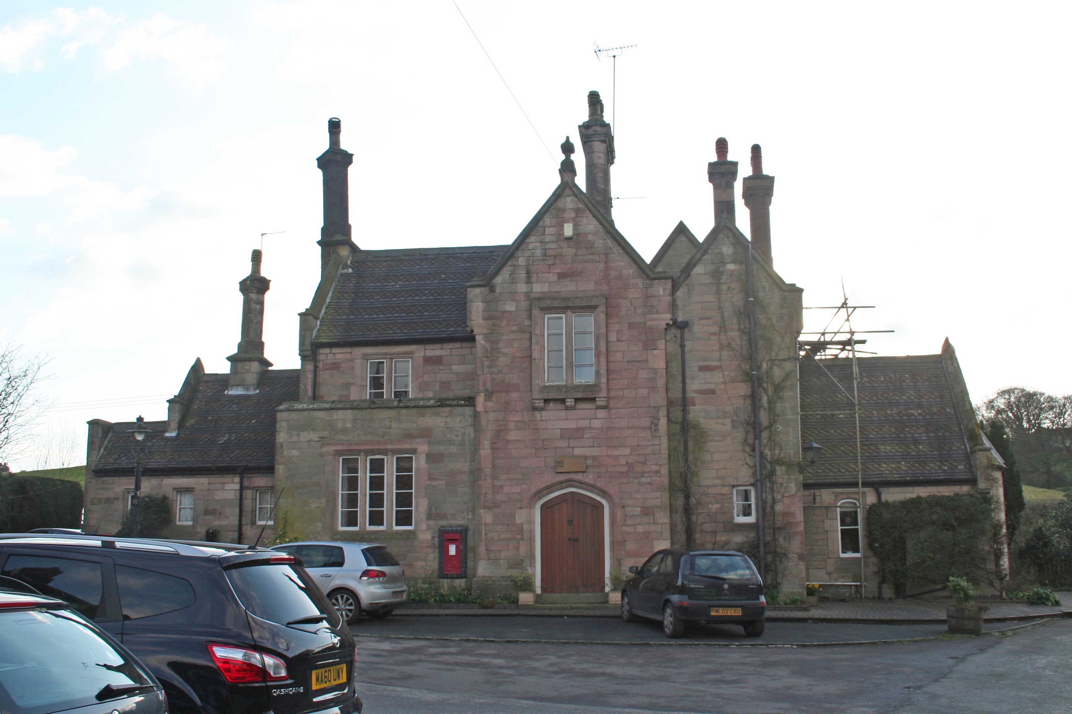
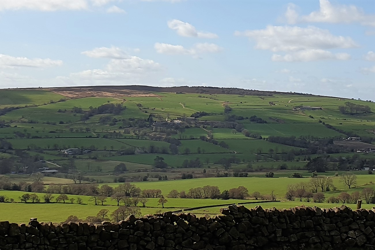
Heaton is a predominantly rural parish with a population of around 1,500 residents. The landscape is characterized by rolling hills, open fields, and small woodlands, providing a picturesque setting for the community. The village itself is small, consisting of a few residential streets, a village hall, and a local pub.

The parish is well-served by transportation links, with the A53 road running through the area, providing easy access to nearby towns and cities. Additionally, there are several bus routes that connect Heaton to neighboring communities.

Heaton boasts a strong sense of community, with various local groups and organizations offering opportunities for residents to come together and participate in activities such as gardening clubs, sports teams, and social events. The village hall serves as a hub for community gatherings and hosts regular events and meetings.

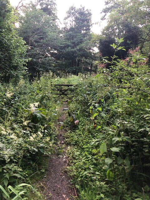
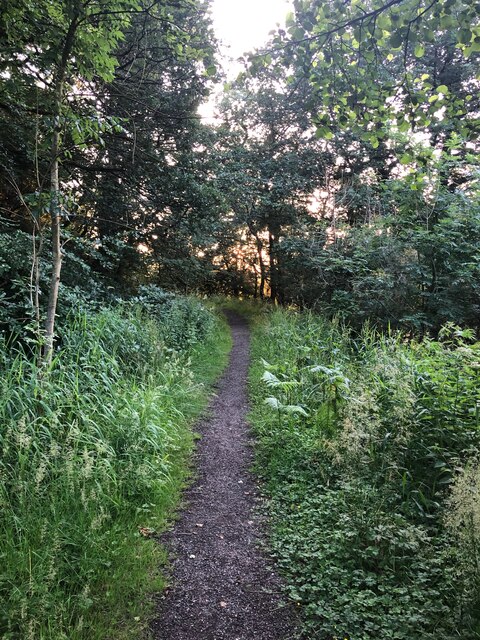
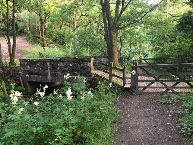
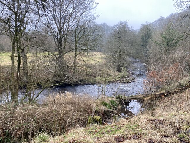
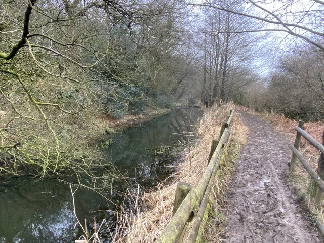
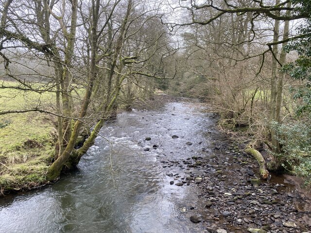
The parish is also rich in natural beauty, with several walking paths and nature trails that allow residents and visitors to explore the stunning countryside. The nearby Peak District National Park offers further opportunities for outdoor activities such as hiking, cycling, and wildlife spotting.

Overall, Heaton is a charming and peaceful civil parish, offering a rural lifestyle within close proximity to urban amenities.

If you have any feedback on the listing, please let us know in the comments section below.

Heaton Images

Images are sourced within 2km of 53.173172/-2.07296 or Grid Reference SJ9564. Thanks to Geograph Open Source API. All images are credited.

Footpath NW of The Haddon
Footpath heading to Moss Manor Moss Manor is the farm located in the centre of the picture. The footpath is barely visible.
Footpath heading to Moss Manor
Moss Manor is the farm located in the centre of the picture. The footpath is barely visible.
Gate on Dane Valley Way Taken during the COVID pandemic, the path in this area is seriously overgrown. Staffordshire Council, please note.
Gate on Dane Valley Way
Taken during the COVID pandemic, the path in this area is seriously overgrown. Staffordshire Council, please note.
Dane Valley Way The Dane Valley Way is a long-distance footpath through Derbyshire, Staffordshire and Cheshire, England. It runs from the Pavilion Gardens in Buxton to the end of the River Dane, where it enters the River Weaver in Northwich. (Source Wikipedia <span class="nowrap"><a title="https://en.wikipedia.org/wiki/Dane_Valley_Way" rel="nofollow ugc noopener" href="https://en.wikipedia.org/wiki/Dane_Valley_Way">Link</a><img style="margin-left:2px;" alt="External link" title="External link - shift click to open in new window" src="https://s1.geograph.org.uk/img/external.png" width="10" height="10"/></span>
Dane Valley Way
The Dane Valley Way is a long-distance footpath through Derbyshire, Staffordshire and Cheshire, England. It runs from the Pavilion Gardens in Buxton to the end of the River Dane, where it enters the River Weaver in Northwich. (Source Wikipedia LinkExternal link
Dane Valley Way and bridge over Conduit The Dane Valley Way is a long-distance footpath through Derbyshire, Staffordshire and Cheshire, England. It runs from the Pavilion Gardens in Buxton to the end of the River Dane, where it enters the River Weaver in Northwich. (Source Wikipedia <span class="nowrap"><a title="https://en.wikipedia.org/wiki/Dane_Valley_Way" rel="nofollow ugc noopener" href="https://en.wikipedia.org/wiki/Dane_Valley_Way">Link</a><img style="margin-left:2px;" alt="External link" title="External link - shift click to open in new window" src="https://s1.geograph.org.uk/img/external.png" width="10" height="10"/></span>
Dane Valley Way and bridge over Conduit
The Dane Valley Way is a long-distance footpath through Derbyshire, Staffordshire and Cheshire, England. It runs from the Pavilion Gardens in Buxton to the end of the River Dane, where it enters the River Weaver in Northwich. (Source Wikipedia LinkExternal link
Dane Valley Way Silhouette of The Cloud visible to the left in picture,
Dane Valley Way
Silhouette of The Cloud visible to the left in picture,
Wincle: 'Otters Retreat'
The Ship Inn, Wincle
The River Dane in winter
Wincle Grange in winter
Derelict farm buildings By the Gritstone Trail.
Derelict farm buildings
By the Gritstone Trail.
Muddy Gritstone Trail Following the route of the conduit taking water from the River Dane to Rudyard reservoir.
Muddy Gritstone Trail
Following the route of the conduit taking water from the River Dane to Rudyard reservoir.
River Dane Upstream from Barleigh Ford Bridge.
River Dane
Upstream from Barleigh Ford Bridge.
Row of trees marking field edge
Farm buildings in disrepair
Cliff Hollins farm. Walking up to Gun.
Cliff Hollins farm.
Walking up to Gun.
Hawkslee These farm buildings are located on the gritstone trail. The picture was taken from sj9389765253 looking north.
Hawkslee
These farm buildings are located on the gritstone trail. The picture was taken from sj9389765253 looking north.
Show me another place!

Heaton is located at Grid Ref: SJ9564 (Lat: 53.173172, Lng: -2.07296)

Administrative County: Staffordshire

District: Staffordshire Moorlands

Police Authority: Staffordshire

What 3 Words

///essay.pushes.rewrites. Near Leek, Staffordshire

Related Wikis

Heaton, Staffordshire

Heaton is a small village and civil parish in Staffordshire, England. It is about 4 miles (6.4 km) north of Leek and about 7 miles (11 km) south of Macclesfield...

Rushton, Staffordshire

Rushton is a civil parish in Staffordshire, England. The village within the civil parish, usually known as Rushton Spencer, is about 4 miles (6.4 km) north...

Wincle

Wincle is a village and civil parish in the Cheshire East district of Cheshire, England. It holds parish meetings, rather than parish council meetings...

Swythamley Hall

Swythamley Hall is a late 18th-century country house near Leek, Staffordshire which has been converted into four separate residences. It is a Grade II...

St Michael's Church, Wincle

St Michael's Church is in the village of Wincle, Cheshire, England. It is an active Anglican parish church in the diocese of Chester, the archdeaconry...

Rushton railway station

Rushton Spencer railway station was a railway station that served the village of Rushton Spencer, Staffordshire. The station was opened by the North Staffordshire...

Bosley Minn

Bosley Minn is one of two names – the other being Wincle Minn – given to a prominent hill in southeast Cheshire and in the southwestern corner of the Peak...

Gun (Staffordshire)

Gun is a hill at the southern end of the Peak District, overlooking the town of Leek in the Staffordshire Moorlands. The hill is mainly moorland with some...

Related Videos

Wincle Walk

A pleasant stroll down the River Dane through the village of Wincle, a remote hamlet which straddles the border of Cheshire ...

Walk #1 Wincle to Gradbach via Lud's Church and Hanging Stone.

Wildside Walks: Walking in and around the peak District My first walking vlog. Wincle to Gradbach via Lud's Church. Thank you for ...

Wincle, Cheshire - 4 Mile Pub Walk includes Wincle Brewery & The Ship Inn

Today on Run Adventurer, we're in Wincle which lies right on the border between Cheshire and Staffordshire south of ...

Nearby Amenities

Located within 500m of 53.173172,-2.07296
Waterway: weir
Lat/Long: 53.1750996/-2.0670589
Barrier: stile
Material: wood
Source: survey;gps
Stile: stepover
Lat/Long: 53.1736356/-2.0659276
Barrier: stile
Ele: 182.0539551
Material: stone
Source: survey;gps
Steps: 0
Stile: stepover
Lat/Long: 53.1759414/-2.0672643
Ele: 205.3658447
Lat/Long: 53.1767316/-2.0690066
Barrier: stile
Ele: 209.9320068
Material: wood
Source: survey;gps
Steps: 2
Stile: stepover
Lat/Long: 53.1768742/-2.0693239
Ele: 210.1723633
Lat/Long: 53.1769231/-2.0693351
Ele: 205.3658447
Lat/Long: 53.1766995/-2.0689002
Man Made: dovecote
Lat/Long: 53.1766569/-2.0686019
Barrier: stile
Material: wood
Source: survey;bing
Stile: stepover
Lat/Long: 53.1748307/-2.0671314
Barrier: stile
Material: wood
Source: survey;gps
Stile: stepover
Lat/Long: 53.1714344/-2.0664536
Barrier: stile
Material: wood
Source: survey;gps
Stile: stepover
Lat/Long: 53.169875/-2.0713937
The data included in this document is from www.openstreetmap.org. The data is made available under ODbL.

Have you been to Heaton?

Leave your review of Heaton below (or comments, questions and feedback).