Whitelee Wood
Wood, Forest in Cheshire
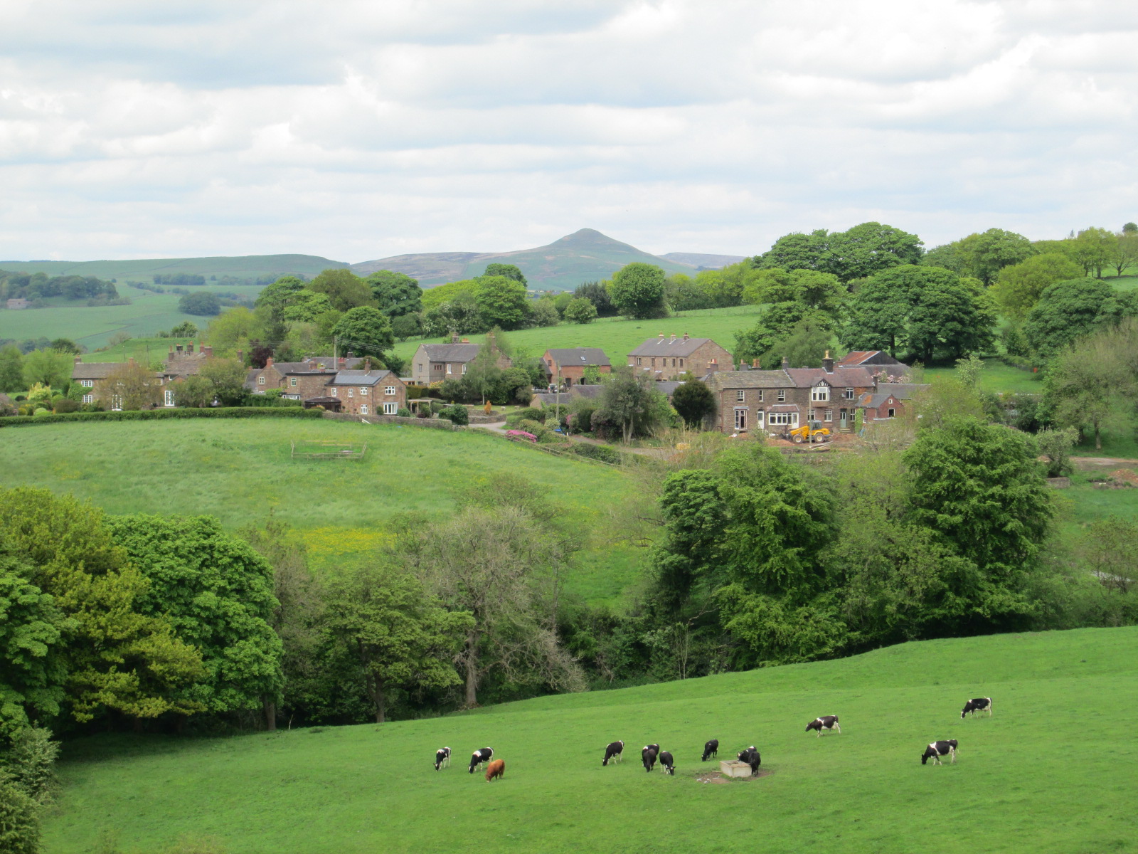
England
Whitelee Wood
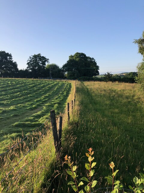
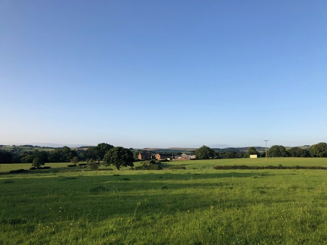
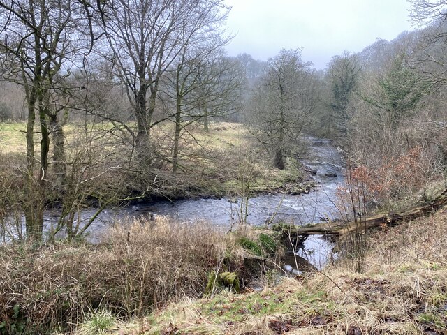
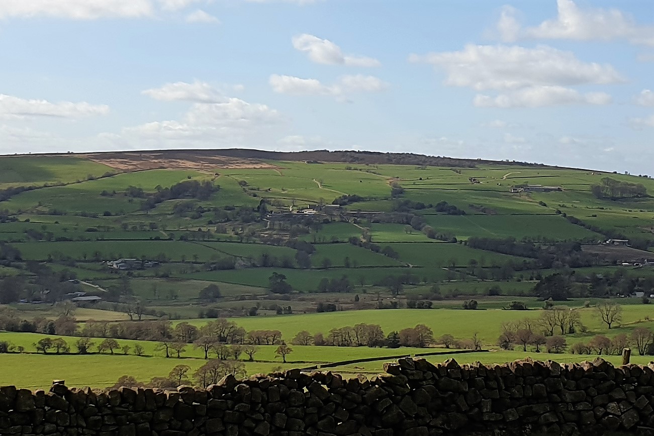
Whitelee Wood is a picturesque woodland located in the county of Cheshire, England. Spanning over an area of approximately 500 acres, this enchanting forest is a haven for nature enthusiasts and outdoor lovers alike. It is situated near the village of Whitegate and is easily accessible by road.
The wood is predominantly composed of native broadleaf trees, such as oak, beech, and birch, creating a diverse and vibrant ecosystem. The woodland floor is adorned with a stunning display of wildflowers during the spring and summer months, attracting a variety of butterflies, bees, and other pollinators.
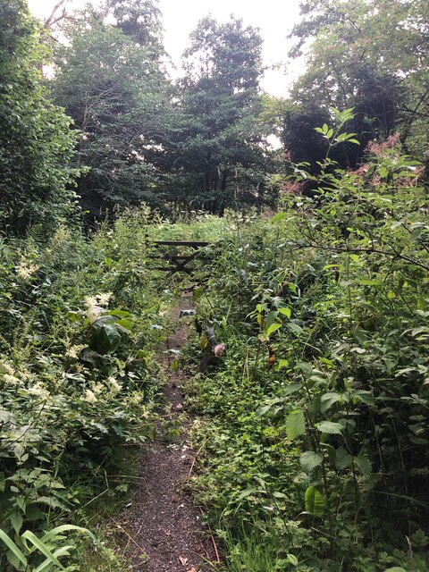
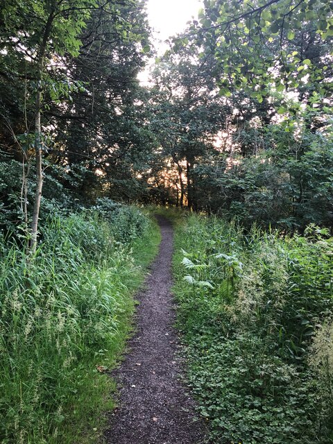
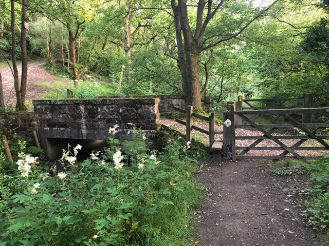
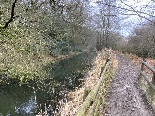
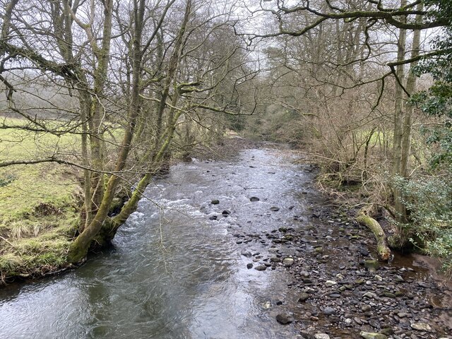
Whitelee Wood boasts a network of well-maintained footpaths and trails, providing visitors with the opportunity to explore and immerse themselves in its natural beauty. The pathways meander through the woods, leading to hidden glades, peaceful ponds, and babbling brooks. The tranquil atmosphere makes it an ideal location for hiking, walking, and birdwatching.
The forest is also home to a rich array of wildlife. Bird species such as woodpeckers, owls, and various songbirds can be spotted throughout the year. Squirrels, rabbits, and other small mammals are also commonly sighted, adding to the charm of the woodland.
Whitelee Wood offers a peaceful retreat away from the hustle and bustle of everyday life. Its natural beauty, diverse flora and fauna, and well-maintained trails make it a popular destination for nature lovers, families, and those seeking solace in the great outdoors.
If you have any feedback on the listing, please let us know in the comments section below.
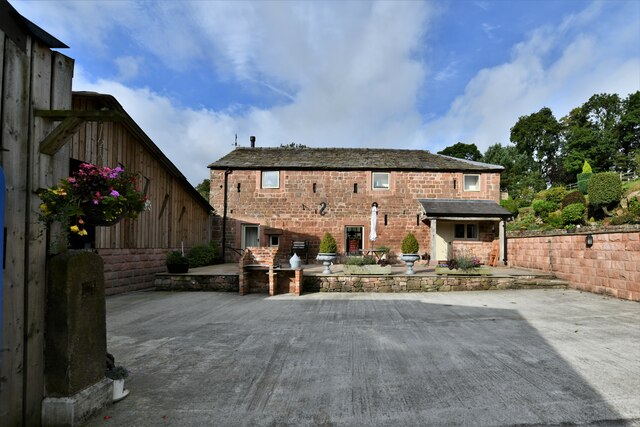
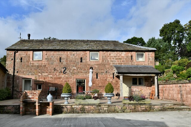
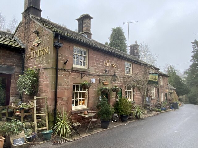
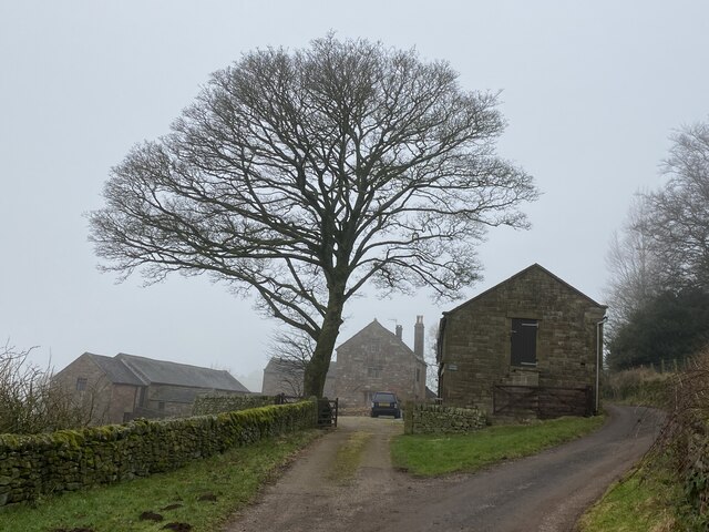
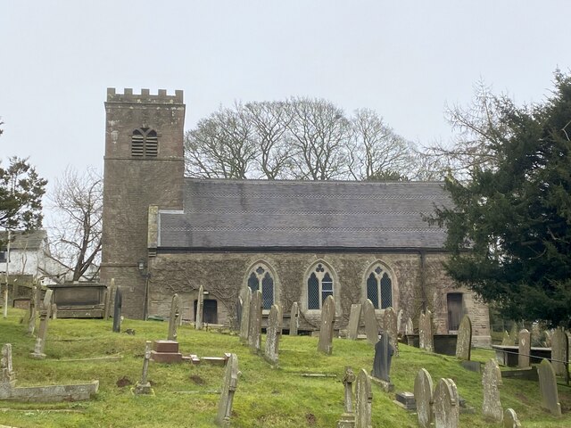
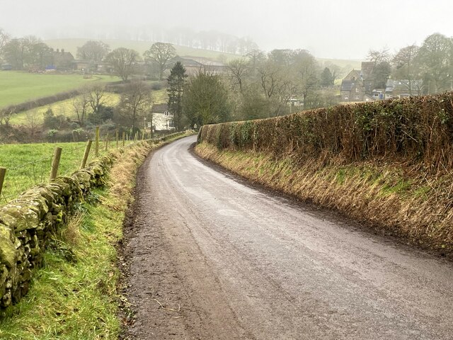
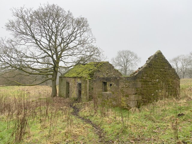
Whitelee Wood Images
Images are sourced within 2km of 53.174959/-2.0695431 or Grid Reference SJ9564. Thanks to Geograph Open Source API. All images are credited.
Whitelee Wood is located at Grid Ref: SJ9564 (Lat: 53.174959, Lng: -2.0695431)
Unitary Authority: Cheshire East
Police Authority: Cheshire
What 3 Words
///crusaders.sprains.couches. Near Leek, Staffordshire
Nearby Locations
Related Wikis
Heaton, Staffordshire
Heaton is a small village and civil parish in Staffordshire, England. It is about 4 miles (6.4 km) north of Leek and about 7 miles (11 km) south of Macclesfield...

Wincle
Wincle is a village and civil parish in the Cheshire East district of Cheshire, England. It holds parish meetings, rather than parish council meetings...

Swythamley Hall
Swythamley Hall is a late 18th-century country house near Leek, Staffordshire which has been converted into four separate residences. It is a Grade II...
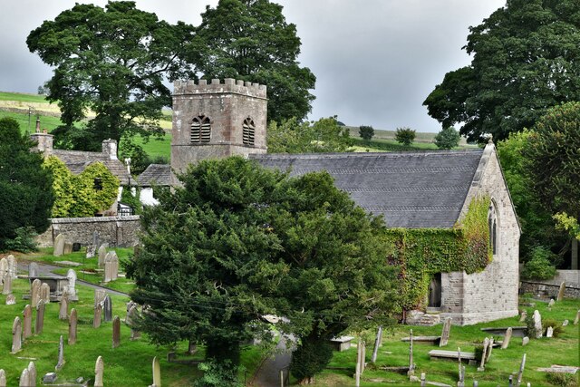
St Michael's Church, Wincle
St Michael's Church is in the village of Wincle, Cheshire, England. It is an active Anglican parish church in the diocese of Chester, the archdeaconry...

Rushton, Staffordshire
Rushton is a civil parish in Staffordshire, England. The village within the civil parish, usually known as Rushton Spencer, is about 4 miles (6.4 km) north...
Rushton railway station
Rushton Spencer railway station was a railway station that served the village of Rushton Spencer, Staffordshire. The station was opened by the North Staffordshire...

Bosley Minn
Bosley Minn is one of two names – the other being Wincle Minn – given to a prominent hill in southeast Cheshire and in the southwestern corner of the Peak...
Gun (Staffordshire)
Gun is a hill at the southern end of the Peak District, overlooking the town of Leek in the Staffordshire Moorlands. The hill is mainly moorland with some...
Nearby Amenities
Located within 500m of 53.174959,-2.0695431Have you been to Whitelee Wood?
Leave your review of Whitelee Wood below (or comments, questions and feedback).