Bromstead Heath

Settlement in Staffordshire Stafford

England

Bromstead Heath

Wood and cereal field
Wood and cereal field Credit: P Gaskell

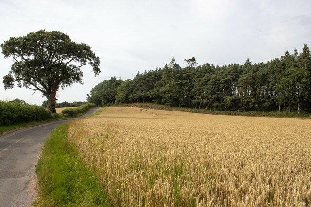
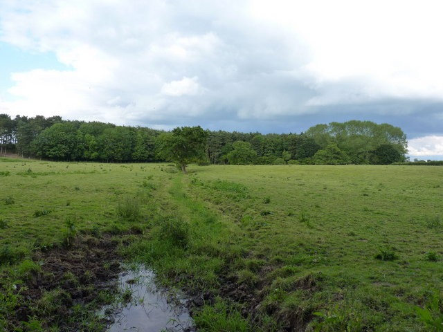
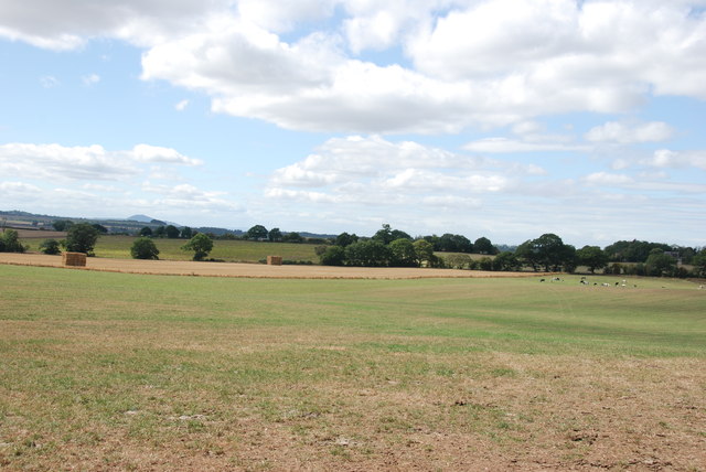
Bromstead Heath is a picturesque area located in Staffordshire, England. It is situated approximately 6 miles north of the town of Stafford and covers an extensive area of heathland and woodland. The heath is known for its natural beauty and is a popular destination for outdoor enthusiasts and nature lovers.

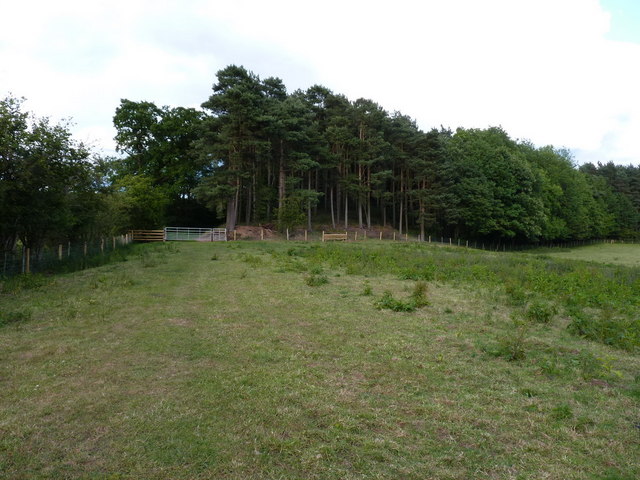
The landscape of Bromstead Heath is characterized by rolling hills, open grasslands, and dense forests, creating a diverse habitat for a wide range of flora and fauna. The heathland itself is covered in heather and gorse, which provide a vibrant display of colors during the summer months. The woodlands consist mainly of oak and birch trees, offering a tranquil and peaceful environment for visitors to explore.

The area is well-equipped for recreational activities, with a network of walking trails and cycling paths that crisscross the heath. These trails provide opportunities to discover hidden ponds, ancient burial mounds, and stunning viewpoints across the Staffordshire countryside.

Bromstead Heath is also home to a variety of wildlife, including deer, rabbits, and a multitude of bird species. Ornithologists flock to the area to observe rare and migratory birds that inhabit the heath throughout the year.

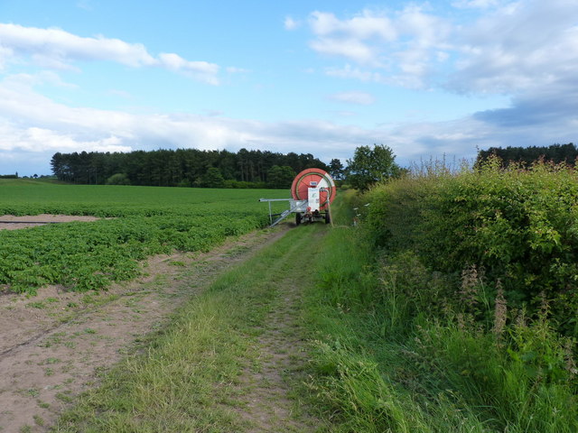
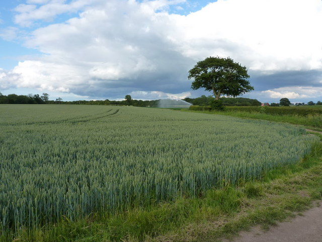
In addition to its natural beauty, Bromstead Heath has historical significance. It is believed that the heath was once used as a grazing area for livestock and played a role in the local agricultural economy. Today, remnants of old farm buildings and ancient field boundaries can still be seen, offering glimpses into the area's past.

Overall, Bromstead Heath is a captivating destination that combines natural splendor, recreational opportunities, and a touch of history, making it a must-visit location for both locals and tourists alike.

If you have any feedback on the listing, please let us know in the comments section below.

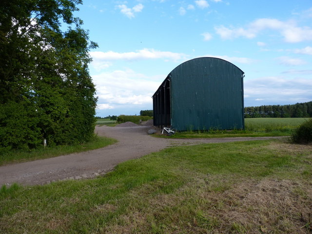
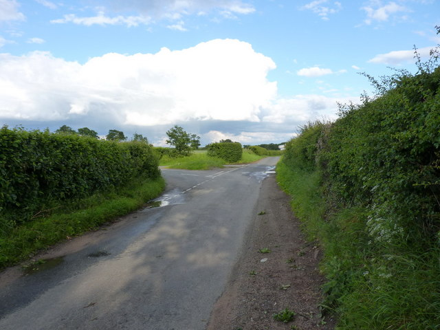
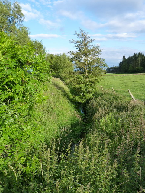
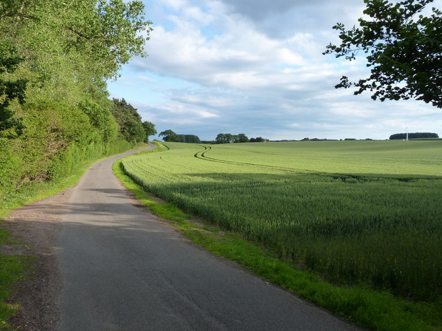
Bromstead Heath Images

Images are sourced within 2km of 52.753819/-2.296299 or Grid Reference SJ8017. Thanks to Geograph Open Source API. All images are credited.

Wood and cereal field
Moreton road works
Moreton road works
Moreton Hall Farm Converted vernacular farm buildings at Moreton Hall Farm
Moreton Hall Farm
Converted vernacular farm buildings at Moreton Hall Farm
Tinwood Bank Woodland at Tinwood Bank
Tinwood Bank
Woodland at Tinwood Bank
Access road for Hilltop House Hilltop House is at the top of the drive, partly concealed by trees; it's not quite at the top of the hill - there's higher ground just beyond at the summit which has a trig point.
The road is also the route of a public footpath which bypasses the house on its left side.
Access road for Hilltop House
Hilltop House is at the top of the drive, partly concealed by trees; it's not quite at the top of the hill - there's higher ground just beyond at the summit which has a trig point. The road is also the route of a public footpath which bypasses the house on its left side.
The Orslow Brook at Coneygreaves Little more than a boggy ditch at this point, especially in near-drought conditions, it eventually runs into the Back Brook.
The Orslow Brook at Coneygreaves
Little more than a boggy ditch at this point, especially in near-drought conditions, it eventually runs into the Back Brook.
Bridleway at Coneygreaves Looking along the bridleway from Great Chatwell to Bromstead, towards the point where another splits off towards Moreton at the gate 100 yards away.
Bridleway at Coneygreaves
Looking along the bridleway from Great Chatwell to Bromstead, towards the point where another splits off towards Moreton at the gate 100 yards away.
A good attempt to block the bridleway A raingun was watering the potatoes just off shot to the left here; its hose reel had been left right across the bridleway, although a bike (or horse) could just about squeeze through against the hedge.
A good attempt to block the bridleway
A raingun was watering the potatoes just off shot to the left here; its hose reel had been left right across the bridleway, although a bike (or horse) could just about squeeze through against the hedge.
Mixed crops at Moreton Wheat in the foreground, potatoes under the raingun in the distance.
Mixed crops at Moreton
Wheat in the foreground, potatoes under the raingun in the distance.
Dutch barn at Sand Bank A large, isolated barn at the corner of Chapman's Wood.
Dutch barn at Sand Bank
A large, isolated barn at the corner of Chapman's Wood.
Lane junction near Moreton
The Moreton Brook Well overgrown after several weeks with very little rain; compare this with its normal may-time condition in <a href="https://www.geograph.org.uk/photo/421802">SJ7816 : Back Brook</a>
The Moreton Brook
Well overgrown after several weeks with very little rain; compare this with its normal may-time condition in SJ7816 : Back Brook
Along the lane to Lynn farm
Tracks on a field of barley
Bridge carrying the 'Way of the Millennium'
Road Junction, Gnosall Road The road on the left leading off Gnosall road goes to Bromstead Common and Bromstead Heath.
Road Junction, Gnosall Road
The road on the left leading off Gnosall road goes to Bromstead Common and Bromstead Heath.
Manor Farm, near Gnosall This farm is on a junction of three roads, to Newport, Gnosall and Moreton.
Manor Farm, near Gnosall
This farm is on a junction of three roads, to Newport, Gnosall and Moreton.
Looking over farmland to the Wrekin
Show me another place!

Bromstead Heath is located at Grid Ref: SJ8017 (Lat: 52.753819, Lng: -2.296299)

Administrative County: Staffordshire

District: Stafford

Police Authority: Staffordshire

What 3 Words

///prude.bookmark.scribble. Near Woodcote, Shropshire

Nearby Locations

Bromstead Heath

Related Wikis

Moreton, Staffordshire

Moreton is a small rural village in the borough of Stafford in Staffordshire, England, near the border with Shropshire. It lies 3.5 miles (5.6 km) south...

Beffcote

Beffcote is a village in Staffordshire, England. For the population taken at the United Kingdom Census 2011 see Gnosall.

Outwoods, Stafford

Outwoods is a hamlet in the English county of Staffordshire. Outwoods is located in the extreme west of the county near to the town of Newport, Shropshire...

Orslow

Orslow is an upland hamlet in Staffordshire, England, 0.75 miles (1.21 km) north-east of Great Chatwell. Its Anglo-Saxon name means 'Horsa's burial mound...

High Onn

High Onn is a hamlet near the village of Wheaton Aston, in the English county of Staffordshire. == See also == Listed buildings in Church Eaton == References... ==

Coton, Staffordshire

Coton is a hamlet in the English county of Staffordshire.It lies on the A518 road some two miles west of Gnosall. == See also == Listed buildings in Gnosall...

Great Chatwell

Great Chatwell is a small village within the civil parish of Blymhill and Weston-under-Lizard, in the South Staffordshire district of Staffordshire, England...

Back Brook, English Midlands

The Back Brook is a minor watercourse in the English counties of Shropshire and Staffordshire, in places forming the boundary between the two, and located...

Nearby Amenities

Located within 500m of 52.753819,-2.296299
Bus Stop
Cross Lane
Bus: yes
Naptan AtcoCode: 3800C708401
Naptan Bearing: N
Naptan BusStopType: CUS
Naptan CommonName: Cross Lane
Naptan Indicator: Adj
Naptan Landmark: Cross Lane
Naptan Street: Heath Road
Naptan Verified: no
Public Transport: platform
Source: naptan_import
Lat/Long: 52.7542149/-2.2949584
Bus Stop
Cross Lane
Bus: yes
Naptan AtcoCode: 3800C708402
Naptan Bearing: S
Naptan BusStopType: CUS
Naptan CommonName: Cross Lane
Naptan Indicator: Opp
Naptan Landmark: Cross Lane
Naptan Street: Heath Road
Naptan Verified: no
Public Transport: platform
Source: naptan_import
Lat/Long: 52.7540894/-2.2948094
Turning Loop
Lat/Long: 52.7561075/-2.2995725
Generator Method: photovoltaic
Generator Output Electricity: yes
Generator Source: solar
Generator Type: solar_photovoltaic_panel
Location: roof
Power: generator
Lat/Long: 52.7502204/-2.2956812
Generator Method: photovoltaic
Generator Output Electricity: yes
Generator Source: solar
Generator Type: solar_photovoltaic_panel
Location: roof
Power: generator
Lat/Long: 52.7495645/-2.2949168
Generator Method: photovoltaic
Generator Output Electricity: yes
Generator Source: solar
Generator Type: solar_photovoltaic_panel
Location: roof
Power: generator
Lat/Long: 52.749597/-2.2953969
Generator Method: photovoltaic
Generator Output Electricity: yes
Generator Source: solar
Generator Type: solar_photovoltaic_panel
Location: roof
Power: generator
Lat/Long: 52.7496408/-2.2960272
Generator Method: photovoltaic
Generator Output Electricity: yes
Generator Source: solar
Generator Type: solar_photovoltaic_panel
Location: roof
Power: generator
Lat/Long: 52.7494086/-2.2963813
Generator Method: photovoltaic
Generator Output Electricity: yes
Generator Source: solar
Generator Type: solar_photovoltaic_panel
Location: roof
Power: generator
Lat/Long: 52.7518358/-2.3024619
Generator Method: photovoltaic
Generator Output Electricity: yes
Generator Source: solar
Generator Type: solar_photovoltaic_panel
Location: roof
Power: generator
Lat/Long: 52.7518845/-2.3025396
Generator Method: photovoltaic
Generator Output Electricity: yes
Generator Source: solar
Generator Type: solar_photovoltaic_panel
Location: roof
Power: generator
Lat/Long: 52.7533358/-2.3010725
Generator Method: photovoltaic
Generator Output Electricity: yes
Generator Source: solar
Generator Type: solar_photovoltaic_panel
Location: roof
Power: generator
Lat/Long: 52.7562043/-2.2995275
Defibrillator
Defibrillator Location: On outside wall of Moreton Millennium Community Centre, to the right of the main entrance.
Emergency: defibrillator
Ref GB The Circuit: C54BF0D9-D156-4406-BF53-6BC113F4C404
Lat/Long: 52.7533108/-2.301051
The data included in this document is from www.openstreetmap.org. The data is made available under ODbL.

Have you been to Bromstead Heath?

Leave your review of Bromstead Heath below (or comments, questions and feedback).