Bromstead Common

Settlement in Staffordshire Stafford

England

Bromstead Common

Moreton road works
Moreton road works Credit: P Gaskell

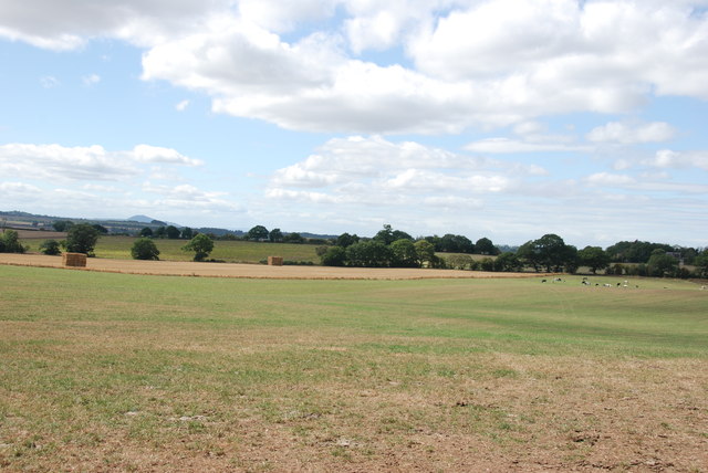
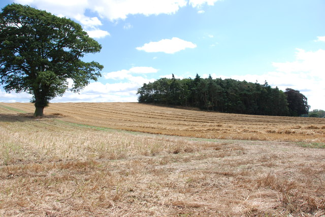
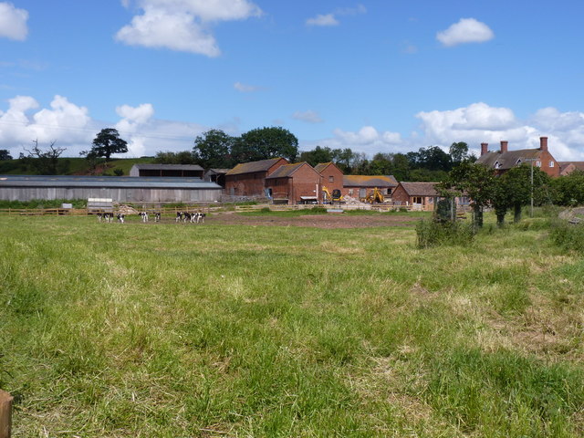
Bromstead Common is a small village located in the county of Staffordshire, England. Situated approximately 7 miles northwest of the town of Stafford, it is a rural area surrounded by picturesque countryside and rolling hills. The village is part of the civil parish of Seighford and lies within the Stafford Borough Council area.

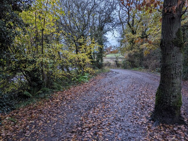
Bromstead Common is known for its tranquil atmosphere and idyllic scenery, making it a popular destination for those seeking a peaceful retreat away from the hustle and bustle of city life. The village is characterized by its charming cottages and traditional architecture, which give it a quaint and timeless feel.

The village is home to a close-knit community, with a population of around 300 people. The residents of Bromstead Common enjoy a range of amenities, including a local pub, village hall, and a primary school. Despite its small size, the village has a rich history, with evidence of human settlement dating back to the Roman era.

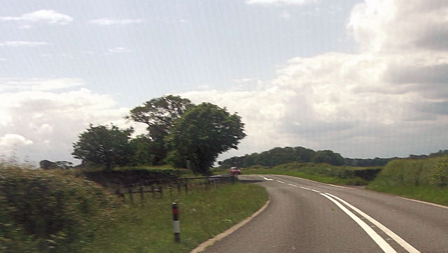
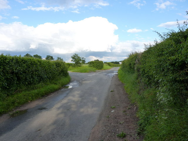
Nature enthusiasts will appreciate the abundance of outdoor activities available in the area. There are several walking and cycling trails that crisscross the surrounding countryside, offering breathtaking views and opportunities to spot wildlife. The nearby Cannock Chase, an Area of Outstanding Natural Beauty, provides further options for outdoor exploration.

Overall, Bromstead Common is a charming village that offers a peaceful and picturesque setting, making it an attractive place to live or visit for those seeking a slice of rural English life.

If you have any feedback on the listing, please let us know in the comments section below.

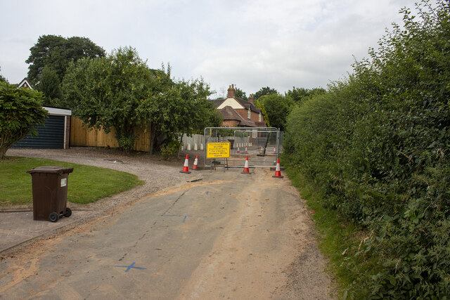
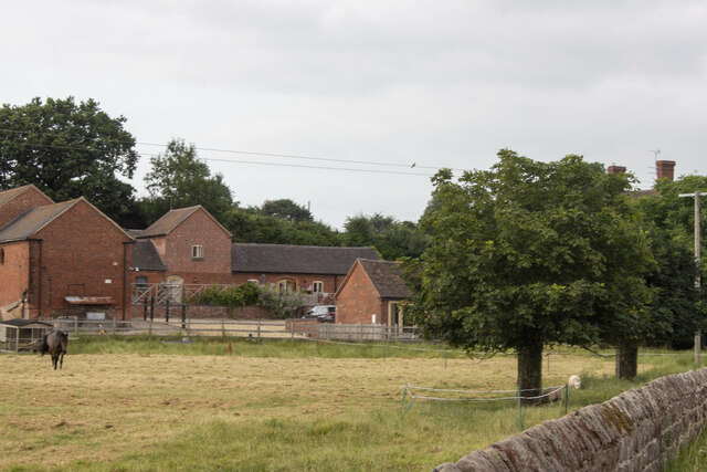
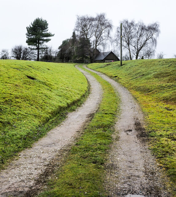
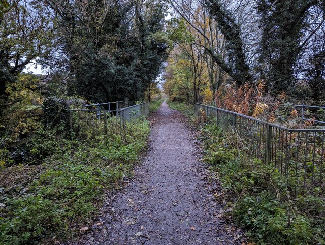
Bromstead Common Images

Images are sourced within 2km of 52.761505/-2.296292 or Grid Reference SJ8018. Thanks to Geograph Open Source API. All images are credited.

Moreton road works
Moreton road works
Moreton Hall Farm Converted vernacular farm buildings at Moreton Hall Farm
Moreton Hall Farm
Converted vernacular farm buildings at Moreton Hall Farm
Tinwood Bank Woodland at Tinwood Bank
Tinwood Bank
Woodland at Tinwood Bank
Access road for Hilltop House Hilltop House is at the top of the drive, partly concealed by trees; it's not quite at the top of the hill - there's higher ground just beyond at the summit which has a trig point.
The road is also the route of a public footpath which bypasses the house on its left side.
Access road for Hilltop House
Hilltop House is at the top of the drive, partly concealed by trees; it's not quite at the top of the hill - there's higher ground just beyond at the summit which has a trig point. The road is also the route of a public footpath which bypasses the house on its left side.
Staffordshire Greenway Old abandoned railway, now a cycleway
Staffordshire Greenway
Old abandoned railway, now a cycleway
Newport to Stafford Greenway
Small car parking area adjacent to cycle path A small area for vehicle parking (free) just off Cycle Route 55.
Small car parking area adjacent to cycle path
A small area for vehicle parking (free) just off Cycle Route 55.
Pollymoor Farm junction from A518
Swanpit Pool A small fishery run by Weston Under Lizard Angling Club, and stocked with a mixture of coarse fish. The ripples in the water at my feet are caused by the landing of a common carp, about 3lbs in weight, by an angler to whom I chatted briefly.
Swanpit Pool
A small fishery run by Weston Under Lizard Angling Club, and stocked with a mixture of coarse fish. The ripples in the water at my feet are caused by the landing of a common carp, about 3lbs in weight, by an angler to whom I chatted briefly.
Lane junction near Moreton
Tracks on a field of barley
Bridge carrying the 'Way of the Millennium'
Road Junction, Gnosall Road The road on the left leading off Gnosall road goes to Bromstead Common and Bromstead Heath.
Road Junction, Gnosall Road
The road on the left leading off Gnosall road goes to Bromstead Common and Bromstead Heath.
Manor Farm, near Gnosall This farm is on a junction of three roads, to Newport, Gnosall and Moreton.
Manor Farm, near Gnosall
This farm is on a junction of three roads, to Newport, Gnosall and Moreton.
Looking over farmland to the Wrekin
Harvest  is Home These fields near Moreton have been cleared of their crops, once the straw has been cleared, cultivations for next years crop can begin.
Harvest is Home
These fields near Moreton have been cleared of their crops, once the straw has been cleared, cultivations for next years crop can begin.
Cross roads at David's pit Covert From A518 west
Cross roads at David's pit Covert
From A518 west
Moreton Hall Farm A working farm, with young Friesians in this roadside field and loose chickens in the yard (much to Daft Dog's annoyance, he wasn't allowed close enough to investigate those); there is also a B&B business at the farmhouse.
Moreton Hall Farm
A working farm, with young Friesians in this roadside field and loose chickens in the yard (much to Daft Dog's annoyance, he wasn't allowed close enough to investigate those); there is also a B&B business at the farmhouse.
Show me another place!

Bromstead Common is located at Grid Ref: SJ8018 (Lat: 52.761505, Lng: -2.296292)

Administrative County: Staffordshire

District: Stafford

Police Authority: Staffordshire

What 3 Words

///tidal.reframe.juicy. Near Gnosall, Staffordshire

Nearby Locations

Bromstead Common

Related Wikis

Beffcote

Beffcote is a village in Staffordshire, England. For the population taken at the United Kingdom Census 2011 see Gnosall.

Moreton, Staffordshire

Moreton is a small rural village in the borough of Stafford in Staffordshire, England, near the border with Shropshire. It lies 3.5 miles (5.6 km) south...

Outwoods, Stafford

Outwoods is a hamlet in the English county of Staffordshire. Outwoods is located in the extreme west of the county near to the town of Newport, Shropshire...

Coton, Staffordshire

Coton is a hamlet in the English county of Staffordshire.It lies on the A518 road some two miles west of Gnosall. == See also == Listed buildings in Gnosall...

Back Brook, English Midlands

The Back Brook is a minor watercourse in the English counties of Shropshire and Staffordshire, in places forming the boundary between the two, and located...

Orslow

Orslow is an upland hamlet in Staffordshire, England, 0.75 miles (1.21 km) north-east of Great Chatwell. Its Anglo-Saxon name means 'Horsa's burial mound...

Aqualate Hall

Aqualate Hall, a 20th-century country house, is located in Forton, Staffordshire, England, some 2 miles (3.2 km) east of the market town of Newport, Shropshire...

High Onn

High Onn is a hamlet near the village of Wheaton Aston, in the English county of Staffordshire. == See also == Listed buildings in Church Eaton == References... ==

Nearby Amenities

Located within 500m of 52.761505,-2.296292
Bus Stop
Heath Road
Bus: yes
Naptan AtcoCode: 3800C717800
Naptan Bearing: SE
Naptan CommonName: Heath Road
Naptan Indicator: Opp
Naptan Landmark: Heath Rd
Naptan Street: Main Rd
Naptan Verified: no
Public Transport: platform
Source: naptan_import
Lat/Long: 52.7616637/-2.2964611
Barrier: stile
Lat/Long: 52.7618611/-2.2936474
Barrier: stile
Lat/Long: 52.7621822/-2.2925099
Bromstead Common
Place: hamlet
Lat/Long: 52.7614928/-2.2945228
Booth: K6
Covered: booth
Disused Amenity: telephone
Man Made: telephone_box
Lat/Long: 52.7614996/-2.2959399
Post Box
Post Box Type: lamp
Royal Cypher: EIIR
Royal Cypher Wikidata: Q33102113
Lat/Long: 52.761492/-2.2959301
Advertising: board
Lat/Long: 52.7614874/-2.2959196
The data included in this document is from www.openstreetmap.org. The data is made available under ODbL.

Have you been to Bromstead Common?

Leave your review of Bromstead Common below (or comments, questions and feedback).