Hayton

Civil Parish in Yorkshire

England

Hayton

Minor road at Thorpe le Street The road leaves the A1079 at Thorpe le Street heading south-west, soon passing between two farms, North Farm and South Farm, which is from where the image was recorded.
Minor road at Thorpe le Street Credit: Trevor Littlewood

Hayton is a civil parish located in the East Riding of Yorkshire, England. It is situated approximately 8 miles east of the city of York, and covers an area of approximately 8 square miles. The parish is predominantly rural, with a population of around 600 people.

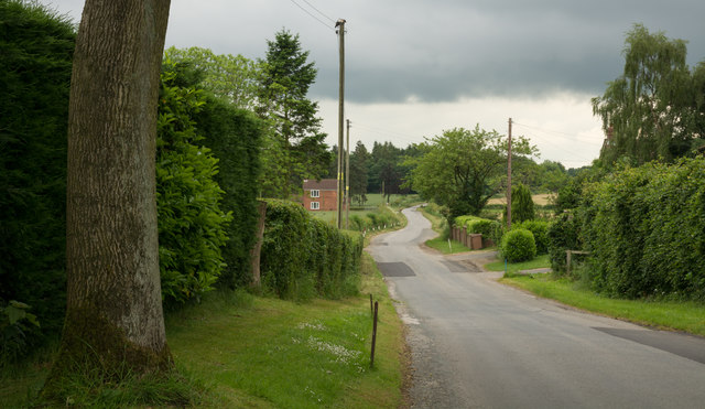
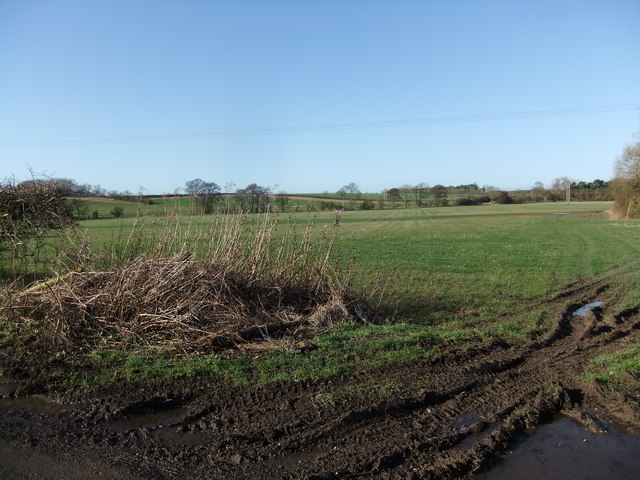
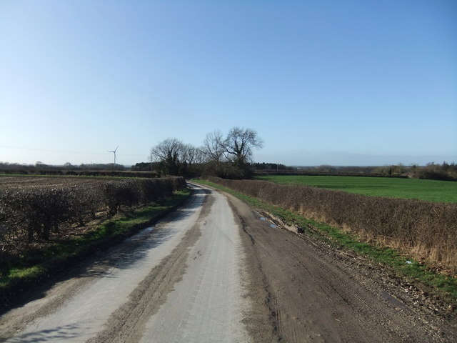
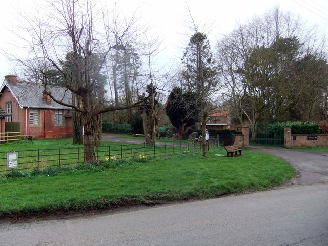
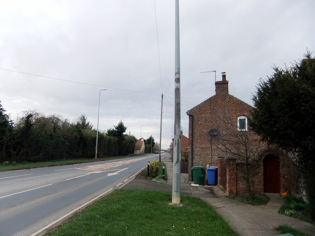
The village of Hayton itself is a small, picturesque settlement with a charming mix of traditional stone houses and newer, more modern properties. It is known for its peaceful and idyllic setting, surrounded by open countryside and farmland. The village benefits from a close-knit community spirit, with a village hall serving as a central hub for social activities and events.

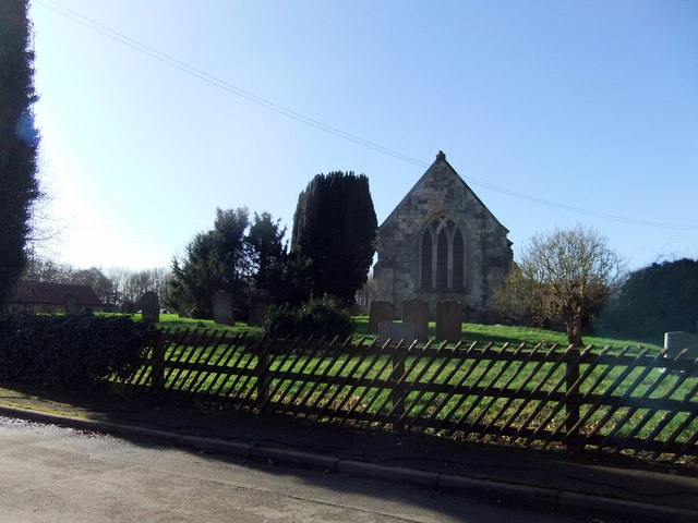
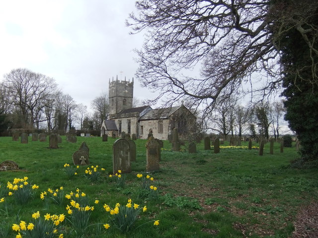
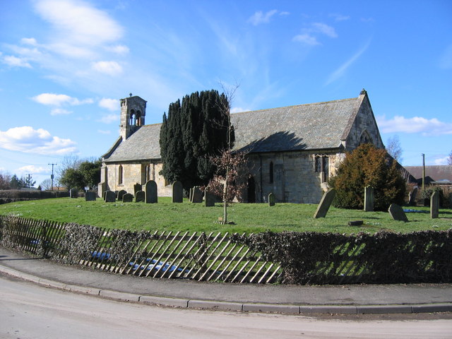
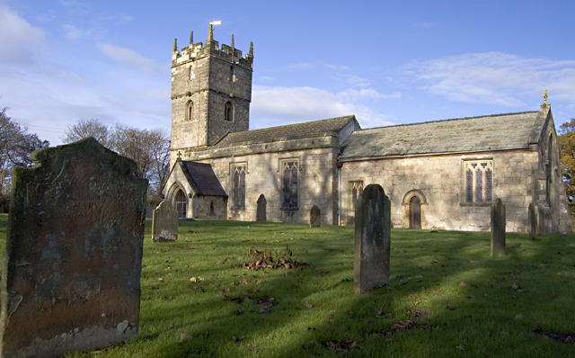
Hayton is also home to St. Martin's Church, a Grade II listed building dating back to the 12th century. The church is a prominent landmark in the area and holds regular services for the local community.

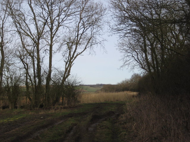
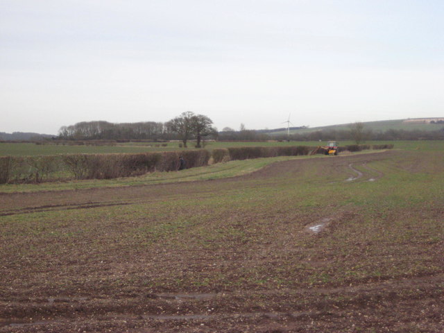
The economy of Hayton is primarily based on agriculture, with farming being the main industry in the area. The fertile land surrounding the village allows for a variety of crops to be grown, as well as dairy farming.

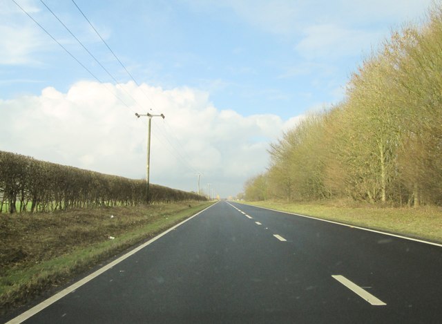
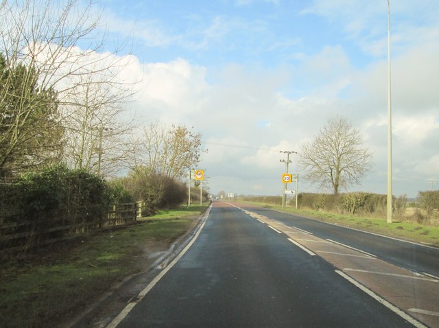
The parish is well-connected to nearby towns and cities, with good road links to York and the A64, providing easy access to the wider region. Despite its rural location, Hayton offers a peaceful and scenic retreat for residents, while still being within reach of urban amenities and employment opportunities.

If you have any feedback on the listing, please let us know in the comments section below.
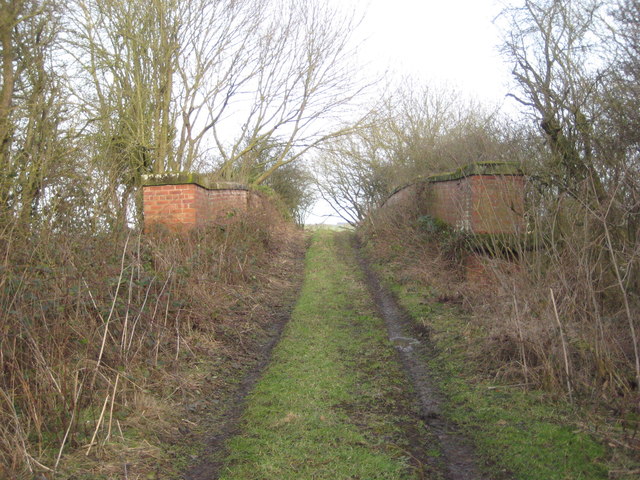
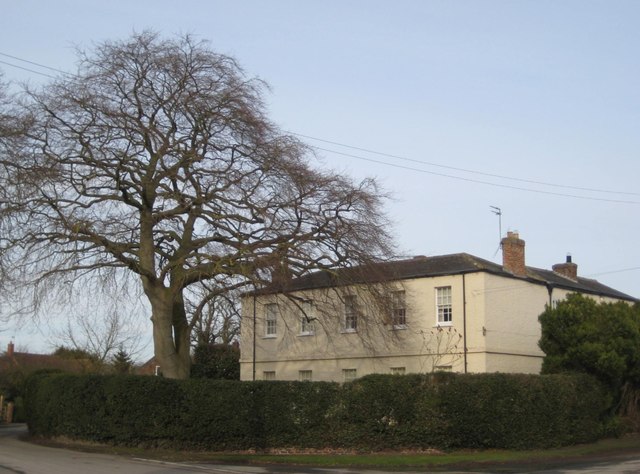
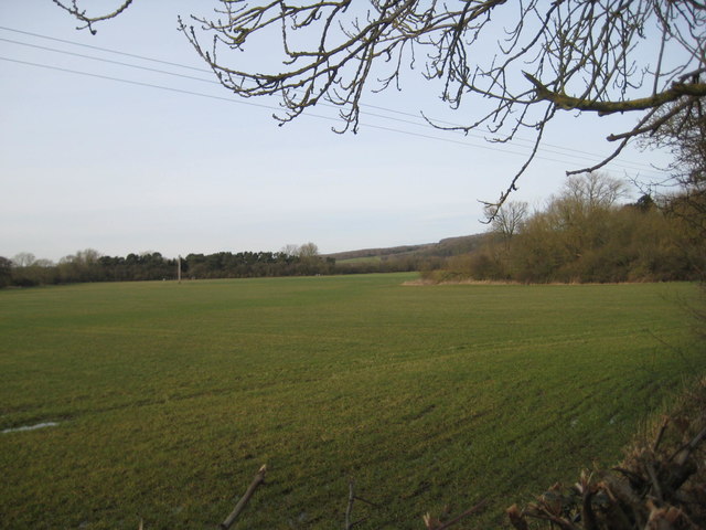
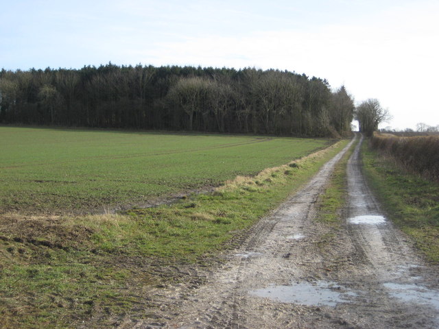
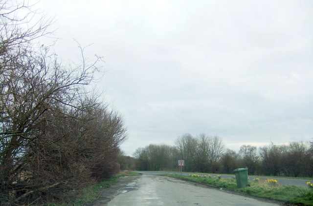
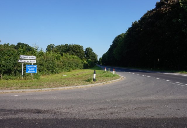
Hayton Images

Images are sourced within 2km of 53.90236/-0.737672 or Grid Reference SE8345. Thanks to Geograph Open Source API. All images are credited.

Minor road at Thorpe le Street The road leaves the A1079 at Thorpe le Street heading south-west, soon passing between two farms, North Farm and South Farm, which is from where the image was recorded.
Minor road at Thorpe le Street
The road leaves the A1079 at Thorpe le Street heading south-west, soon passing between two farms, North Farm and South Farm, which is from where the image was recorded.
Dual- Carriageway A1079  toward  Hayton Usually carries a lot of traffic but a Sunday lunchtime in February an empty road
Dual- Carriageway A1079 toward Hayton
Usually carries a lot of traffic but a Sunday lunchtime in February an empty road
Leaving  Hayton  on  the  A1079  toward  York
Leaving Hayton on the A1079 toward York
Green Lane Not a right of way but because the footpath from Burnby was ploughed up I ended up here.
Green Lane
Not a right of way but because the footpath from Burnby was ploughed up I ended up here.
Bridge over the former railway Where the footpath to Burnby crosses the former York to Beverley line.
Bridge over the former railway
Where the footpath to Burnby crosses the former York to Beverley line.
The Old Rectory, Burnby A much extended eighteenth century house <span class="nowrap"><a title="https://www.britishlistedbuildings.co.uk/101084146-the-old-rectory-hayton#.WogZVefLjVI" rel="nofollow ugc noopener" href="https://www.britishlistedbuildings.co.uk/101084146-the-old-rectory-hayton#.WogZVefLjVI">Link</a><img style="margin-left:2px;" alt="External link" title="External link - shift click to open in new window" src="https://s1.geograph.org.uk/img/external.png" width="10" height="10"/></span>
The Old Rectory, Burnby
A much extended eighteenth century house LinkExternal link
Longhill Wood and the Sykes Longhill Wood is on the right. The Sykes more distant on the left.
Longhill Wood and the Sykes
Longhill Wood is on the right. The Sykes more distant on the left.
Farm track and Queen Anne Plantation
Hedge trimming near Trenwick In these mechanised days an easy task but in the past cutting a hedge on the opposite side of a drain would have been more of a challenge.
Hedge trimming near Trenwick
In these mechanised days an easy task but in the past cutting a hedge on the opposite side of a drain would have been more of a challenge.
Old Milestone by the A1079 lay-by, in Hayton parish Metal plate attached to stone post by the A1079, in parish of Hayton (East Riding of Yorkshire District), lay-by on East-bound side of dual carriageway, on the verge between road and lay-by, on North side of road. Beverley mounting block, 3 step, erected by the Beverley to Kexby Bridge turnpike trust in the 20th century. 

Inscription reads:-
13
BEVERLEY
16
YORK 

Milestone Society National ID: YE_YOBV16
Old Milestone by the A1079 lay-by, in Hayton parish
Metal plate attached to stone post by the A1079, in parish of Hayton (East Riding of Yorkshire District), lay-by on East-bound side of dual carriageway, on the verge between road and lay-by, on North side of road. Beverley mounting block, 3 step, erected by the Beverley to Kexby Bridge turnpike trust in the 20th century. Inscription reads:- 13 BEVERLEY 16 YORK Milestone Society National ID: YE_YOBV16
Fields near Burnby
Fields near Burnby
St Giles Church, Burnby
Road towards Burnby
Road towards Burnby
St Martin's Church, Hayton
Village Hall, Hayton
A1079 in Hayton
A1079 in Hayton
Lay-by on the A1079
Lay-by on the A1079
A1079 from Thorpe Le Street
Show me another place!

Hayton is located at Grid Ref: SE8345 (Lat: 53.90236, Lng: -0.737672)

Division: East Riding

Unitary Authority: East Riding of Yorkshire

Police Authority: Humberside

What 3 Words

///golden.auctioned.mixed. Near Hayton, East Yorkshire

Nearby Locations

Hayton Railway Wood

Related Wikis

Nunburnholme railway station

Nunburnholme railway station was a railway station on the York to Beverley Line in the East Riding of Yorkshire, England. It opened in 1848 as Burnby,...

Burnby

Burnby is a village and former civil parish, now in the parish of Hayton, in the East Riding of Yorkshire, England. It is situated approximately 2.5 miles...

Hayton, East Riding of Yorkshire

Hayton is a village and civil parish in the East Riding of Yorkshire, England. It is situated approximately 2 miles (3 km) south of the market town of...

Thorpe le Street

Thorpe le Street is a hamlet and former civil parish, now in the parish of Hayton, in the East Riding of Yorkshire, England. It is situated approximately...

Nearby Amenities

Located within 500m of 53.90236,-0.737672
Power: pole
Lat/Long: 53.9065741/-0.7355306
Power: pole
Lat/Long: 53.9064722/-0.7368404
Power: pole
Lat/Long: 53.9063735/-0.7381723
Power: pole
Lat/Long: 53.9062773/-0.739453
Power: pole
Lat/Long: 53.9061745/-0.7407351
The data included in this document is from www.openstreetmap.org. The data is made available under ODbL.

Have you been to Hayton?

Leave your review of Hayton below (or comments, questions and feedback).