Railway Wood

Wood, Forest in Yorkshire

England

Railway Wood

Minor road at Thorpe le Street The road leaves the A1079 at Thorpe le Street heading south-west, soon passing between two farms, North Farm and South Farm, which is from where the image was recorded.
Minor road at Thorpe le Street Credit: Trevor Littlewood

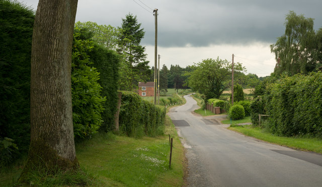
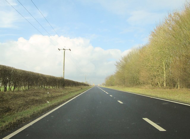
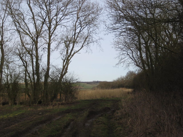
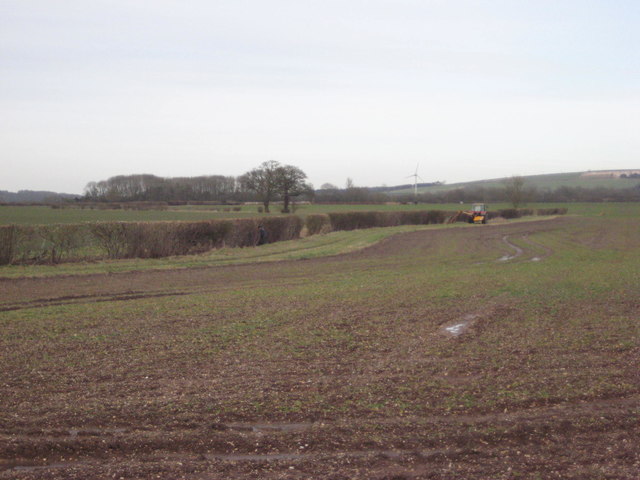
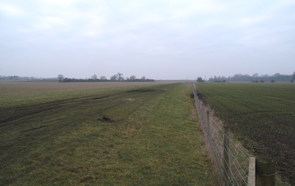
Railway Wood is a small woodland area located in Yorkshire, England. Situated near the town of Wood, the forest is popular among locals and visitors alike for its serene atmosphere and beautiful scenery. Covering an area of approximately 50 acres, Railway Wood is home to a diverse range of flora and fauna, making it an important ecological site in the region.

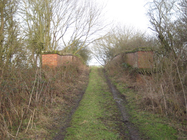
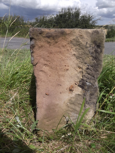
The wood derives its name from its historical connection to the railway industry. In the late 19th and early 20th centuries, a railway line used to run through the area, transporting goods and passengers. Today, remnants of the railway line can still be found, adding to the charm and character of the woodland.

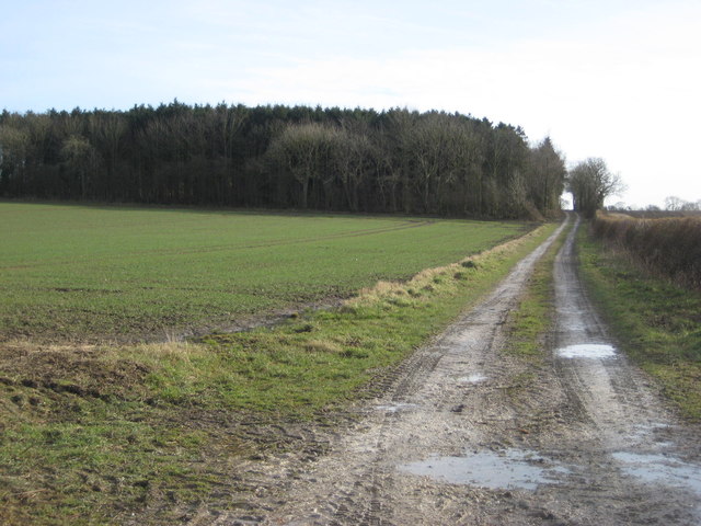
The forest is primarily composed of deciduous trees such as oak, beech, and birch, which provide a vibrant display of colors during the autumn months. There are also areas of coniferous trees, including pine and spruce, adding to the diversity of the woodland. The forest floor is covered in a thick carpet of moss, providing a soft and cushioned feel underfoot.

Railway Wood is a popular spot for nature enthusiasts, hikers, and birdwatchers. The woodland is home to a variety of bird species, including woodpeckers, owls, and thrushes. Additionally, visitors may encounter other wildlife such as squirrels, rabbits, and deer.

The woodland offers several walking trails, allowing visitors to explore its beauty at their own pace. These trails are well-maintained and offer stunning views of the surrounding countryside. Railway Wood is a tranquil and picturesque destination, providing a peaceful retreat from the hustle and bustle of everyday life.

If you have any feedback on the listing, please let us know in the comments section below.
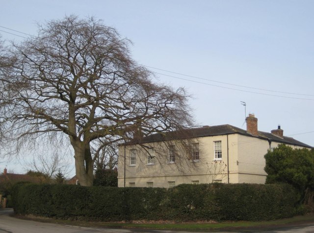
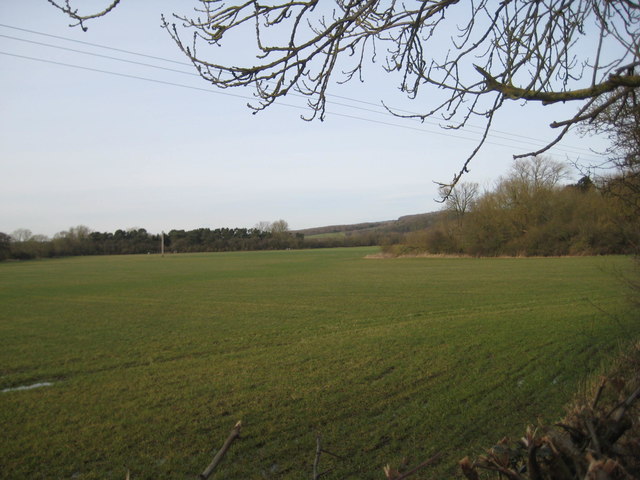
Railway Wood Images

Images are sourced within 2km of 53.899212/-0.72706077 or Grid Reference SE8345. Thanks to Geograph Open Source API. All images are credited.

Minor road at Thorpe le Street The road leaves the A1079 at Thorpe le Street heading south-west, soon passing between two farms, North Farm and South Farm, which is from where the image was recorded.
Minor road at Thorpe le Street
The road leaves the A1079 at Thorpe le Street heading south-west, soon passing between two farms, North Farm and South Farm, which is from where the image was recorded.
Along Londesborough Avenue Leading towards Shiptonthorpe.
Along Londesborough Avenue
Leading towards Shiptonthorpe.
Sheep near Londesborough Moor The map marks a track across the field here.
Sheep near Londesborough Moor
The map marks a track across the field here.
Rainbow near Partridge Hall Farm
Thorpe le Street, East Yorks For a narrow country lane through a tiny hamlet, this road seems to carry a lot of heavy traffic - no doubt it is the easiest route from the busy A1079 to villages like Everingham and Seaton Ross.
Thorpe le Street, East Yorks
For a narrow country lane through a tiny hamlet, this road seems to carry a lot of heavy traffic - no doubt it is the easiest route from the busy A1079 to villages like Everingham and Seaton Ross.
Dual- Carriageway A1079  toward  Hayton Usually carries a lot of traffic but a Sunday lunchtime in February an empty road
Dual- Carriageway A1079 toward Hayton
Usually carries a lot of traffic but a Sunday lunchtime in February an empty road
Leaving  Hayton  on  the  A1079  toward  York
Leaving Hayton on the A1079 toward York
Partridge  Hall  farm  from  lane Left down to Burnby, right up to the access road to Partridge Hall farm which is also the route of the Yorkshire Wolds way. Note the road surface there is a chalk quarry further up on the right
Partridge Hall farm from lane
Left down to Burnby, right up to the access road to Partridge Hall farm which is also the route of the Yorkshire Wolds way. Note the road surface there is a chalk quarry further up on the right
Ponds  in  the  field  below  Partridge  Hall  Farm The spring is just to the right, the water runs down to join Burnby Beck
Ponds in the field below Partridge Hall Farm
The spring is just to the right, the water runs down to join Burnby Beck
Garrick Farm Moor Covert in the distance.
Garrick Farm
Moor Covert in the distance.
Green Lane Not a right of way but because the footpath from Burnby was ploughed up I ended up here.
Green Lane
Not a right of way but because the footpath from Burnby was ploughed up I ended up here.
Bridge over the former railway Where the footpath to Burnby crosses the former York to Beverley line.
Bridge over the former railway
Where the footpath to Burnby crosses the former York to Beverley line.
The Old Rectory, Burnby A much extended eighteenth century house <span class="nowrap"><a title="https://www.britishlistedbuildings.co.uk/101084146-the-old-rectory-hayton#.WogZVefLjVI" rel="nofollow ugc noopener" href="https://www.britishlistedbuildings.co.uk/101084146-the-old-rectory-hayton#.WogZVefLjVI">Link</a><img style="margin-left:2px;" alt="External link" title="External link - shift click to open in new window" src="https://s1.geograph.org.uk/img/external.png" width="10" height="10"/></span>
The Old Rectory, Burnby
A much extended eighteenth century house LinkExternal link
Longhill Wood and the Sykes Longhill Wood is on the right. The Sykes more distant on the left.
Longhill Wood and the Sykes
Longhill Wood is on the right. The Sykes more distant on the left.
Farm track and Queen Anne Plantation
Hedge trimming near Trenwick In these mechanised days an easy task but in the past cutting a hedge on the opposite side of a drain would have been more of a challenge.
Hedge trimming near Trenwick
In these mechanised days an easy task but in the past cutting a hedge on the opposite side of a drain would have been more of a challenge.
Farm track alongside Thorpe Whin
Old Milestone by the A1079 lay-by, in Hayton parish Metal plate attached to stone post by the A1079, in parish of Hayton (East Riding of Yorkshire District), lay-by on East-bound side of dual carriageway, on the verge between road and lay-by, on North side of road. Beverley mounting block, 3 step, erected by the Beverley to Kexby Bridge turnpike trust in the 20th century. 

Inscription reads:-
13
BEVERLEY
16
YORK 

Milestone Society National ID: YE_YOBV16
Old Milestone by the A1079 lay-by, in Hayton parish
Metal plate attached to stone post by the A1079, in parish of Hayton (East Riding of Yorkshire District), lay-by on East-bound side of dual carriageway, on the verge between road and lay-by, on North side of road. Beverley mounting block, 3 step, erected by the Beverley to Kexby Bridge turnpike trust in the 20th century. Inscription reads:- 13 BEVERLEY 16 YORK Milestone Society National ID: YE_YOBV16
Show me another place!

Railway Wood is located at Grid Ref: SE8345 (Lat: 53.899212, Lng: -0.72706077)

Division: East Riding

Unitary Authority: East Riding of Yorkshire

Police Authority: Humberside

What 3 Words

///ordinary.reseller.tango. Near Hayton, East Yorkshire

Nearby Locations

Railway Wood Hayton

Related Wikis

Nunburnholme railway station

Nunburnholme railway station was a railway station on the York to Beverley Line in the East Riding of Yorkshire, England. It opened in 1848 as Burnby,...

Burnby

Burnby is a village and former civil parish, now in the parish of Hayton, in the East Riding of Yorkshire, England. It is situated approximately 2.5 miles...

Thorpe le Street

Thorpe le Street is a hamlet and former civil parish, now in the parish of Hayton, in the East Riding of Yorkshire, England. It is situated approximately...

Londesborough Park railway station

Londesborough Park railway station was a short-lived private station on the York to Beverley Line at Londesborough in the East Riding of Yorkshire, England...

Nearby Amenities

Located within 500m of 53.899212,-0.72706077
Fixme: Longer than this
Lat/Long: 53.8972003/-0.7265123
The data included in this document is from www.openstreetmap.org. The data is made available under ODbL.

Have you been to Railway Wood?

Leave your review of Railway Wood below (or comments, questions and feedback).