Hayton
Civil Parish in Nottinghamshire Bassetlaw
England
Hayton
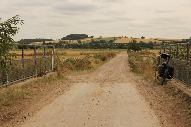
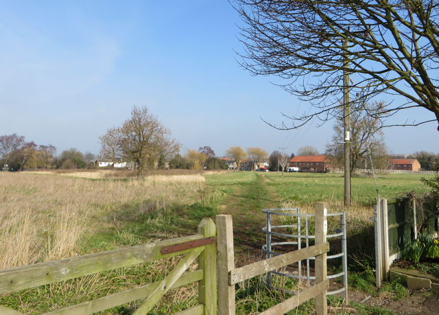
Hayton is a civil parish located in the county of Nottinghamshire, England. It is situated approximately 9 miles north of the city of Newark-on-Trent and covers an area of around 3 square miles. The parish is predominantly rural, characterized by open fields, farmlands, and scattered residential properties.
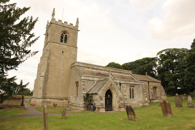
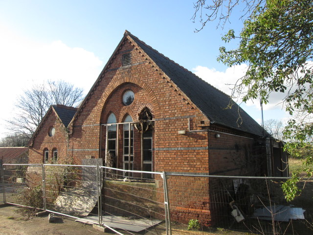
The population of Hayton is relatively small, with just over 300 residents according to the latest census data. The village itself is centered around a small cluster of houses, a primary school, and a historic church, which serves as a focal point for the community.
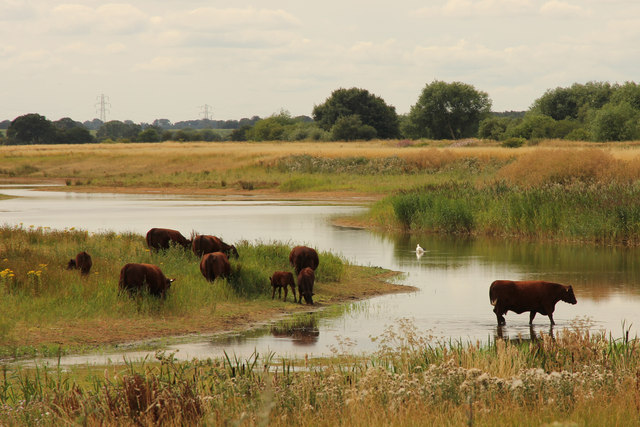
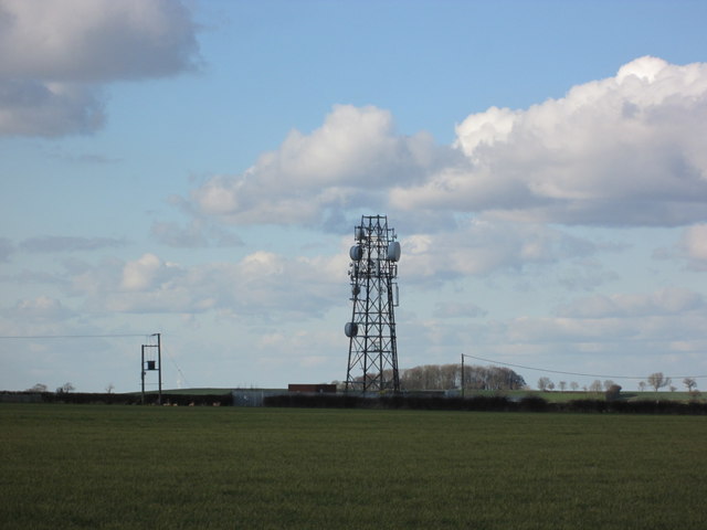
Hayton has a rich history, with evidence of human settlement dating back to Roman times. The area was predominantly agricultural, with farming being the primary occupation for many residents throughout the centuries. Today, agriculture still plays a significant role in the local economy, with several farms operating in the surrounding countryside.
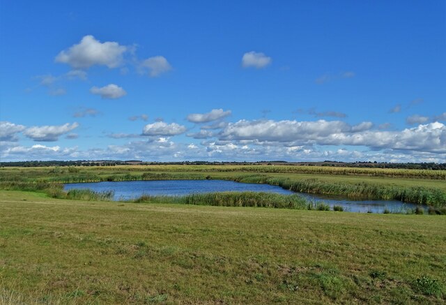
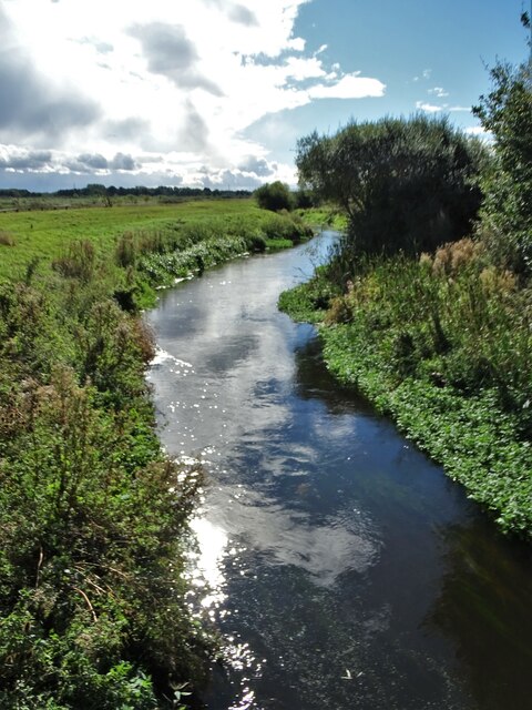
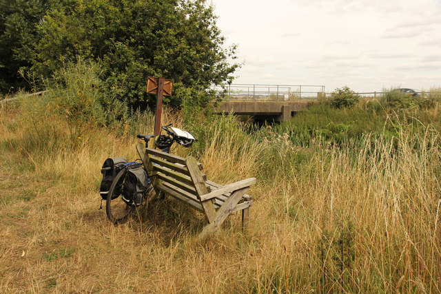
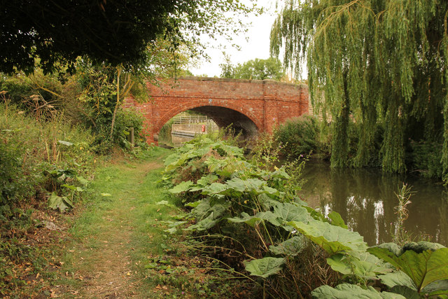
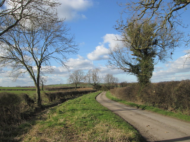
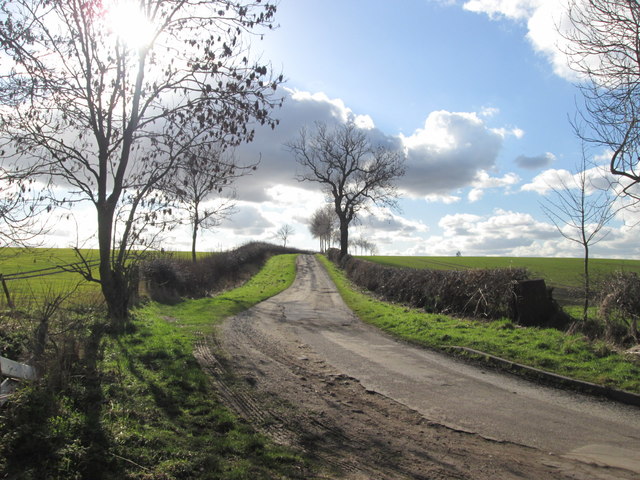
The village enjoys a peaceful and tranquil atmosphere, offering residents and visitors a quiet escape from the hustle and bustle of nearby urban areas. It is surrounded by picturesque countryside, making it an ideal location for outdoor activities such as walking, cycling, and horse riding.
Although Hayton is primarily residential and rural, it benefits from its proximity to larger towns and cities. Newark-on-Trent, with its range of amenities including shops, restaurants, and leisure facilities, is easily accessible by car or public transport.
In summary, Hayton is a small and peaceful civil parish in Nottinghamshire, characterized by its rural landscape, strong agricultural roots, and close-knit community.
If you have any feedback on the listing, please let us know in the comments section below.
Hayton Images
Images are sourced within 2km of 53.356876/-0.901103 or Grid Reference SK7385. Thanks to Geograph Open Source API. All images are credited.


Hayton is located at Grid Ref: SK7385 (Lat: 53.356876, Lng: -0.901103)
Administrative County: Nottinghamshire
District: Bassetlaw
Police Authority: Nottinghamshire
What 3 Words
///composes.labs.printouts. Near Clarborough, Nottinghamshire
Nearby Locations
Related Wikis

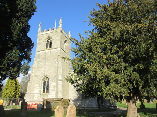
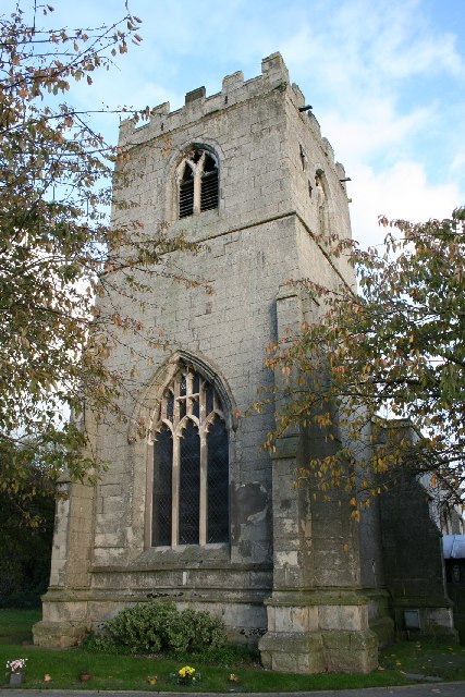
St Peter's Church, Hayton
St Peter's Church, Hayton is a Grade I listed parish church in the Church of England in Hayton, Nottinghamshire. == History == The church dates from the...

East Retford Rural District
East Retford was a rural district in Nottinghamshire, England from 1894 to 1974. It was formed under the Local Government Act 1894 from East Retford rural...

Clarborough
Clarborough is a village in the civil parish of Clarborough and Welham, in the district of Bassetlaw, Nottinghamshire, England. Clarborough is located...

St John the Baptist Church, Clarborough
St John the Baptist's Church is a Grade I listed Church of England parish church in Clarborough, Nottinghamshire, England. == History == The church dates...
Clarborough and Welham
Clarborough and Welham is a civil parish in the Bassetlaw district, in the county of Nottinghamshire, England. The parish includes the village of Clarborough...

Hayton, Nottinghamshire
Hayton is a village in Nottinghamshire, England. It is located 4 miles north-east of Retford. According to the 2001 census it had a population (including...

Clayworth
Clayworth is a village and civil parish in Nottinghamshire, England. At the time of the 2001 census it had a population of 319, increasing to 419 at the...
North Wheatley
North Wheatley is a village and former civil parish, now in the parish of North and South Wheatley, in Bassetlaw district, in the county of Nottinghamshire...
Nearby Amenities
Located within 500m of 53.356876,-0.901103Have you been to Hayton?
Leave your review of Hayton below (or comments, questions and feedback).