Haynes

Civil Parish in Bedfordshire

England

Haynes

A6 southbound near St Jude's Farm
A6 southbound near St Jude's Farm Credit: Colin Pyle

The requested URL returned error: 429 Too Many Requests

If you have any feedback on the listing, please let us know in the comments section below.
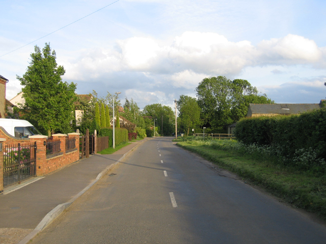
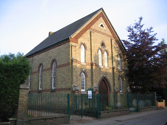
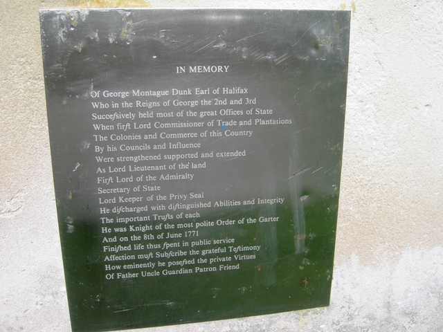
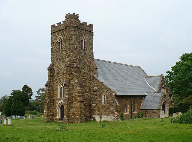
Haynes Images

Images are sourced within 2km of 52.058053/-0.418482 or Grid Reference TL0841. Thanks to Geograph Open Source API. All images are credited.

A6 southbound near St Jude's Farm
Northwood End Road, Haynes, Beds
Methodist Chapel, Silver End, Haynes, Beds The foundation stones were laid in Aug 1874.
Methodist Chapel, Silver End, Haynes, Beds
The foundation stones were laid in Aug 1874.
Obelisk In Chicksands Wood
Detail On the Obelisk At Chicksands Wood
Along Greensands Ridge Walk
Looking SSW in Chicksands Wood
The Obelisk in Chicksands Wood from the NE
Bakehouse Cottage, Northwood End Road, Haynes Full marks to the bricklayer.
Bakehouse Cottage, Northwood End Road, Haynes
Full marks to the bricklayer.
The Greyhound public house, Northwood End Road The Greyhound was known as 'The Dog' from time to time since 1820.
The Greyhound public house, Northwood End Road
The Greyhound was known as 'The Dog' from time to time since 1820.
Greensand Ridge Walk Sign post showing the path heading north towards Haynes and eastish.
Greensand Ridge Walk
Sign post showing the path heading north towards Haynes and eastish.
Greensand Ridge Walk The GRW path heading north into Haynes.
Greensand Ridge Walk
The GRW path heading north into Haynes.
Obelisk for George Montagu-Dunk  Chicksands Woods As you walk down the Long Drive in Chicksands Woods you discover this Obelisk shown on the OS map.  It has a plaque visible in this image, I have also submitted a close up of it.  The Obelisk is in memory of George Montagu-Dunk, 2nd Earl of Halifax, (6 October 1716 – 8 June 1771) who was a British statesman of the Georgian era.

There is an article about him via the

<span class="nowrap"><a title="http://en.wikipedia.org/wiki/George_Montagu-Dunk,_2nd_Earl_of_Halifax" rel="nofollow ugc noopener" href="http://en.wikipedia.org/wiki/George_Montagu-Dunk,_2nd_Earl_of_Halifax">Link</a><img style="margin-left:2px;" alt="External link" title="External link - shift click to open in new window" src="https://s1.geograph.org.uk/img/external.png" width="10" height="10"/></span>
Obelisk for George Montagu-Dunk Chicksands Woods
As you walk down the Long Drive in Chicksands Woods you discover this Obelisk shown on the OS map. It has a plaque visible in this image, I have also submitted a close up of it. The Obelisk is in memory of George Montagu-Dunk, 2nd Earl of Halifax, (6 October 1716 – 8 June 1771) who was a British statesman of the Georgian era. There is an article about him via the LinkExternal link
Obelisk for George Montagu-Dunk  Chicksands Woods This is a close up of the inscription on the Obelisk to George Montagu-Dunk, 2nd Earl of Halifax, (6 October 1716 – 8 June 1771) who was a British statesman of the Georgian era.

There is already such an image submitted on Geograph, I have updated it with this one which is (hopefully) a little easier to read.

I have processed the raw image file to optimise legibility.  There is a decent article about George Montagu-Dunk via <span class="nowrap"><a title="http://en.wikipedia.org/wiki/George_Montagu-Dunk,_2nd_Earl_of_Halifax" rel="nofollow ugc noopener" href="http://en.wikipedia.org/wiki/George_Montagu-Dunk,_2nd_Earl_of_Halifax">Link</a><img style="margin-left:2px;" alt="External link" title="External link - shift click to open in new window" src="https://s1.geograph.org.uk/img/external.png" width="10" height="10"/></span>
Obelisk for George Montagu-Dunk Chicksands Woods
This is a close up of the inscription on the Obelisk to George Montagu-Dunk, 2nd Earl of Halifax, (6 October 1716 – 8 June 1771) who was a British statesman of the Georgian era. There is already such an image submitted on Geograph, I have updated it with this one which is (hopefully) a little easier to read. I have processed the raw image file to optimise legibility. There is a decent article about George Montagu-Dunk via LinkExternal link
Mysterious Concrete Structure This is one of two such structures that I have so far discovered in Chicksands woods.  I don't know what they are but they do seem to resemble WWII relics which I have seen elsewhere.  I notice these ones have been covered over with chicken wire and are part full of water.  This area was used by the military during the war for storing ammunition.

Some links below relate to local history:
<span class="nowrap"><a title="http://www.sheffordtown.co.uk/walks/new%20leaflets/walk%204.pdf" rel="nofollow ugc noopener" href="http://www.sheffordtown.co.uk/walks/new%20leaflets/walk%204.pdf">Link</a><img style="margin-left:2px;" alt="External link" title="External link - shift click to open in new window" src="https://s1.geograph.org.uk/img/external.png" width="10" height="10"/></span>
<span class="nowrap"><a title="http://www.sheffordtown.co.uk/chicksands-history.html" rel="nofollow ugc noopener" href="http://www.sheffordtown.co.uk/chicksands-history.html">Link</a><img style="margin-left:2px;" alt="External link" title="External link - shift click to open in new window" src="https://s1.geograph.org.uk/img/external.png" width="10" height="10"/></span>
<span class="nowrap"><a title="http://en.wikipedia.org/wiki/RAF_Chicksands" rel="nofollow ugc noopener" href="http://en.wikipedia.org/wiki/RAF_Chicksands">Link</a><img style="margin-left:2px;" alt="External link" title="External link - shift click to open in new window" src="https://s1.geograph.org.uk/img/external.png" width="10" height="10"/></span>

Since originally posting these images a local resident has contacted me via geograph informing me that these structures were for holding water to extinguish any fires that may have broken out.
<a href="https://www.geograph.org.uk/photo/2161190">TL1040 : Close Up of Concrete Structure</a>
Mysterious Concrete Structure
This is one of two such structures that I have so far discovered in Chicksands woods. I don't know what they are but they do seem to resemble WWII relics which I have seen elsewhere. I notice these ones have been covered over with chicken wire and are part full of water. This area was used by the military during the war for storing ammunition. Some links below relate to local history: LinkExternal link LinkExternal link LinkExternal link Since originally posting these images a local resident has contacted me via geograph informing me that these structures were for holding water to extinguish any fires that may have broken out. TL1040 : Close Up of Concrete Structure
Close Up of Concrete Structure This is one of two such structures that I have so far discovered in Chicksands woods.  I don't know what they are but they do seem to resemble WWII relics which I have seen elsewhere.  I notice these ones have been covered over with chicken wire and are part full of water.  I guess they may be some sort of foundations for gun emplacements or similar.  This area was used by the military during the war for storing ammunition.  There are the remains of railway workings nearby.

Some links below relate to local history:
<span class="nowrap"><a title="http://www.sheffordtown.co.uk/walks/new%20leaflets/walk%204.pdf" rel="nofollow ugc noopener" href="http://www.sheffordtown.co.uk/walks/new%20leaflets/walk%204.pdf">Link</a><img style="margin-left:2px;" alt="External link" title="External link - shift click to open in new window" src="https://s1.geograph.org.uk/img/external.png" width="10" height="10"/></span>
<span class="nowrap"><a title="http://www.sheffordtown.co.uk/chicksands-history.html" rel="nofollow ugc noopener" href="http://www.sheffordtown.co.uk/chicksands-history.html">Link</a><img style="margin-left:2px;" alt="External link" title="External link - shift click to open in new window" src="https://s1.geograph.org.uk/img/external.png" width="10" height="10"/></span>
<span class="nowrap"><a title="http://en.wikipedia.org/wiki/RAF_Chicksands" rel="nofollow ugc noopener" href="http://en.wikipedia.org/wiki/RAF_Chicksands">Link</a><img style="margin-left:2px;" alt="External link" title="External link - shift click to open in new window" src="https://s1.geograph.org.uk/img/external.png" width="10" height="10"/></span>

Since originally posting these images a local resident has contacted me via geograph informing me that these structures were for holding water to extinguish any fires that may have broken out.
<a href="https://www.geograph.org.uk/photo/2161181">TL1040 : Mysterious Concrete Structure</a>
Close Up of Concrete Structure
This is one of two such structures that I have so far discovered in Chicksands woods. I don't know what they are but they do seem to resemble WWII relics which I have seen elsewhere. I notice these ones have been covered over with chicken wire and are part full of water. I guess they may be some sort of foundations for gun emplacements or similar. This area was used by the military during the war for storing ammunition. There are the remains of railway workings nearby. Some links below relate to local history: LinkExternal link LinkExternal link LinkExternal link Since originally posting these images a local resident has contacted me via geograph informing me that these structures were for holding water to extinguish any fires that may have broken out. TL1040 : Mysterious Concrete Structure
Village Hall, Haynes
Playground behind the village hall
Show me another place!

Haynes is located at Grid Ref: TL0841 (Lat: 52.058053, Lng: -0.418482)

Unitary Authority: Central Bedfordshire

Police Authority: Bedfordshire

What 3 Words

///shunted.regular.flop. Near Haynes, Bedfordshire

Nearby Locations

Haynes Haynes Church End

Related Wikis

Haynes Church End

Haynes Church End is located in the Central Bedfordshire district of Bedfordshire, England. The settlement is close to the larger villages of Houghton...
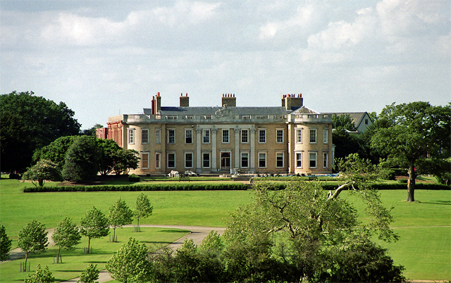
Haynes Park

Haynes Park is a Georgian country house which stands in parkland at Haynes Church End, Bedfordshire, England. It is a Grade I listed building.Originally...

Haynes, Bedfordshire

Haynes is a village and civil parish in Bedfordshire, England, about seven miles (11 km) south of Bedford. It includes the small hamlet of Haynes Church...

Wilstead

Wilstead is a village and civil parish in Bedfordshire, England, just off the A6 Bedford to Luton road, about five miles south of Bedford town centre,...

Nearby Amenities

Located within 500m of 52.058053,-0.418482
Haynes Church End
Place: locality
Wikidata: Q1519320
Wikipedia: en:Haynes Church End
Lat/Long: 52.0582337/-0.4247411
Post Box
Collection Times: Mo-Fr 16:00; Sa 13:00
Operator: Royal Mail
Post Box Type: lamp
Ref: MK45 107
Royal Cypher: EIIR
Royal Cypher Wikidata: Q33102113
Source: survey
Survey Date: 2016-12-12
Lat/Long: 52.0581946/-0.4223769
Direction: 180
Generator Method: photovoltaic
Generator Output Electricity: yes
Generator Solar Modules: 8
Generator Source: solar
Generator Type: solar_photovoltaic_panel
Location: roof
Power: generator
Lat/Long: 52.0571489/-0.412392
The data included in this document is from www.openstreetmap.org. The data is made available under ODbL.

Have you been to Haynes?

Leave your review of Haynes below (or comments, questions and feedback).