Hollin Hill
Hill, Mountain in Nottinghamshire Bassetlaw
England
Hollin Hill
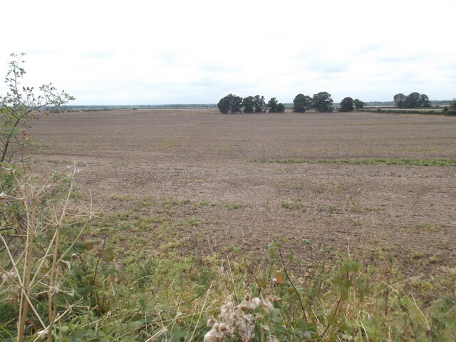
Hollin Hill is a prominent hill located in Nottinghamshire, England. Situated near the village of Hollin, it is part of the wider Sherwood Forest area. Standing at an elevation of approximately 200 meters, Hollin Hill offers picturesque views of the surrounding countryside.
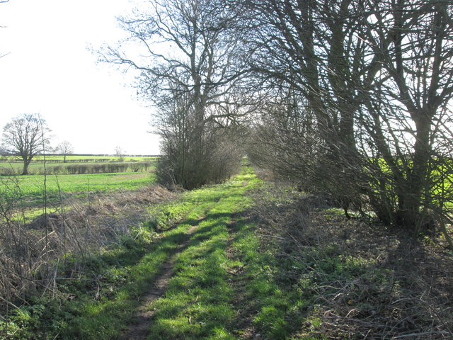
The hill is covered in a dense mix of woodland, comprising mainly oak, birch, and beech trees. These trees provide a vibrant display of colors during the autumn months and offer a haven for local wildlife. Many species of birds, including woodpeckers and owls, can be spotted here, making it a popular destination for birdwatchers.
Hollin Hill is also known for its historical significance. Legend has it that Robin Hood, the legendary outlaw, used the hill as a lookout point to survey the surrounding landscape. This connection to the famous folklore figure adds to the charm and allure of the area.
The hill is easily accessible, with well-maintained walking trails leading to its summit. Visitors can enjoy a leisurely hike through the woodland, taking in the tranquil atmosphere and enjoying the natural beauty of the area. Along the way, there are several viewpoints that offer stunning vistas of the surrounding countryside.
Overall, Hollin Hill is a delightful destination for nature lovers, history enthusiasts, and those seeking a peaceful retreat. Its combination of scenic beauty, rich wildlife, and historical significance make it a must-visit location in Nottinghamshire.
If you have any feedback on the listing, please let us know in the comments section below.
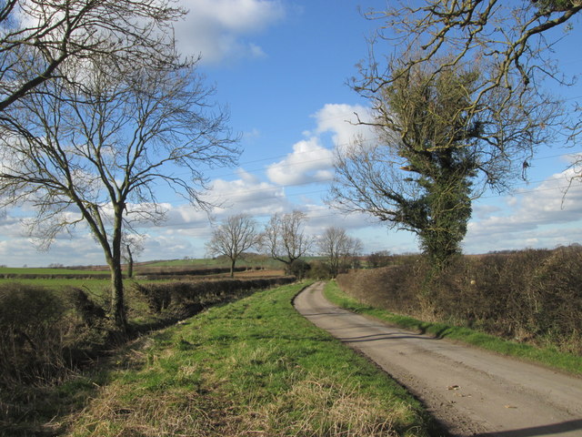
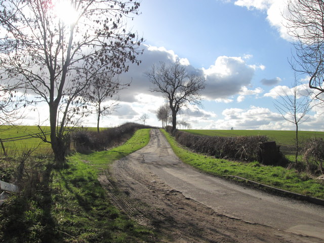
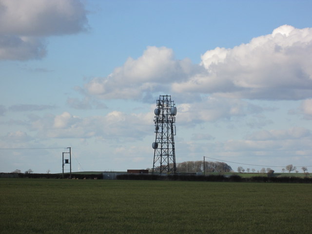
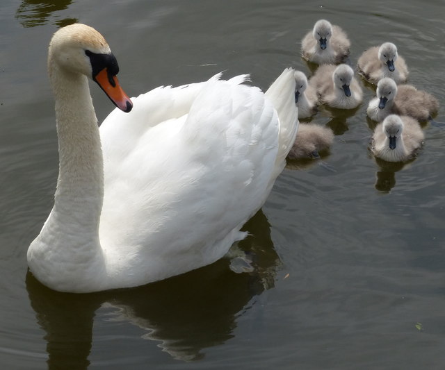
Hollin Hill Images
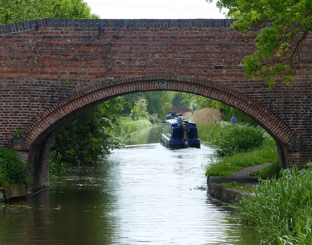
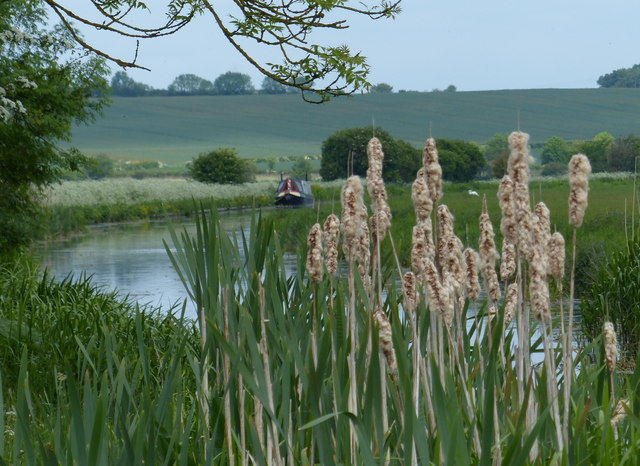
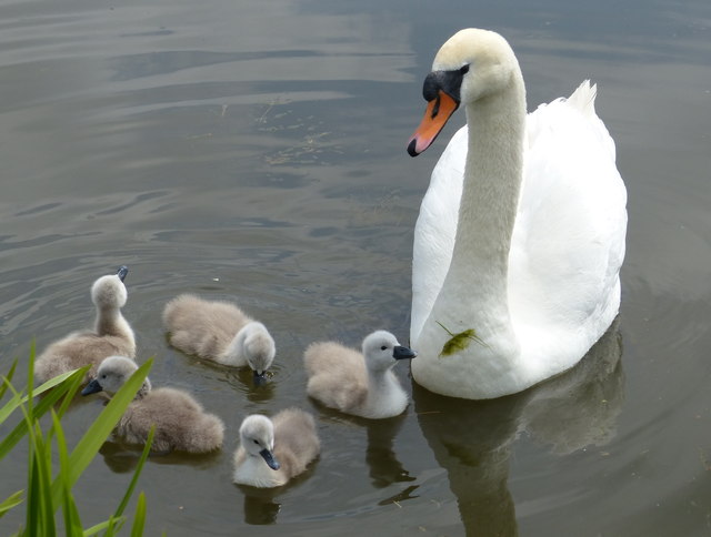
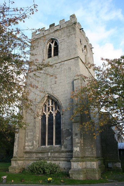
Images are sourced within 2km of 53.360341/-0.89613203 or Grid Reference SK7385. Thanks to Geograph Open Source API. All images are credited.


Hollin Hill is located at Grid Ref: SK7385 (Lat: 53.360341, Lng: -0.89613203)
Administrative County: Nottinghamshire
District: Bassetlaw
Police Authority: Nottinghamshire
What 3 Words
///spindles.practical.broker. Near Clarborough, Nottinghamshire
Nearby Locations
Related Wikis

St Peter's Church, Hayton
St Peter's Church, Hayton is a Grade I listed parish church in the Church of England in Hayton, Nottinghamshire. == History == The church dates from the...

East Retford Rural District
East Retford was a rural district in Nottinghamshire, England from 1894 to 1974. It was formed under the Local Government Act 1894 from East Retford rural...

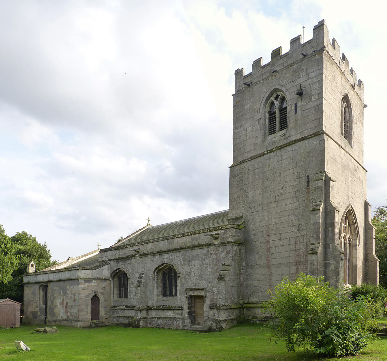
St John the Baptist Church, Clarborough
St John the Baptist's Church is a Grade I listed Church of England parish church in Clarborough, Nottinghamshire, England. == History == The church dates...

Clarborough
Clarborough is a village in the civil parish of Clarborough and Welham, in the district of Bassetlaw, Nottinghamshire, England. Clarborough is located...
North Wheatley
North Wheatley is a village and former civil parish, now in the parish of North and South Wheatley, in Bassetlaw district, in the county of Nottinghamshire...
St Peter and St Paul's Church, North Wheatley
St Peter and St Paul's Church is a Grade II* listed parish church in the Church of England in North Wheatley. == History and description == The church...
North and South Wheatley
North and South Wheatley is a civil parish in the Bassetlaw district, in the county of Nottinghamshire, England. The parish includes the villages of North...

Clayworth
Clayworth is a village and civil parish in Nottinghamshire, England. At the time of the 2001 census it had a population of 319, increasing to 419 at the...
Nearby Amenities
Located within 500m of 53.360341,-0.89613203Have you been to Hollin Hill?
Leave your review of Hollin Hill below (or comments, questions and feedback).