Hatton

Civil Parish in Warwickshire Warwick

England

Hatton

Bridge at Hatton Locks Over the Grand Union Canal.
Bridge at Hatton Locks Credit: David Howard

Hatton is a civil parish located in the county of Warwickshire, England. It is situated approximately 9 miles southwest of the town of Warwick and 6 miles southeast of the city of Birmingham. The parish covers an area of around 9.5 square kilometers and is home to a population of about 1,500 residents.

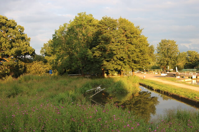
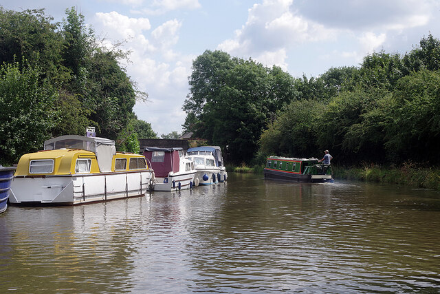
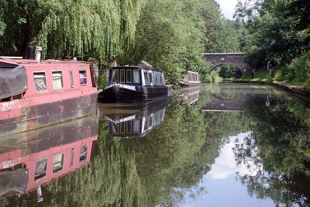
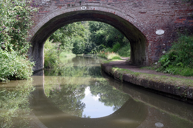
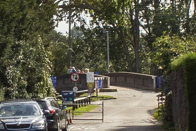
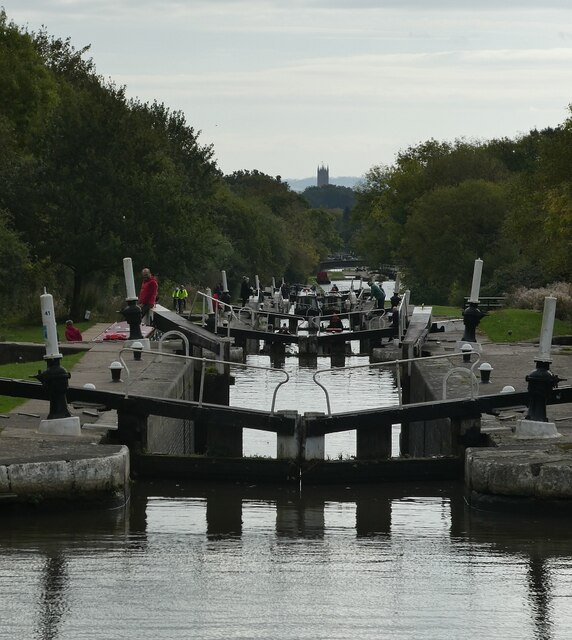
The village of Hatton is known for its picturesque countryside setting and its close proximity to the Grand Union Canal. The canal forms a significant part of the village's history and provides opportunities for leisure activities such as boating and fishing. Hatton Locks, a flight of 21 locks on the canal, is a popular tourist attraction in the area.

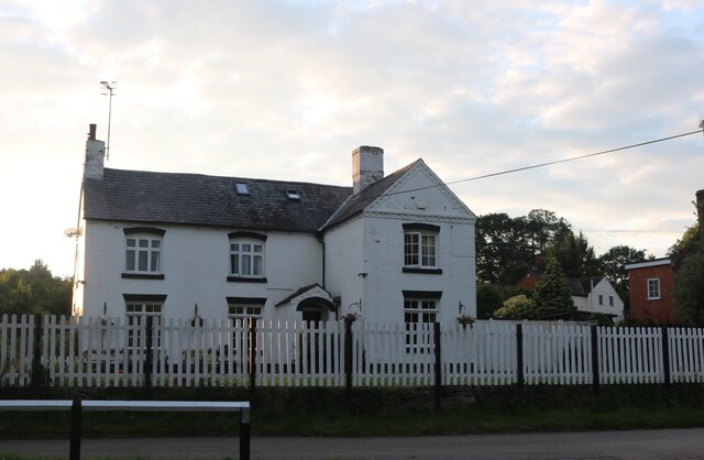
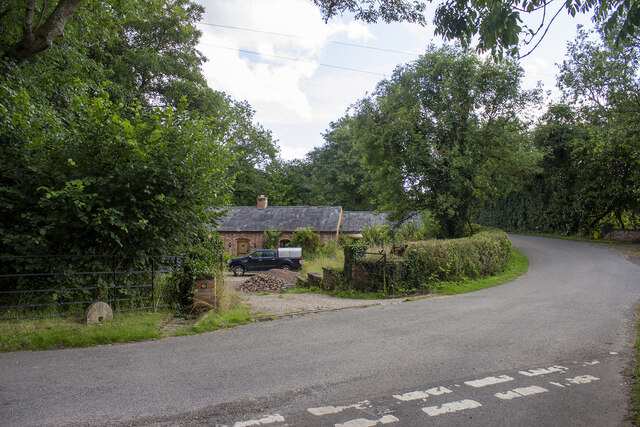
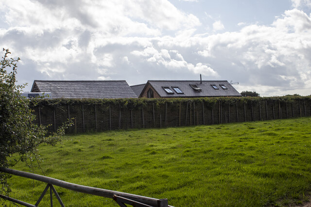
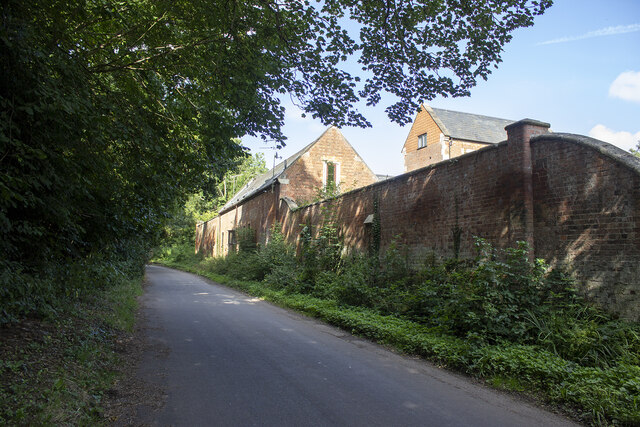
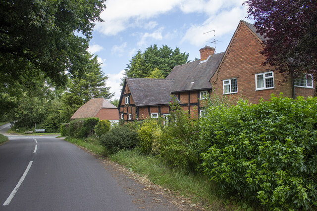
The village itself has a charming, traditional feel, with several historic buildings and cottages. St. Peter's Church, a Grade II listed building, stands as a prominent landmark in Hatton. The village also has a primary school, a post office, and a few local shops and amenities that serve the needs of the community.

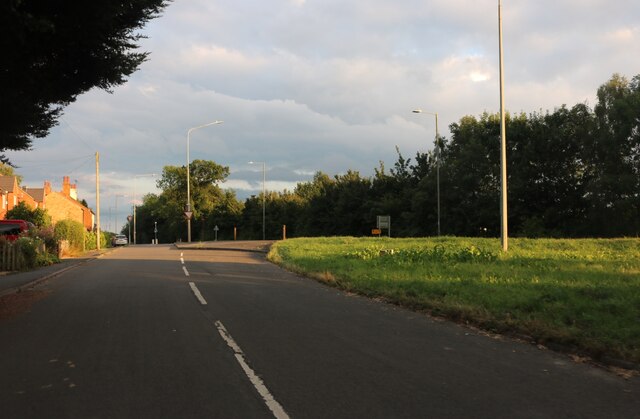
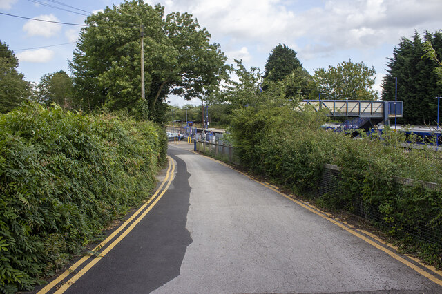
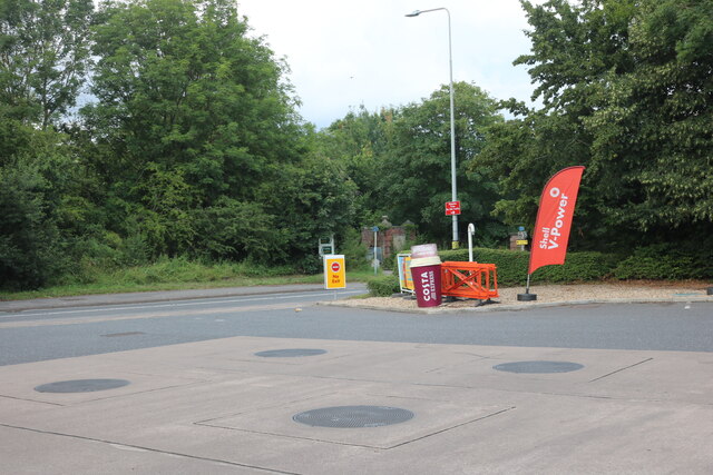
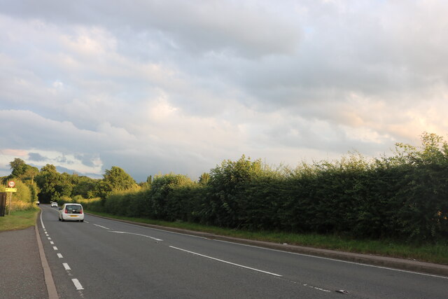
Hatton benefits from good transport links, with the A4177 road passing through the village, connecting it to nearby towns and cities. The railway station at Hatton provides regular train services to Birmingham and Leamington Spa.

Overall, Hatton offers a peaceful and idyllic rural lifestyle, with its scenic surroundings and close-knit community. It is a desirable place to live for those seeking a quieter countryside location while still having easy access to larger urban areas.

If you have any feedback on the listing, please let us know in the comments section below.

Hatton Images

Images are sourced within 2km of 52.29881/-1.650445 or Grid Reference SP2366. Thanks to Geograph Open Source API. All images are credited.

Bridge at Hatton Locks Over the Grand Union Canal.
Bridge at Hatton Locks
Over the Grand Union Canal.
Pond by Hatton Locks The locks can be seen on the right
Pond by Hatton Locks
The locks can be seen on the right
House by Hatton Locks Possibly the lock keepers cottage
House by Hatton Locks
Possibly the lock keepers cottage
Brownley Green, Hatton
Grand Union Canal, Hatton A narrowboat heads towards bridge 56 on the approach towards Hatton Locks.
Grand Union Canal, Hatton
A narrowboat heads towards bridge 56 on the approach towards Hatton Locks.
Grand Union Canal, Hatton Green Ahead is no 55, St John's Bridge, the last before boaters face the marathon of Hatton Locks.
Grand Union Canal, Hatton Green
Ahead is no 55, St John's Bridge, the last before boaters face the marathon of Hatton Locks.
St John's Bridge, Grand Union Canal Everything looks peaceful in this scene at bridge 55 but about half a mile ahead is the top of Hatton's 21 Locks which take the canal down to Warwick.
St John's Bridge, Grand Union Canal
Everything looks peaceful in this scene at bridge 55 but about half a mile ahead is the top of Hatton's 21 Locks which take the canal down to Warwick.
Haseley Mill
Haseley Mill
Kingstanding Farm Converted field barn opposite Kingstanding Farm, Kites Nest Lane
Kingstanding Farm
Converted field barn opposite Kingstanding Farm, Kites Nest Lane
Lower Farm Converted vernacular farm buildings at Lower Farm
Lower Farm
Converted vernacular farm buildings at Lower Farm
Canal bridge
Canal bridge
Station Road
Station Road
Hatton Station
Hatton Station
Shell petrol forecourt on Birmingham Road, Hatton
Birmingham Road, Haseley
Brownley Green, Hatton
Junction with Hockley Road Station Road nearing junction with Hockley Road (B4439)
Junction with Hockley Road
Station Road nearing junction with Hockley Road (B4439)
Hatton locks - looking down the flight Looking down part of the flight of Hatton locks with the tower of St Mary's, Warwick directly ahead. See <a href="https://www.geograph.org.uk/photo/7006505">SP2466 : Hatton locks - looking up the flight</a> for the view up the flight.
Hatton locks - looking down the flight
Looking down part of the flight of Hatton locks with the tower of St Mary's, Warwick directly ahead. See SP2466 : Hatton locks - looking up the flight for the view up the flight.
Show me another place!

Hatton is located at Grid Ref: SP2366 (Lat: 52.29881, Lng: -1.650445)

Administrative County: Warwickshire

District: Warwick

Police Authority: Warwickshire

What 3 Words

///groomed.feared.novelists. Near Hatton, Warwickshire

Nearby Locations

Hatton

Related Wikis

Hatton, Warwickshire

Hatton is a village and civil parish about 4 miles (6 km) west-northwest of Warwick, in the Warwick District of Warwickshire in England. The parish had...

Hatton Locks

The Hatton Locks or Hatton Flight are a flight of 21 locks on the Grand Union Canal in Hatton, Warwickshire, England. The flight spans less than 2 miles...

Central Hospital, Hatton

Central Hospital was a psychiatric hospital located in Hatton, Warwickshire, England. == History == Building began in 1846 on a 42-acre (17 ha) site purchased...

Haseley

Haseley is a small village and former civil parish in Warwickshire, England. It is four miles north-west of the county town of Warwick and nine miles...

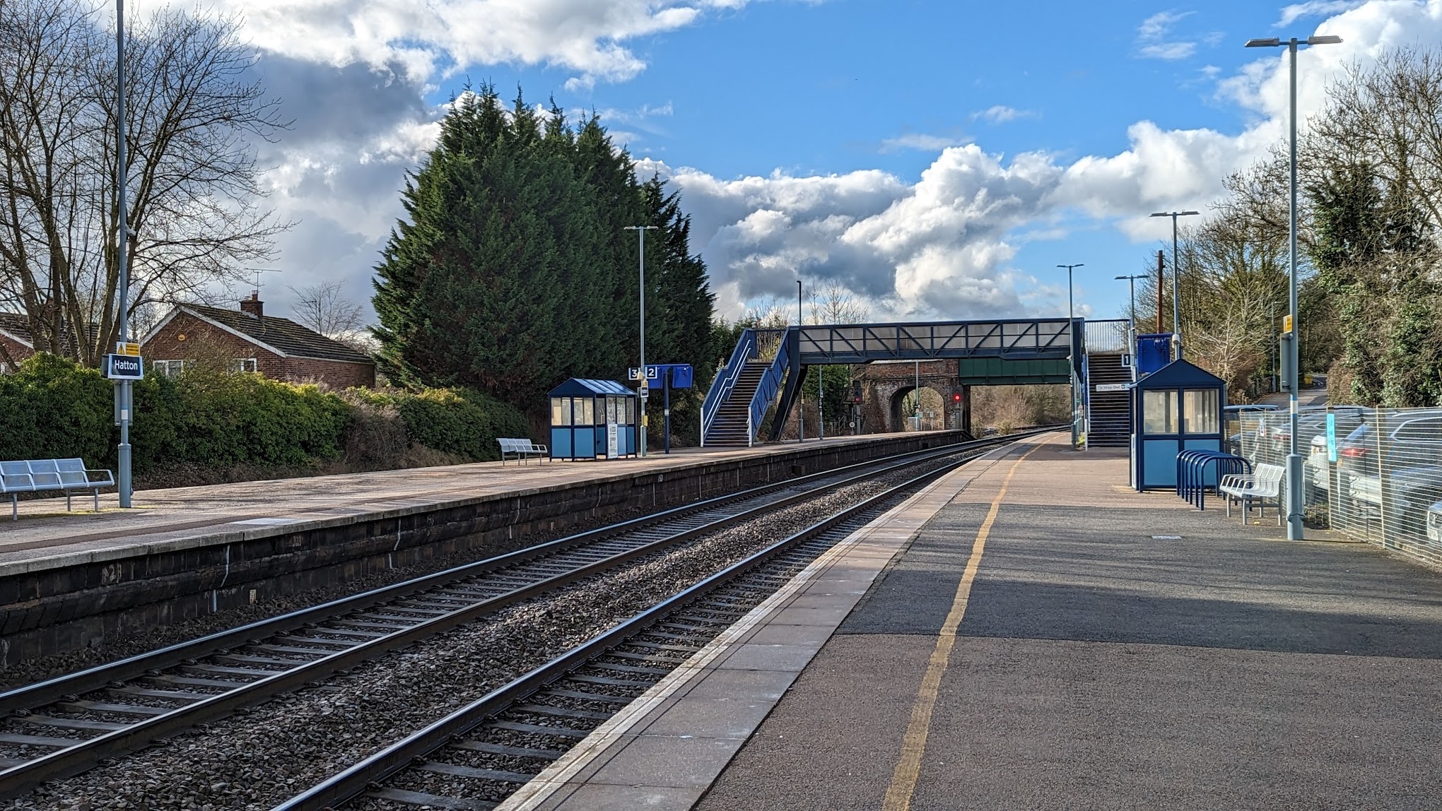
Hatton railway station (England)

Hatton railway station takes the name of the village of Hatton in Warwickshire, England, although it is about 1 mile (1.6 km) from the village. It is situated...

Shrewley

Shrewley is a village and civil parish in Warwickshire, England, about 5 miles north-west of Warwick. It consists of Little Shrewley, and Shrewley Common...
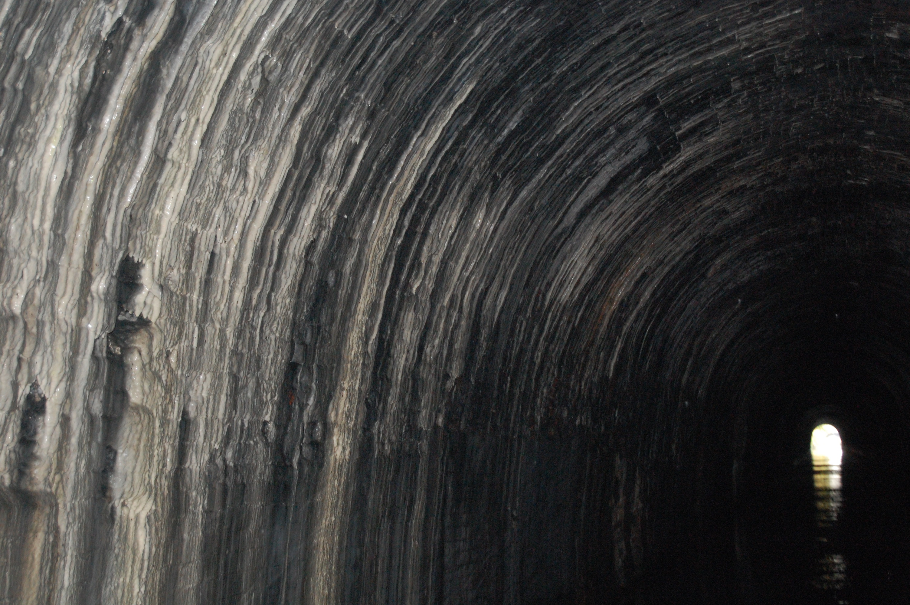
Shrewley Tunnel

Shrewley Tunnel is a canal tunnel near Shrewley, Warwickshire, England, which opened in 1799. It became part of the Grand Union Canal in 1929. == History... ==

Budbrooke

Budbrooke is a village and civil parish in the Warwick district of Warwickshire, England. It is 3 miles west of Warwick and according to the 2001 census...

Nearby Amenities

Located within 500m of 52.29881,-1.650445
Hatton Locks
Place: locality
Lat/Long: 52.2991589/-1.6446914
Barrier: kissing_gate
Foot: yes
Lat/Long: 52.2992378/-1.6457974
Barrier: stile
Foot: yes
Lat/Long: 52.2975551/-1.6456465
Toilets
Source: GPS
Lat/Long: 52.2991231/-1.6499035
Cafe
Hatton Locks Cafe
Addr Postcode: CV35 7JL
Addr Street: Canal Lane
Source: GPS
Lat/Long: 52.2991682/-1.6499942
Railway: switch
Lat/Long: 52.2977356/-1.6457132
Water Point
Hatton Top Lock Water Point
Access: permissive
Drinking Water: yes
Man Made: water_tap
Operator: Canal and River Trust
Waterway: water_point
Lat/Long: 52.2990645/-1.6512848
Give Way
Direction: forward
Lat/Long: 52.3020156/-1.6511953
Alders Farm
Note: Farm is owned by Hatton and buildings appear to only be sued for storage nowadays.
Place: farm
Lat/Long: 52.2962148/-1.6478243
Waste Disposal
Hatton Top Lock Rubbish Disposal
Access: permissive
Centralkey: no
Operator: Canal and River Trust
Waste: trash
Waterway: waste_disposal
Lat/Long: 52.2991249/-1.650062
Waste Disposal
Hatton Locks Rubbish Disposal
Access: permissive
Operator: Canal and River Trust
Waste: trash
Waterway: waste_disposal
Lat/Long: 52.2993133/-1.6448473
Seamark Type: gate
Waterway: lock_gate
Lat/Long: 52.2991878/-1.650938
Seamark Type: gate
Waterway: lock_gate
Lat/Long: 52.2992185/-1.6505377
Seamark Type: gate
Waterway: lock_gate
Lat/Long: 52.2993431/-1.6492233
Seamark Type: gate
Waterway: lock_gate
Lat/Long: 52.2993756/-1.6488334
Seamark Type: gate
Waterway: lock_gate
Lat/Long: 52.2994722/-1.6477189
Seamark Type: gate
Waterway: lock_gate
Lat/Long: 52.2995066/-1.6473064
Seamark Type: gate
Waterway: lock_gate
Lat/Long: 52.2995656/-1.6462624
Seamark Type: gate
Waterway: lock_gate
Lat/Long: 52.2995743/-1.6458491
Seamark Type: gate
Waterway: lock_gate
Lat/Long: 52.2993738/-1.6442625
Seamark Type: gate
Waterway: lock_gate
Lat/Long: 52.2994589/-1.6446422
Seamark Type: gate
Waterway: lock_gate
Lat/Long: 52.2990717/-1.6431372
Seamark Type: gate
Waterway: lock_gate
Lat/Long: 52.2991808/-1.6434977
Entrance: main
Wheelchair: yes
Lat/Long: 52.300728/-1.6476534
Budbrooke junction
Railway: junction
Lat/Long: 52.2977555/-1.6457042
Material: wood
Operator: National Grid Electricity Distribution Plc
Power: pole
Lat/Long: 52.2995433/-1.6495506
Material: wood
Operator: National Grid Electricity Distribution Plc
Power: pole
Lat/Long: 52.299599/-1.648636
Seamark Type: gate
Waterway: lock_gate
Lat/Long: 52.2997727/-1.646268
Material: wood
Operator: National Grid Electricity Distribution
Operator Wikidata: Q7988183
Power: pole
Source: bing
Lat/Long: 52.3008908/-1.644697
Barrier: cattle_grid
Lat/Long: 52.2945981/-1.6529334
Barrier: cattle_grid
Lat/Long: 52.2955373/-1.6493668
Barrier: cattle_grid
Lat/Long: 52.2956509/-1.6524104
Street Lamp
Lat/Long: 52.3021473/-1.6506752
Street Lamp
Lat/Long: 52.3023231/-1.6510599
Street Lamp
Lat/Long: 52.3025427/-1.6515969
Street Lamp
Lat/Long: 52.3018201/-1.6498175
Street Lamp
Lat/Long: 52.3019844/-1.6503134
Street Lamp
Lat/Long: 52.3006963/-1.6446196
Street Lamp
Lat/Long: 52.3006712/-1.6440153
Street Lamp
Lat/Long: 52.3007223/-1.645143
Street Lamp
Lat/Long: 52.3006608/-1.6457117
Street Lamp
Lat/Long: 52.3006752/-1.6462123
Street Lamp
Lat/Long: 52.3007097/-1.6467663
Street Lamp
Lat/Long: 52.3007679/-1.6472966
Street Lamp
Lat/Long: 52.3009095/-1.6477417
Street Lamp
Lat/Long: 52.301109/-1.6481163
Street Lamp
Lat/Long: 52.3013545/-1.6483198
Street Lamp
Lat/Long: 52.301569/-1.6487371
Street Lamp
Lat/Long: 52.3017773/-1.6492455
Direction: backward
Maxspeed: 40 mph
Traffic Sign: maxspeed
Traffic Sign Direction: backward
Lat/Long: 52.3003975/-1.6448257
Give Way
Direction: backward
Lat/Long: 52.3022423/-1.6508241
Give Way
Direction: backward
Lat/Long: 52.302194/-1.650514
The data included in this document is from www.openstreetmap.org. The data is made available under ODbL.

Have you been to Hatton?

Leave your review of Hatton below (or comments, questions and feedback).