Hatton

Civil Parish in Cheshire

England

Hatton

Newton Lane crossing M56 Motorway
Newton Lane crossing M56 Motorway Credit: Alpin Stewart

Hatton is a civil parish located in the ceremonial county of Cheshire, England. It is situated approximately 10 miles southwest of the city of Chester and falls within the unitary authority of Cheshire West and Chester. The parish occupies an area of about 4 square miles and is home to a population of around 1,200 residents.

The village of Hatton is a quintessential English countryside settlement with a rich history dating back to the medieval era. It is characterized by its picturesque landscapes, charming cottages, and traditional architecture. The village is surrounded by fertile farmland, which contributes to the area's agricultural heritage.

In terms of amenities, Hatton offers a range of essential services to its residents. These include a village hall, a primary school, a church, and a number of local businesses. The village is also well-connected to neighboring towns and cities, with good road links and public transportation options.

Being situated in the heart of rural Cheshire, Hatton offers an abundance of natural beauty and outdoor recreational opportunities. The surrounding countryside is crisscrossed with footpaths and bridleways, making it ideal for walking, cycling, and horseback riding. The area is also well-known for its wildlife, including various species of birds and mammals.

Overall, Hatton, Cheshire is a charming and idyllic civil parish that provides a peaceful and close-knit community for its residents, while also offering easy access to the amenities and natural beauty of the surrounding area.

If you have any feedback on the listing, please let us know in the comments section below.
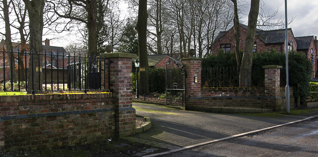
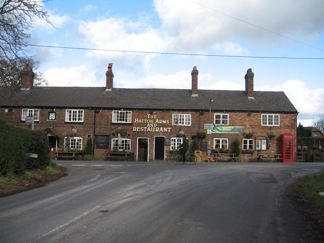
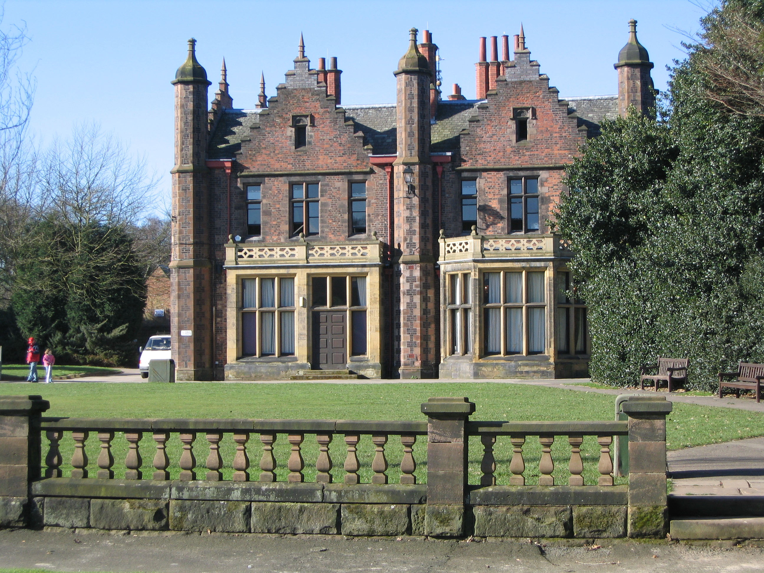
Hatton Images

Images are sourced within 2km of 53.335153/-2.599443 or Grid Reference SJ6082. Thanks to Geograph Open Source API. All images are credited.

Newton Lane crossing M56 Motorway
Grazing and barn, Brook House Farm
Higher Lane
Higher Lane
Grazing and footpath off Newton Lane
Newton Lane towards Daresbury
Maize crop off Summer Lane
Woodland of Summer Lane
M56 Motorway near Daresbury
The entrance to Grimsditch Hall
Grimsditch Lane at its junction with Greenhill Lane
A49 Tarporley Road Passing Brookside Fisheries The A49 is a major road that runs for 158 miles from Bamber Bridge, near Preston, to Ross-on-Wye.

The section north of Warrington is mostly a non-primary road for local traffic, having been largely superseded by the M6 motorway. South of Warrington, the route traverses the Welsh Marches region <span class="nowrap"><a title="https://en.wikipedia.org/wiki/Welsh_Marches" rel="nofollow ugc noopener" href="https://en.wikipedia.org/wiki/Welsh_Marches">Link</a><img style="margin-left:2px;" alt="External link" title="External link - shift click to open in new window" src="https://s1.geograph.org.uk/img/external.png" width="10" height="10"/></span>  , following the hills along the English/Welsh borders although it never actually enters Wales; usually running around ten miles away from the border as it winds its way through Cheshire, Shropshire and Herefordshire although it comes within a couple of miles near Whitchurch. The road is all primary but mainly single carriageway, which means that traffic queues sometimes build up behind tractors or slow-moving goods vehicles.  The stretch between the A5 at Shrewsbury and Ross-on-Wye is a trunk road, maintained by the national Highways England.
<span class="nowrap"><a title="http://www.sabre-roads.org.uk/wiki/index.php?title=A49" rel="nofollow ugc noopener" href="http://www.sabre-roads.org.uk/wiki/index.php?title=A49">Link</a><img style="margin-left:2px;" alt="External link" title="External link - shift click to open in new window" src="https://s1.geograph.org.uk/img/external.png" width="10" height="10"/></span>  SABRE
A49 Tarporley Road Passing Brookside Fisheries
The A49 is a major road that runs for 158 miles from Bamber Bridge, near Preston, to Ross-on-Wye. The section north of Warrington is mostly a non-primary road for local traffic, having been largely superseded by the M6 motorway. South of Warrington, the route traverses the Welsh Marches region LinkExternal link , following the hills along the English/Welsh borders although it never actually enters Wales; usually running around ten miles away from the border as it winds its way through Cheshire, Shropshire and Herefordshire although it comes within a couple of miles near Whitchurch. The road is all primary but mainly single carriageway, which means that traffic queues sometimes build up behind tractors or slow-moving goods vehicles. The stretch between the A5 at Shrewsbury and Ross-on-Wye is a trunk road, maintained by the national Highways England. LinkExternal link SABRE
A49 Approaching Crossroads at Chapelhouse Farm The A49 is a major road that runs for 158 miles from Bamber Bridge, near Preston, to Ross-on-Wye.

The section north of Warrington is mostly a non-primary road for local traffic, having been largely superseded by the M6 motorway. South of Warrington, the route traverses the Welsh Marches region <span class="nowrap"><a title="https://en.wikipedia.org/wiki/Welsh_Marches" rel="nofollow ugc noopener" href="https://en.wikipedia.org/wiki/Welsh_Marches">Link</a><img style="margin-left:2px;" alt="External link" title="External link - shift click to open in new window" src="https://s1.geograph.org.uk/img/external.png" width="10" height="10"/></span>  , following the hills along the English/Welsh borders although it never actually enters Wales; usually running around ten miles away from the border as it winds its way through Cheshire, Shropshire and Herefordshire although it comes within a couple of miles near Whitchurch. The road is all primary but mainly single carriageway, which means that traffic queues sometimes build up behind tractors or slow-moving goods vehicles.  The stretch between the A5 at Shrewsbury and Ross-on-Wye is a trunk road, maintained by the national Highways England.
<span class="nowrap"><a title="http://www.sabre-roads.org.uk/wiki/index.php?title=A49" rel="nofollow ugc noopener" href="http://www.sabre-roads.org.uk/wiki/index.php?title=A49">Link</a><img style="margin-left:2px;" alt="External link" title="External link - shift click to open in new window" src="https://s1.geograph.org.uk/img/external.png" width="10" height="10"/></span>  SABRE
A49 Approaching Crossroads at Chapelhouse Farm
The A49 is a major road that runs for 158 miles from Bamber Bridge, near Preston, to Ross-on-Wye. The section north of Warrington is mostly a non-primary road for local traffic, having been largely superseded by the M6 motorway. South of Warrington, the route traverses the Welsh Marches region LinkExternal link , following the hills along the English/Welsh borders although it never actually enters Wales; usually running around ten miles away from the border as it winds its way through Cheshire, Shropshire and Herefordshire although it comes within a couple of miles near Whitchurch. The road is all primary but mainly single carriageway, which means that traffic queues sometimes build up behind tractors or slow-moving goods vehicles. The stretch between the A5 at Shrewsbury and Ross-on-Wye is a trunk road, maintained by the national Highways England. LinkExternal link SABRE
Old Milepost by the A49 in Stretton Cast iron post by the A49, in parish of Stretton (Warrington District), Pewterspear, half mile North of Stretton Cross Roads, in pavement, back to low brick wall. Cast iron CCC1896, erected by the County Council in the 19th century. 

Inscription reads:-
: GREAT BUDWORTH / 5 MILES / NORTHWICH 8 : : CHESHIRE / 1896 / COUNTY COUNCIL : : STOCKTON HEATH / 1¾ MILES / WARRINGTON 3 : 
Maker:-
: W H SMITH & CO / MAKERS / WHITCHURCH:

Grade II listed.
List Entry Number: 1392450 <span class="nowrap"><a title="https://historicengland.org.uk/listing/the-list/list-entry/1392450" rel="nofollow ugc noopener" href="https://historicengland.org.uk/listing/the-list/list-entry/1392450">Link</a><img style="margin-left:2px;" alt="External link" title="External link - shift click to open in new window" src="https://s1.geograph.org.uk/img/external.png" width="10" height="10"/></span>

Milestone Society National ID: CH_WANW03
Old Milepost by the A49 in Stretton
Cast iron post by the A49, in parish of Stretton (Warrington District), Pewterspear, half mile North of Stretton Cross Roads, in pavement, back to low brick wall. Cast iron CCC1896, erected by the County Council in the 19th century. Inscription reads:- : GREAT BUDWORTH / 5 MILES / NORTHWICH 8 : : CHESHIRE / 1896 / COUNTY COUNCIL : : STOCKTON HEATH / 1¾ MILES / WARRINGTON 3 : Maker:- : W H SMITH & CO / MAKERS / WHITCHURCH: Grade II listed. List Entry Number: 1392450 LinkExternal link Milestone Society National ID: CH_WANW03
Flooded field, Grimsditch The following winter and spring were also wet.
Flooded field, Grimsditch
The following winter and spring were also wet.
The M56 runs under Tarporley Road
The M56 heading west
The M56 runs under Pillmoss Lane
Limes Lane
Limes Lane
Show me another place!

Hatton is located at Grid Ref: SJ6082 (Lat: 53.335153, Lng: -2.599443)

Unitary Authority: Warrington

Police Authority: Cheshire

What 3 Words

///slot.trips.work. Near Stretton, Cheshire

Nearby Locations

Hatton

Related Wikis

Hatton, Warrington

Hatton is a civil parish and hamlet in the Borough of Warrington, Cheshire, England, located to the south of Warrington town centre. It lies on the B5356...

Stretton, Warrington

Stretton is a village and civil parish in the Borough of Warrington, Cheshire, England. The parish includes the village of Lower Stretton. It is at the...

Daresbury Hall

Daresbury Hall is a former Georgian country house in the village of Daresbury, Cheshire, England. It was built in 1759 for George Heron. The house is...

St Matthew's Church, Stretton

St Matthew's Church is in the village of Stretton, Cheshire, England. The church is recorded in the National Heritage List for England as a designated...

Creamfields

Creamfields is an electronic dance music festival series founded and organised by British club promoter Cream, with its UK edition taking place on August...

All Saints' Church, Daresbury

All Saints' Church is in the village of Daresbury, Cheshire, England. It is known for its association with Lewis Carroll who is commemorated in its stained...

Daresbury

Daresbury is a village and civil parish in the Borough of Halton, Cheshire, England. At the 2011 census, it had a population of 246. == History == The...

Walton, Cheshire

Walton is a village and civil parish in the Borough of Warrington, Cheshire, England. It is located at the southwest edge of the town of Warrington, next...

Nearby Amenities

Located within 500m of 53.335153,-2.599443
Hatton
Created By: Potlatch 0.6c
Place: hamlet
Lat/Long: 53.3380796/-2.6020747
Pub
Hatton Arms
Addr City: Warrington
Addr Country: GB
Addr Postcode: WA4 4DB
Addr Street: Hatton Lane
Fhrs Id: 977184
Url: https://hattonarms.co.uk/
Wikidata: Q26614984
Lat/Long: 53.3375338/-2.603869
Crossing
Crossing: unmarked
Crossing Island: yes
Tactile Paving: yes
Lat/Long: 53.3368524/-2.6030378
Phone
Emergency: phone
Ref: 8349 A
Lat/Long: 53.3331228/-2.5934353
Phone
Check Date: 2023-11-12
Emergency: phone
Ref: 8349 B
Lat/Long: 53.3334503/-2.5934792
Give Way
Direction: backward
Lat/Long: 53.3348805/-2.5983447
Give Way
Direction: forward
Lat/Long: 53.3350245/-2.5982979
Bus Stop
Sankey Lane
Bus: yes
Departures Board: no
Public Transport: platform
Shelter: yes
Lat/Long: 53.3366428/-2.6032958
Crossing
Crossing: unmarked
Crossing Island: yes
Tactile Paving: yes
Lat/Long: 53.3368443/-2.6032479
Public Bookcase
Defibrillator
Booth: K6
Defibrillator Location: inside old red phone box (that is now used as book exchange) next to Hatton Arms, Hatton Lane, Hatton
Disused Amenity: telephone
Emergency: defibrillator
Listed Status: Grade II
Man Made: telephone_box
Public Bookcase Type: phone_box
Lat/Long: 53.3374528/-2.6039093
Give Way
Direction: forward
Lat/Long: 53.3350102/-2.5985981
Give Way
Direction: forward
Lat/Long: 53.3327367/-2.597697
Give Way
Direction: backward
Lat/Long: 53.3374747/-2.6041149
Post Box
Operator: Royal Mail
Operator Wikidata: Q638098
Post Box Type: lamp
Ref: WA4 18
Royal Cypher: EIIR
Lat/Long: 53.3380344/-2.6034186
The data included in this document is from www.openstreetmap.org. The data is made available under ODbL.

Have you been to Hatton?

Leave your review of Hatton below (or comments, questions and feedback).