Haugh

Civil Parish in Lincolnshire East Lindsey

England

Haugh

Viking Link cable run south of Haugh: aerial 2021 See <a href="https://www.geograph.org.uk/photo/6819325">TF5480 : Support platform for Viking Link cable, off Sandilands: aerial 2021 (1)</a>.
Viking Link cable run south of Haugh: aerial 2021 Credit: Simon Tomson

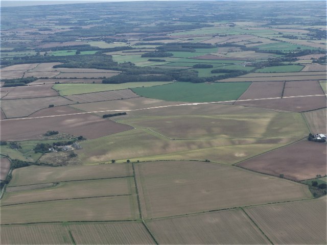
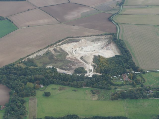
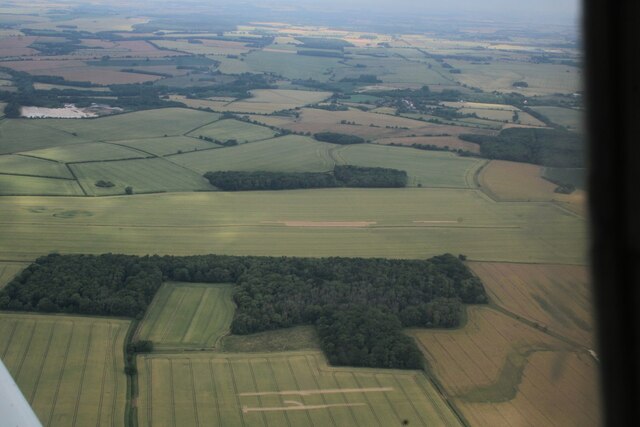
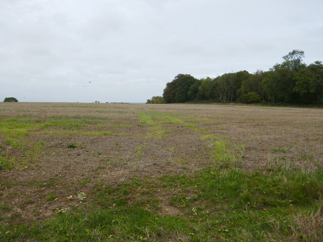
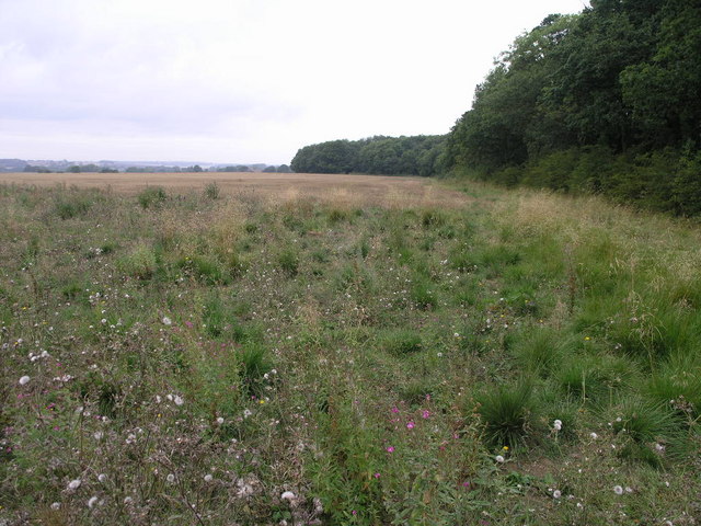
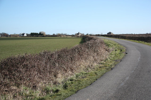
Haugh is a civil parish located in the county of Lincolnshire, England. Situated near the town of Alford, Haugh covers an area of approximately 5.4 square kilometers. The parish is mostly rural, encompassing a mix of farmland, meadows, and small pockets of woodland.

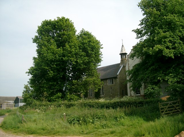
The village of Haugh itself is a small settlement with a population of around 200 residents. It is characterized by its picturesque countryside surroundings and tranquil atmosphere. The village features a number of traditional stone cottages and a few modern houses, providing a mix of architectural styles.

Despite its small size, Haugh offers a range of amenities to its residents. These include a village hall, which acts as a community center and hosts various events and gatherings throughout the year. There is also a local pub, serving as a social hub for residents and visitors alike.

The parish is well-connected to nearby towns and cities, with good transport links via road and public transportation. The village is within easy reach of Alford, which offers a wider range of services, including shops, schools, and healthcare facilities.

Haugh is surrounded by beautiful countryside, making it a popular destination for outdoor enthusiasts. The area is known for its scenic walking and cycling routes, providing opportunities to explore the natural beauty of the Lincolnshire countryside.

Overall, Haugh is a charming and peaceful civil parish, offering a close-knit community and a picturesque rural setting.

If you have any feedback on the listing, please let us know in the comments section below.
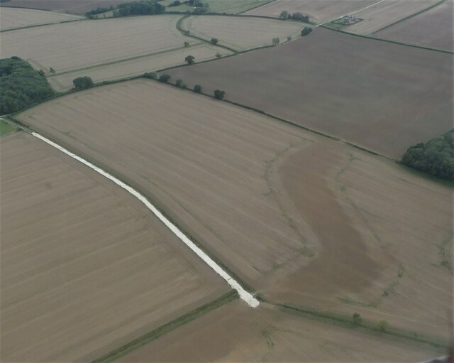
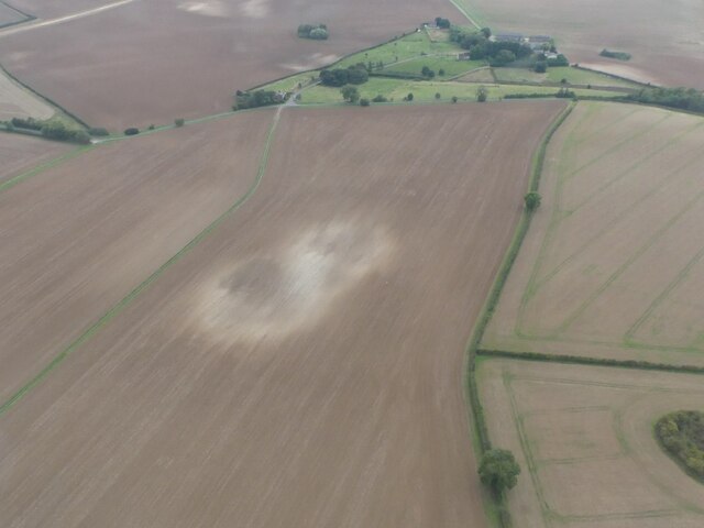
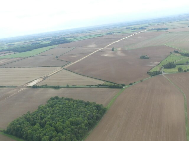
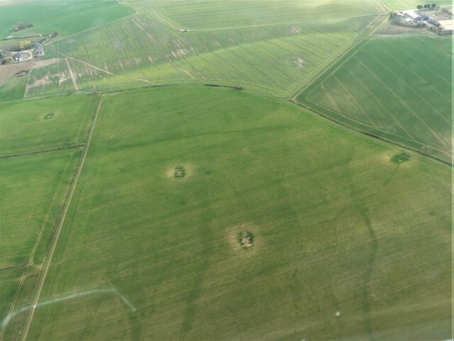
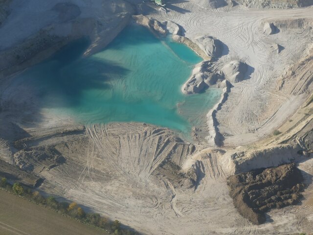
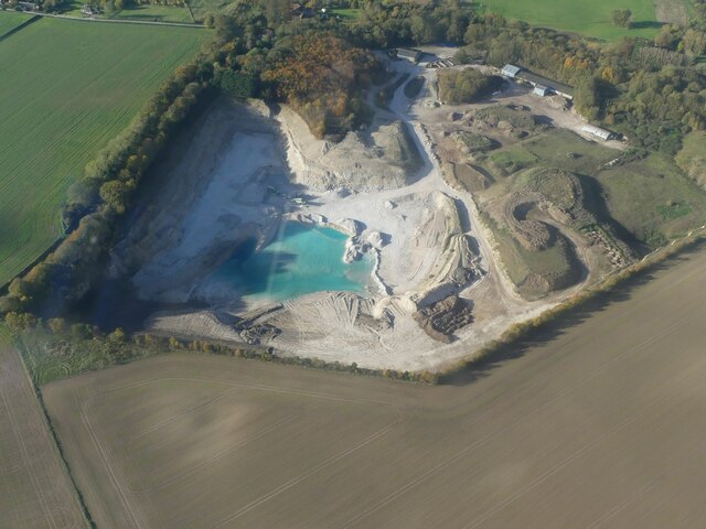
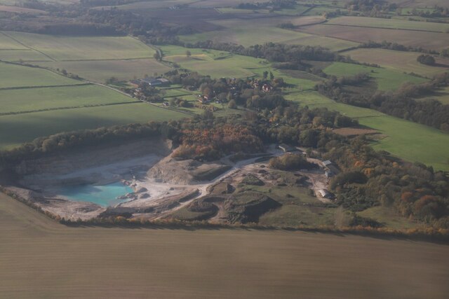
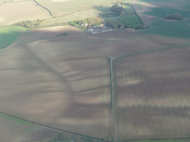
Haugh Images

Images are sourced within 2km of 53.260384/0.122272 or Grid Reference TF4175. Thanks to Geograph Open Source API. All images are credited.

Chalk Quarry at South Thoresby: aerial 2021 See <span class="nowrap"><a title="https://gbmsouththoresbyquarry.co.uk/" rel="nofollow ugc noopener" href="https://gbmsouththoresbyquarry.co.uk/">Link</a><img style="margin-left:2px;" alt="External link" title="External link - shift click to open in new window" src="https://s1.geograph.org.uk/img/external.png" width="10" height="10"/></span>
Chalk Quarry at South Thoresby: aerial 2021
See LinkExternal link
Limestone quarry at South Thorseby: aerial 2022
Field entrance near Ulceby Lodge
Waterway near the Old Gatehouse, SE of Swinn Wood: aerial 2022
Dog-leg in Viking Link cable near Rigsby Wood: aerial 2022 Viking Link is a 1,400 MW HVDC submarine power cable under construction between the United Kingdom and Denmark. See: <span class="nowrap"><a title="https://en.wikipedia.org/wiki/Viking_Link" rel="nofollow ugc noopener" href="https://en.wikipedia.org/wiki/Viking_Link">Link</a><img style="margin-left:2px;" alt="External link" title="External link - shift click to open in new window" src="https://s1.geograph.org.uk/img/external.png" width="10" height="10"/></span>

It comes onshore south of Sandilands (alongside Boy Grift Drain) and is to finish at Bicker Fen substation.

See also <a href="https://www.geograph.org.uk/photo/7292244">TF4275 : Viking Link cable installation SE of Haugh: aerial 2022 </a>, <a href="https://www.geograph.org.uk/photo/6818182">TF3674 : Red Hill, Brinkhill and Viking Link cable run from Sandilands: aerial 2021</a> and <a href="https://www.geograph.org.uk/photo/6818114">TF3973 : Viking Link cable run passing Ulceby cross: aerial 2021</a>.
Dog-leg in Viking Link cable near Rigsby Wood: aerial 2022
Viking Link is a 1,400 MW HVDC submarine power cable under construction between the United Kingdom and Denmark. See: LinkExternal link It comes onshore south of Sandilands (alongside Boy Grift Drain) and is to finish at Bicker Fen substation. See also TF4275 : Viking Link cable installation SE of Haugh: aerial 2022 , TF3674 : Red Hill, Brinkhill and Viking Link cable run from Sandilands: aerial 2021 and TF3973 : Viking Link cable run passing Ulceby cross: aerial 2021.
Soil Mark on field NE of Haugh: aerial 2022
Viking Link cable installation SE of Haugh: aerial 2022  Viking Link is a 1,400 MW HVDC submarine power cable under construction between the United Kingdom and Denmark. See: <span class="nowrap"><a title="https://en.wikipedia.org/wiki/Viking_Link" rel="nofollow ugc noopener" href="https://en.wikipedia.org/wiki/Viking_Link">Link</a><img style="margin-left:2px;" alt="External link" title="External link - shift click to open in new window" src="https://s1.geograph.org.uk/img/external.png" width="10" height="10"/></span>

It comes onshore south of Sandilands (alongside Boy Grift Drain) and is to finish at Bicker Fen substation.

See also <a href="https://www.geograph.org.uk/photo/7292237">TF4276 : Dog-leg in Viking Link cable near Rigsby Wood: aerial 2022</a>, <a href="https://www.geograph.org.uk/photo/6818182">TF3674 : Red Hill, Brinkhill and Viking Link cable run from Sandilands: aerial 2021</a> and <a href="https://www.geograph.org.uk/photo/6818114">TF3973 : Viking Link cable run passing Ulceby cross: aerial 2021</a>.
Viking Link cable installation SE of Haugh: aerial 2022
Viking Link is a 1,400 MW HVDC submarine power cable under construction between the United Kingdom and Denmark. See: LinkExternal link It comes onshore south of Sandilands (alongside Boy Grift Drain) and is to finish at Bicker Fen substation. See also TF4276 : Dog-leg in Viking Link cable near Rigsby Wood: aerial 2022, TF3674 : Red Hill, Brinkhill and Viking Link cable run from Sandilands: aerial 2021 and TF3973 : Viking Link cable run passing Ulceby cross: aerial 2021.
Former chalk pits on field at Haugh: aerial 2023
Rigsby Wood: aerial 2023
Stubble field and Bogle Holt
Limestone Quarry and blue lagoon, South Thoresby: aerial 2023 (1) For explanation of blue quarry lakes see <span class="nowrap"><a title="https://en.wikipedia.org/wiki/Harpur_Hill_Quarry?fbclid=IwAR1DY23Hhe8TIAJmY2HvKQ5dHJKsoxANUsRKbHyBVxfBFYG_gAuKwgvre2k" rel="nofollow ugc noopener" href="https://en.wikipedia.org/wiki/Harpur_Hill_Quarry?fbclid=IwAR1DY23Hhe8TIAJmY2HvKQ5dHJKsoxANUsRKbHyBVxfBFYG_gAuKwgvre2k">Link</a><img style="margin-left:2px;" alt="External link" title="External link - shift click to open in new window" src="https://s1.geograph.org.uk/img/external.png" width="10" height="10"/></span>
Limestone Quarry and blue lagoon, South Thoresby: aerial 2023 (1)
For explanation of blue quarry lakes see LinkExternal link
Limestone Quarry and blue lagoon, South Thoresby: aerial 2023 (2) For explanation of blue quarry lakes see <span class="nowrap"><a title="https://en.wikipedia.org/wiki/Harpur_Hill_Quarry?fbclid=IwAR1DY23Hhe8TIAJmY2HvKQ5dHJKsoxANUsRKbHyBVxfBFYG_gAuKwgvre2k" rel="nofollow ugc noopener" href="https://en.wikipedia.org/wiki/Harpur_Hill_Quarry?fbclid=IwAR1DY23Hhe8TIAJmY2HvKQ5dHJKsoxANUsRKbHyBVxfBFYG_gAuKwgvre2k">Link</a><img style="margin-left:2px;" alt="External link" title="External link - shift click to open in new window" src="https://s1.geograph.org.uk/img/external.png" width="10" height="10"/></span>
Limestone Quarry and blue lagoon, South Thoresby: aerial 2023 (2)
For explanation of blue quarry lakes see LinkExternal link
Limestone Quarry and blue lagoon, South Thoresby: aerial 2023 (3) For explanation of blue quarry lakes see <span class="nowrap"><a title="https://en.wikipedia.org/wiki/Harpur_Hill_Quarry?fbclid=IwAR1DY23Hhe8TIAJmY2HvKQ5dHJKsoxANUsRKbHyBVxfBFYG_gAuKwgvre2k" rel="nofollow ugc noopener" href="https://en.wikipedia.org/wiki/Harpur_Hill_Quarry?fbclid=IwAR1DY23Hhe8TIAJmY2HvKQ5dHJKsoxANUsRKbHyBVxfBFYG_gAuKwgvre2k">Link</a><img style="margin-left:2px;" alt="External link" title="External link - shift click to open in new window" src="https://s1.geograph.org.uk/img/external.png" width="10" height="10"/></span>
Limestone Quarry and blue lagoon, South Thoresby: aerial 2023 (3)
For explanation of blue quarry lakes see LinkExternal link
Limestone Quarry and blue lagoon, South Thoresby: aerial 2023 (4) For explanation of blue quarry lakes see <span class="nowrap"><a title="https://en.wikipedia.org/wiki/Harpur_Hill_Quarry?fbclid=IwAR1DY23Hhe8TIAJmY2HvKQ5dHJKsoxANUsRKbHyBVxfBFYG_gAuKwgvre2k" rel="nofollow ugc noopener" href="https://en.wikipedia.org/wiki/Harpur_Hill_Quarry?fbclid=IwAR1DY23Hhe8TIAJmY2HvKQ5dHJKsoxANUsRKbHyBVxfBFYG_gAuKwgvre2k">Link</a><img style="margin-left:2px;" alt="External link" title="External link - shift click to open in new window" src="https://s1.geograph.org.uk/img/external.png" width="10" height="10"/></span>
Limestone Quarry and blue lagoon, South Thoresby: aerial 2023 (4)
For explanation of blue quarry lakes see LinkExternal link
Limestone Quarry and blue lagoon, South Thoresby: aerial 2023 (4)  For explanation of blue quarry lakes see <span class="nowrap"><a title="https://en.wikipedia.org/wiki/Harpur_Hill_Quarry?fbclid=IwAR1DY23Hhe8TIAJmY2HvKQ5dHJKsoxANUsRKbHyBVxfBFYG_gAuKwgvre2k" rel="nofollow ugc noopener" href="https://en.wikipedia.org/wiki/Harpur_Hill_Quarry?fbclid=IwAR1DY23Hhe8TIAJmY2HvKQ5dHJKsoxANUsRKbHyBVxfBFYG_gAuKwgvre2k">Link</a><img style="margin-left:2px;" alt="External link" title="External link - shift click to open in new window" src="https://s1.geograph.org.uk/img/external.png" width="10" height="10"/></span>
Limestone Quarry and blue lagoon, South Thoresby: aerial 2023 (4)
For explanation of blue quarry lakes see LinkExternal link
Cropmarks on field at Haugh: aerial 2023
Swinn Wood A footpath follows the edge of Swinn Wood on its way to nearby Aby.
Swinn Wood
A footpath follows the edge of Swinn Wood on its way to nearby Aby.
Show me another place!

Haugh is located at Grid Ref: TF4175 (Lat: 53.260384, Lng: 0.122272)

Administrative County: Lincolnshire

District: East Lindsey

Police Authority: Lincolnshire

What 3 Words

///custodial.official.complains. Near Alford, Lincolnshire

Nearby Locations

Haugh

Related Wikis

Haugh, Lincolnshire

Haugh is a hamlet and civil parish in the East Lindsey district of Lincolnshire, England. It is situated about 2 miles (3 km) south-west from the town...

Rigsby, Lincolnshire

Rigsby is a village and part of the civil parish of Rigsby with Ailby, in the East Lindsey district of Lincolnshire, England. It is situated approximately...

South Thoresby

South Thoresby is a village and civil parish in the East Lindsey district of Lincolnshire, England. It is situated 10 miles (16 km) north-east from Horncastle...

Miles Cross Hill

Miles Cross Hill is a large hill that is the sloping gradient up to the landscape of the Lincolnshire Wolds. As it is the first large hill of the Wolds...

Aby with Greenfield

Aby with Greenfield is a civil parish in the East Lindsey district of Lincolnshire, England. The population of the civil parish at the 2011 Census was...

Driby

Driby is a village and former civil parish, now in the parish of South Thoresby, in the East Lindsey district of Lincolnshire, England. It is situated...

Ailby

Ailby is a hamlet in the East Lindsey district of Lincolnshire, England. It is situated less than 1 mile (1.6 km) north-west from Alford, and forms part...

Aby, Lincolnshire

Aby ( AY-bee) is a village in the East Lindsey district of Lincolnshire, England. It is approximately 30 miles (48 km) east from the city and county town...

Nearby Amenities

Located within 500m of 53.260384,0.122272
Haugh
Is In: Lincolnshire, England, UK
Place: hamlet
Source: Bing
Lat/Long: 53.2621195/0.1209837
Bus Stop
Methodist Church
Naptan AtcoCode: 270000009792
Naptan Bearing: E
Naptan CommonName: Methodist Church
Naptan Indicator: E - bound
Naptan Landmark: Methodist Church
Naptan NaptanCode: linjdwmd
Naptan Street: Haugh Lane
Naptan Verified: no
Source: naptan_import
Lat/Long: 53.2627771/0.124788
Bus Stop
Methodist Church
Naptan AtcoCode: 2700LH003211
Naptan Bearing: W
Naptan CommonName: Methodist Church
Naptan Indicator: W - bound
Naptan Landmark: Methodist Church
Naptan Street: Haugh Lane
Naptan Verified: no
Source: naptan_import
Lat/Long: 53.2626968/0.124754
Gatehouse Cottages
Place: isolated_dwelling
Lat/Long: 53.2625335/0.1247535
The data included in this document is from www.openstreetmap.org. The data is made available under ODbL.

Have you been to Haugh?

Leave your review of Haugh below (or comments, questions and feedback).