Bromley Park
Settlement in Kent
England
Bromley Park
Bromley Park is a charming residential area located in the county of Kent, in southeastern England. Situated on the outskirts of Bromley, a bustling town in Greater London, this peaceful residential estate is highly regarded for its serene atmosphere and natural surroundings.
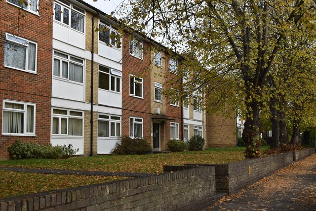
The park boasts a variety of housing options, including detached houses, semi-detached houses, and apartments, making it an attractive location for families, professionals, and retirees alike. The properties within Bromley Park are known for their architectural elegance and modern design, providing residents with comfortable and stylish living spaces.
One of the key highlights of Bromley Park is its close proximity to several green spaces and parks. The area is surrounded by lush greenery, offering residents the opportunity to enjoy tranquil walks, picnics, and outdoor activities. Nearby Jubilee Country Park is a popular destination, boasting over 62 acres of woodland, meadows, and ponds, perfect for nature enthusiasts and those seeking a peaceful retreat.
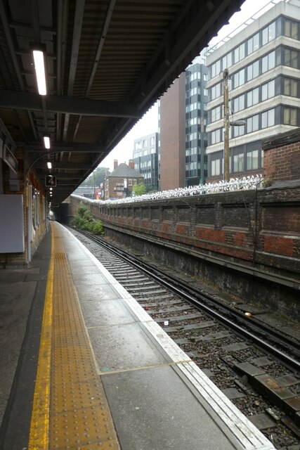
The location of Bromley Park also benefits from excellent transport links. The Bromley South railway station provides regular services to central London, making it an ideal choice for commuters. The area is also well-connected by road, with easy access to major motorways such as the M25 and A21.
In terms of amenities, Bromley Park offers a range of local shops, supermarkets, and restaurants within a short distance. The neighboring town of Bromley provides a wider array of shopping and dining options, as well as entertainment venues, theaters, and sports facilities.
Overall, Bromley Park offers residents a harmonious blend of natural beauty, convenience, and a welcoming community, making it an idyllic place to call home in the picturesque county of Kent.
If you have any feedback on the listing, please let us know in the comments section below.
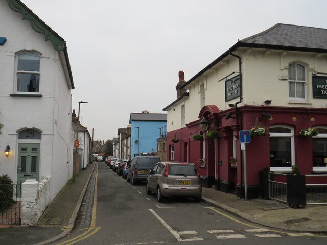
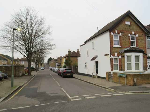
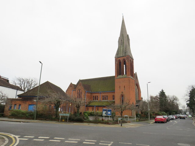
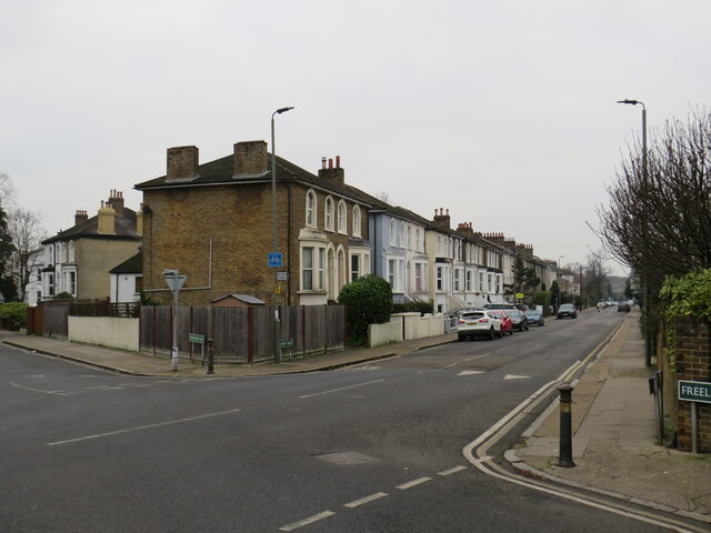
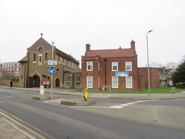
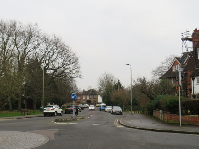
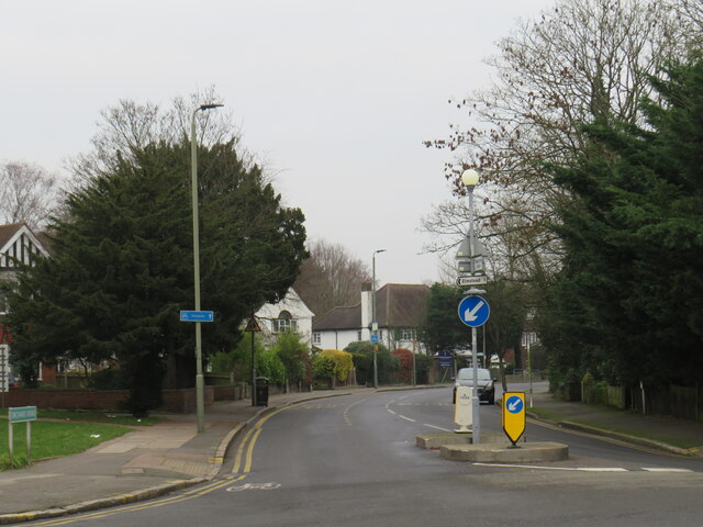
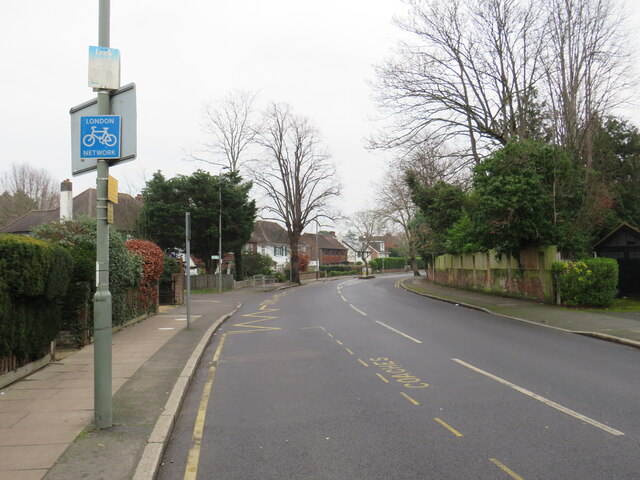
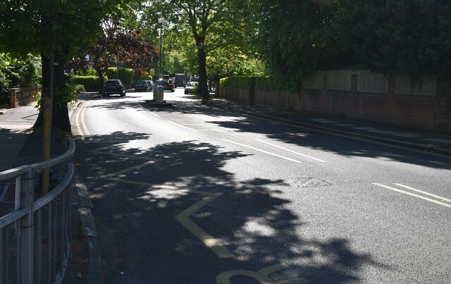
Bromley Park Images
Images are sourced within 2km of 51.411986/0.001187 or Grid Reference TQ3970. Thanks to Geograph Open Source API. All images are credited.


Bromley Park is located at Grid Ref: TQ3970 (Lat: 51.411986, Lng: 0.001187)
Unitary Authority: Bromley
Police Authority: Metropolitan
What 3 Words
///onion.bride.proper. Near Bromley, London
Nearby Locations
Related Wikis

Bromley Reform Synagogue
Bromley Reform Synagogue is a synagogue in Shortlands, Bromley in the London Borough of Bromley; it serves the areas of south east London and north west...

Shortlands railway station
Shortlands railway station is in Shortlands, in the London Borough of Bromley in south London. It serves the southwest part of Bromley, and is 10 miles...
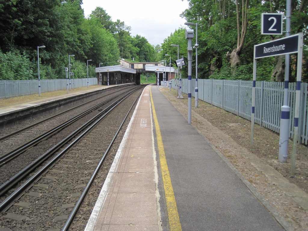
Ravensbourne railway station
Ravensbourne railway station is in the London Borough of Bromley in south London. The station adjoins Beckenham Place Park and serves the north edge of...

Bishop Challoner School
Bishop Challoner School is an English independent coeducational Roman Catholic day school in Shortlands, Greater London, for children aged three to eighteen...

Bromley and Sheppard's Colleges
Bromley and Sheppard's Colleges are located in Bromley and today provide accommodation for retired clergy and their dependents. Bromley College provides...
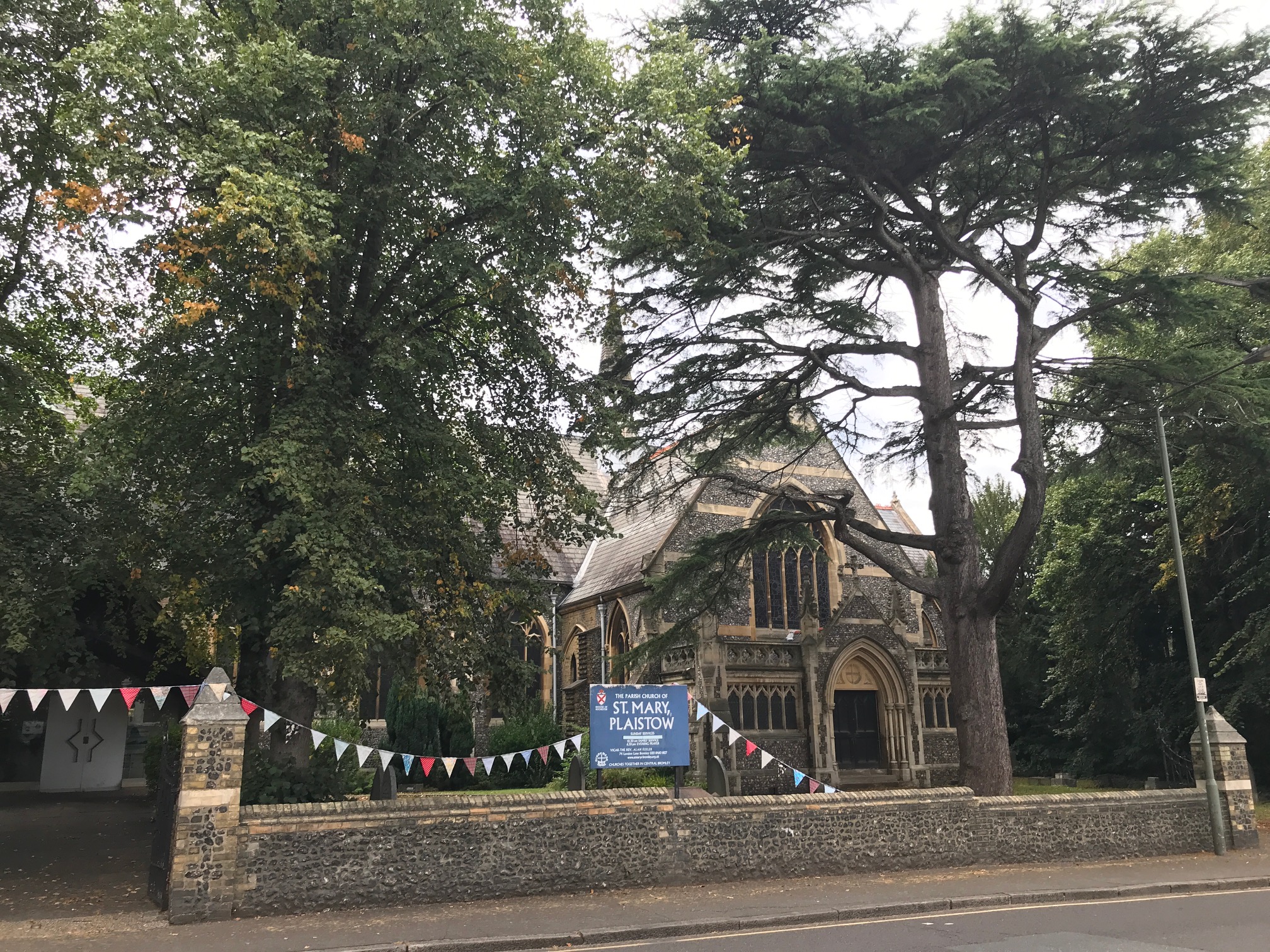
St Mary's Church, Bromley
St Mary's Church, Bromley is a Church of England parish church in what was the village of Plaistow in Bromley. It was consecrated in 1863 and enlarged...
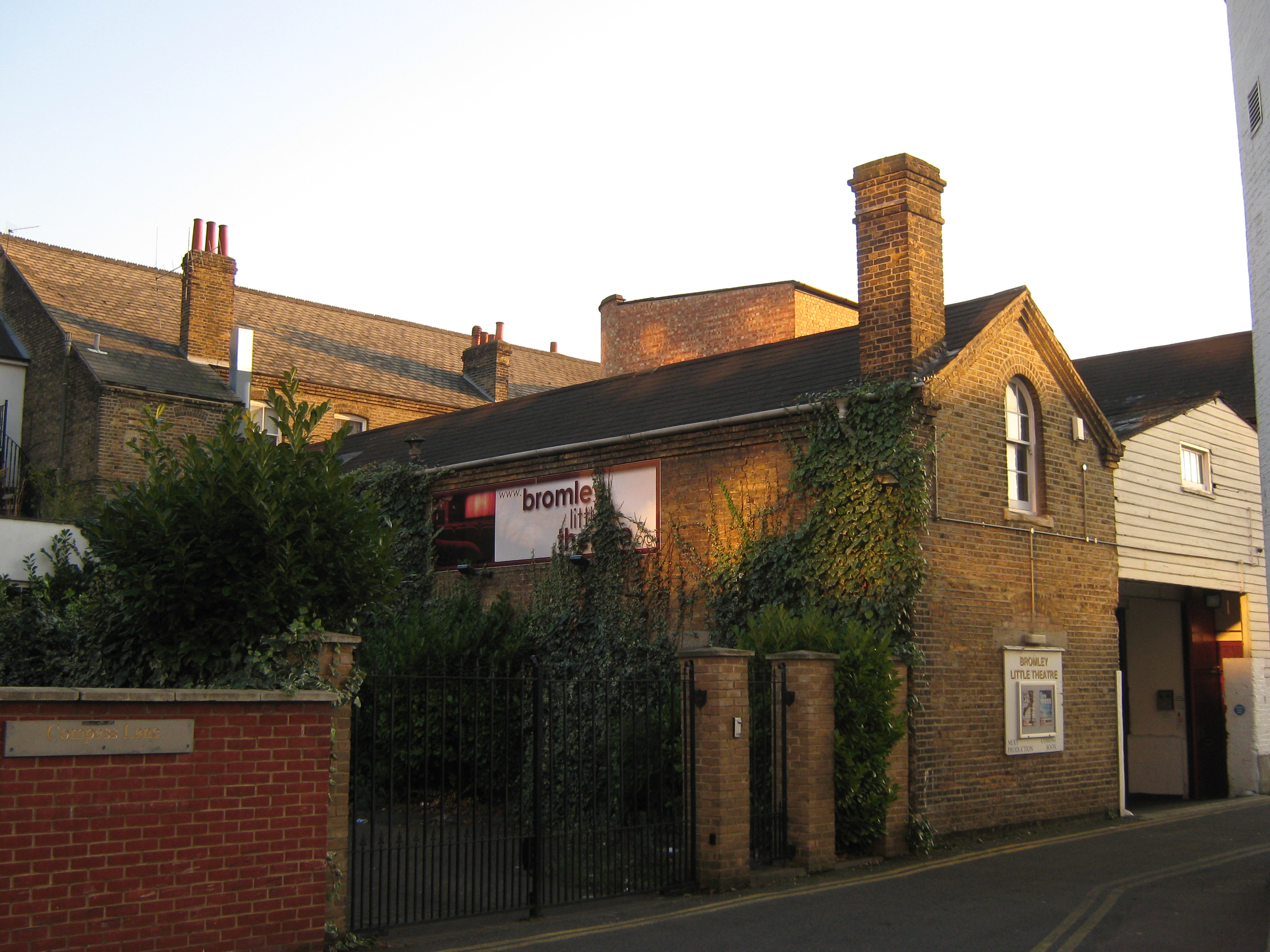
Bromley Little Theatre
Bromley Little Theatre is a community theatre in Bromley in the London Borough of Bromley, England and is a member of the Little Theatre Guild of Great...
Plaistow, Bromley
Plaistow ( PLAHST-oh, PLAST-oh, or PLAYST-oh) is an area of south-east London located in the London Borough of Bromley and, until 1965, in the historic...
Nearby Amenities
Located within 500m of 51.411986,0.001187Have you been to Bromley Park?
Leave your review of Bromley Park below (or comments, questions and feedback).