Bromley Green

Settlement in Kent Ashford

England

Bromley Green

Birchett Wood looking towards Shadoxhurst
Birchett Wood looking towards Shadoxhurst Credit: Ron Lee

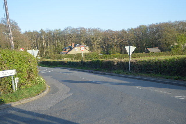
Bromley Green is a small village located in the county of Kent, in southeastern England. Situated roughly 5 miles south of Ashford, the village is nestled in a rural setting surrounded by picturesque countryside. It falls within the civil parish of Kingsnorth.

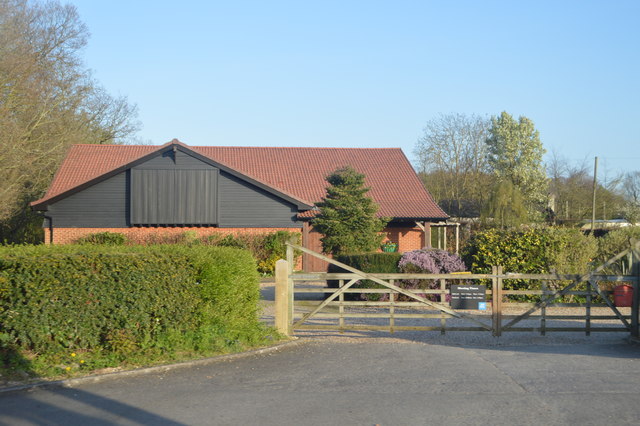
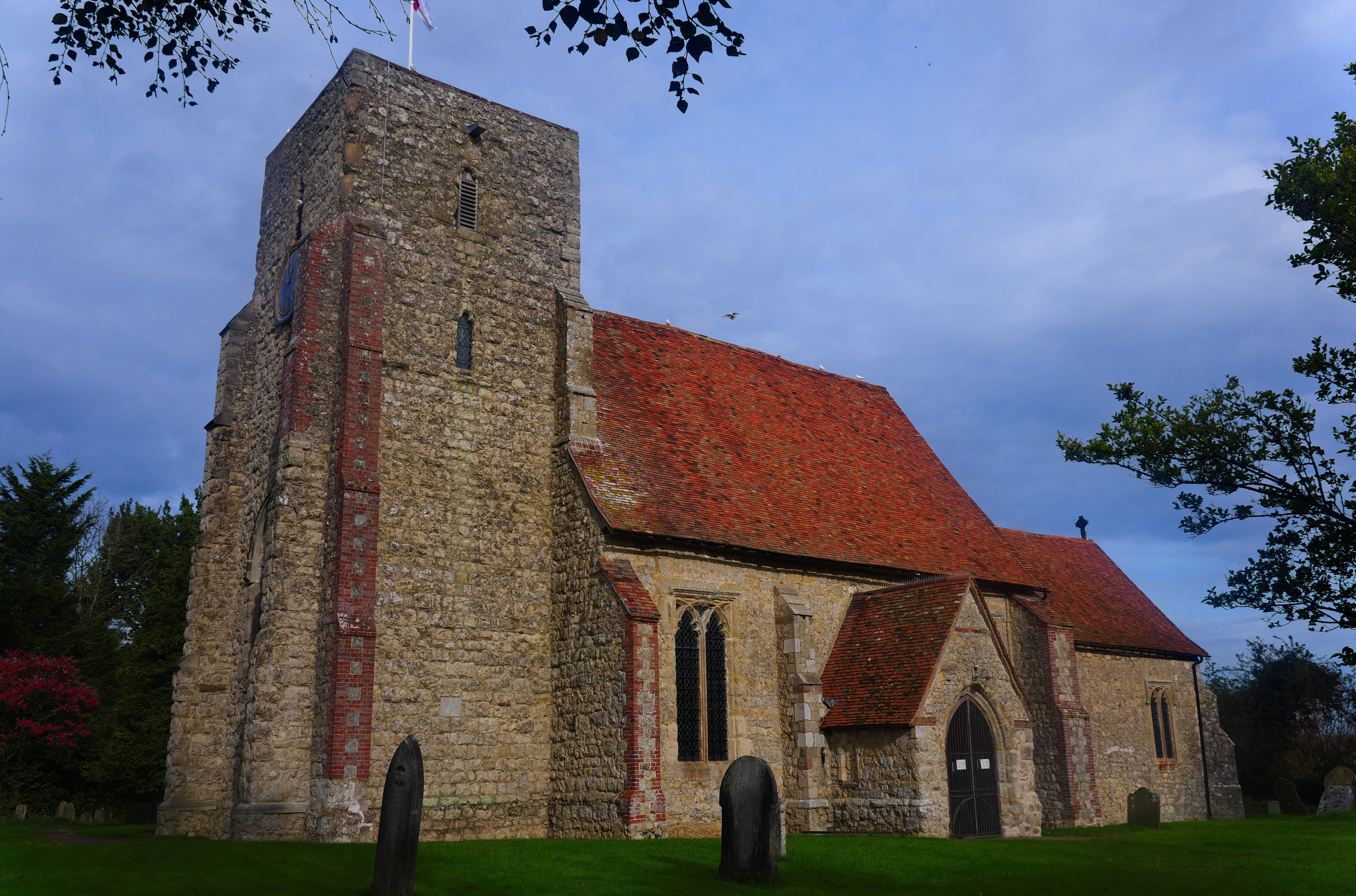
The village boasts a rich history, with evidence of human habitation dating back to the Roman era. Today, it retains its charming character and offers a peaceful and tranquil environment for its residents. The village primarily consists of traditional Kentish architecture, with a scattering of historic buildings and quaint cottages.

Despite its small size, Bromley Green offers a range of amenities to cater to the needs of its community. These include a local pub, a village hall, and a primary school. The village hall serves as a hub for a variety of social and recreational activities, providing residents with a space to gather and engage with one another.

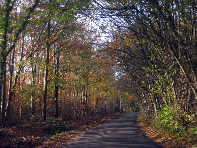
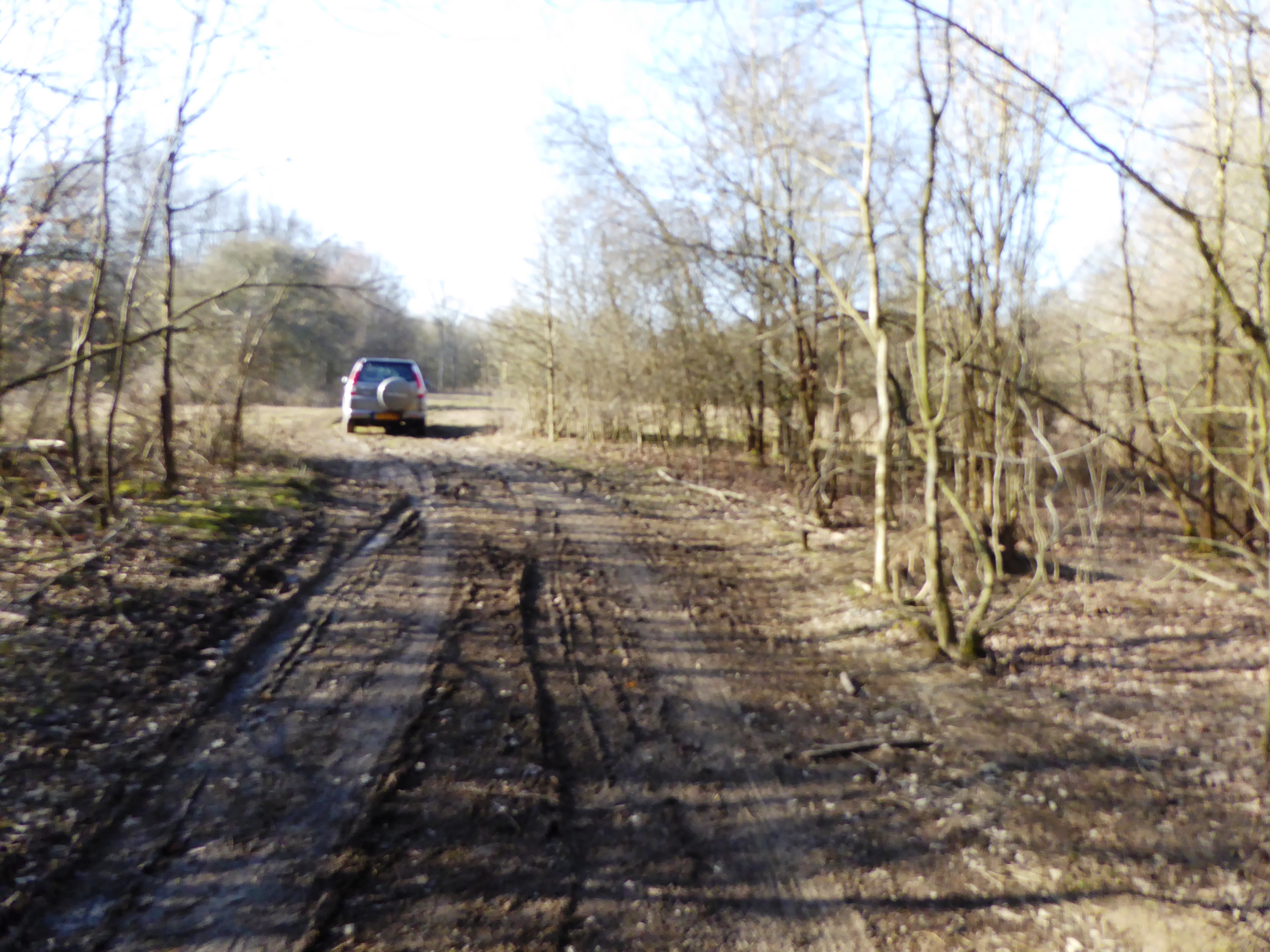
Surrounded by stunning countryside, Bromley Green is the ideal location for those seeking a rural lifestyle. The village is surrounded by open fields, woodlands, and meandering footpaths, offering ample opportunities for outdoor activities such as walking, cycling, and horse riding. The nearby East Stour River also provides opportunities for fishing and wildlife spotting.

Bromley Green's proximity to Ashford allows residents to easily access a wider range of amenities and services, including shopping centers, restaurants, and leisure facilities. The village is also well-connected to the wider region, with good road and rail links to London and other major cities.

Overall, Bromley Green offers a peaceful and idyllic setting, making it an attractive place to live for those seeking a rural lifestyle within easy reach of urban conveniences.

If you have any feedback on the listing, please let us know in the comments section below.

Bromley Green Images

Images are sourced within 2km of 51.096577/0.842571 or Grid Reference TQ9936. Thanks to Geograph Open Source API. All images are credited.

Birchett Wood looking towards Shadoxhurst
Ordnance Survey Flush Bracket 2848 This can be found on the wall of a private dwelling at St Thomas Cross.
For more detail see : <span class="nowrap"><a title="http://www.bench-marks.org.uk/bm11996" rel="nofollow ugc noopener" href="http://www.bench-marks.org.uk/bm11996">Link</a><img style="margin-left:2px;" alt="External link" title="External link - shift click to open in new window" src="https://s1.geograph.org.uk/img/external.png" width="10" height="10"/></span>
Ordnance Survey Flush Bracket 2848
This can be found on the wall of a private dwelling at St Thomas Cross. For more detail see : LinkExternal link
Cross Roads at St Thomas Cross Looking south-westward.
Cross Roads at St Thomas Cross
Looking south-westward.
Tree by Ashford Rd
Tree by Ashford Rd
Wooded pond
Wooded pond
Capel Rd
Capel Rd
by Ashford Rd
by Ashford Rd
Farmland by Ashford Rd
Dead tree
Dead tree
Field by Ashford Rd
Field by Ashford Rd
Field near Capel Wood
House, Bromley Green
By Ashford Rd
By Ashford Rd
Sheep grazing
Sheep grazing
Bromley Green Rd
Bromley Green Rd
On Hamstreet Rd
On Hamstreet Rd
Forty Acre Wood
Forty Acre Wood
Show me another place!

Bromley Green is located at Grid Ref: TQ9936 (Lat: 51.096577, Lng: 0.842571)

Administrative County: Kent

District: Ashford

Police Authority: Kent

What 3 Words

///haystack.shells.computers. Near Shadoxhurst, Kent

Nearby Locations

Capel Wood Bromley Green

Related Wikis

Bromley Green

Bromley Green is a hamlet near Ashford in Kent, England.

Kennington F.C.

Kennington Football Club is a football club based in the Kennington suburb of Ashford in Kent, England. They are currently members of the Southern Counties...

Ashford United F.C.

Ashford United F.C. are an English football club based in Ashford, Kent. The 'new' United was formed in 2011, resurrecting the name used by the town's...

Orlestone Forest

Orlestone Forest is a 347.6-hectare (859-acre) biological Site of Special Scientific Interest south of Ashford in Kent. It is a Nature Conservation Review...

Shadoxhurst

Shadoxhurst () is a civil parish and a village on the remnant forest the Kent Weald, near Ashford in Kent, England between the Greensand Ridge and Romney...

Stubbs Cross

Stubbs Cross is a hamlet in the civil parish of Kingsnorth near Ashford in Kent, England. The area runs from a cross road at Ashford Road that leads to...

Alex Farm Pastures

Alex Farm Pastures is a 4.5-hectare (11-acre) biological Site of Special Scientific Interest south of Shadoxhurst in Kent.This site has unimproved neutral...

Kingsnorth

Kingsnorth is a village and civil parish in the Borough of Ashford in Kent, England. The civil parish adjoins the town of Ashford. == Features == The Greensand...

Nearby Amenities

Located within 500m of 51.096577,0.842571
Bus Stop
Crossroads
Fixme: Can someone confirm whether or not busses stop here?
Flag: no
Naptan AtcoCode: 2400A037390A
Naptan Bearing: SW
Naptan BusStopType: CUS
Naptan CommonName: Crossroads
Naptan Indicator: SW-bound
Naptan Landmark: Bromley Green Road
Naptan NaptanCode: kntdpagt
Naptan ShortCommonName: Bromley Grn X Roads
Naptan Street: Hamstreet Road
Naptan Verified: no
Public Transport: platform
Ref: kntdpagt
Source: naptan_import
Source Date: 2018-04-16T10:41:00
Lat/Long: 51.0968404/0.8429326
Bus Stop
Crossroads
Fixme: Can someone confirm whether or not busses stop here?
Flag: no
Naptan AtcoCode: 2400A037400A
Naptan Bearing: NE
Naptan BusStopType: CUS
Naptan CommonName: Crossroads
Naptan Indicator: NE-bound
Naptan Landmark: Hamstreet Road
Naptan NaptanCode: kntdpagw
Naptan ShortCommonName: Bromley Grn X Roads
Naptan Street: Bromley Green Road
Naptan Verified: no
Public Transport: platform
Ref: kntdpagw
Source: naptan_import
Source Date: 2018-04-16T10:40:00
Lat/Long: 51.0968646/0.842677
Post Box
Postal Code: TN26
Ref: TN26 201
Source: survey
Lat/Long: 51.0987642/0.8449304
Generator Method: photovoltaic
Generator Output Electricity: yes
Generator Source: solar
Generator Type: solar_photovoltaic_panel
Location: roof
Power: generator
Lat/Long: 51.0958919/0.8462021
Generator Method: photovoltaic
Generator Output Electricity: yes
Generator Source: solar
Generator Type: solar_photovoltaic_panel
Location: roof
Power: generator
Lat/Long: 51.0959458/0.8462048
Generator Method: photovoltaic
Generator Output Electricity: yes
Generator Source: solar
Generator Type: solar_photovoltaic_panel
Location: roof
Power: generator
Lat/Long: 51.1002444/0.8464985
Generator Method: photovoltaic
Generator Output Electricity: yes
Generator Source: solar
Generator Type: solar_photovoltaic_panel
Location: roof
Power: generator
Lat/Long: 51.0994477/0.8460572
Generator Method: photovoltaic
Generator Output Electricity: yes
Generator Source: solar
Generator Type: solar_photovoltaic_panel
Location: roof
Power: generator
Lat/Long: 51.0987807/0.8456066
Generator Method: photovoltaic
Generator Output Electricity: yes
Generator Solar Modules: 18
Generator Source: solar
Generator Type: solar_photovoltaic_panel
Location: roof
Power: generator
Lat/Long: 51.0978677/0.8397004
Generator Method: photovoltaic
Generator Output Electricity: yes
Generator Solar Modules: 14
Generator Source: solar
Generator Type: solar_photovoltaic_panel
Location: roof
Power: generator
Lat/Long: 51.0985516/0.8399793
Generator Method: photovoltaic
Generator Output Electricity: yes
Generator Source: solar
Generator Type: solar_photovoltaic_panel
Location: roof
Power: generator
Lat/Long: 51.0994064/0.8392471
The data included in this document is from www.openstreetmap.org. The data is made available under ODbL.

Have you been to Bromley Green?

Leave your review of Bromley Green below (or comments, questions and feedback).