Hameringham

Civil Parish in Lincolnshire East Lindsey

England

Hameringham

Merebalk Lane A bridleway. This appears as Merebank Lane on some OS maps (though Merebalk on others). This is almost certainly incorrect. There is no evidence of a bank here. A balk in Lincolnshire dialect is a path between fields, which this is.
Merebalk Lane Credit: Jonathan Thacker

Hameringham is a civil parish located in the district of East Lindsey, in the county of Lincolnshire, England. It is situated approximately 5 miles northeast of the market town of Horncastle. The parish covers an area of around 4.5 square miles and has a population of about 250 residents.

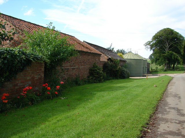
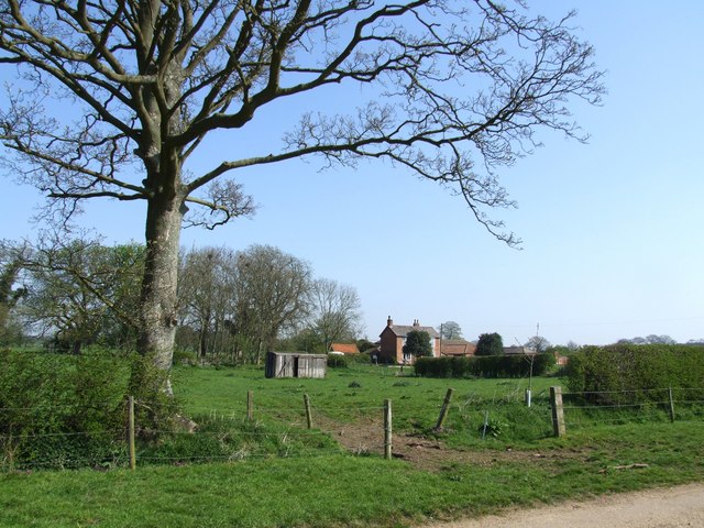
The village of Hameringham itself is a small and charming settlement with a rural character. It is surrounded by picturesque countryside, offering beautiful views and a tranquil atmosphere. The parish is predominantly agricultural, with farming being the main occupation of the local community.

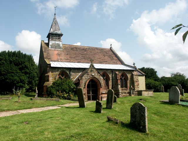
Historically, Hameringham was mentioned in the Domesday Book in 1086 as "Hamerincham." The village has a rich heritage, with several historic buildings and landmarks. St. Andrew's Church, a Grade I listed building, is the main architectural attraction in the area. Dating back to the 12th century, the church features a Norman tower and an impressive interior.

In terms of amenities, Hameringham has limited facilities. There is no shops or schools located within the village, so residents typically rely on nearby towns for their daily needs. However, this lack of urban infrastructure contributes to the area's peaceful and unspoiled ambiance.

Hameringham is a delightful and idyllic civil parish, offering a tranquil lifestyle in a rural setting. With its historical charm, beautiful landscapes, and friendly community, it is an attractive destination for those seeking a peaceful retreat in the heart of Lincolnshire.

If you have any feedback on the listing, please let us know in the comments section below.
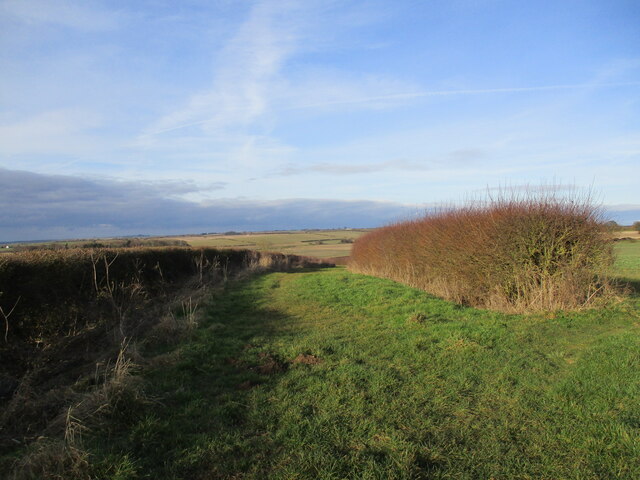
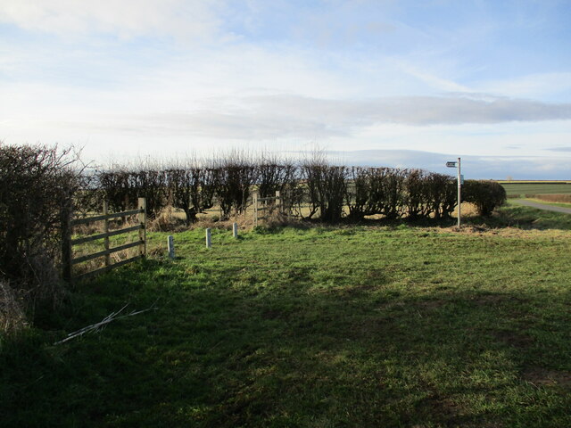
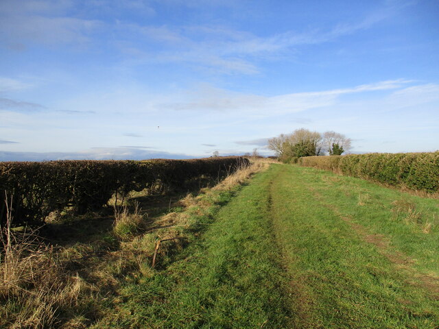
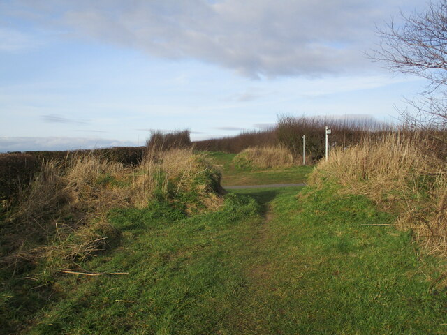
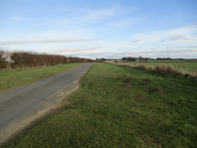
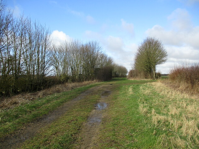
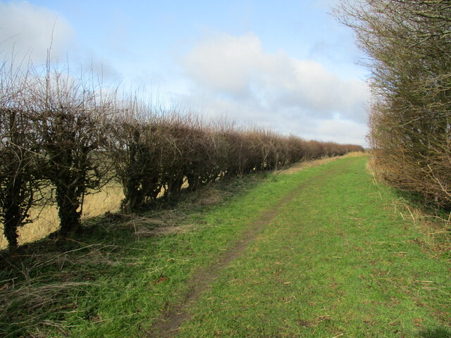
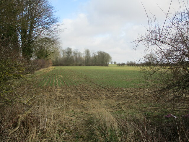
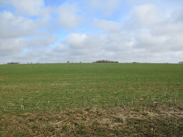
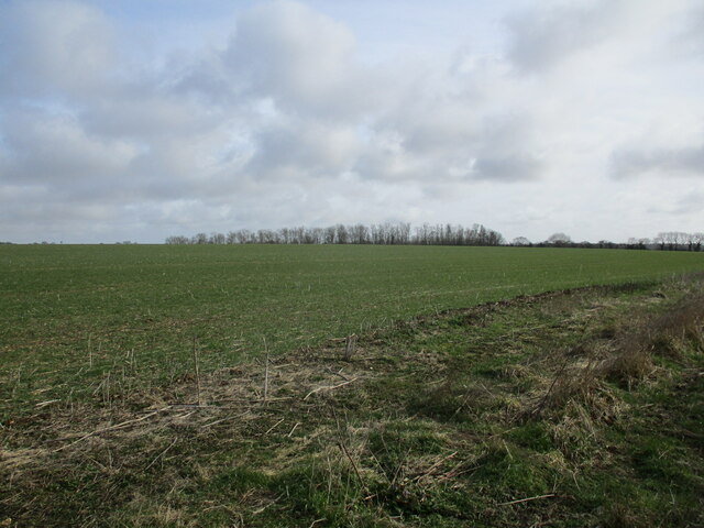
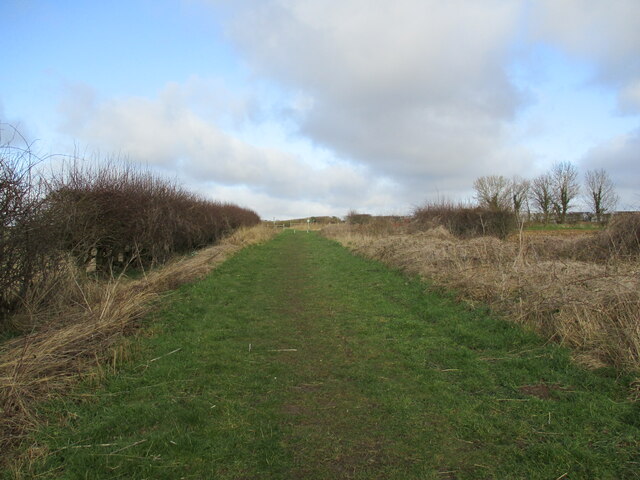
Hameringham Images

Images are sourced within 2km of 53.181748/-0.045614 or Grid Reference TF3066. Thanks to Geograph Open Source API. All images are credited.

Merebalk Lane A bridleway. This appears as Merebank Lane on some OS maps (though Merebalk on others). This is almost certainly incorrect. There is no evidence of a bank here. A balk in Lincolnshire dialect is a path between fields, which this is.
Merebalk Lane
A bridleway. This appears as Merebank Lane on some OS maps (though Merebalk on others). This is almost certainly incorrect. There is no evidence of a bank here. A balk in Lincolnshire dialect is a path between fields, which this is.
Ploughed field near Glebe Farm
The end of Holme Wood Lane
Little Merebalk Lane A bridleway.
Little Merebalk Lane
A bridleway.
Crossing the lane between Mareham on the Hill and Hameringham Taken from Little Merebalk Lane looking to Merebalk Lane on the other side of the road.
Merebalk Lane appears as Merebank Lane on some OS maps (though Merebalk on others). This is almost certainly incorrect. There is no evidence of a bank here. A balk in Lincolnshire dialect is a path between fields, which this is.
Crossing the lane between Mareham on the Hill and Hameringham
Taken from Little Merebalk Lane looking to Merebalk Lane on the other side of the road. Merebalk Lane appears as Merebank Lane on some OS maps (though Merebalk on others). This is almost certainly incorrect. There is no evidence of a bank here. A balk in Lincolnshire dialect is a path between fields, which this is.
Lane to Hameringham
Lane to Hameringham
Merebalk Lane This appears as Merebank Lane on some OS maps (though Merebalk on others). This is almost certainly incorrect. There is no evidence of a bank here. A balk in Lincolnshire dialect is a path between fields, which this is.
Merebalk Lane
This appears as Merebank Lane on some OS maps (though Merebalk on others). This is almost certainly incorrect. There is no evidence of a bank here. A balk in Lincolnshire dialect is a path between fields, which this is.
Autumn sown crop Mareham on the Hill in the distance.
Autumn sown crop
Mareham on the Hill in the distance.
Merebalk Lane approaching Scrafield Lane This appears as Merebank Lane on some OS maps (though Merebalk on others). This is almost certainly incorrect. There is no evidence of a bank here. A balk in Lincolnshire dialect is a path between fields, which this is.
Merebalk Lane approaching Scrafield Lane
This appears as Merebank Lane on some OS maps (though Merebalk on others). This is almost certainly incorrect. There is no evidence of a bank here. A balk in Lincolnshire dialect is a path between fields, which this is.
The north end of Merebalk Lane The sign prohibiting motor vehicles is facing the wrong way.
This appears as Merebank Lane on some OS maps (though Merebalk on others). This is almost certainly incorrect. There is no evidence of a bank here. A balk in Lincolnshire dialect is a path between fields, which this is.
The north end of Merebalk Lane
The sign prohibiting motor vehicles is facing the wrong way. This appears as Merebank Lane on some OS maps (though Merebalk on others). This is almost certainly incorrect. There is no evidence of a bank here. A balk in Lincolnshire dialect is a path between fields, which this is.
Holme Wood Lane A bridleway.
Holme Wood Lane
A bridleway.
Holme Wood Lane A bridleway.
Holme Wood Lane
A bridleway.
Autumn sown crop and Larch Plantation
Autumn sown crop near Claxby Pluckacre The Rookery just showing above the horizon.
Autumn sown crop near Claxby Pluckacre
The Rookery just showing above the horizon.
Autumn sown crop and Larch Plantation
Holme Wood Lane A bridleway.
Holme Wood Lane
A bridleway.
Wind pattern on a field SW of Asgarby: aerial 2018
Ridge and furrow and former enclosure boundaries at Low Hameringham Grange: aerial 2020
Show me another place!

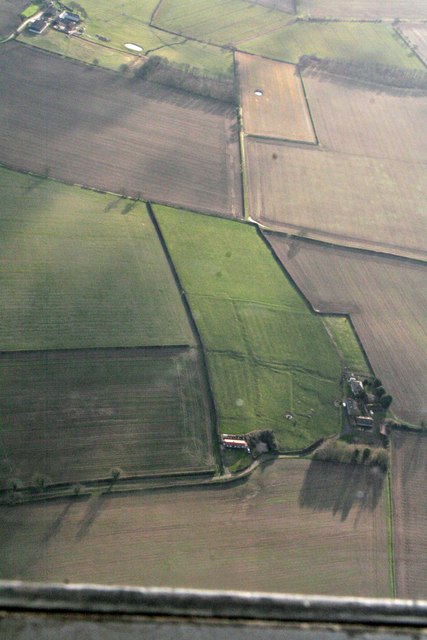
Hameringham is located at Grid Ref: TF3066 (Lat: 53.181748, Lng: -0.045614)

Administrative County: Lincolnshire

District: East Lindsey

Police Authority: Lincolnshire

What 3 Words

///shunted.releasing.strides. Near Horncastle, Lincolnshire

Related Wikis

Hameringham

Hameringham is an extended village in the East Lindsey district of Lincolnshire, England. It is situated 4 miles (6.4 km) south-east from the town of Horncastle...
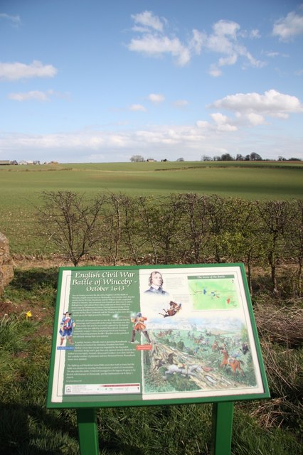
Winceby

Winceby is a village in the civil parish of Lusby with Winceby, in the East Lindsey district of Lincolnshire, England. It is in the Lincolnshire Wolds...

Scrafield

Scrafield is a hamlet and a deserted medieval village (DMV) in the civil parish of Mareham on the Hill, in the East Lindsey district, in the county of...

Claxby Pluckacre

Claxby Pluckacre is a hamlet in the East Lindsey district of Lincolnshire, England. It is situated approximately 5 miles (8.0 km) south-east from the town...

Nearby Amenities

Located within 500m of 53.181748,-0.045614
Power: pole
Source: Bing
Lat/Long: 53.1785634/-0.0505609
Power: pole
Source: Bing
Lat/Long: 53.1793781/-0.0498222
Power: pole
Source: Bing
Lat/Long: 53.1811142/-0.0482464
Power: pole
Source: Bing
Lat/Long: 53.1802333/-0.0490417
Power: pole
Source: Bing
Lat/Long: 53.1834845/-0.0460934
Power: pole
Source: Bing
Lat/Long: 53.1860127/-0.0437881
Power: pole
Source: Bing
Lat/Long: 53.185173/-0.0445556
Power: pole
Source: Bing
Lat/Long: 53.1826599/-0.0436553
Power: pole
Source: Bing
Lat/Long: 53.1820121/-0.0473795
Power: pole
Lat/Long: 53.186204/-0.0446736
Power: pole
Source: Bing
Lat/Long: 53.1843059/-0.0453294
Power: pole
Source: Bing
Lat/Long: 53.1826905/-0.0468099
Power: pole
Source: Bing
Lat/Long: 53.183073/-0.0448583
The Beeches
Place: farm
Source: Bing
Lat/Long: 53.182168/-0.0426432
Barrier: stile
Source: Bing
Lat/Long: 53.1783603/-0.0460453
Brook House
Place: isolated_dwelling
Source: Bing
Lat/Long: 53.1789557/-0.0514741
The data included in this document is from www.openstreetmap.org. The data is made available under ODbL.

Have you been to Hameringham?

Leave your review of Hameringham below (or comments, questions and feedback).