Halton East
Civil Parish in Yorkshire Craven
England
Halton East
Halton East is a civil parish located in the county of Yorkshire, England. Situated in the district of Ryedale, it covers an area of approximately 6 square kilometers. The village of Halton East lies in the southern part of the parish, surrounded by picturesque countryside.
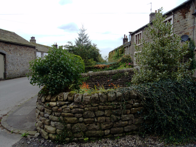
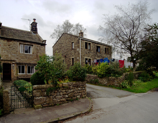
The village itself is small and has a population of around 150 people. It is known for its charming stone houses and traditional architecture, which gives it a quaint and timeless appearance. The parish also boasts a historic church, St. Wilfrid's, which dates back to the 12th century.
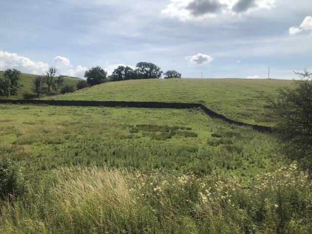
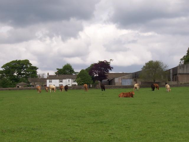
The village is primarily residential, with a few small businesses and amenities catering to the local population. It offers a peaceful and rural lifestyle, with rolling hills and farmland surrounding the area. The beautiful landscape makes it an ideal location for outdoor activities such as hiking and cycling.
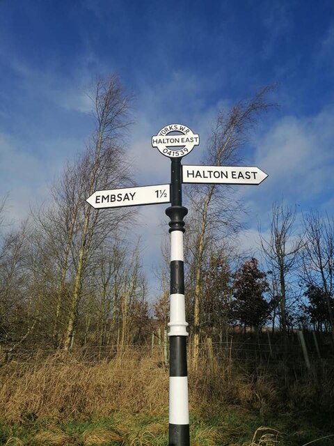
Halton East is well-connected to nearby towns and cities, with good transportation links. The A169 road runs through the parish, providing easy access to places like Pickering and Malton. The city of York is also within a reasonable commuting distance.
Overall, Halton East exudes a tranquil and idyllic charm, making it an attractive place for those seeking a peaceful rural lifestyle in the stunning countryside of Yorkshire.
If you have any feedback on the listing, please let us know in the comments section below.
Halton East Images
Images are sourced within 2km of 53.989414/-1.941644 or Grid Reference SE0354. Thanks to Geograph Open Source API. All images are credited.


Halton East is located at Grid Ref: SE0354 (Lat: 53.989414, Lng: -1.941644)
Division: West Riding
Administrative County: North Yorkshire
District: Craven
Police Authority: North Yorkshire
What 3 Words
///riders.says.clapper. Near Embsay, North Yorkshire
Nearby Locations
Related Wikis
Halton East
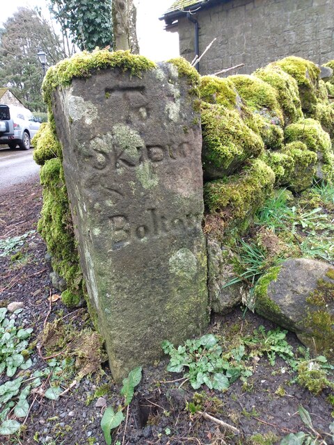
Halton East is a village and civil parish in North Yorkshire, England, 3.5 miles (5.6 km) east of Skipton. The population of the parish was estimated...
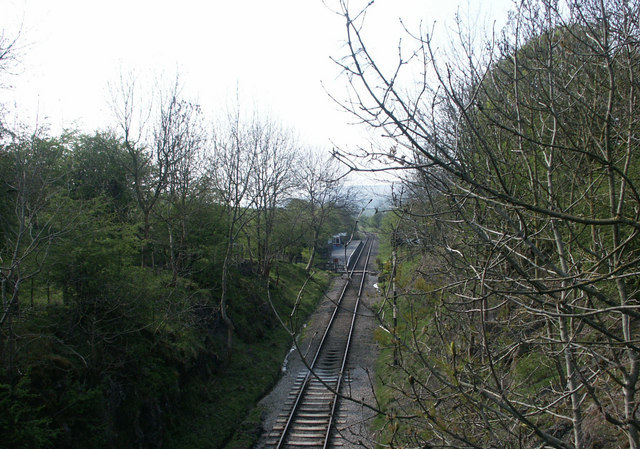
Holywell Halt railway station
Holywell Halt railway station is on the Embsay and Bolton Abbey Steam Railway in North Yorkshire, England. == History == The halt was the first extension...

Embsay with Eastby
Embsay with Eastby is a civil parish and electoral ward in the Craven district of North Yorkshire, England. Its main settlements are the village of Embsay...

Draughton, North Yorkshire
Draughton (pronounced Draftun) is a village and civil parish, population 240, in the Craven district of North Yorkshire, England. It is situated 3 miles...

Bolton Abbey railway station
Bolton Abbey railway station is on the Embsay and Bolton Abbey Steam Railway. It serves Bolton Abbey, although it is closer to Bolton Bridge, in North...

Barden, Craven
Barden is a civil parish in the Craven district of North Yorkshire, England. It consists of the hamlet of Drebley and a few scattered houses in Wharfedale...

Barden Tower
Barden Tower is a ruined building in the Parish of Barden, in Wharfedale, North Yorkshire, England. The tower was used as a hunting lodge in the 15th and...

Embsay Priory
Embsay Priory was a medieval monastic house in North Yorkshire, England. The priory was founded in 1120 in Embsay at Wharfedale. It was dedicated to...
Nearby Amenities
Located within 500m of 53.989414,-1.941644Have you been to Halton East?
Leave your review of Halton East below (or comments, questions and feedback).