Halton Green
Downs, Moorland in Yorkshire Craven
England
Halton Green
Halton Green is a picturesque village located in the county of Yorkshire, England. Nestled amidst the stunning landscape of Yorkshire Downs and Moorland, this charming village offers a tranquil and idyllic setting for residents and visitors alike.
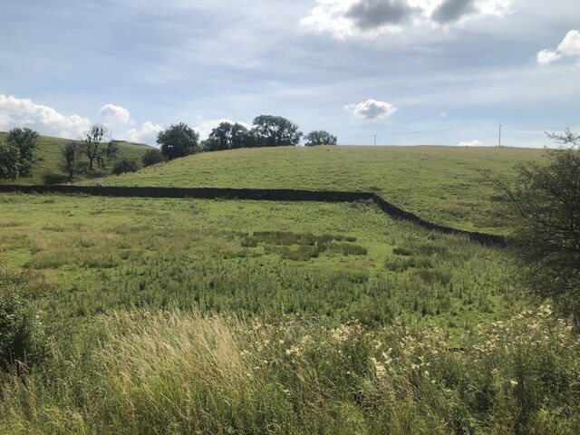
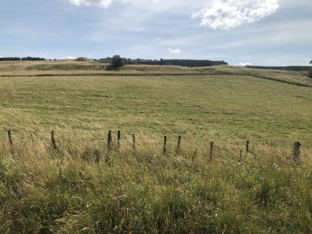
The village is known for its breathtaking natural beauty, with rolling hills, lush greenery, and panoramic views of the surrounding countryside. The Yorkshire Downs, stretching as far as the eye can see, provide an ideal backdrop for outdoor activities such as hiking, cycling, and horseback riding. The Moorland, characterized by its expansive heather-covered landscapes, adds to the village's unique charm.
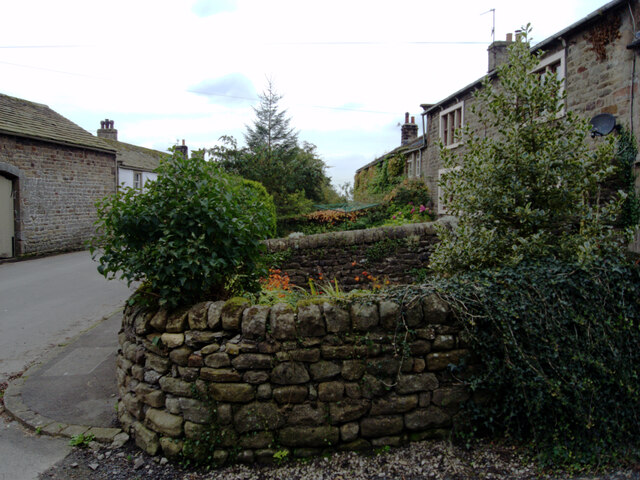
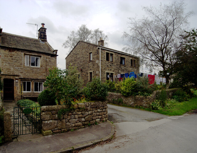
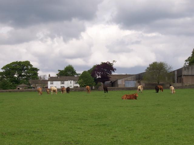
Halton Green itself is a close-knit community, with a small population that cherishes its rural heritage. The village is home to a number of historic buildings, including a quaint church and several traditional stone cottages. The locals take great pride in maintaining the village's traditional character and preserving its historic charm.
Despite its rural setting, Halton Green benefits from excellent transport links, with nearby road connections providing easy access to larger towns and cities in the region. This allows residents to enjoy the peacefulness of village life while still having the convenience of urban amenities within reach.
In summary, Halton Green is a picturesque village nestled in the heart of Yorkshire Downs and Moorland. With its stunning natural beauty, rich history, and close-knit community, it offers a perfect escape for those seeking a peaceful and idyllic countryside retreat.
If you have any feedback on the listing, please let us know in the comments section below.
Halton Green Images
Images are sourced within 2km of 53.986572/-1.9425163 or Grid Reference SE0354. Thanks to Geograph Open Source API. All images are credited.


Halton Green is located at Grid Ref: SE0354 (Lat: 53.986572, Lng: -1.9425163)
Division: West Riding
Administrative County: North Yorkshire
District: Craven
Police Authority: North Yorkshire
What 3 Words
///promises.sprayed.drifters. Near Embsay, North Yorkshire
Nearby Locations
Related Wikis
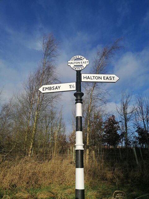
Halton East
Halton East is a village and civil parish in North Yorkshire, England, 3.5 miles (5.6 km) east of Skipton. The population of the parish was estimated...
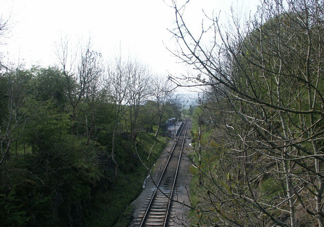
Holywell Halt railway station
Holywell Halt railway station is on the Embsay and Bolton Abbey Steam Railway in North Yorkshire, England. == History == The halt was the first extension...

Draughton, North Yorkshire
Draughton (pronounced Draftun) is a village and civil parish, population 240, in the Craven district of North Yorkshire, England. It is situated 3 miles...

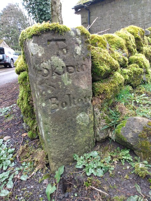
Embsay with Eastby
Embsay with Eastby is a civil parish and electoral ward in the Craven district of North Yorkshire, England. Its main settlements are the village of Embsay...

Bolton Abbey railway station
Bolton Abbey railway station is on the Embsay and Bolton Abbey Steam Railway. It serves Bolton Abbey, although it is closer to Bolton Bridge, in North...

Embsay Priory
Embsay Priory was a medieval monastic house in North Yorkshire, England. The priory was founded in 1120 in Embsay at Wharfedale. It was dedicated to...

Barden, Craven
Barden is a civil parish in the Craven district of North Yorkshire, England. It consists of the hamlet of Drebley and a few scattered houses in Wharfedale...

Barden Tower
Barden Tower is a ruined building in the Parish of Barden, in Wharfedale, North Yorkshire, England. The tower was used as a hunting lodge in the 15th and...
Nearby Amenities
Located within 500m of 53.986572,-1.9425163Have you been to Halton Green?
Leave your review of Halton Green below (or comments, questions and feedback).