Baunton Downs

Downs, Moorland in Gloucestershire Cotswold

England

Baunton Downs

Cirencester Barn. near Calmsden. Currently being converted to housing.
Cirencester Barn. near Calmsden. Credit: Jonathan Billinger

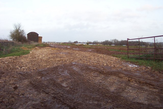
Baunton Downs is a beautiful area of moorland located in Gloucestershire, England. Situated in the Cotswolds, this expansive stretch of land covers approximately 150 acres and is known for its stunning natural beauty and diverse wildlife.

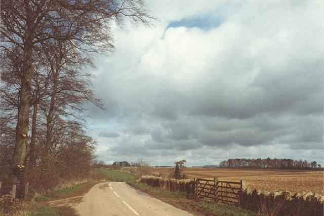
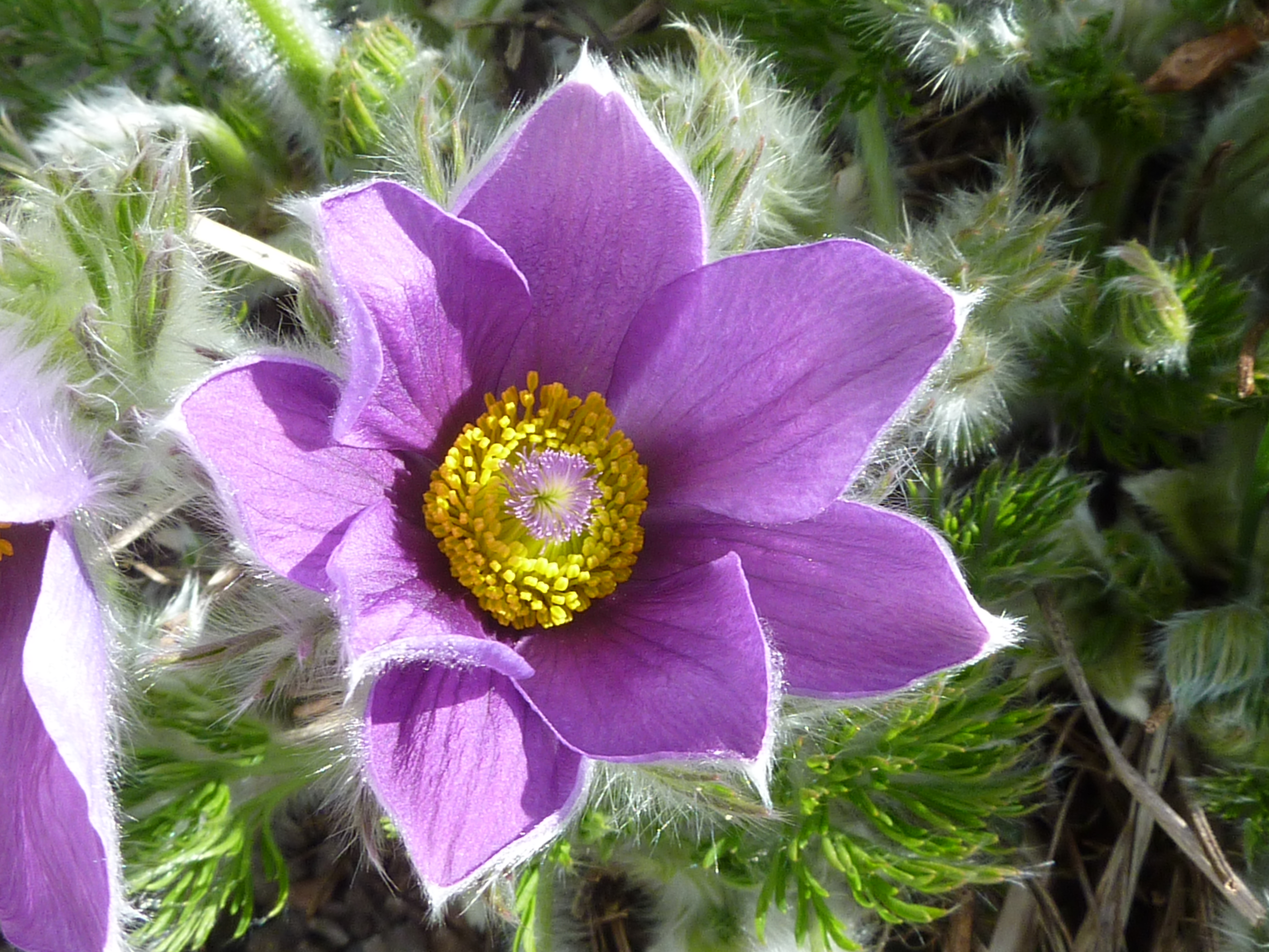
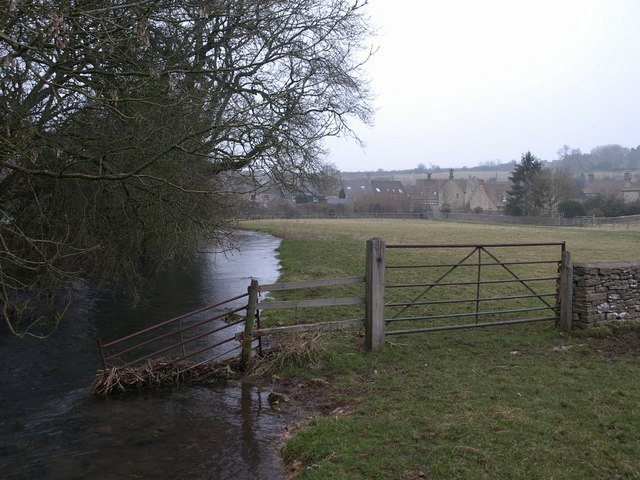
The terrain of Baunton Downs is characterized by rolling hills, open grasslands, and heathland, providing a picturesque landscape for visitors to explore. The area boasts an abundance of native flora and fauna, including various species of wildflowers, grasses, and mosses. These diverse habitats make the downs an ideal location for nature enthusiasts and birdwatchers, as it is home to a wide range of bird species, including skylarks, meadow pipits, and stonechats.

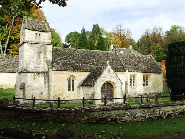
Baunton Downs also holds historical significance, with evidence of human activity dating back centuries. Archaeological finds have uncovered remnants of Iron Age settlements and burial mounds, indicating a long history of human habitation in the area.

The downs offer a variety of recreational activities for visitors to enjoy. Walking and hiking trails crisscross the landscape, allowing for leisurely strolls or more challenging treks. The open spaces are also perfect for picnicking, kite flying, or simply taking in the breathtaking views.

Overall, Baunton Downs is a captivating and ecologically important area in Gloucestershire. Its combination of natural beauty, wildlife diversity, and historical significance make it an appealing destination for both locals and tourists seeking a tranquil escape in the heart of the Cotswolds.

If you have any feedback on the listing, please let us know in the comments section below.

Baunton Downs Images

Images are sourced within 2km of 51.757193/-1.9453045 or Grid Reference SP0306. Thanks to Geograph Open Source API. All images are credited.

Cirencester Barn. near Calmsden. Currently being converted to housing.
Cirencester Barn. near Calmsden.
Currently being converted to housing.
Entrance to Perrot's Brook Farm.
Barn at The Red Sheds Not a red shed in sight!
Barn at The Red Sheds
Not a red shed in sight!
Converted barn at Downs Farm.
Pig farm in the Cotswolds.
Estate track into woodland known as The Sisters.
Approaching a crossroads on the Foss Way.
Gate into The Abbey Estate just off the A429 Beech leaves are on the ground in this late-November view.
Gate into The Abbey Estate just off the A429
Beech leaves are on the ground in this late-November view.
Speed on the Fosse Way Are these operatives installing a new camera? A429 Fosse Way north of Cirencester.
Speed on the Fosse Way
Are these operatives installing a new camera? A429 Fosse Way north of Cirencester.
Part of Abbey Estate
The Whiteway north of Cirencester
Welsh Way over Tiddley Dyke Looking along a stretch of the former Midland & South Western Junction Railway ("Tiddley Dyke") from a bridge carrying a lane named Welsh Way.
Welsh Way over Tiddley Dyke
Looking along a stretch of the former Midland & South Western Junction Railway ("Tiddley Dyke") from a bridge carrying a lane named Welsh Way.
Over The Warren Looking across a field in the direction of The Warren, which is down in the valley.
Over The Warren
Looking across a field in the direction of The Warren, which is down in the valley.
The Warren Looking down into the valley - The Warren.
The Warren
Looking down into the valley - The Warren.
Powerlines near Baunton This is a view north-west as the powerlines change direction in this square. Farmland beneath.
Powerlines near Baunton
This is a view north-west as the powerlines change direction in this square. Farmland beneath.
Minor road near Baunton This is a view east from beneath the powerlines that cross this square. The road appears to be called Welsh Way. The road junction just visible in the distance is in this square.
Minor road near Baunton
This is a view east from beneath the powerlines that cross this square. The road appears to be called Welsh Way. The road junction just visible in the distance is in this square.
River Churn near Perrott's Brook The Churn is officially a tributary of the Thames although it could be argued that at the point where they meet the Thames is a tributary of the Churn as the former is shorter than the latter at that point. Almost invisible is the A435 which offers a quieter albeit slower route to Cheltenham from Cirencester than the A417 dual carriageway.
River Churn near Perrott's Brook
The Churn is officially a tributary of the Thames although it could be argued that at the point where they meet the Thames is a tributary of the Churn as the former is shorter than the latter at that point. Almost invisible is the A435 which offers a quieter albeit slower route to Cheltenham from Cirencester than the A417 dual carriageway.
Welsh Way near Baunton Minor road viewed facing west near The Sisters.
Welsh Way near Baunton
Minor road viewed facing west near The Sisters.
Show me another place!

Baunton Downs is located at Grid Ref: SP0306 (Lat: 51.757193, Lng: -1.9453045)

Administrative County: Gloucestershire

District: Cotswold

Police Authority: Gloucestershire

What 3 Words

///printout.unable.carver. Near Stratton, Gloucestershire

Nearby Locations

Baunton Downs

Related Wikis

Nearby Amenities

Located within 500m of 51.757193,-1.9453045
Baunton Downs
Place: locality
Lat/Long: 51.7568403/-1.9458927
Material: wood
Power: pole
Source: bing
Lat/Long: 51.7577854/-1.9388162
Material: wood
Power: pole
Source: bing
Lat/Long: 51.7575054/-1.9397871
Material: wood
Power: pole
Source: bing
Lat/Long: 51.7572329/-1.9407145
Material: wood
Power: pole
Source: bing
Lat/Long: 51.7571893/-1.9419362
Material: wood
Power: pole
Source: bing
Lat/Long: 51.7571539/-1.9430798
Material: wood
Power: pole
Source: bing
Lat/Long: 51.7571168/-1.9442182
Power: pole
Source: bing
Lat/Long: 51.7570847/-1.9454149
Power: pole
Source: bing
Lat/Long: 51.7570507/-1.9465939
Power: pole
Source: bing
Lat/Long: 51.7570134/-1.9477601
Power: pole
Source: bing
Lat/Long: 51.7569828/-1.9489665
Power: pole
Source: bing
Lat/Long: 51.7569376/-1.9501802
Power: pole
Source: bing
Lat/Long: 51.7567927/-1.9513921
The data included in this document is from www.openstreetmap.org. The data is made available under ODbL.

Have you been to Baunton Downs?

Leave your review of Baunton Downs below (or comments, questions and feedback).