Bromley
Settlement in Kent
England
Bromley
Bromley is a town located in the county of Kent, England. Situated in the southeastern part of the country, it is a significant suburban district within the Greater London area. With a population of approximately 79,000 residents, Bromley is one of the largest towns in the borough of Bromley.
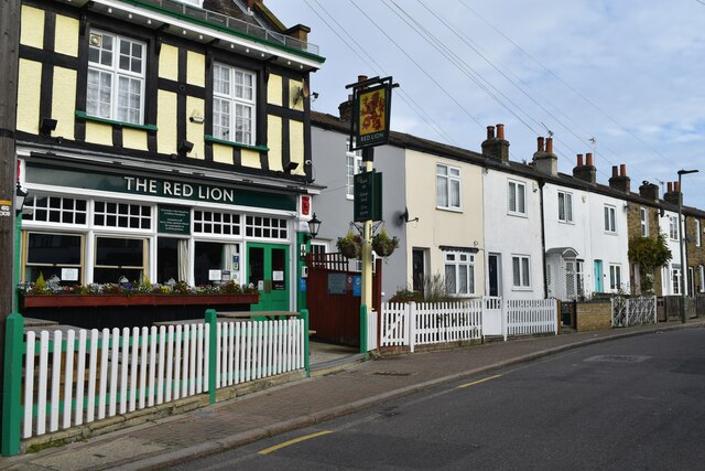
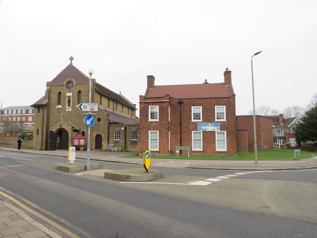
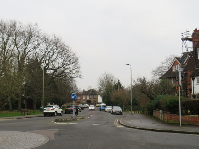
Historically, Bromley was a market town, and evidence of its past can still be seen in the architecture of the High Street, where numerous buildings date back to the 18th century. Today, the town has become a bustling urban center, offering a mix of modern amenities and picturesque green spaces.
Bromley boasts an array of shopping opportunities, with a diverse range of high street stores, independent boutiques, and local markets. The Glades, a large shopping center, is a popular destination for residents and visitors alike.
The town is also home to various cultural and recreational facilities. Churchill Theatre, a renowned venue for performing arts, hosts a wide range of shows, including plays, musicals, and comedy acts. Bromley Museum offers a glimpse into the town's vibrant history, showcasing artifacts and exhibitions. Additionally, Bromley's parks and open spaces, such as Queen's Gardens and Norman Park, provide tranquil environments for outdoor activities and leisurely strolls.
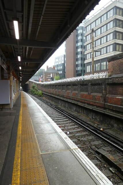
Transportation in Bromley is well-developed, with several railway stations connecting the town to central London and other major cities. The area is served by multiple bus routes, allowing for convenient travel within the town and its surroundings.
Overall, Bromley offers a mix of historical charm, modern amenities, and easy access to both urban and rural landscapes, making it a desirable place to live and visit.
If you have any feedback on the listing, please let us know in the comments section below.
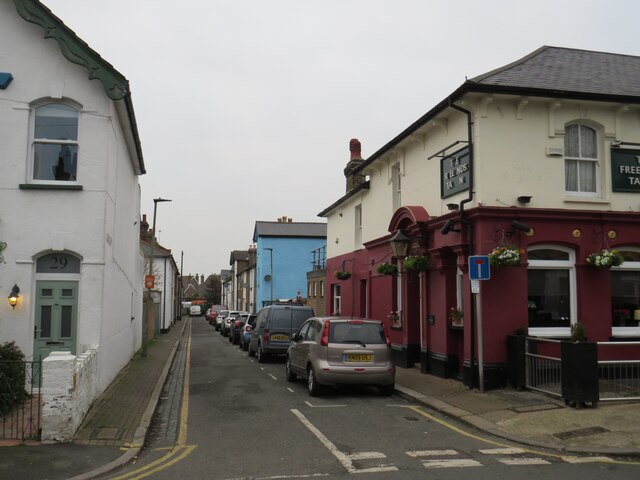
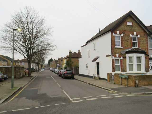
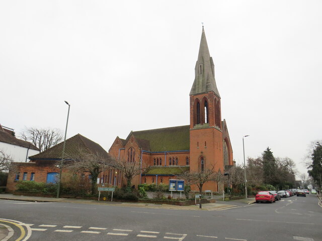
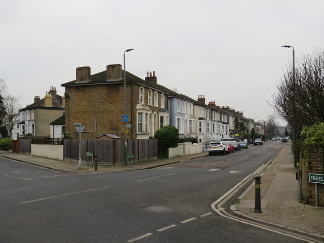
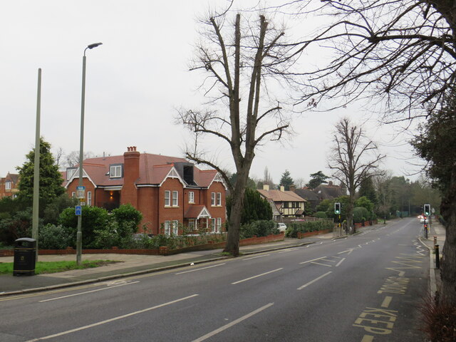
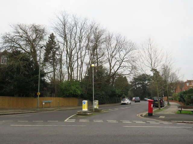
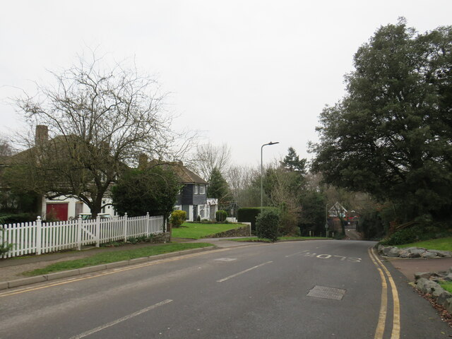
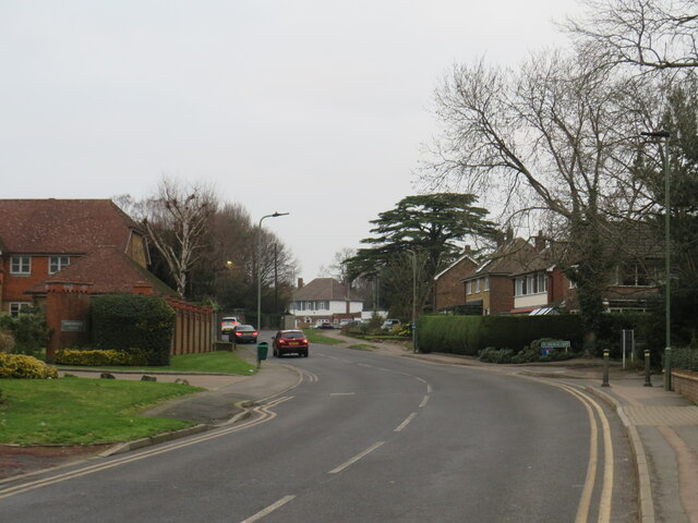
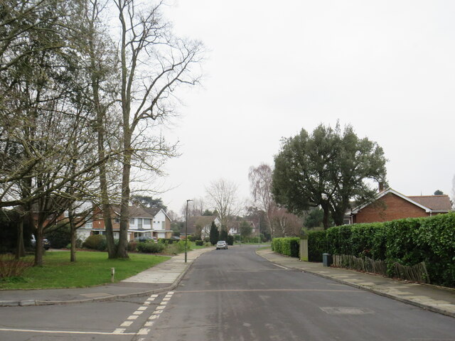
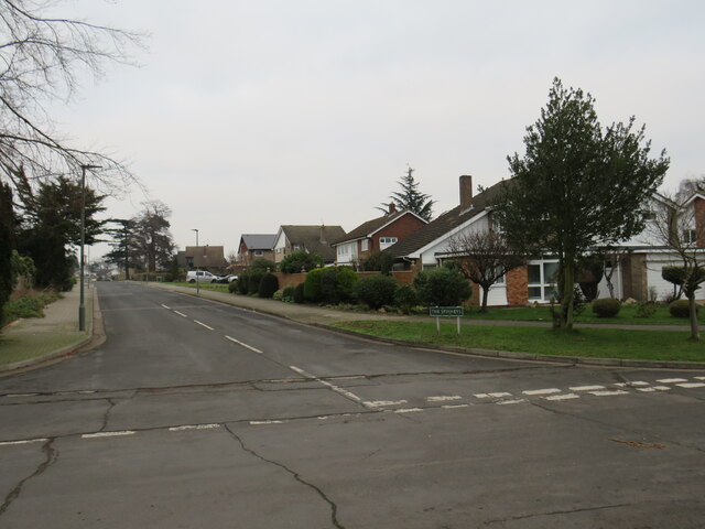
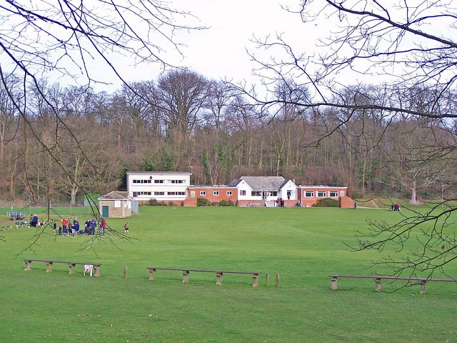
Bromley Images
Images are sourced within 2km of 51.405142/0.025763 or Grid Reference TQ4069. Thanks to Geograph Open Source API. All images are credited.
Bromley is located at Grid Ref: TQ4069 (Lat: 51.405142, Lng: 0.025763)
Unitary Authority: Bromley
Police Authority: Metropolitan
What 3 Words
///miss.tight.hopes. Near Bromley, London
Nearby Locations
Related Wikis
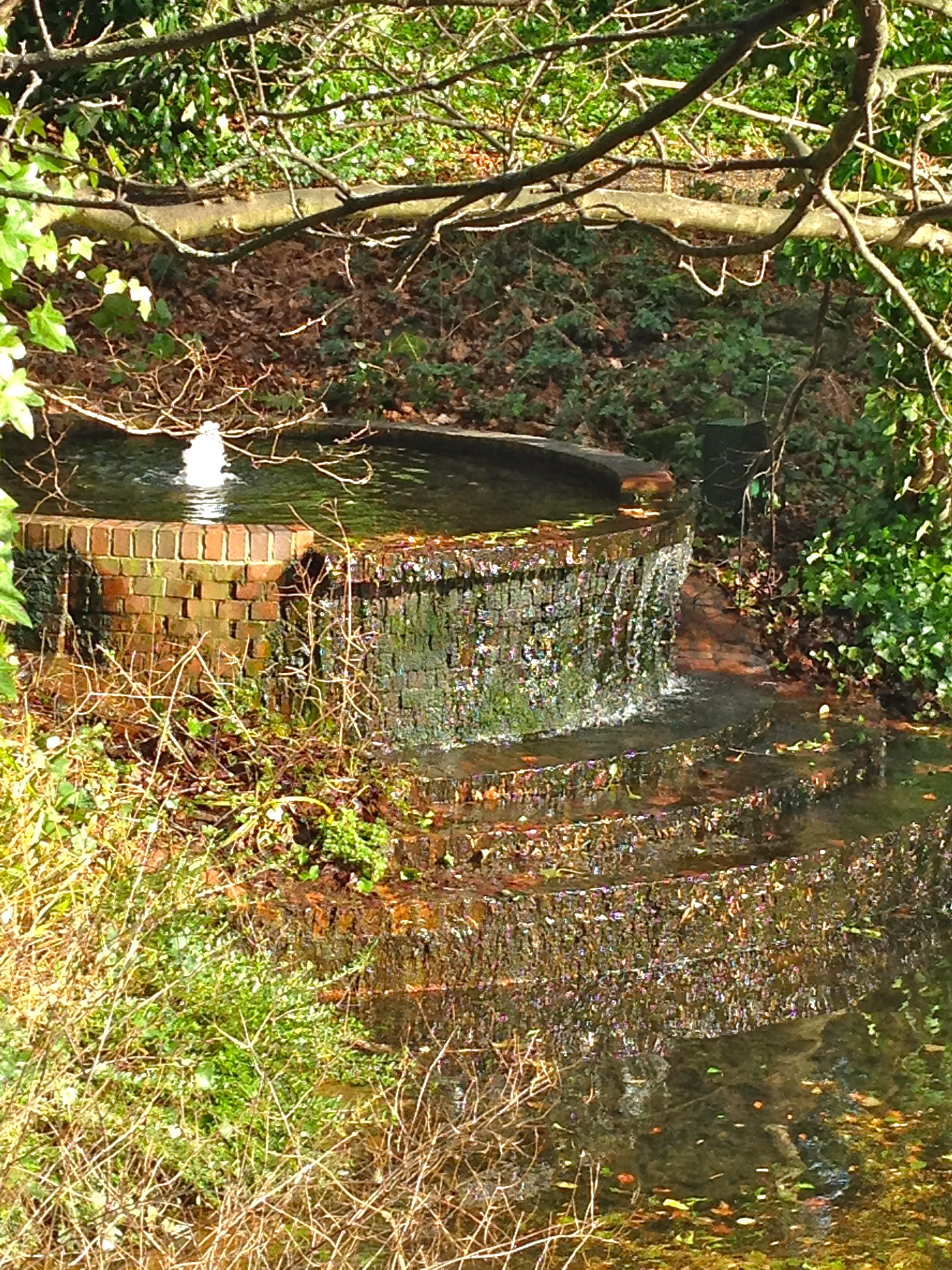
St. Blaise's Well
St Blaise's Well is a holy well located in the grounds of the old Bishop's Palace (residence of Bishops of the see of Rochester until 1845), now part of...

Stockwell College of Education
Stockwell College of Education was a teacher-training college based in South London, England. It was located in Stockwell, South London from 1860 to 1935...

Bromley Palace
Bromley Palace (also known as the Bishop's Palace) is a manor house at Bromley in the London Borough of Bromley. It was the bishop's palace of the Bishops...

Bromley
Bromley is a large town in Greater London, England, within the London Borough of Bromley. It is 9+1⁄2 miles (15 kilometres) southeast of Charing Cross...
Phillip's Field
Phillip's Field was a cricket ground in Bromley in Kent. The only recorded match on the ground was in 1840, when a Kent side played an England XI in the...
White Hart Field
White Hart Field was a cricket ground in Bromley in south-east London. The ground, which was in the county of Kent until 1965, was on an area of open space...
Gore Court
The Grove, Gore Court is a sports ground in Sittingbourne in Kent. It is used for cricket and hockey by Gore Court. The ground is to the west of the centre...
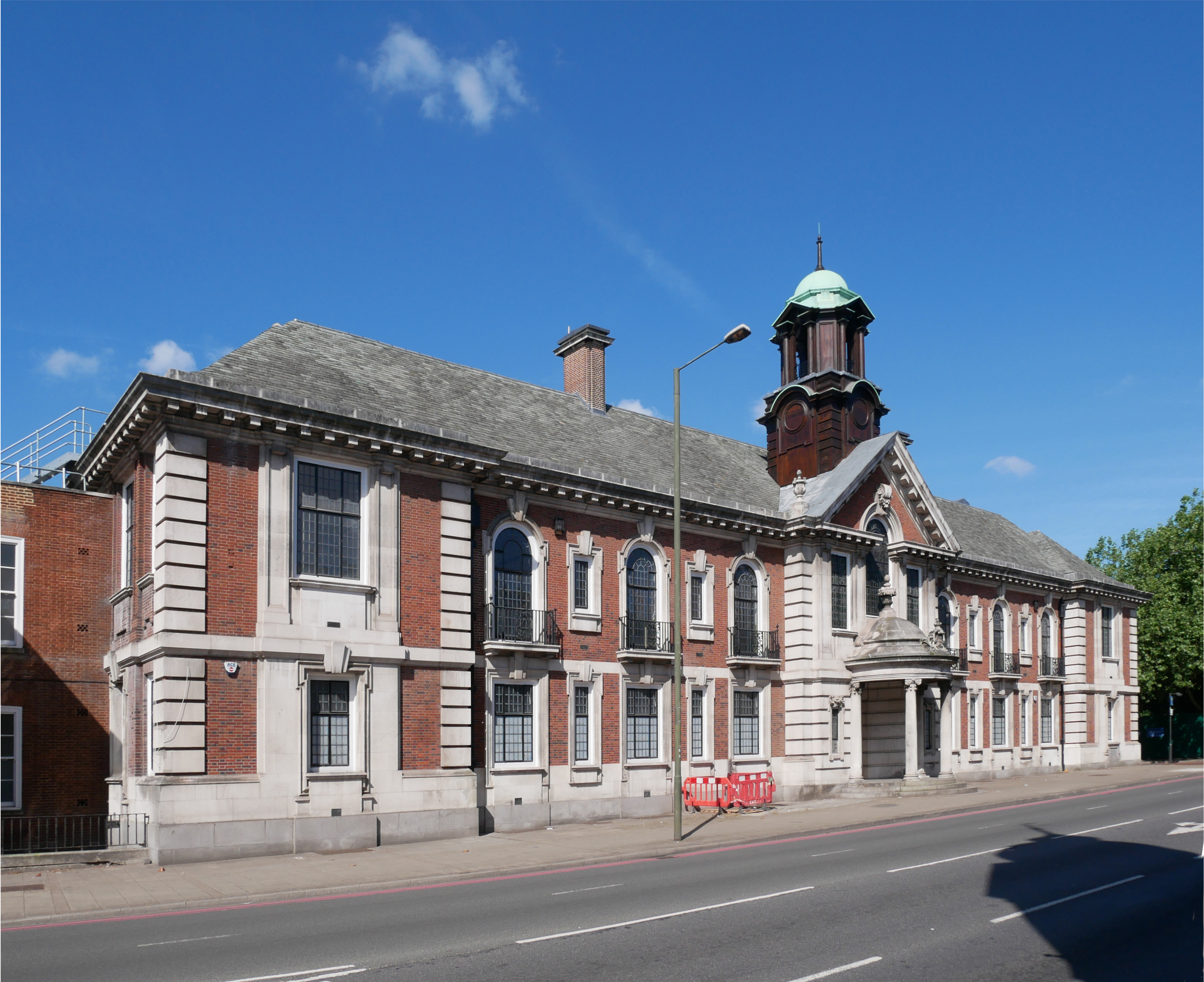
Bromley Town Hall
Bromley Town Hall is a municipal building in Tweedy Road, Bromley, London. Built in 1906, it is a Grade II listed building. == History == The building...
Nearby Amenities
Located within 500m of 51.405142,0.025763Have you been to Bromley?
Leave your review of Bromley below (or comments, questions and feedback).