Bromley
Settlement in Middlesex
England
Bromley

Bromley is a town located in the county of Middlesex, England. Situated in the southeastern part of the country, it is part of the larger London Borough of Bromley. The town has a rich history that dates back to the ancient Roman times, with evidence of settlements found in the area.
Today, Bromley is a thriving suburban town with a population of approximately 330,000 people. It is well-connected to central London, with excellent transport links including several railway stations and numerous bus routes. The town is also easily accessible by road, being located near major highways such as the A21 and the M25.
Bromley boasts a vibrant town center, offering a wide range of shops, restaurants, and entertainment options. The Glades shopping center is a popular destination for both residents and visitors, housing a variety of high-street brands and department stores. Additionally, the town center features a lively market, where locals can find fresh produce, clothing, and other goods.
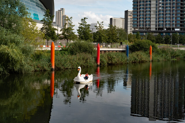
The area is known for its green spaces and parks, providing residents with ample opportunities for outdoor activities and leisure. The expansive Kelsey Park is a local favorite, featuring beautiful gardens, a lake, and even a small zoo. Norman Park is another notable green space, offering sports fields, a playground, and a leisure center.
Bromley is also home to several notable landmarks and cultural institutions. The Churchill Theatre hosts a variety of performing arts events, including musicals, plays, and comedy shows. The Bromley Museum showcases the town's history through its exhibits and collections.
Overall, Bromley, Middlesex is a bustling suburban town that seamlessly blends history, modern amenities, and natural beauty, making it an attractive place to live and visit.
If you have any feedback on the listing, please let us know in the comments section below.
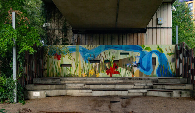
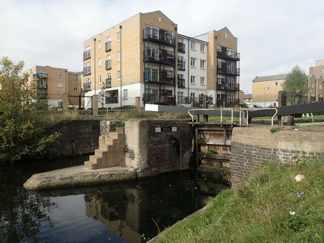
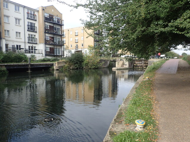
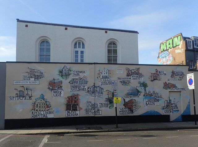
Bromley Images
Images are sourced within 2km of 51.522783/-0.016562 or Grid Reference TQ3782. Thanks to Geograph Open Source API. All images are credited.


Bromley is located at Grid Ref: TQ3782 (Lat: 51.522783, Lng: -0.016562)
Unitary Authority: Tower Hamlets
Police Authority: Metropolitan
What 3 Words
///dine.tribe.muddy. Near Poplar, London
Nearby Locations
Related Wikis
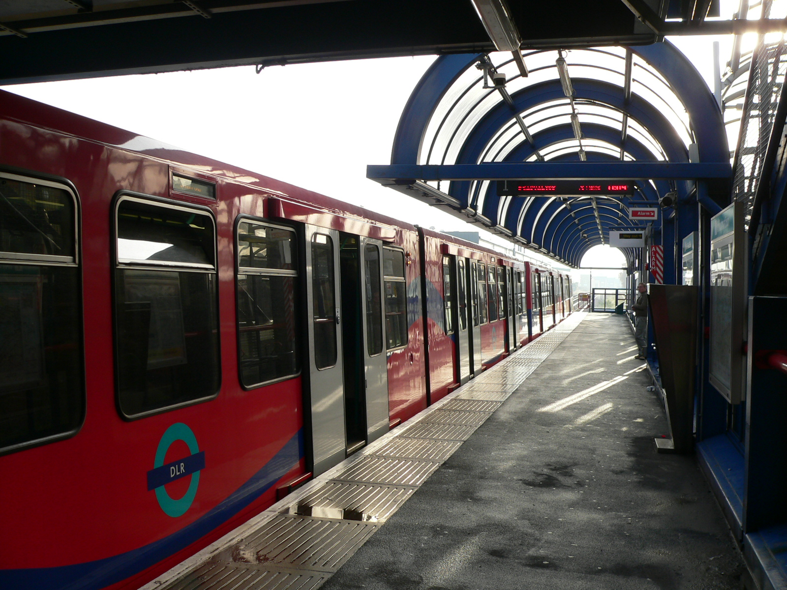
Devons Road DLR station
Devons Road is a Docklands Light Railway (DLR) station located in Bromley-by-Bow. The station takes its name from the B140 Devons Road and is between Langdon...
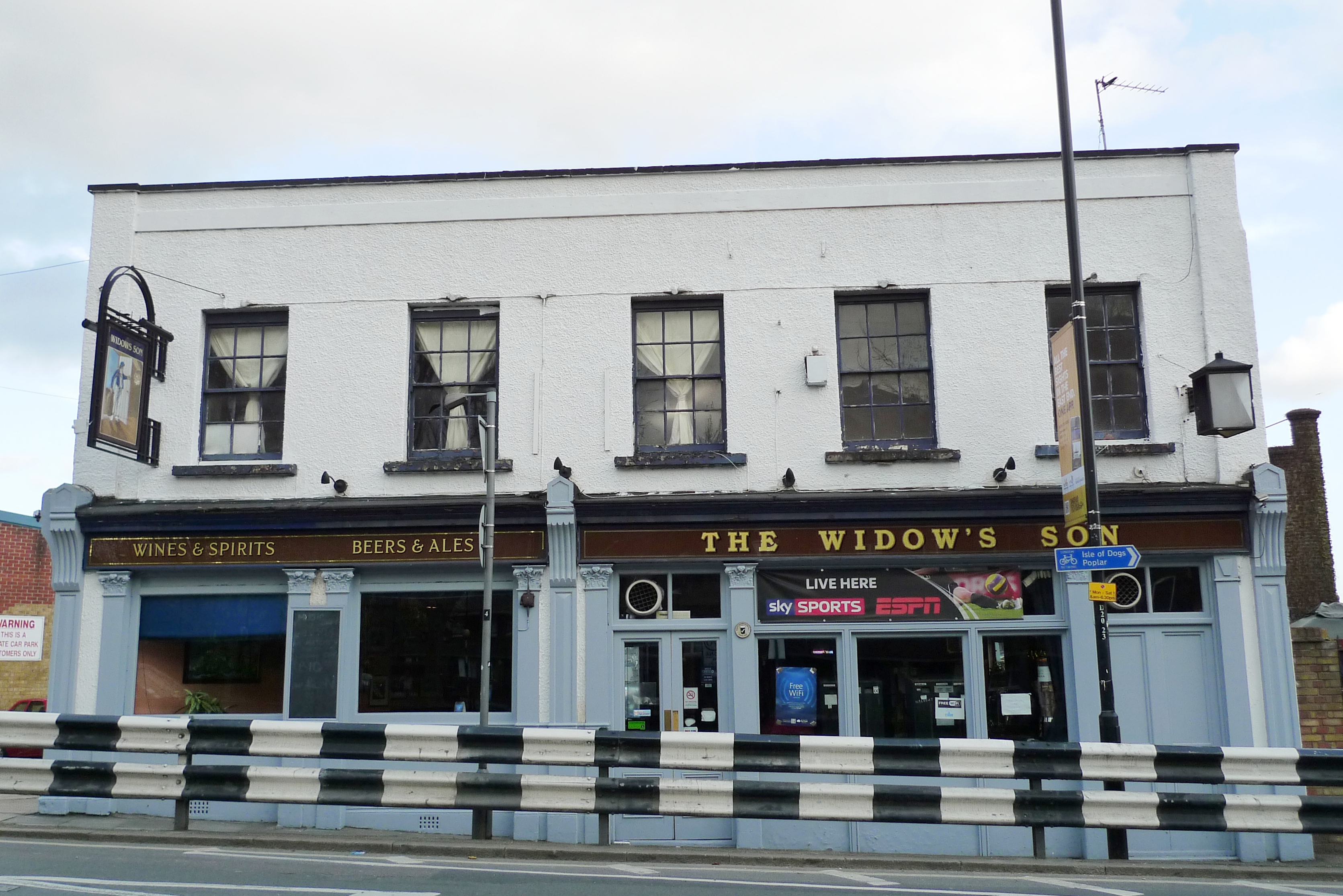
The Widow's Son, London
The Widow's Son is a Grade II* listed public house at 75 Devons Road, in Bromley-by-Bow in the East End of London. It was built in the early 19th century...
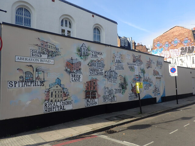
Bromley-by-Bow
Bromley, commonly known as Bromley-by-Bow, is a district in the London Borough of Tower Hamlets in East London, located on the western banks of the River...
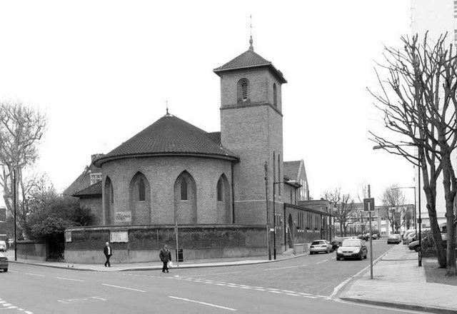
All Hallows, Bow
All Hallows, Bow (also known as All Hallows, Devons Road), is an Anglican church in Bow, London, England. It is within the Diocese of London. == History... ==

Coventry Cross Estate
Coventry Cross Estate is a social housing estate in the Bromley by Bow district of the East End of London. == History == The name Coventry Cross dates...

Bromley-by-Bow tube station
Bromley-by-Bow is a London Underground station located on the Blackwall Tunnel Northern Approach Road in the Bromley-by-Bow area of London, United Kingdom...
Devons Road
Devons Road is a road in Bow Common and Bromley-by-Bow in east London. Part of the B140 road, it gives its name to the Devons Road DLR station. == Motive... ==

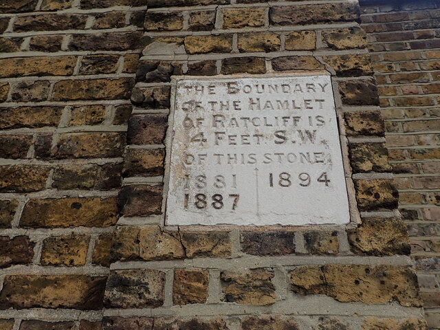
Metropolitan Borough of Poplar
Poplar was a local government district in the metropolitan area of London, England. It was formed as a district of the Metropolis in 1855 and became a...
Nearby Amenities
Located within 500m of 51.522783,-0.016562Have you been to Bromley?
Leave your review of Bromley below (or comments, questions and feedback).