Haile
Civil Parish in Cumberland Copeland
England
Haile

Haile is a civil parish located in the county of Cumberland, England. It is situated in the western part of the county, within the district of Copeland. The parish covers an area of approximately 9 square kilometers and is home to a small population.
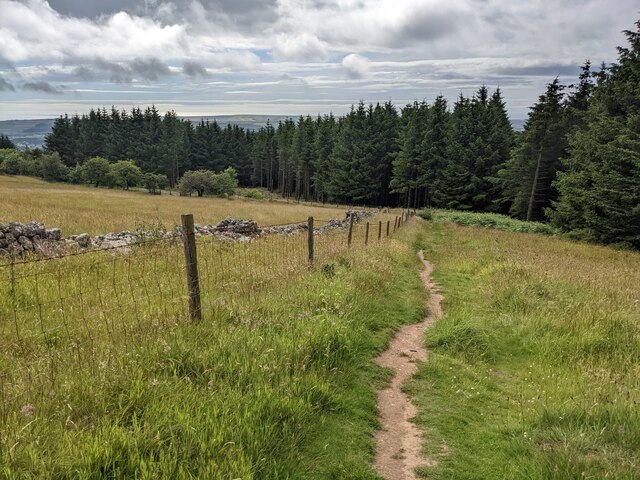
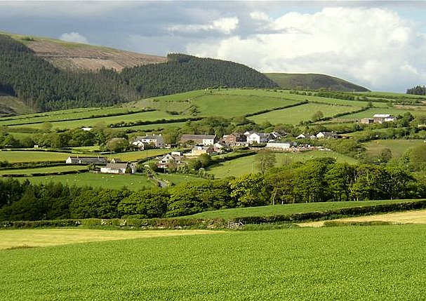
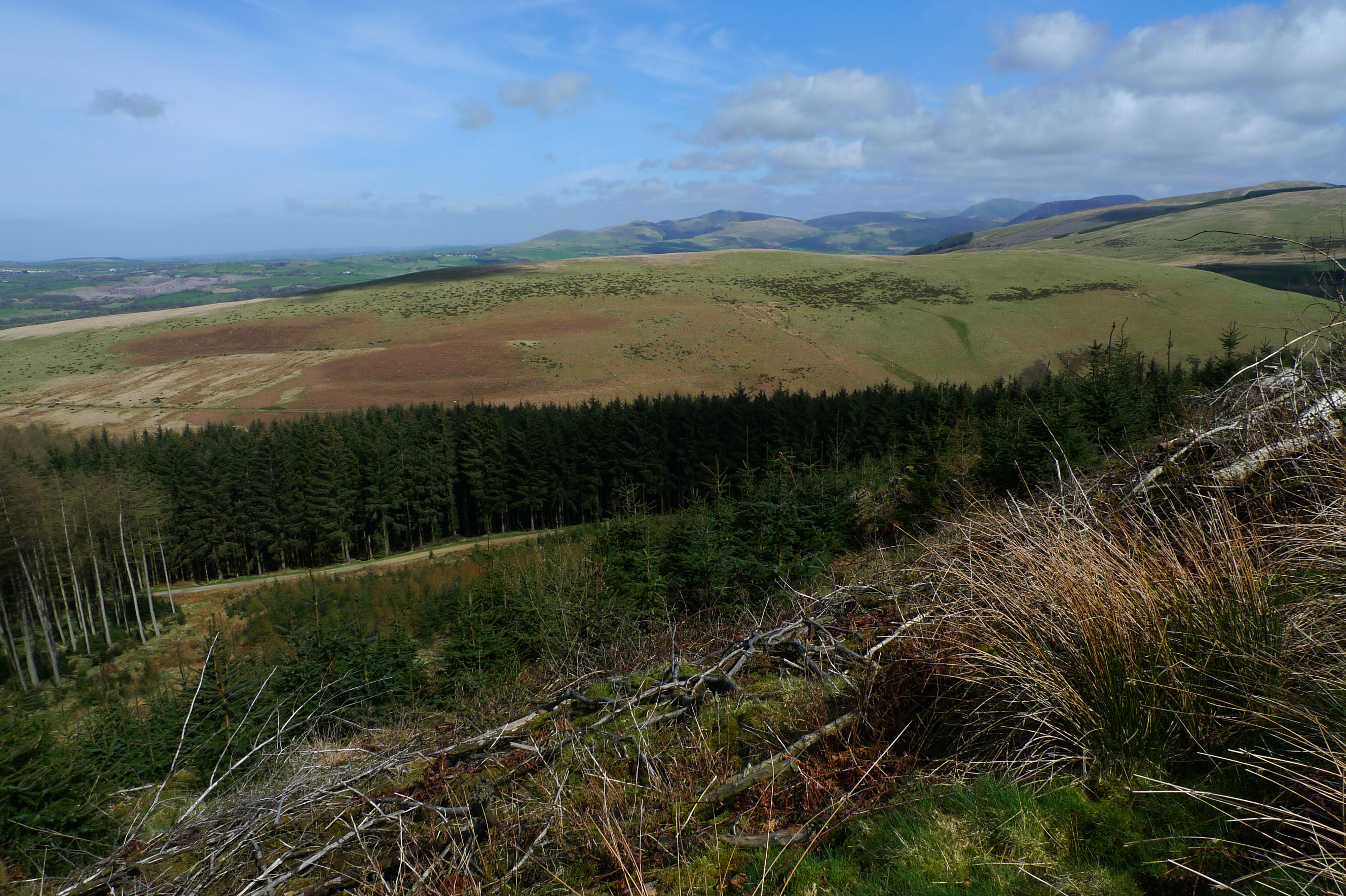
The village of Haile itself is located in a rural setting, surrounded by picturesque countryside and rolling hills. It is a quiet and peaceful area, with a strong sense of community. The village is characterized by traditional stone-built houses, many of which date back several centuries, giving it a charming and historic atmosphere.
One of the notable landmarks in Haile is the St. Giles Church, a Grade II listed building that dates back to the 12th century. The church is known for its beautiful stained glass windows and its historic Norman architecture.
The economy of Haile is primarily based on agriculture, with farming being the main industry in the area. The fertile land and favorable climate make it an ideal location for farming activities. The village is surrounded by fields and farmland, where crops such as wheat, barley, and potatoes are grown.
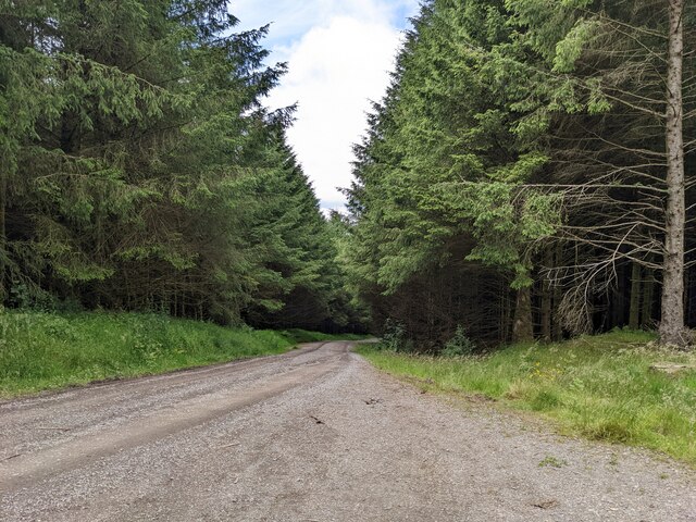
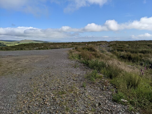
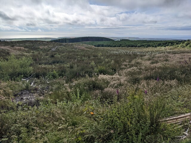
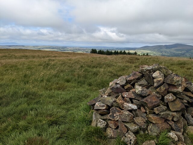
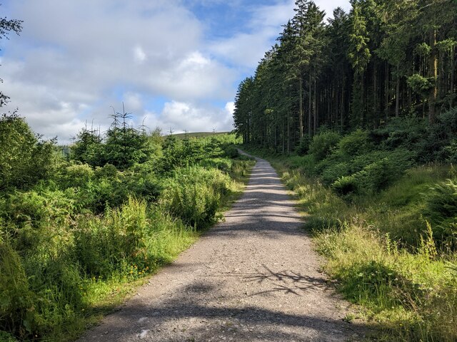
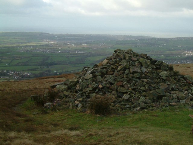
Haile is also a popular destination for outdoor enthusiasts and nature lovers. The surrounding countryside offers opportunities for walking, hiking, and exploring the scenic beauty of the area. There are also several nearby attractions, including the Lake District National Park, which is just a short drive away.
Overall, Haile is a charming and idyllic village in Cumberland, offering a peaceful and rural lifestyle amidst stunning natural surroundings.
If you have any feedback on the listing, please let us know in the comments section below.
Haile Images
Images are sourced within 2km of 54.492606/-3.488431 or Grid Reference NY0311. Thanks to Geograph Open Source API. All images are credited.


Haile is located at Grid Ref: NY0311 (Lat: 54.492606, Lng: -3.488431)
Administrative County: Cumbria
District: Copeland
Police Authority: Cumbria
What 3 Words
///facelift.fillers.shatters. Near Egremont, Cumbria
Related Wikis
Wilton, Cumbria
Wilton is a hamlet in the Copeland district, in the county of Cumbria, England. It is near the small town of Egremont. In 1870-72 it had a population of...
Dent (fell)
Dent is a small fell on the fringe of the English Lake District near the towns of Cleator Moor and Egremont. Sometimes known as Long Barrow, it is traditionally...

Briscoe, Cumbria
Briscoe is a hamlet in Cumbria, England. It is located to the east of Egremont. == See also == List of places in Cumbria == References ==

Blakeley Raise
Blakeley Raise is a fell in the English Lake District, standing at 389m. Unlike its neighbours Grike, Crag Fell and Lank Rigg it is not listed as a Wainwright...
Flat Fell
Flat Fell is a hill located on the edge of the English Lake District, standing at 272m. It is included in Alfred Wainwright's Outlying Fells of Lakeland...

Cleator
Cleator is a village in the English county of Cumbria and within the boundaries of the historic county of Cumberland. Cleator is located on the edge...

Egremont railway station
Egremont railway station was built by the Whitehaven, Cleator and Egremont Railway as the first southern terminus of what would become the Moor Row to...
Gillfoot railway station
Gillfoot railway station was on the Whitehaven, Cleator and Egremont Railway line half a mile north of Egremont station, in Cumbria, England. == History... ==
Related Videos

DENT FELL - THE LAKE DISTRICT. HIKINGS (S.1 EP.6)
I hope you enjoyed the video! If you did make sure you hit that LIKE button! and don't forget to SUBSCRIBE!. Thanks for your ...
Have you been to Haile?
Leave your review of Haile below (or comments, questions and feedback).