Wilton

Settlement in Cumberland Copeland

England

Wilton

Field next to Carletonmoor Woods Gateway entering field next to Carletonmoor Woods
Field next to Carletonmoor Woods Credit: P Gaskell

The requested URL returned error: 429 Too Many Requests

If you have any feedback on the listing, please let us know in the comments section below.
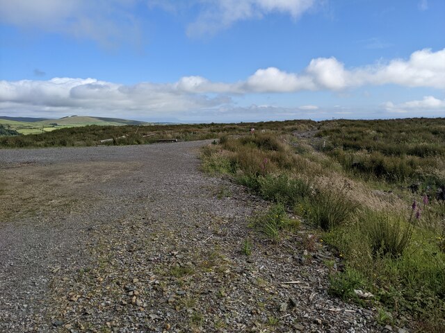
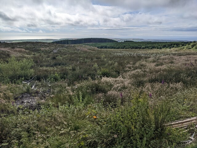
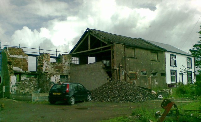
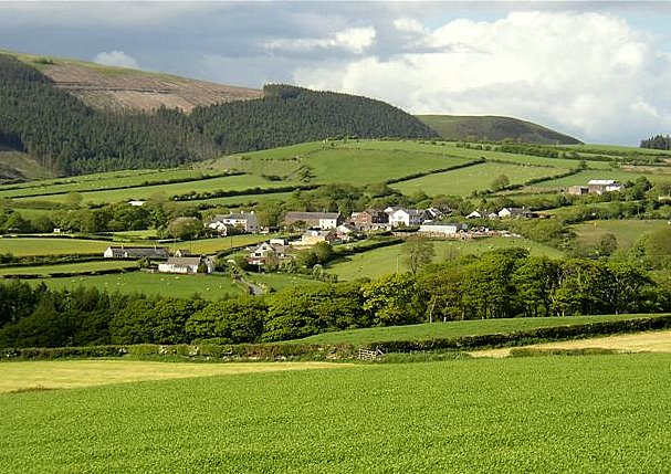
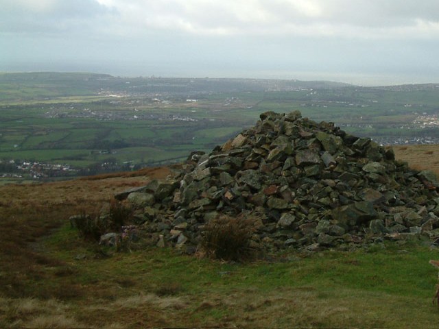
Wilton Images

Images are sourced within 2km of 54.485588/-3.484625 or Grid Reference NY0311. Thanks to Geograph Open Source API. All images are credited.

Field next to Carletonmoor Woods Gateway entering field next to Carletonmoor Woods
Field next to Carletonmoor Woods
Gateway entering field next to Carletonmoor Woods
The rough and wet track on top of Dent
The end of the forest road on the south side of Dent
Scrub on Longbarrow Moss The mature forest has been cleared and some new trees have been planted, visible centre right.
Scrub on Longbarrow Moss
The mature forest has been cleared and some new trees have been planted, visible centre right.
An ancient wall on Dent Long since collapsed into a long pile of stones.
An ancient wall on Dent
Long since collapsed into a long pile of stones.
Forest above Uldale Hole Gill is lost in the trees.
Forest above Uldale
Hole Gill is lost in the trees.
A cairn on the eastern top of Dent
The boggy path across the top of Dent
Foxgloves and fencing in Uldale Plantation
Road to Grange Brow Road to Grange Brow with hedgerows
Road to Grange Brow
Road to Grange Brow with hedgerows
Farmstead at Grange Farmstead at Grange with vernacular and modern farm buildings
Farmstead at Grange
Farmstead at Grange with vernacular and modern farm buildings
Wilton Village Passing through Wilton Village towards Grange
Wilton Village
Passing through Wilton Village towards Grange
Dike Nook Road leaving Wilton village
Dike Nook
Road leaving Wilton village
Farm track Gateway to a farm track bordered by a hedgerow and post and wire fence
Farm track
Gateway to a farm track bordered by a hedgerow and post and wire fence
Cattle Grid
Cattle Grid
Lowther Park
Lowther Park
Pumping Station near Egremont
Barn conversion, Oxenriggs Farm
Show me another place!

Wilton is located at Grid Ref: NY0311 (Lat: 54.485588, Lng: -3.484625)

Administrative County: Cumbria

District: Copeland

Police Authority: Cumbria

What 3 Words

///winds.formed.basin. Near Egremont, Cumbria

Nearby Locations

Haile Wilton

Related Wikis

Wilton, Cumbria

Wilton is a hamlet in the Copeland district, in the county of Cumbria, England. It is near the small town of Egremont. In 1870-72 it had a population of...

Briscoe, Cumbria

Briscoe is a hamlet in Cumbria, England. It is located to the east of Egremont. == See also == List of places in Cumbria == References ==

Dent (fell)

Dent is a small fell on the fringe of the English Lake District near the towns of Cleator Moor and Egremont. Sometimes known as Long Barrow, it is traditionally...
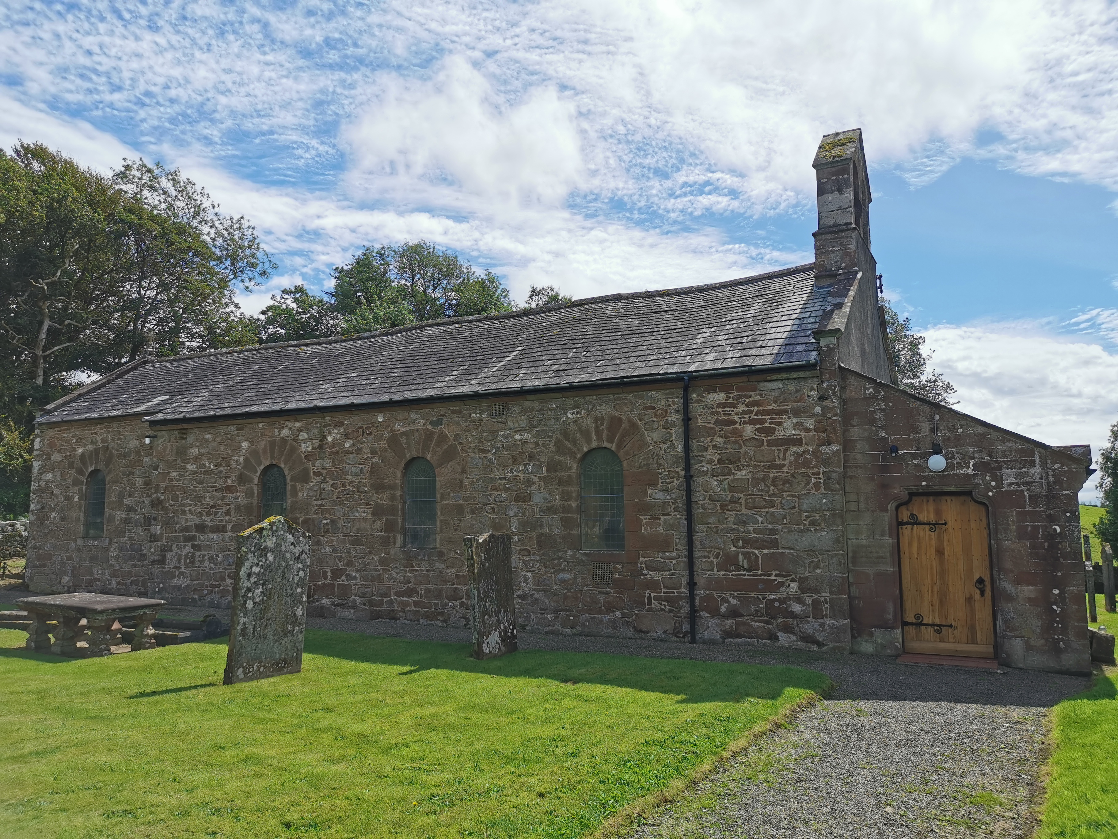
Haile Parish Church

Haile Parish Church is near Haile, Cumbria, England. It is an active Anglican parish church in the deanery of Calder, and the diocese of Carlisle. Its...

Nearby Amenities

Located within 500m of 54.485588,-3.484625
Wilton
Created By: Potlatch 0.10f
Is In: Cumbria
Place: hamlet
Wikidata: Q8023343
Lat/Long: 54.4853399/-3.490013
Post Box
Ref: CA22 120
Lat/Long: 54.4852614/-3.4874414
Power: pole
Lat/Long: 54.4833934/-3.4887903
Power: pole
Lat/Long: 54.4839907/-3.4898378
Power: pole
Lat/Long: 54.4847025/-3.4910312
Power: pole
Lat/Long: 54.4853264/-3.4920575
Power: pole
Lat/Long: 54.4812245/-3.4852436
Power: pole
Lat/Long: 54.481893/-3.4863058
Power: pole
Lat/Long: 54.4826643/-3.4876925
Power: pole
Lat/Long: 54.4826689/-3.4895101
Power: pole
Lat/Long: 54.4830475/-3.4887669
Power: pole
Lat/Long: 54.4836719/-3.4876217
Power: pole
Lat/Long: 54.4842176/-3.4865908
Power: pole
Lat/Long: 54.4846106/-3.4858686
Power: pole
Lat/Long: 54.4849748/-3.4852074
Power: pole
Lat/Long: 54.485443/-3.4843118
Power: pole
Lat/Long: 54.484149/-3.4846491
Power: pole
Lat/Long: 54.4837892/-3.4837096
Power: pole
Lat/Long: 54.4834317/-3.4827645
Power: pole
Lat/Long: 54.4829025/-3.481322
Power: pole
Lat/Long: 54.4824708/-3.4801501
Power: pole
Lat/Long: 54.4845818/-3.4815602
Power: pole
Lat/Long: 54.48506/-3.4810648
Power: pole
Lat/Long: 54.4853954/-3.4806798
Power: pole
Lat/Long: 54.4859478/-3.4799919
The data included in this document is from www.openstreetmap.org. The data is made available under ODbL.

Have you been to Wilton?

Leave your review of Wilton below (or comments, questions and feedback).