Hail Weston

Civil Parish in Huntingdonshire Huntingdonshire

England

Hail Weston

Kimbolton Road near Hail Weston
Kimbolton Road near Hail Weston Credit: David Howard

Hail Weston is a civil parish located in the district of Huntingdonshire, Cambridgeshire, England. It is situated approximately 6 miles west of St Neots and 13 miles south-west of Huntingdon. The parish covers an area of around 1,184 acres and has a population of about 400 residents.

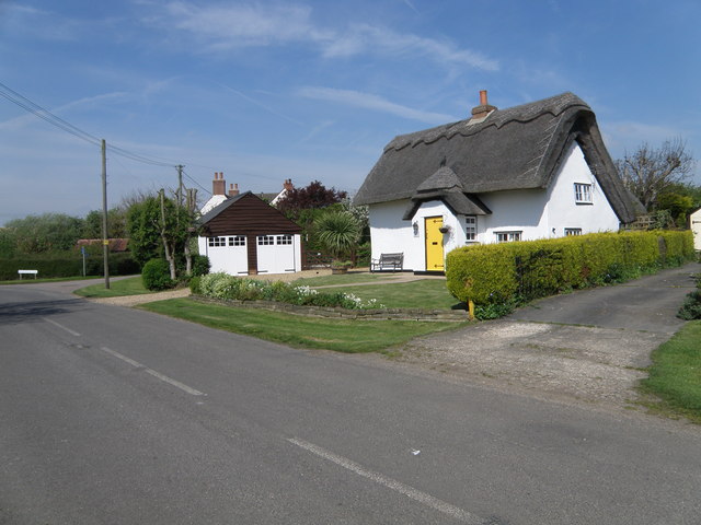
The village of Hail Weston is nestled in a rural setting, surrounded by picturesque countryside and farmland. It is known for its charming thatched cottages, historic buildings, and a beautiful 12th-century church dedicated to St Nicholas. The church features a Norman font and a medieval wall painting depicting St Christopher.

The parish has a strong sense of community, with various social and recreational activities organized throughout the year. These include events such as the village fete and the traditional Hail Weston Show, which showcase local talent and foster community spirit.

Hail Weston is also home to several notable landmarks, including the Grade II listed Weston House, a Georgian mansion set within stunning grounds. The village is also near the Great Ouse river, providing opportunities for boating and fishing.

The parish offers a peaceful and tranquil environment, making it an attractive place to live for those seeking a rural lifestyle. Despite its rural location, Hail Weston benefits from excellent transport links, with easy access to major road networks such as the A1 and A428, connecting residents to nearby towns and cities.

If you have any feedback on the listing, please let us know in the comments section below.
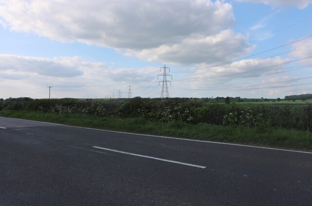
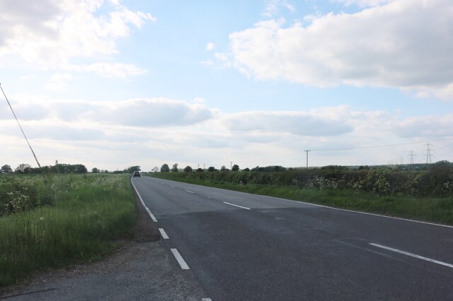
Hail Weston Images

Images are sourced within 2km of 52.25043/-0.306697 or Grid Reference TL1562. Thanks to Geograph Open Source API. All images are credited.

Kimbolton Road near Hail Weston
Kimbolton Road, Hail Weston
Hail Weston : Parish Church of St Nicholas Grade II* listed - <span class="nowrap"><a title="https://historicengland.org.uk/listing/the-list/list-entry/1330437?section=official-list-entry" rel="nofollow ugc noopener" href="https://historicengland.org.uk/listing/the-list/list-entry/1330437?section=official-list-entry">Link</a><img style="margin-left:2px;" alt="External link" title="External link - shift click to open in new window" src="https://s1.geograph.org.uk/img/external.png" width="10" height="10"/></span>.
Hail Weston : Parish Church of St Nicholas
Grade II* listed - LinkExternal link.
Hail  Weston : tower, Parish Church of St Nicholas Grade II* listed - <span class="nowrap"><a title="https://historicengland.org.uk/listing/the-list/list-entry/1330437?section=official-list-entry" rel="nofollow ugc noopener" href="https://historicengland.org.uk/listing/the-list/list-entry/1330437?section=official-list-entry">Link</a><img style="margin-left:2px;" alt="External link" title="External link - shift click to open in new window" src="https://s1.geograph.org.uk/img/external.png" width="10" height="10"/></span>.
Hail Weston : tower, Parish Church of St Nicholas
Grade II* listed - LinkExternal link.
Little Paxton : River Kym ford
Houses at Duloe
Houses at Duloe
St Nicholas, Hail Weston The church dates from C13. The timber-framed tower was built in C14 and is the only remaining example of this in the country. See <span class="nowrap"><a title="http://www.britishlistedbuildings.co.uk/en-54358-parish-church-of-st-nicholas-hail-weston-#.VdTi-_lViko" rel="nofollow ugc noopener" href="http://www.britishlistedbuildings.co.uk/en-54358-parish-church-of-st-nicholas-hail-weston-#.VdTi-_lViko">Link</a><img style="margin-left:2px;" alt="External link" title="External link - shift click to open in new window" src="https://s1.geograph.org.uk/img/external.png" width="10" height="10"/></span> for entry in British Listed Buildings
St Nicholas, Hail Weston
The church dates from C13. The timber-framed tower was built in C14 and is the only remaining example of this in the country. See LinkExternal link for entry in British Listed Buildings
Ford through the River Kym The Kym is a tributary of the Great Ouse.
Ford through the River Kym
The Kym is a tributary of the Great Ouse.
Leaving Hail Weston
Leaving Hail Weston
Path towards High Wood, Hail Weston
Pond on South Brook
Pond on South Brook
Path towards High Wood, Hail Weston
Path towards High Wood, Staploe
Well hidden pill box
Show me another place!

Hail Weston is located at Grid Ref: TL1562 (Lat: 52.25043, Lng: -0.306697)

Administrative County: Cambridgeshire

District: Huntingdonshire

Police Authority: Cambridgeshire

What 3 Words

///implanted.fenced.treating. Near Little Paxton, Cambridgeshire

Related Wikis

Hail Weston

Hail Weston is a village and civil parish in Cambridgeshire, England. Hail Weston lies approximately 7 miles (11 km) south of Huntingdon. Hail Weston is...

The Royal Oak, Hail Weston

The Royal Oak is a 17th-century pub in the village of Hail Weston, Cambridgeshire (historically Huntingdonshire). It is the last remaining pub in the village...

Little Paxton Wood

Little Paxton Wood is a 44.1-hectare biological Site of Special Scientific Interest west of Little Paxton in Cambridgeshire.This ancient wood is wet ash...

Duloe, Bedfordshire

Duloe is a hamlet in the English county of Bedfordshire. A former spelling of the name may be "Devylho" or "Deuylho", as seen in 1460, in a legal record...

Nearby Amenities

Located within 500m of 52.25043,-0.306697
Wood Farm
Landuse: farm
Note Retag: CS #48756035
Lat/Long: 52.2496675/-0.3076335
Design: barrel
Line Attachment: suspension
Material: steel
Power: tower
Structure: lattice
Lat/Long: 52.248538/-0.3124827
Design: barrel
Line Attachment: suspension
Material: steel
Power: tower
Structure: lattice
Lat/Long: 52.2516317/-0.3127456
Power: pole
Lat/Long: 52.2517466/-0.3029691
Power: pole
Lat/Long: 52.2540881/-0.3065817
Power: pole
Lat/Long: 52.2531588/-0.3051176
Power: pole
Lat/Long: 52.2522704/-0.3037684
Power: pole
Lat/Long: 52.2495136/-0.2995037
Power: pole
Lat/Long: 52.2546742/-0.3075043
Power: pole
Lat/Long: 52.2503002/-0.3007
Power: pole
Lat/Long: 52.2511557/-0.3020277
Power: pole
Lat/Long: 52.25152/-0.3121659
Power: pole
Lat/Long: 52.2487352/-0.3119406
Power: pole
Lat/Long: 52.2496747/-0.3120157
Power: pole
Lat/Long: 52.2532474/-0.3123
Power: pole
Lat/Long: 52.2478058/-0.3118655
Power: pole
Lat/Long: 52.2523737/-0.312241
Power: pole
Lat/Long: 52.2506337/-0.3120747
Place: farm
Lat/Long: 52.2496559/-0.3110754
The data included in this document is from www.openstreetmap.org. The data is made available under ODbL.

Have you been to Hail Weston?

Leave your review of Hail Weston below (or comments, questions and feedback).