Huntingdon Wood

Wood, Forest in Huntingdonshire Huntingdonshire

England

Huntingdon Wood

Kimbolton Road near Hail Weston
Kimbolton Road near Hail Weston Credit: David Howard

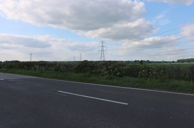
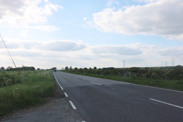
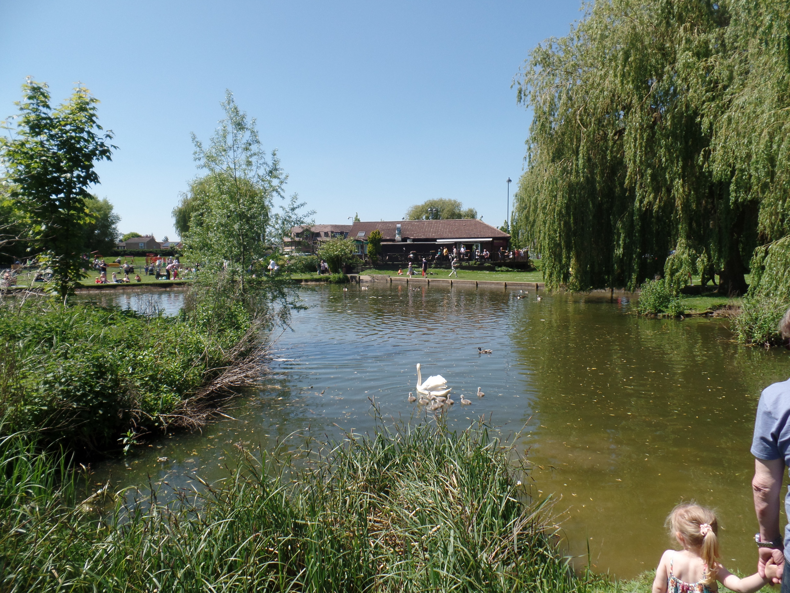
Huntingdon Wood is a picturesque forest located in the district of Huntingdonshire, England. Covering an area of approximately 200 acres, it is a haven for nature lovers and outdoor enthusiasts. The wood is situated just a few miles outside the town of Huntingdon, making it easily accessible for visitors.

The wood is predominantly composed of deciduous trees, including oak, birch, and beech. These majestic trees create a dense canopy, providing a cool and shady environment during the summer months. Walking through the wood, one can marvel at the vibrant colors of the changing leaves in autumn, and the fresh green foliage in spring.

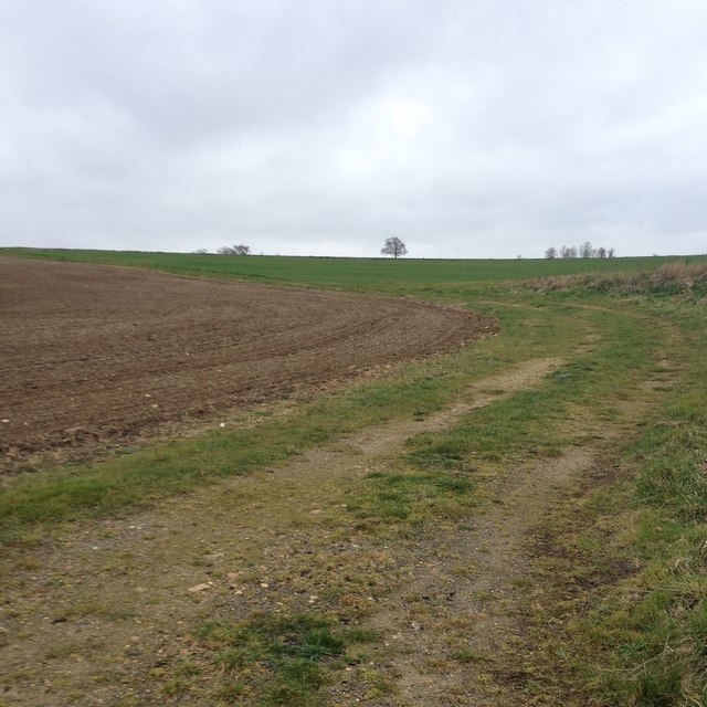
Huntingdon Wood is home to a diverse range of wildlife. Birdwatchers will be delighted to spot various species, including woodpeckers, thrushes, and owls. The forest floor is abundant with flora and fauna, with wildflowers, ferns, and mushrooms adding to the woodland's charm.

Visitors to the wood can enjoy a range of outdoor activities. There are several well-marked trails for walking and cycling, offering opportunities to explore the forest's hidden corners. The wood also has designated picnic areas, where visitors can relax and enjoy the peaceful surroundings.

Huntingdon Wood is a popular destination for families, nature enthusiasts, and those seeking a peaceful retreat in the heart of nature. Its natural beauty and tranquility make it a must-visit location for anyone in the Huntingdonshire area.

If you have any feedback on the listing, please let us know in the comments section below.

Huntingdon Wood Images

Images are sourced within 2km of 52.245143/-0.31408343 or Grid Reference TL1562. Thanks to Geograph Open Source API. All images are credited.

Kimbolton Road near Hail Weston
Kimbolton Road, Hail Weston
Hail Weston : Parish Church of St Nicholas Grade II* listed - <span class="nowrap"><a title="https://historicengland.org.uk/listing/the-list/list-entry/1330437?section=official-list-entry" rel="nofollow ugc noopener" href="https://historicengland.org.uk/listing/the-list/list-entry/1330437?section=official-list-entry">Link</a><img style="margin-left:2px;" alt="External link" title="External link - shift click to open in new window" src="https://s1.geograph.org.uk/img/external.png" width="10" height="10"/></span>.
Hail Weston : Parish Church of St Nicholas
Grade II* listed - LinkExternal link.
Hail  Weston : tower, Parish Church of St Nicholas Grade II* listed - <span class="nowrap"><a title="https://historicengland.org.uk/listing/the-list/list-entry/1330437?section=official-list-entry" rel="nofollow ugc noopener" href="https://historicengland.org.uk/listing/the-list/list-entry/1330437?section=official-list-entry">Link</a><img style="margin-left:2px;" alt="External link" title="External link - shift click to open in new window" src="https://s1.geograph.org.uk/img/external.png" width="10" height="10"/></span>.
Hail Weston : tower, Parish Church of St Nicholas
Grade II* listed - LinkExternal link.
Crossroads and fields near Duloe
Houses at Duloe
Houses at Duloe
St Nicholas, Hail Weston The church dates from C13. The timber-framed tower was built in C14 and is the only remaining example of this in the country. See <span class="nowrap"><a title="http://www.britishlistedbuildings.co.uk/en-54358-parish-church-of-st-nicholas-hail-weston-#.VdTi-_lViko" rel="nofollow ugc noopener" href="http://www.britishlistedbuildings.co.uk/en-54358-parish-church-of-st-nicholas-hail-weston-#.VdTi-_lViko">Link</a><img style="margin-left:2px;" alt="External link" title="External link - shift click to open in new window" src="https://s1.geograph.org.uk/img/external.png" width="10" height="10"/></span> for entry in British Listed Buildings
St Nicholas, Hail Weston
The church dates from C13. The timber-framed tower was built in C14 and is the only remaining example of this in the country. See LinkExternal link for entry in British Listed Buildings
Leaving Hail Weston
Leaving Hail Weston
Path towards High Wood, Hail Weston
Pond on South Brook
Pond on South Brook
Path towards High Wood, Hail Weston
Path towards High Wood, Staploe
Well hidden pill box
Path towards Cherry Orchard Farm
Show me another place!

Huntingdon Wood is located at Grid Ref: TL1562 (Lat: 52.245143, Lng: -0.31408343)

Administrative County: Cambridgeshire

District: Huntingdonshire

Police Authority: Cambridgeshire

What 3 Words

///workouts.proper.openly. Near Eaton Socon, Cambridgeshire

Related Wikis

Hail Weston

Hail Weston is a village and civil parish in Cambridgeshire, England. Hail Weston lies approximately 7 miles (11 km) south of Huntingdon. Hail Weston is...

The Royal Oak, Hail Weston

The Royal Oak is a 17th-century pub in the village of Hail Weston, Cambridgeshire (historically Huntingdonshire). It is the last remaining pub in the village...

Duloe, Bedfordshire

Duloe is a hamlet in the English county of Bedfordshire. A former spelling of the name may be "Devylho" or "Deuylho", as seen in 1460, in a legal record...

Little Paxton Wood

Little Paxton Wood is a 44.1-hectare biological Site of Special Scientific Interest west of Little Paxton in Cambridgeshire.This ancient wood is wet ash...

Upper Staploe

Upper Staploe is a hamlet located in the Borough of Bedford in the county of Bedfordshire, England. The settlement is close to Honeydon and Staploe, and...

Great Staughton

Great Staughton is a village and civil parish in Cambridgeshire, England. Great Staughton lies approximately 8 miles (13 km) south-west of Huntingdon....

Eaton Ford

Eaton Ford is an area of St Neots, Cambridgeshire, England. It is a mainly residential area also containing Riverside Park, a large area of riverside parkland...
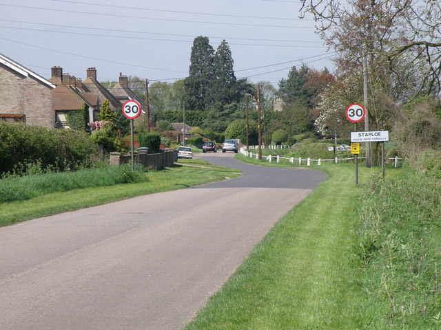
Staploe

Staploe is a village and civil parish located in the Borough of Bedford in Bedfordshire, England. Staploe was originally a hamlet of Eaton Socon. Under...

Nearby Amenities

Located within 500m of 52.245143,-0.31408343
Design: barrel
Line Attachment: suspension
Material: steel
Power: tower
Structure: lattice
Lat/Long: 52.248538/-0.3124827
Design: barrel
Line Attachment: suspension
Material: steel
Power: tower
Structure: lattice
Lat/Long: 52.243158/-0.3120911
Design: barrel
Line Attachment: suspension
Material: steel
Power: tower
Structure: lattice
Lat/Long: 52.2459367/-0.3122896
Power: pole
Lat/Long: 52.2420087/-0.3113129
Power: pole
Lat/Long: 52.245014/-0.3116133
Power: pole
Lat/Long: 52.2430631/-0.3114256
Power: pole
Lat/Long: 52.2487352/-0.3119406
Power: pole
Lat/Long: 52.2440386/-0.3115114
Power: pole
Lat/Long: 52.2459648/-0.3117664
Power: pole
Lat/Long: 52.2478058/-0.3118655
Power: pole
Lat/Long: 52.24686/-0.3118011
Building: yes
Lat/Long: 52.2488677/-0.3144121
The data included in this document is from www.openstreetmap.org. The data is made available under ODbL.

Have you been to Huntingdon Wood?

Leave your review of Huntingdon Wood below (or comments, questions and feedback).