Birch Wood
Wood, Forest in Surrey Elmbridge
England
Birch Wood

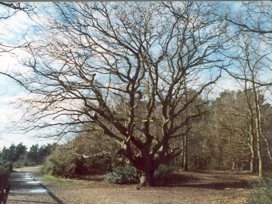
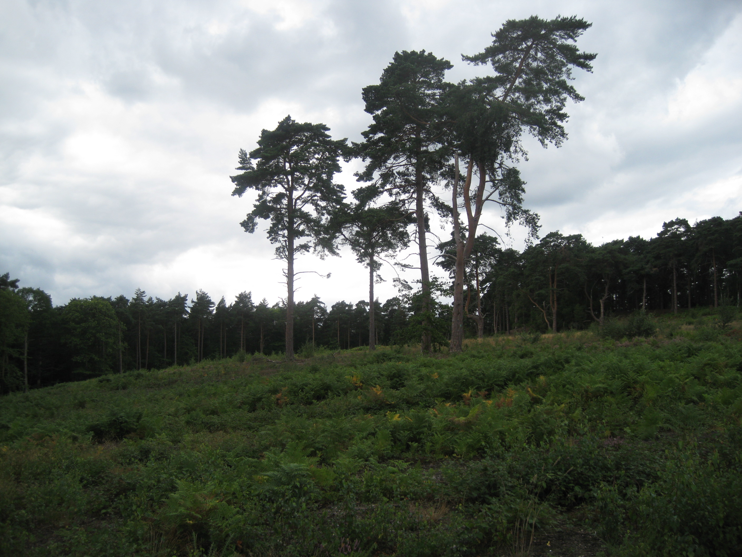
Birch Wood is a picturesque forest located in Surrey, England. Covering an area of approximately 500 acres, it is known for its vast expanse of birch trees, which give the wood its name. The woodland is part of the Surrey Hills Area of Outstanding Natural Beauty, making it a popular destination for nature enthusiasts and hikers.
The wood is characterized by its diverse ecosystem, with a variety of plant and animal species thriving within its boundaries. The birch trees dominate the landscape, their slender trunks and distinctive white bark creating an enchanting atmosphere. In addition to birch trees, the woodland is also home to oak, beech, and pine trees, adding to its rich biodiversity.
Visitors to Birch Wood can enjoy a network of well-maintained trails that wind through the forest, providing scenic views and opportunities for wildlife spotting. The wood is particularly beautiful during spring when the forest floor comes alive with a vibrant carpet of bluebells and other wildflowers.
The wood is also a haven for birdwatchers, with numerous species of birds calling it home, including woodpeckers, nightingales, and owls. Squirrels and deer can also be spotted in the wood, adding to its charm and natural allure.
Birch Wood is easily accessible, with designated parking areas and signposted entrances. It offers a peaceful retreat away from the hustle and bustle of city life, providing visitors with the opportunity to connect with nature and enjoy the tranquility of the Surrey countryside.
If you have any feedback on the listing, please let us know in the comments section below.
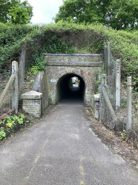
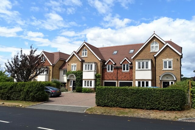
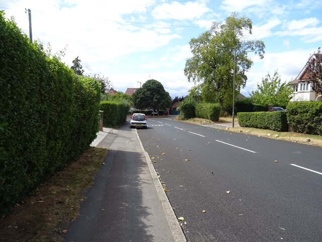
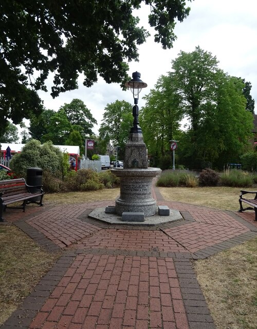
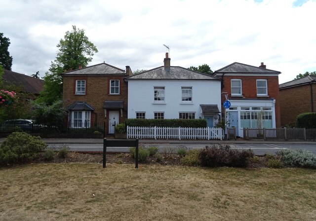
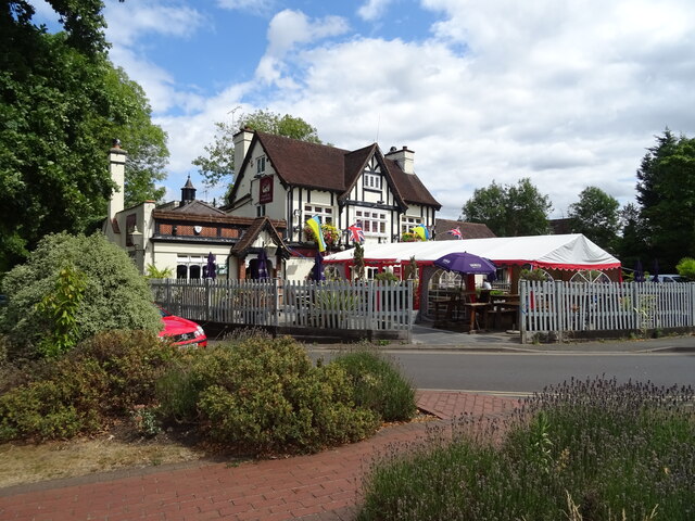
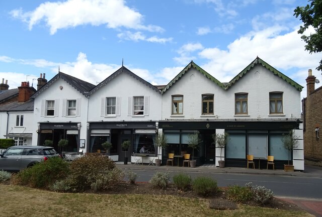
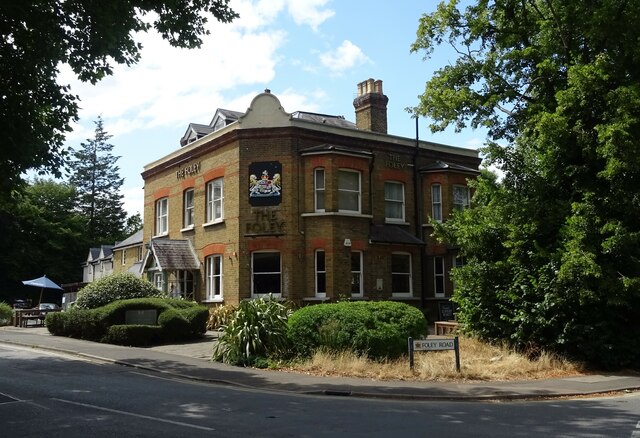
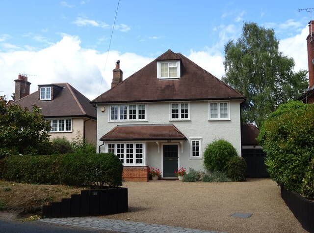
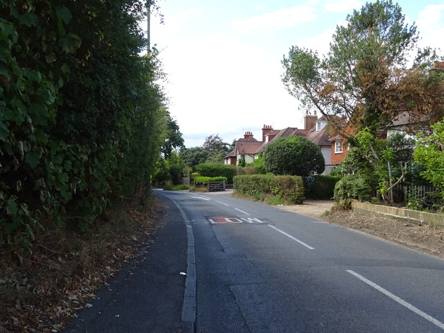
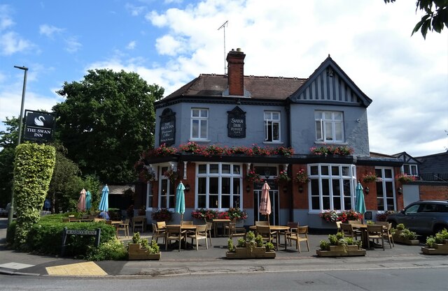
Birch Wood Images
Images are sourced within 2km of 51.347279/-0.34731285 or Grid Reference TQ1562. Thanks to Geograph Open Source API. All images are credited.


Birch Wood is located at Grid Ref: TQ1562 (Lat: 51.347279, Lng: -0.34731285)
Administrative County: Surrey
District: Elmbridge
Police Authority: Surrey
What 3 Words
///shades.forum.circle. Near Esher, Surrey
Nearby Locations
Related Wikis

Claygate Common
Claygate Common is a 14.1-hectare (35-acre) Local Nature Reserve south-east of Esher in Surrey. It is owned and managed by Elmbridge Borough Council.The...
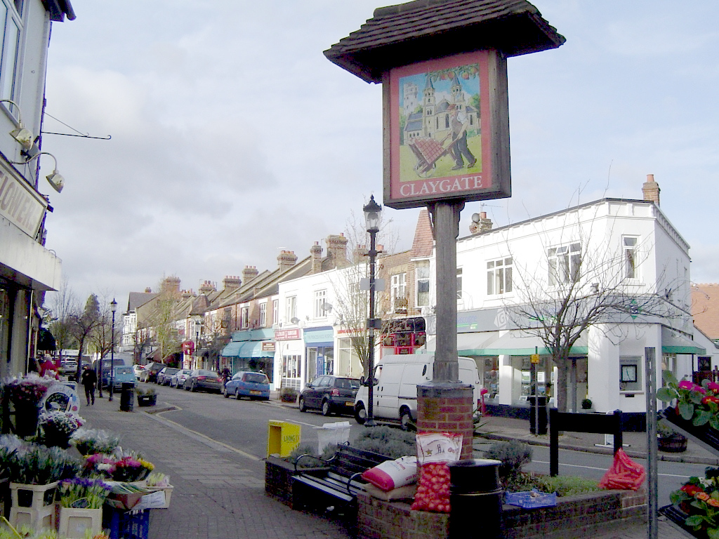
Claygate
Claygate is an affluent suburban village in Surrey, England, 14 miles (23 kilometres) southwest of central London. It is the only civil parish in the borough...
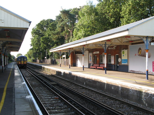
Claygate railway station
Claygate railway station serves the village of Claygate, in Surrey, England. It is on the New Guildford Line from London Waterloo to Guildford. The station...
Esher Commons
Esher Commons is a 360.1-hectare (890-acre) biological Site of Special Scientific Interest south-west of Esher in Surrey. It includes Esher Common, Fairmile...
Oxshott Heath and Woods
Oxshott Heath and Woods is an area of woods and heathland in Oxshott, Surrey, England covering approximately 200 acres (81 ha), as an area of common land...

Esher and Walton (UK Parliament constituency)
Esher and Walton () is a constituency in Surrey represented in the House of Commons of the UK Parliament. Since 2010, it has been represented by Dominic...

Esher (UK Parliament constituency)
Esher was a borough constituency represented in the House of Commons of the Parliament of the United Kingdom. It elected one Member of Parliament (MP)...

Oxshott railway station
Oxshott railway station serves the village of Oxshott, in Surrey, England. It is 16 miles 79 chains (27.3 km) down the line from London Waterloo. The station...
Nearby Amenities
Located within 500m of 51.347279,-0.34731285Have you been to Birch Wood?
Leave your review of Birch Wood below (or comments, questions and feedback).