Milbournehold Plantation

Wood, Forest in Surrey Elmbridge

England

Milbournehold Plantation

Houses on Red Lane, Claygate
Houses on Red Lane, Claygate Credit: JThomas

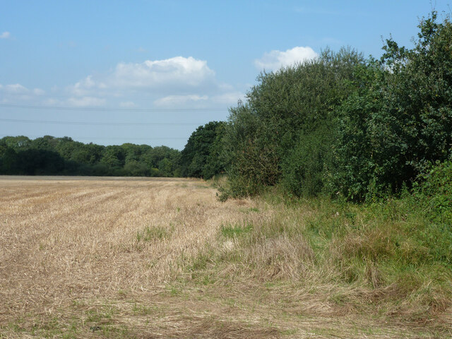
Milbournehold Plantation is a picturesque woodland area located in Surrey, England. Situated near the village of Milbournehold, it covers a sprawling area of approximately 500 acres. The plantation is a haven for nature enthusiasts and offers a diverse range of flora and fauna.

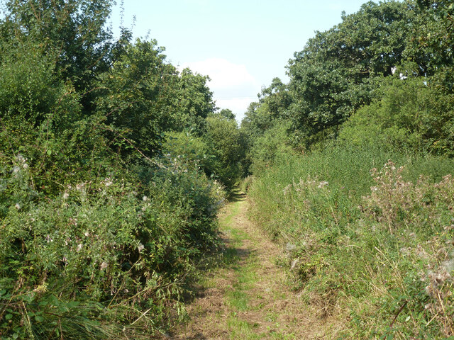
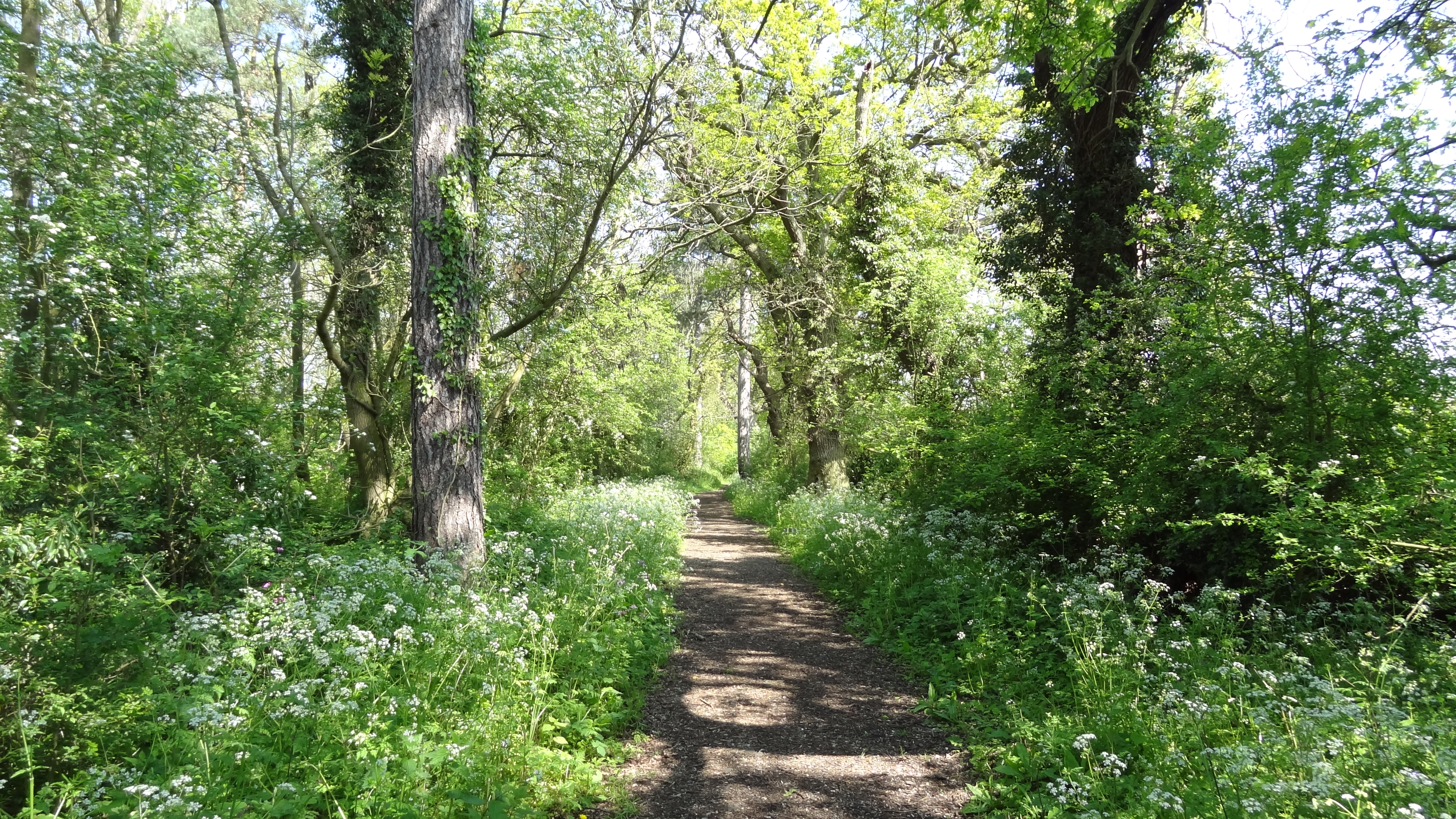
The woodland is primarily composed of native species such as oak, beech, and birch trees, which create a dense canopy overhead. The forest floor is adorned with a variety of wildflowers, including bluebells and primroses, which add a splash of color to the landscape during springtime.

Milbournehold Plantation is home to a rich array of wildlife. Visitors may be lucky enough to spot deer, foxes, and various species of birds, including owls and woodpeckers. The woodland provides an ideal habitat for these creatures, offering shelter, food, and ample space for them to thrive.

A network of well-maintained walking trails crisscrosses the plantation, allowing visitors to explore the woodland at their own pace. These trails lead to several scenic viewpoints, offering stunning vistas of the surrounding countryside. There are also picnic areas dotted throughout the plantation, providing the perfect spot to relax and enjoy the tranquility of nature.

Milbournehold Plantation is a popular destination for both locals and tourists seeking a peaceful retreat from the busy city life. Its natural beauty and abundant wildlife make it an ideal location for nature walks, photography, and birdwatching. Whether visiting for a leisurely stroll or to immerse oneself in the wonders of nature, Milbournehold Plantation offers a truly enchanting experience.

If you have any feedback on the listing, please let us know in the comments section below.

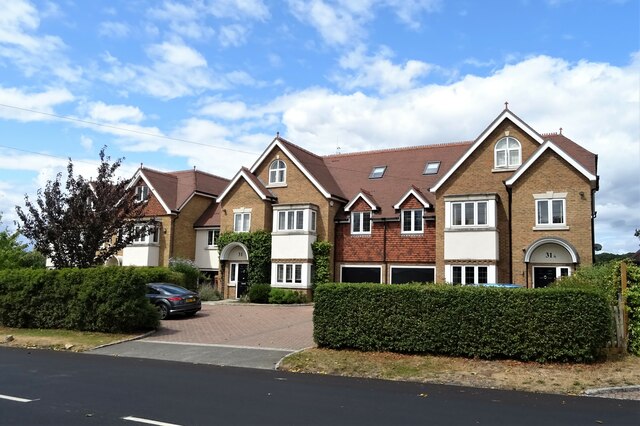
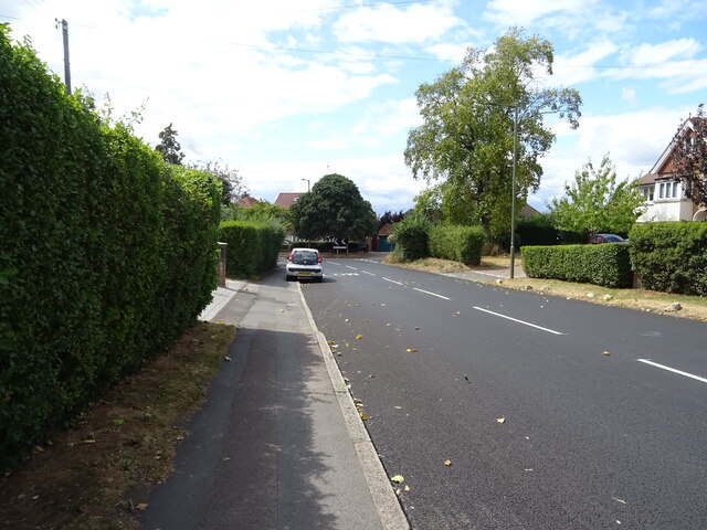
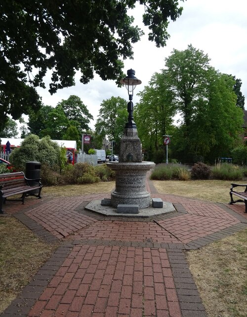
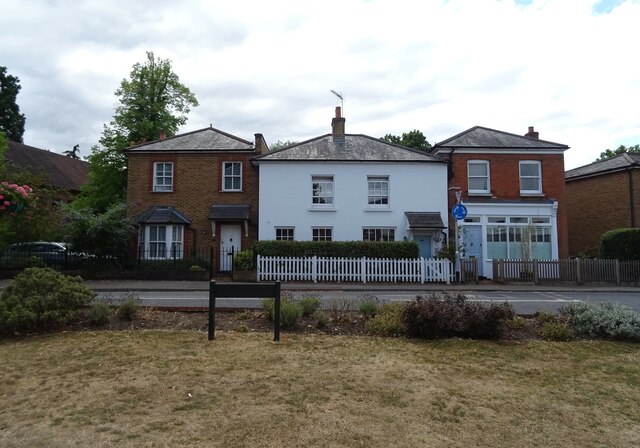
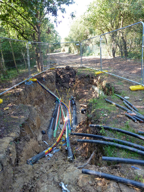
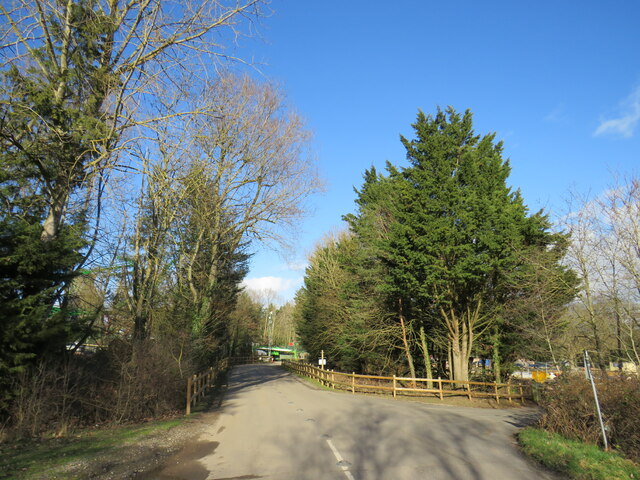
Milbournehold Plantation Images

Images are sourced within 2km of 51.345935/-0.33815699 or Grid Reference TQ1562. Thanks to Geograph Open Source API. All images are credited.

Houses on Red Lane, Claygate
Red Lane, Claygate Looking west.
Red Lane, Claygate
Looking west.
Lord Foley's Fountain Presented to the village of Claygate by Lord Foley in July 1893.
Lord Foley's Fountain
Presented to the village of Claygate by Lord Foley in July 1893.
Houses on The Green, Claygate
The Hare & Hounds, Claygate On The Green.
See <a href="https://www.geograph.org.uk/photo/7243117">TQ1563 : Sign for the Hare & Hounds, Claygate</a> for sign.
The Hare & Hounds, Claygate
On The Green. See TQ1563 : Sign for the Hare & Hounds, Claygate for sign.
Sign for the Hare & Hounds, Claygate See <a href="https://www.geograph.org.uk/photo/7243116">TQ1563 : The Hare & Hounds, Claygate</a> for context.
Sign for the Hare & Hounds, Claygate
Restaurant on The Green, Claygate
The Foley Hotel, Claygate
George V postbox on Red Lane, Claygate Postbox No. KT10 179.
George V postbox on Red Lane, Claygate
Postbox No. KT10 179.
Field edge near Malden Rushett
Bridleway towards Chessington Used by the 'Chessington Countryside Walk'.
Bridleway towards Chessington
Used by the 'Chessington Countryside Walk'.
Pipeline compound, Chessington Presumably gas, but a GPSS oil products pipeline marker is also on the nearby road verge.
Pipeline compound, Chessington
Presumably gas, but a GPSS oil products pipeline marker is also on the nearby road verge.
Footpath with cable laying, Chessington The cables appeared to be for telecommunications - see <a href="https://www.geograph.org.uk/photo/7338041">TQ1762 : Cable laying, Chessington</a>.
Footpath with cable laying, Chessington
The cables appeared to be for telecommunications - see TQ1762 : Cable laying, Chessington.
Cable laying, Chessington This appears to be a splicing point, where cables that have been pulled through plastic pipes are joined together.
Cable laying, Chessington
This appears to be a splicing point, where cables that have been pulled through plastic pipes are joined together.
Public bridleway near Malden Rushett A public bridleway along the edge of a field near Chessington, on the fringe of south west London.
Public bridleway near Malden Rushett
A public bridleway along the edge of a field near Chessington, on the fringe of south west London.
Public bridleway near Malden Rushett A wooden bridge taking a footpath across Bonesgate Stream near Malden Rushett, on the outer fringe of south west London.
Public bridleway near Malden Rushett
A wooden bridge taking a footpath across Bonesgate Stream near Malden Rushett, on the outer fringe of south west London.
Access road, Chessington World of Adventures An access road at Chessington World of Adventures, a visitor attraction on the fringe of south west London.  The attraction was previously known as Chessington Zoo.
Access road, Chessington World of Adventures
An access road at Chessington World of Adventures, a visitor attraction on the fringe of south west London. The attraction was previously known as Chessington Zoo.
Public footpath and access road, Chessington World of Adventures A public footpath and access road at Chessington World of Adventures, on the fringe of south west London.  The access road leads to and from car parks for visitors to the site.  The footpath, which runs around the perimeter of Chessington World of Adventures, is a public right of way.

This image was taken in a February afternoon.  Trees were bare for the winter season.
Public footpath and access road, Chessington World of Adventures
A public footpath and access road at Chessington World of Adventures, on the fringe of south west London. The access road leads to and from car parks for visitors to the site. The footpath, which runs around the perimeter of Chessington World of Adventures, is a public right of way. This image was taken in a February afternoon. Trees were bare for the winter season.
Show me another place!

Milbournehold Plantation is located at Grid Ref: TQ1562 (Lat: 51.345935, Lng: -0.33815699)

Administrative County: Surrey

District: Elmbridge

Police Authority: Surrey

What 3 Words

///lamp.snack.boom. Near Chessington, London

Related Wikis

Claygate Common

Claygate Common is a 14.1-hectare (35-acre) Local Nature Reserve south-east of Esher in Surrey. It is owned and managed by Elmbridge Borough Council.The...

Tiger Rock

Tiger Rock (previously known as Dragon Falls and Dragon River) is a flume ride at the theme park Chessington World of Adventures in Chessington, southwest...

Jubilee Wood, Malden Rushett

Jubilee Wood is located in Malden Rushett in the Royal Borough of Kingston upon Thames in London. It is divided into two parts, separated by an electricity...
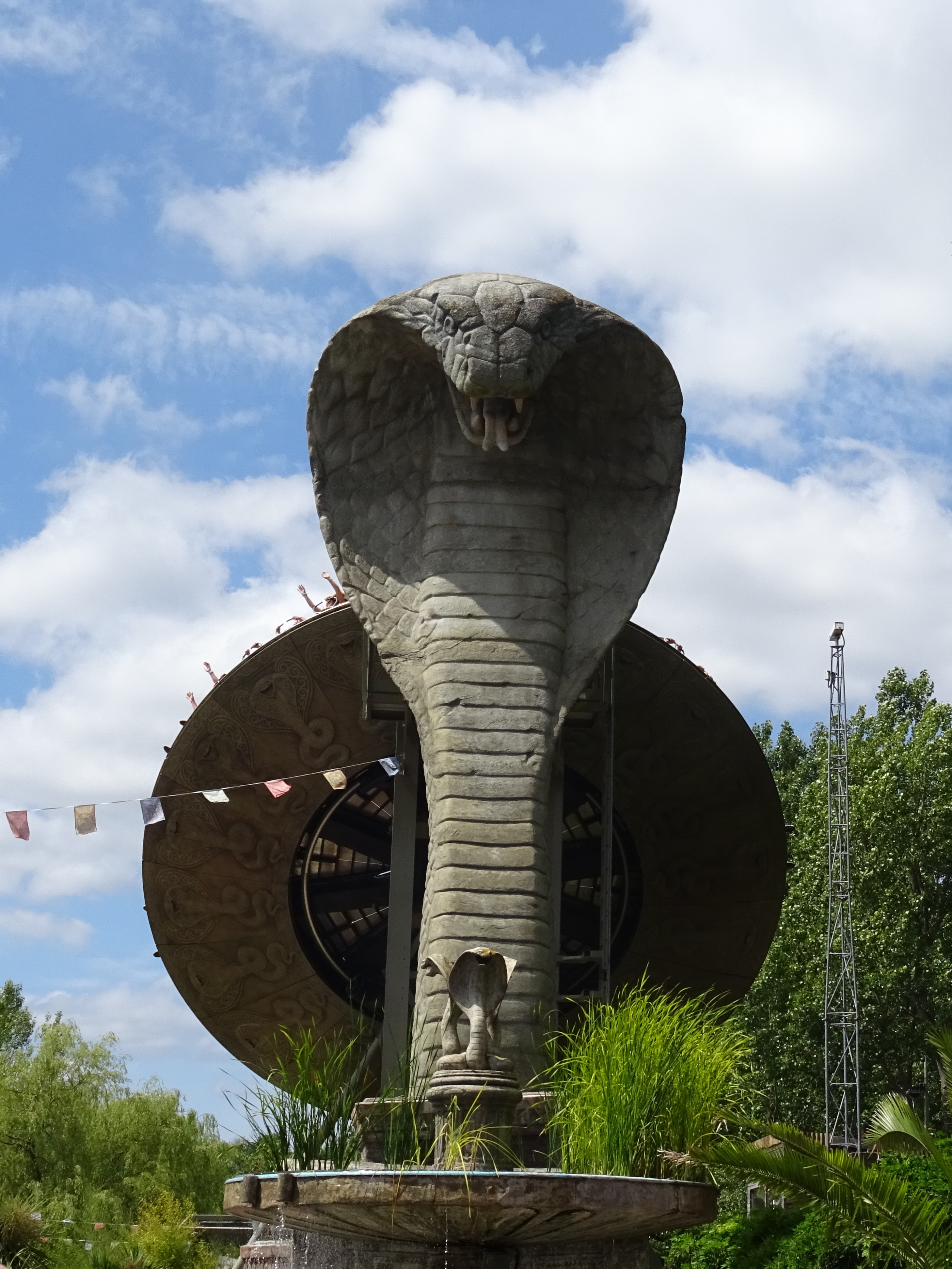
Kobra (ride)

Kobra is a Zamperla Mega Disk’O Coaster which opened in 2010 at Chessington World of Adventures Resort in southwest London, England. As of May 2021, the...
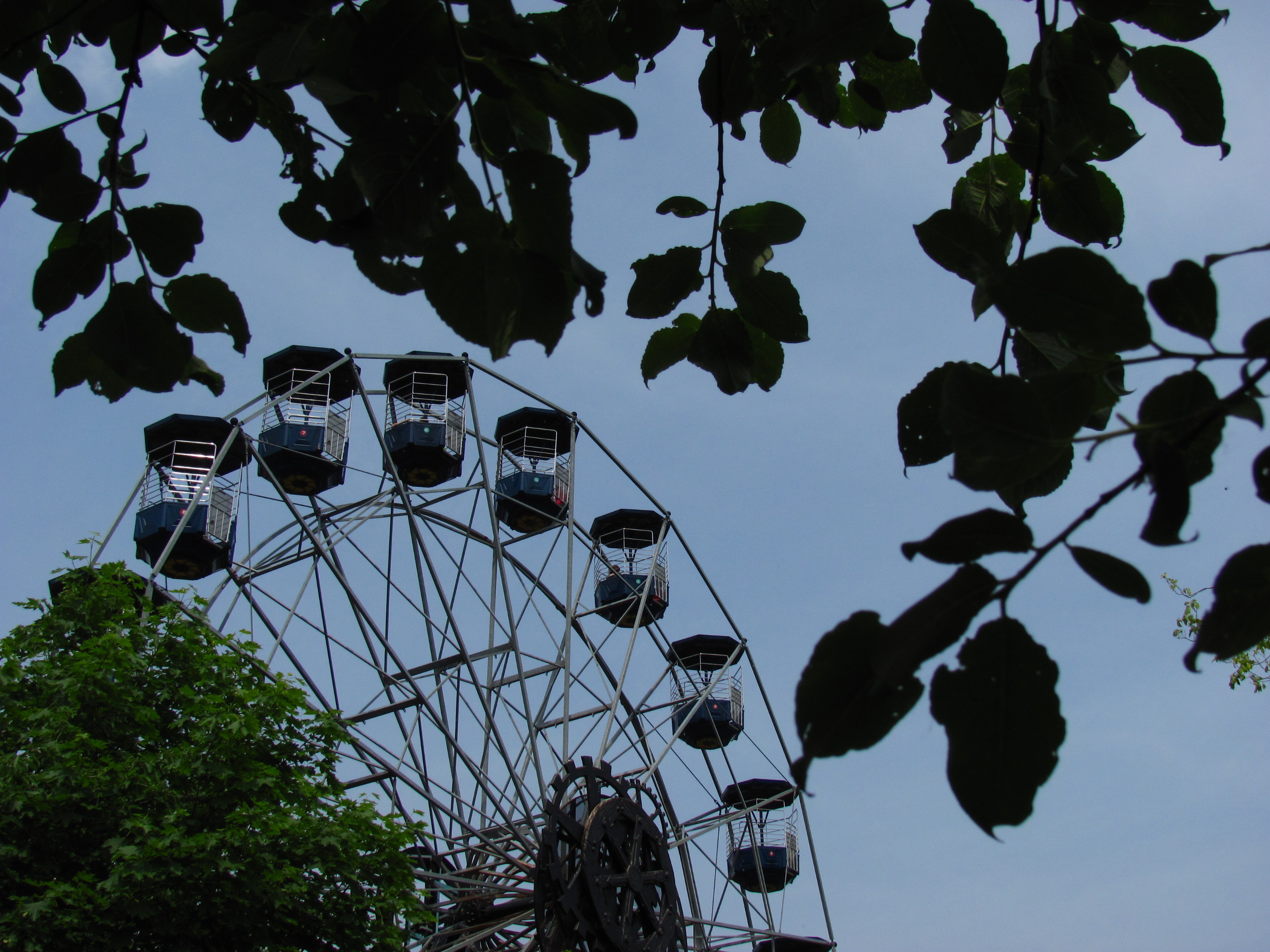
Peeking Heights

Peeking Heights was a Ferris wheel that opened in 2005 at the long-lived Mystic East area of Chessington World of Adventures Resort, where it provided...

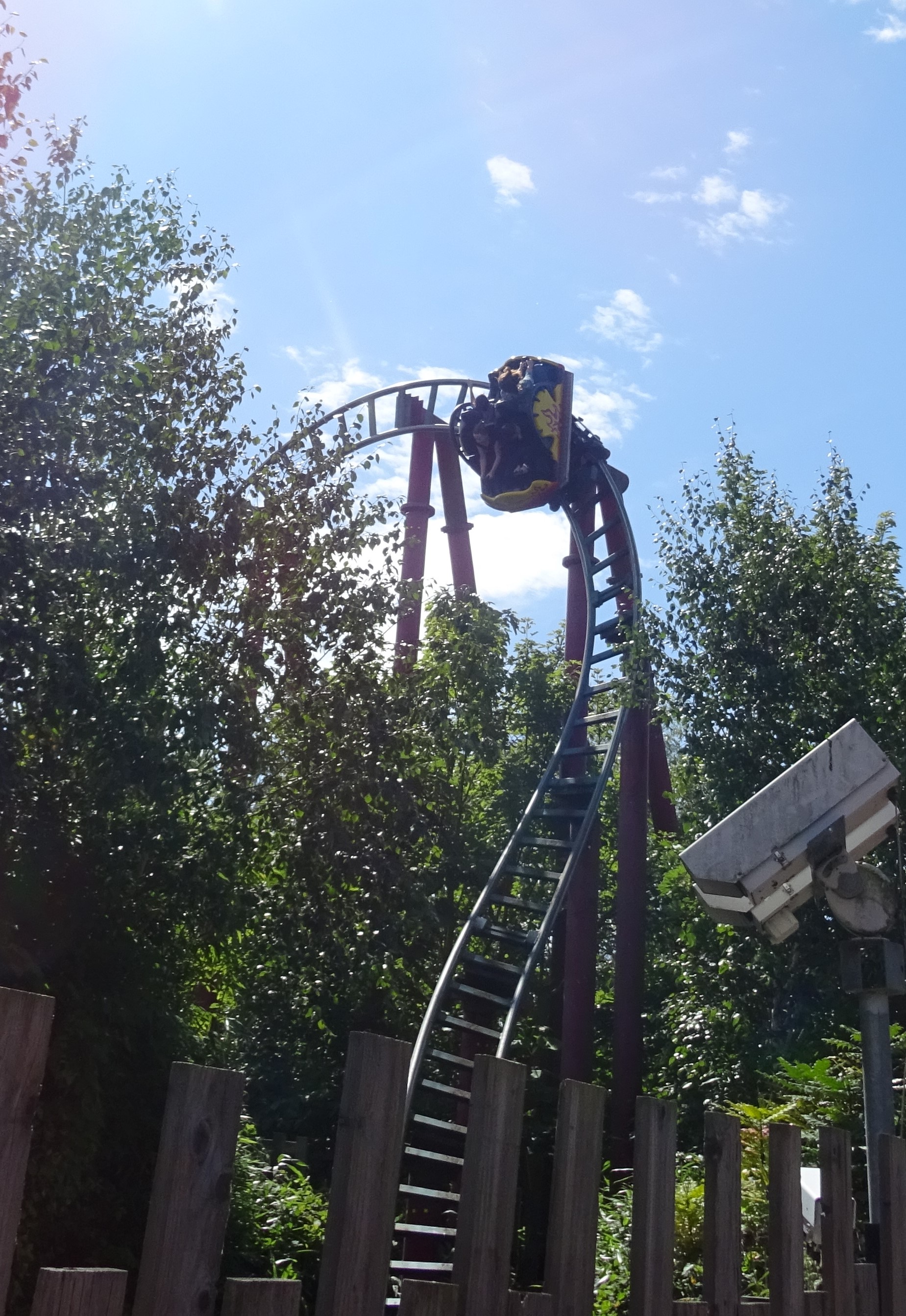
Dragon's Fury (roller coaster)

Dragon's Fury is a steel spinning roller coaster located at Chessington World of Adventures Resort in southwest London, England. Manufactured by Maurer...

Terror Tomb

Terror Tomb (later renamed Forbidden Tomb) was a dark ride attraction at Chessington World of Adventures in southwest London, England, themed as an adventure...

The 5th Dimension (ride)

The 5th Dimension was a dark ride at the Chessington World of Adventures Resort in southwest London, England, when the theme park opened and was the first...

Nearby Amenities

Located within 500m of 51.345935,-0.33815699
Power: tower
Ref: ZM
Lat/Long: 51.3475424/-0.3413733
Power: tower
Ref: ZM
Lat/Long: 51.3469929/-0.3371998
Power: tower
Ref: ZM
Lat/Long: 51.3463228/-0.3318569
Coal tax post
Historic: boundary_stone
Inscription: 24 & 25 VICT CAP 42
Material: iron
Note: Coal tax boundary marker 114
Lat/Long: 51.3486181/-0.3383646
Direction: S
Generator Method: photovoltaic
Generator Output Electricity: yes
Generator Solar Modules: 15
Generator Source: solar
Generator Type: solar_photovoltaic_panel
Location: roof
Power: generator
Lat/Long: 51.3502354/-0.3382745
Colour: white
Marker: post
Material: concrete
Utility: oil
Lat/Long: 51.3426996/-0.3428425
Colour: white
Marker: post
Material: concrete
Utility: oil
Lat/Long: 51.3426887/-0.3427836
Colour: white
Marker: post
Material: concrete
Utility: oil
Lat/Long: 51.3426275/-0.3425778
The data included in this document is from www.openstreetmap.org. The data is made available under ODbL.

Have you been to Milbournehold Plantation?

Leave your review of Milbournehold Plantation below (or comments, questions and feedback).