Hadstock
Civil Parish in Essex Uttlesford
England
Hadstock

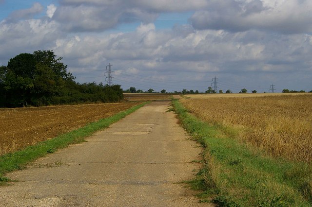
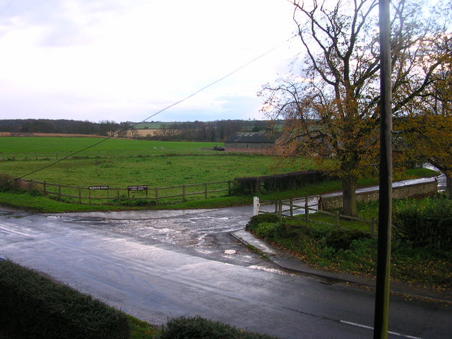
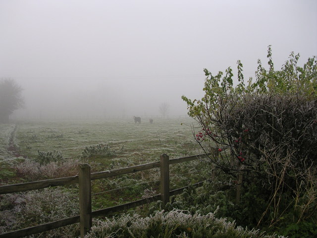
Hadstock is a civil parish located in the Uttlesford district of Essex, England. Situated about 10 miles south of the city of Cambridge, it is a small and picturesque village that is home to around 400 residents. The village is nestled in the scenic countryside and is surrounded by fields and woodlands, offering a tranquil and rural setting.
Hadstock is known for its historical significance, with evidence of human settlement dating back to the Roman period. The village features a number of well-preserved historic buildings, including St. Botolph's Church, which dates back to the 13th century. The church boasts a beautiful tower and stained glass windows, making it a notable architectural landmark in the area.
In addition to its rich history, Hadstock is also renowned for its thriving musical community. The annual Hadstock Festival attracts musicians and artists from all over the region, showcasing a diverse range of music genres and providing a platform for local talent. The festival has gained a reputation for its friendly and welcoming atmosphere, attracting visitors from far and wide.
The village is well-served by amenities, including a primary school, a village hall, and a pub, offering a sense of community and providing essential services for its residents. The surrounding countryside provides ample opportunities for outdoor activities, such as walking, cycling, and exploring the nearby Audley End House and Gardens.
Overall, Hadstock is a charming and peaceful village with a rich history and a vibrant community spirit, making it a desirable place to live for those seeking a rural retreat in Essex.
If you have any feedback on the listing, please let us know in the comments section below.
Hadstock Images
Images are sourced within 2km of 52.077974/0.278464 or Grid Reference TL5644. Thanks to Geograph Open Source API. All images are credited.


Hadstock is located at Grid Ref: TL5644 (Lat: 52.077974, Lng: 0.278464)
Administrative County: Essex
District: Uttlesford
Police Authority: Essex
What 3 Words
///bombshell.rarely.libraries. Near Linton, Cambridgeshire
Nearby Locations
Related Wikis

Hadstock
Hadstock is a village in Essex, England, about 6 miles (10 km) from Saffron Walden. It is on the county boundary with Cambridgeshire and about 9 miles...

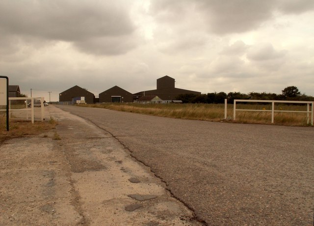
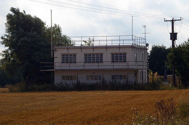
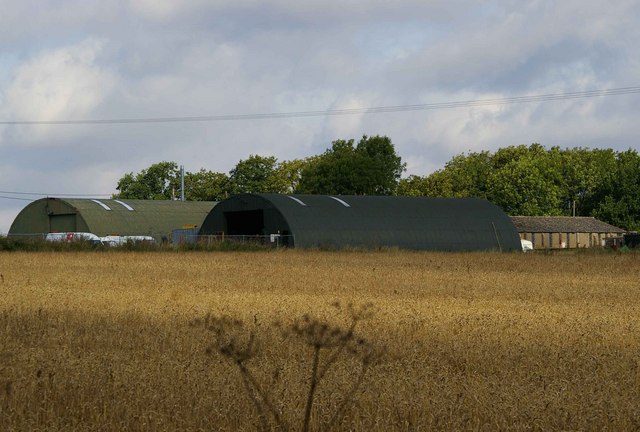
RAF Little Walden
Royal Air Force Little Walden or more simply RAF Little Walden is a former Royal Air Force station primarily used by the United States Army Air Forces...

Nunn Wood
Nunn Wood is a 9.7-hectare (24-acre) biological Site of Special Scientific Interest between Great Chesterford and Ashdon in Essex, England.The site is...
Barham Friary
Barham Friary was a Crutched Friars friary in Linton, Cambridgeshire, England. It was established around 1272 and was dissolved in 1538. == References ==
Linton railway station (Cambridgeshire)
Linton railway station was a railway station in Linton, Cambridgeshire on the Stour Valley Railway. It closed in 1967. The station house is H-shaped and...
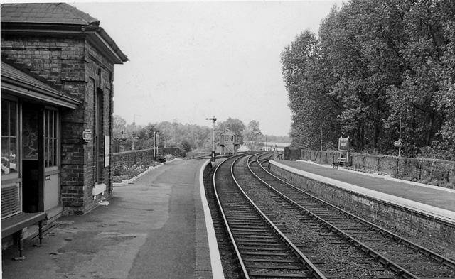
Bartlow railway station
Bartlow railway station was a station in Bartlow, Cambridgeshire on the Stour Valley Railway at the junction with the Saffron Walden Railway. There were...

Linton Village College
Linton Village College is a secondary school in Linton, South Cambridgeshire, England. Established in 1937 as a village college, the school now has academy...

Linton, Cambridgeshire
Linton is a village and civil parish in Cambridgeshire, England, on the border with Essex. The village is approximately 8 miles (13 km) southeast from...
Nearby Amenities
Located within 500m of 52.077974,0.278464Have you been to Hadstock?
Leave your review of Hadstock below (or comments, questions and feedback).