Hadzor
Civil Parish in Worcestershire Wychavon
England
Hadzor
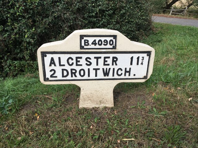
Hadzor is a small civil parish located in the county of Worcestershire, England. Situated approximately 3 miles north of Droitwich Spa, the parish covers an area of around 2.5 square kilometers and has a population of just over 200 people.
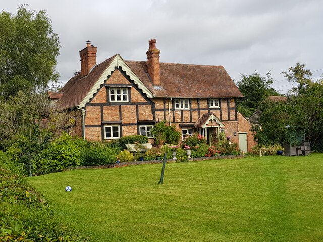
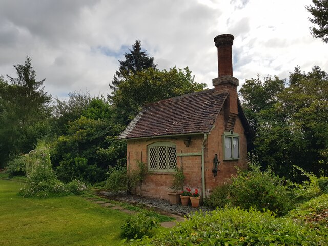
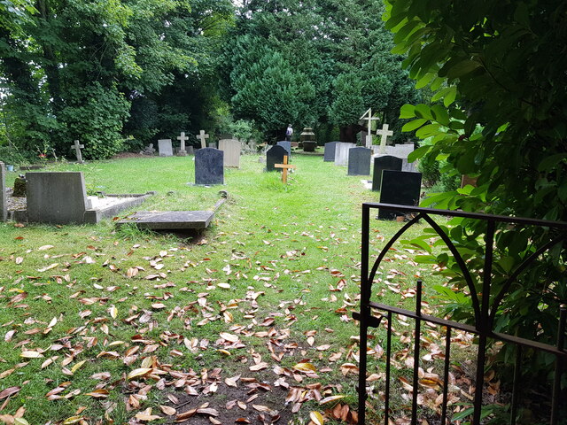
The village of Hadzor is known for its picturesque rural setting, surrounded by rolling countryside and farmland. It is characterized by its charming historic buildings, including a 12th-century church dedicated to St. John the Baptist. The church, with its Norman architecture and beautiful stained glass windows, is a focal point of the village and attracts visitors interested in local history and architecture.
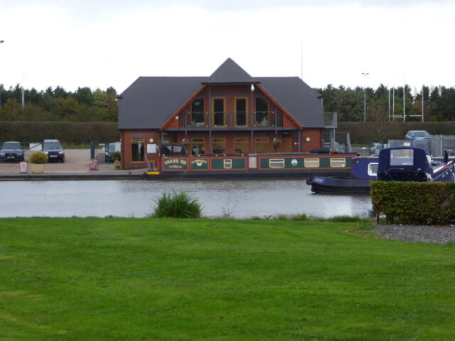
The parish of Hadzor is predominantly residential, with a few local businesses and amenities. Residents have access to a village hall, which hosts various community events and gatherings. The parish also benefits from its close proximity to the nearby town of Droitwich Spa, where residents can find a wider range of services, including shops, schools, and healthcare facilities.
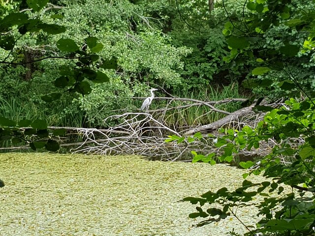
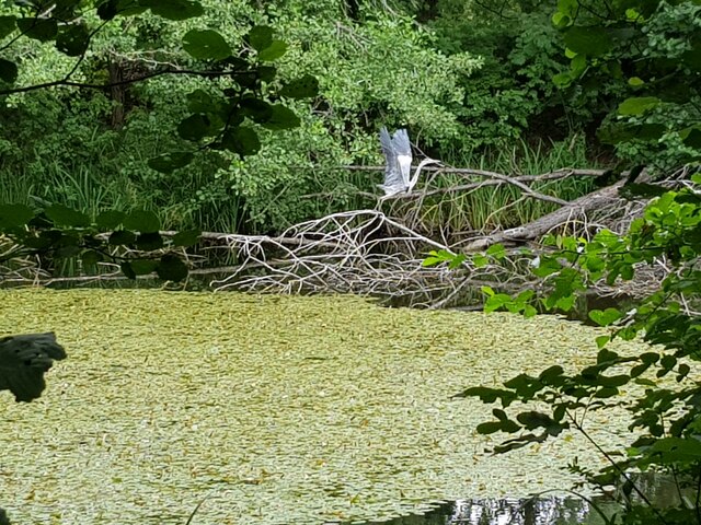
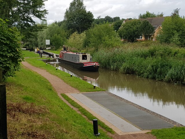
The area surrounding Hadzor offers plenty of opportunities for outdoor activities, such as walking, cycling, and horse riding. The nearby Worcestershire countryside provides stunning views and peaceful surroundings, making it a popular destination for nature enthusiasts and those seeking a tranquil retreat.
Overall, Hadzor offers a peaceful and idyllic rural lifestyle, with its historic charm and natural beauty attracting both residents and visitors alike.
If you have any feedback on the listing, please let us know in the comments section below.
Hadzor Images
Images are sourced within 2km of 52.257156/-2.118622 or Grid Reference SO9262. Thanks to Geograph Open Source API. All images are credited.


Hadzor is located at Grid Ref: SO9262 (Lat: 52.257156, Lng: -2.118622)
Administrative County: Worcestershire
District: Wychavon
Police Authority: West Mercia
What 3 Words
///floating.spending.tangling. Near Droitwich, Worcestershire
Nearby Locations
Related Wikis

Hadzor
Hadzor is a small village near Droitwich, Worcestershire, England. There are around fourteen houses and a Roman Catholic church in the village, although...

Droitwich Road railway station
Droitwich Road railway station served the town of Droitwich Spa, Worcestershire, England, from 1840 to 1855 on the Birmingham and Gloucester Railway....
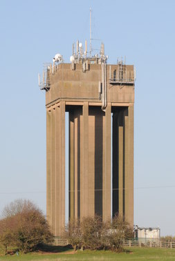
Droitwich Water Tower
The Droitwich Water Tower, also known as Yew Tree Hill Water Tower, is a structure on Yew Tree Hill in Droitwich, England, owned and operated by Severn...

Droitwich Spa Lido
The Droitwich Spa Lido is a lido in Droitwich Spa, Worcestershire, England. It is one of the few remaining inland, open-air salt-water swimming pools...

Chateau Impney
Chateau Impney Hotel & Exhibition Centre is a Grade II* listed 19th-century house built in the style of an elaborate French château near Droitwich Spa...
Dunhampstead
Dunhampstead is a small village in the English county of Worcestershire. It is located about 6 miles to the north-east of Worcester and around half a...

Old Town Hall, Droitwich Spa
The Old Town Hall is a municipal building in St Andrews Street, Droitwich Spa, Worcestershire, England. The structure, which was the headquarters of Droitwich...
RGS Dodderhill
RGS Dodderhill is a private school on the outskirts of Droitwich Spa, Worcestershire, England. Girls & Boys are educated from 2–11 years of age - most...
Nearby Amenities
Located within 500m of 52.257156,-2.118622Have you been to Hadzor?
Leave your review of Hadzor below (or comments, questions and feedback).