Top Spinney
Wood, Forest in Essex Uttlesford
England
Top Spinney

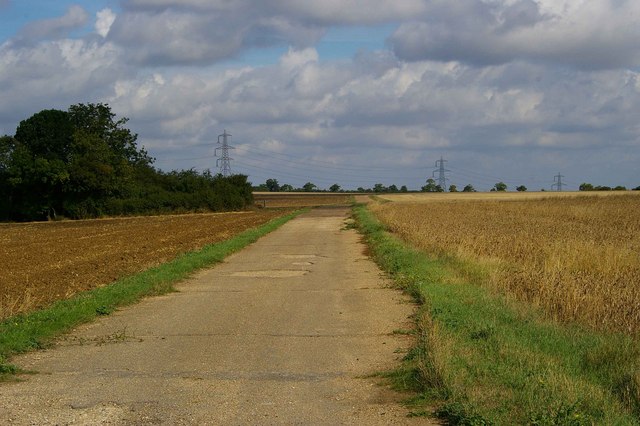
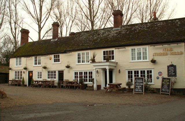
Top Spinney is a picturesque woodland located in Essex, England. Situated in the heart of the county, it covers a vast area of land and is a popular destination for nature enthusiasts and outdoor adventurers alike. The woodland is known for its dense forest cover, containing a variety of tree species such as oak, beech, and birch.
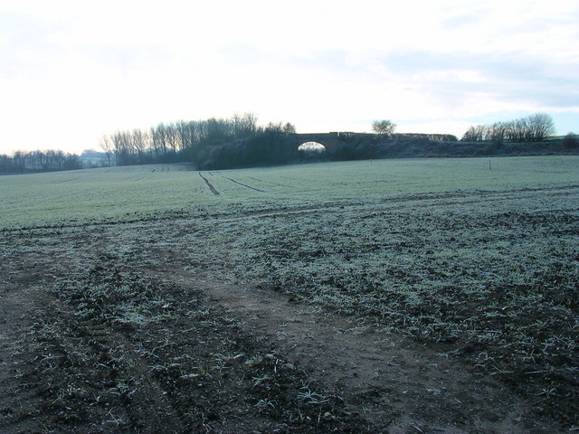
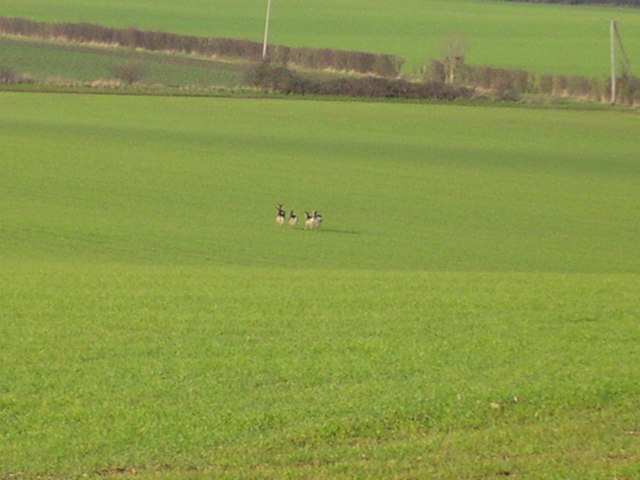
The landscape of Top Spinney is diverse, featuring rolling hills, meandering streams, and charming meadows. It is home to a rich array of wildlife, including deer, foxes, and a wide variety of bird species. The woodland provides a vital habitat for these animals, offering shelter, food, and protection.
Visitors to Top Spinney can explore its numerous walking trails and enjoy the tranquility of the natural surroundings. There are also designated picnic areas and benches scattered throughout the woodland, providing opportunities for relaxation and enjoying a meal amidst the beauty of nature.
The management of Top Spinney is overseen by local authorities in Essex, who work to preserve and enhance the woodland's natural ecosystem. This includes regular maintenance, tree planting initiatives, and ensuring public access is maintained in a sustainable manner.
Overall, Top Spinney is a cherished natural gem in Essex, offering a peaceful retreat from the hustle and bustle of urban life. Its beauty and biodiversity make it a valuable asset to the local community and a must-visit destination for nature lovers.
If you have any feedback on the listing, please let us know in the comments section below.
Top Spinney Images
Images are sourced within 2km of 52.072927/0.28678288 or Grid Reference TL5644. Thanks to Geograph Open Source API. All images are credited.


Top Spinney is located at Grid Ref: TL5644 (Lat: 52.072927, Lng: 0.28678288)
Administrative County: Essex
District: Uttlesford
Police Authority: Essex
What 3 Words
///bulges.scariest.lollipop. Near Linton, Cambridgeshire
Nearby Locations
Related Wikis

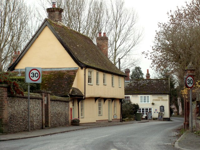
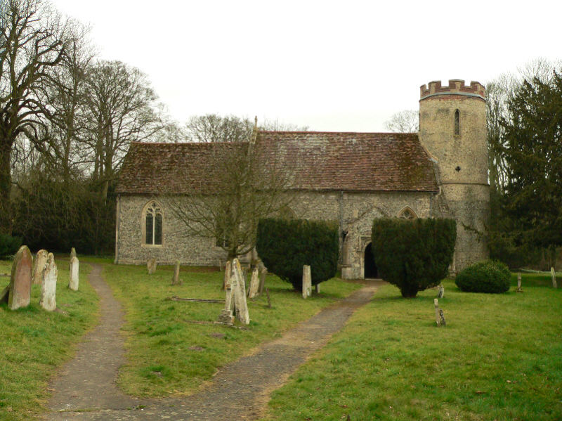
Hadstock
Hadstock is a village in Essex, England, about 6 miles (10 km) from Saffron Walden. It is on the county boundary with Cambridgeshire and about 9 miles...

Nunn Wood
Nunn Wood is a 9.7-hectare (24-acre) biological Site of Special Scientific Interest between Great Chesterford and Ashdon in Essex, England.The site is...

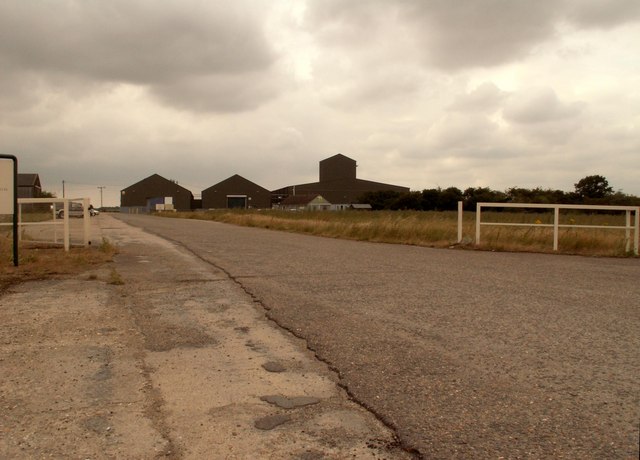
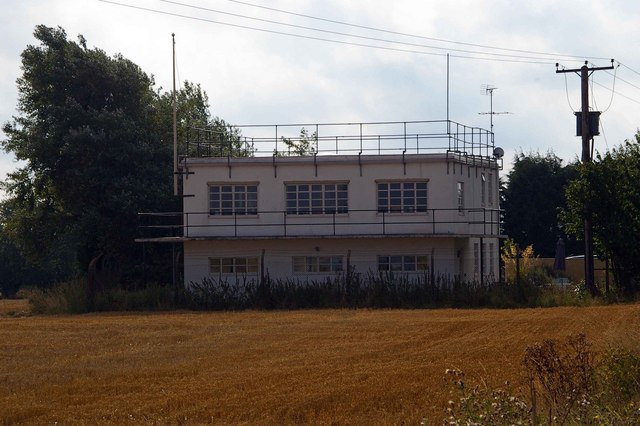
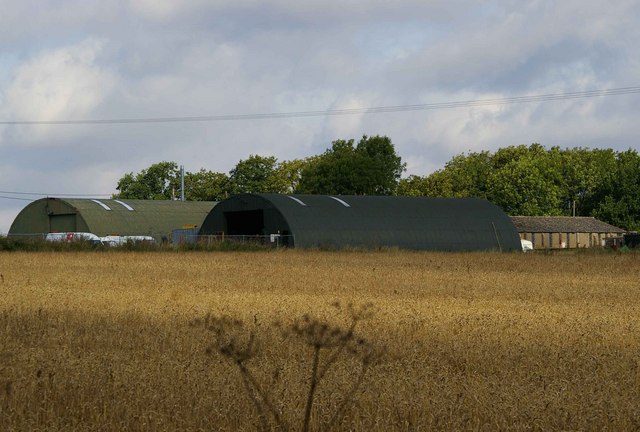
RAF Little Walden
Royal Air Force Little Walden or more simply RAF Little Walden is a former Royal Air Force station primarily used by the United States Army Air Forces...
Bartlow railway station
Bartlow railway station was a station in Bartlow, Cambridgeshire on the Stour Valley Railway at the junction with the Saffron Walden Railway. There were...
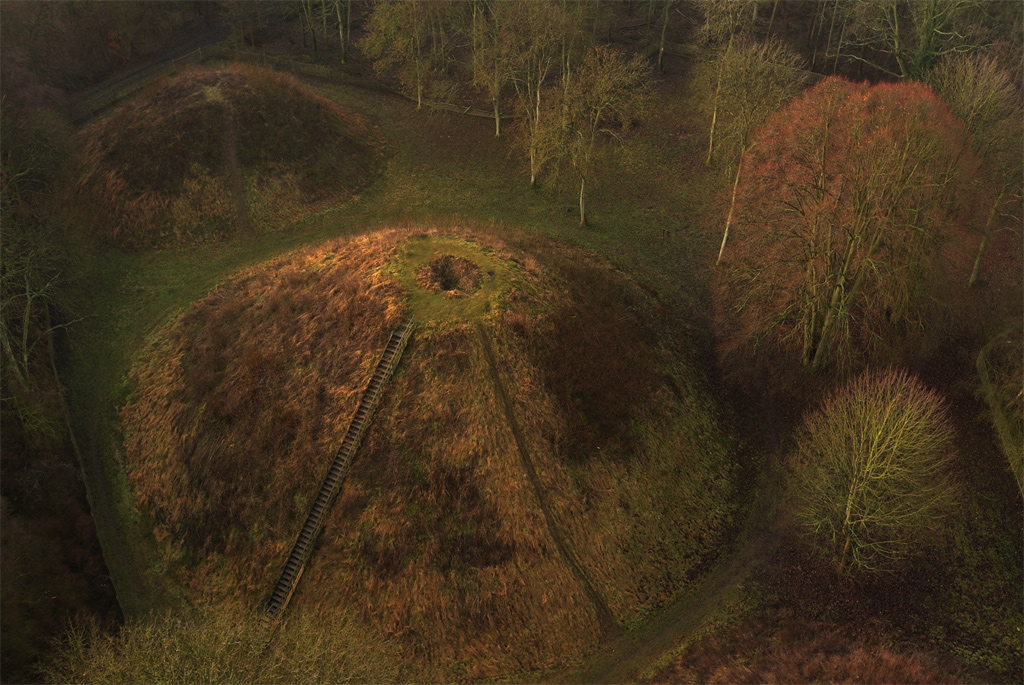
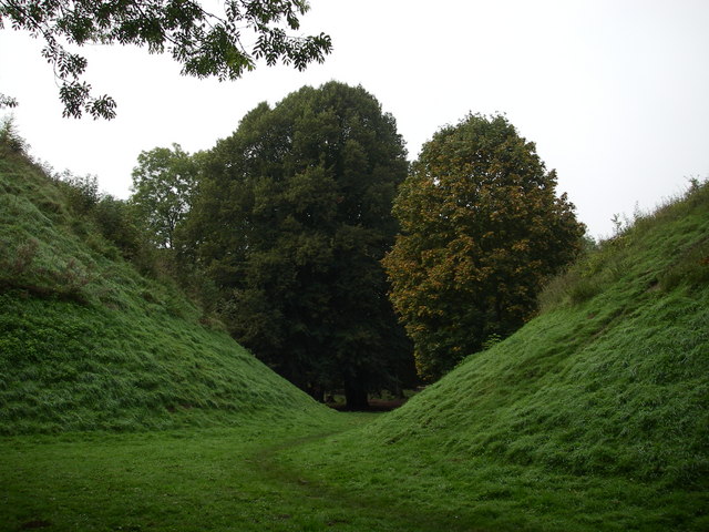
Bartlow Hills
Bartlow Hills is a Roman tumuli cemetery in Bartlow, Cambridgeshire, England. The site was in Essex until a boundary alteration in 1990. Four of the original...
Barham Friary
Barham Friary was a Crutched Friars friary in Linton, Cambridgeshire, England. It was established around 1272 and was dissolved in 1538. == References ==
Bartlow
Bartlow is a small village and civil parish in the South Cambridgeshire district of Cambridgeshire, England, about 12 miles (19 km) south-east of Cambridge...

Ashdon Halt railway station
Ashdon Halt was a railway station on the Saffron Walden Railway. It opened 14 August 1911 and closed 7 September 1964. The halt was approximately 46 miles...
Nearby Amenities
Located within 500m of 52.072927,0.28678288Have you been to Top Spinney?
Leave your review of Top Spinney below (or comments, questions and feedback).