Three Acres
Wood, Forest in Norfolk King's Lynn and West Norfolk
England
Three Acres
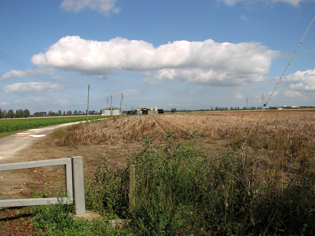
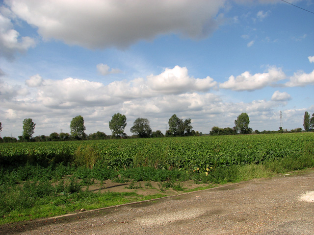
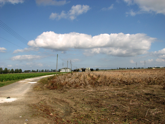
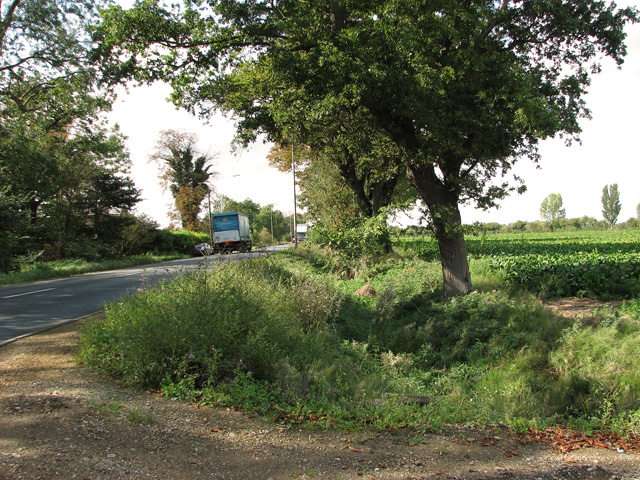
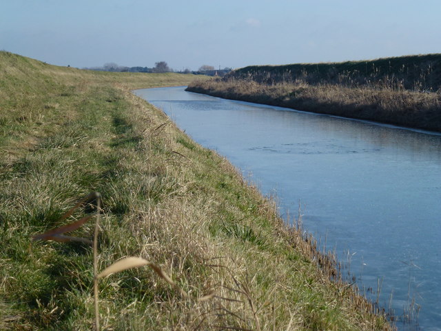
Three Acres, Norfolk is a picturesque woodland area located in the eastern region of England. Spanning over a vast expanse of three acres, this forested area is nestled amidst the tranquil beauty of Norfolk's countryside. The woodland is renowned for its diverse range of trees, including oak, beech, and pine, creating a rich and vibrant ecosystem.
The forest boasts a dense canopy, providing a cool and shaded environment even on the hottest summer days. This natural oasis is home to a myriad of wildlife, including deer, foxes, and a wide array of bird species. Visitors to Three Acres can experience the joy of observing these creatures in their natural habitat, making it a popular destination for nature enthusiasts and birdwatchers.
The forest offers several walking trails and pathways, allowing visitors to explore the area at their own pace. These well-maintained paths wind through the woodland, revealing hidden gems such as babbling brooks and small clearings. The peaceful ambiance and stunning scenery make it an ideal location for leisurely strolls or picnics amidst nature.
Additionally, Three Acres provides a unique opportunity for individuals interested in conservation and forestry. The forest management team actively engages in sustainable practices such as tree planting and maintenance, ensuring the longevity and preservation of this natural gem.
Whether it's a desire to connect with nature, indulge in birdwatching, or simply unwind in a serene environment, Three Acres, Norfolk offers a truly unforgettable experience. With its diverse flora and fauna, well-marked trails, and commitment to conservation, it is a destination that appeals to both nature lovers and those seeking solace in the great outdoors.
If you have any feedback on the listing, please let us know in the comments section below.
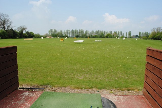
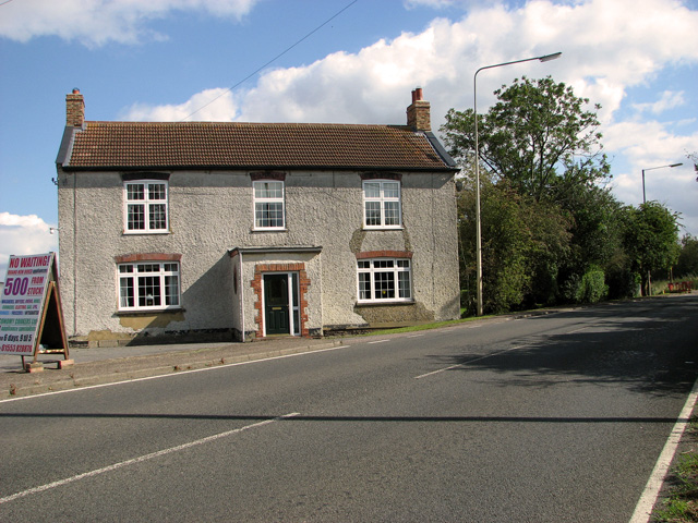
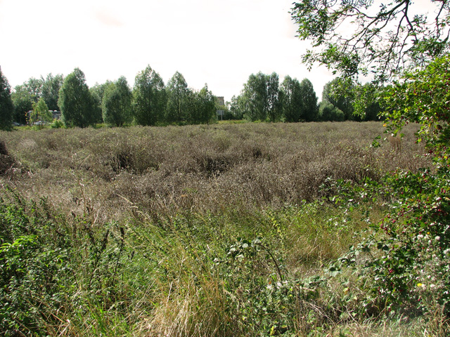
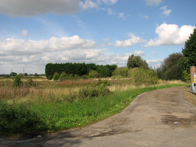
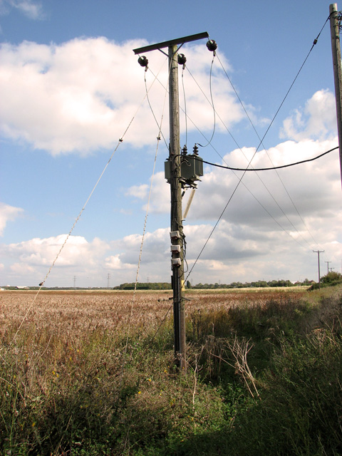
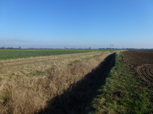
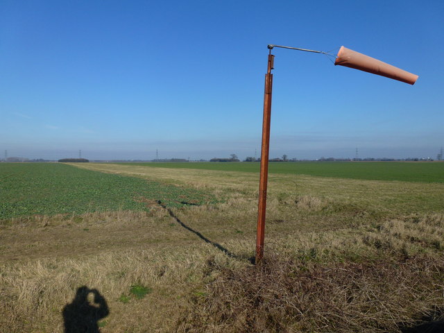
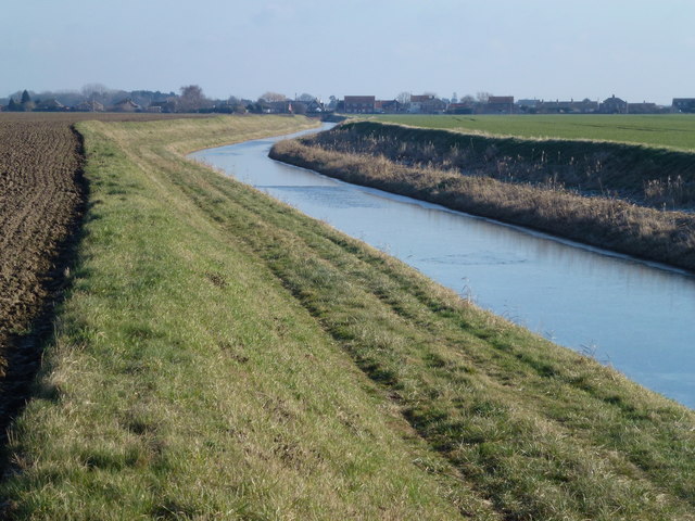
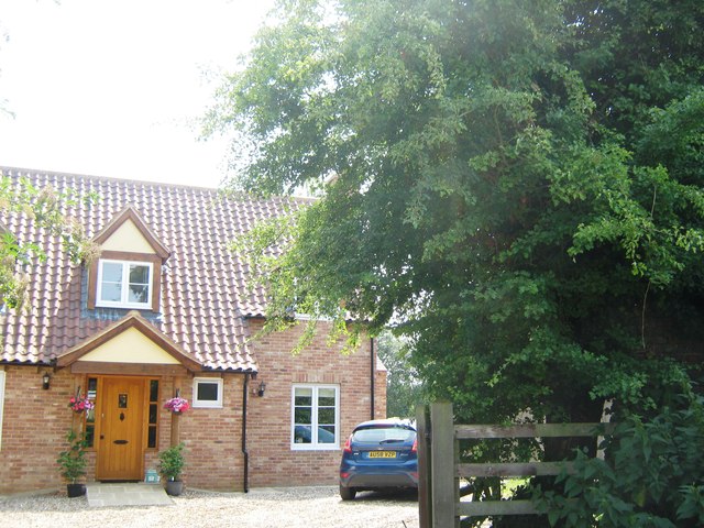
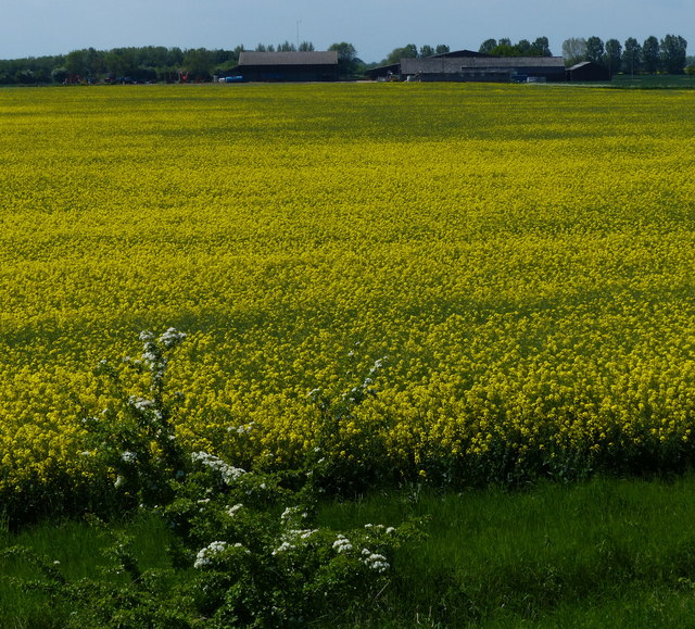
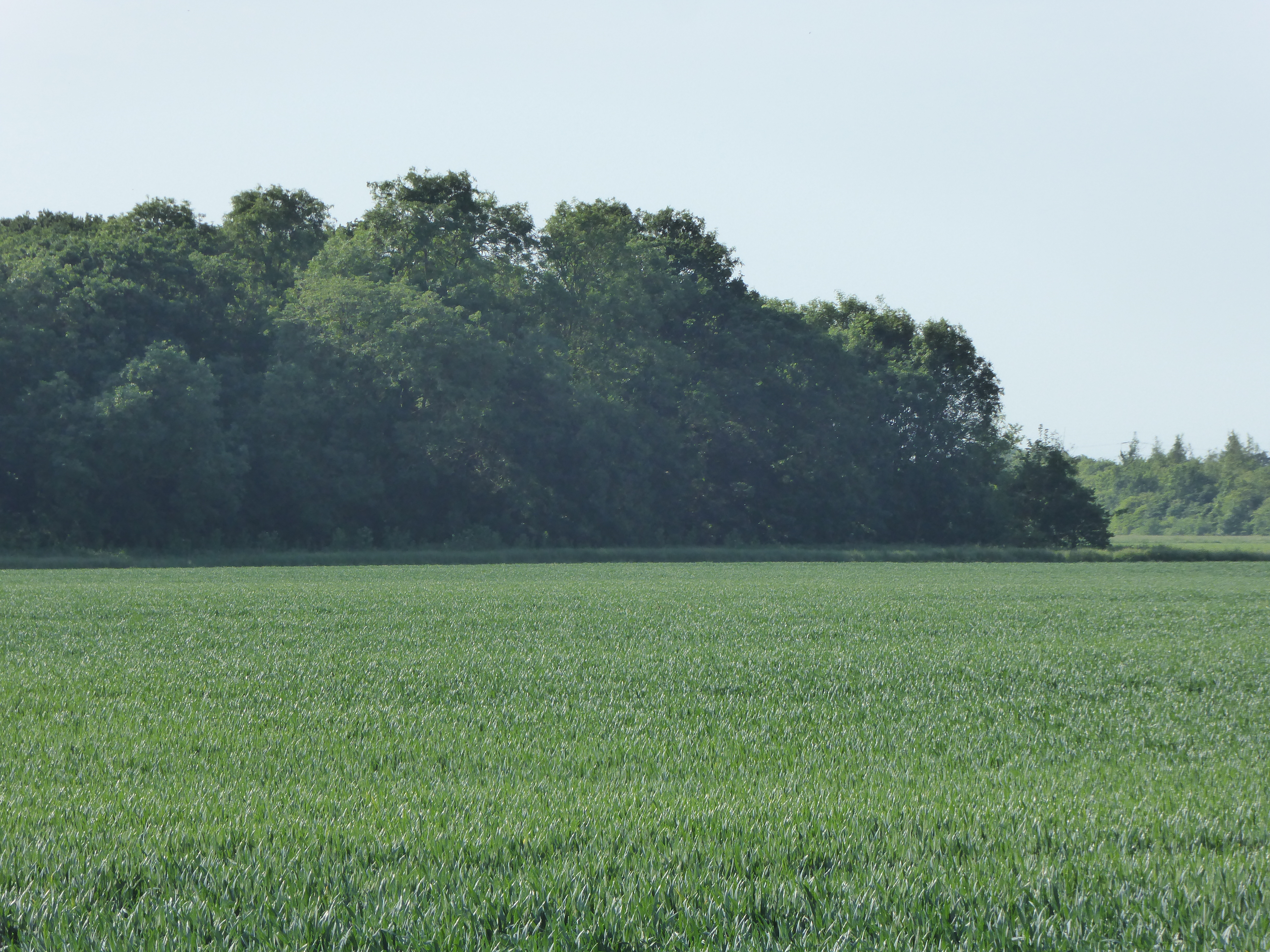
Three Acres Images
Images are sourced within 2km of 52.718255/0.320295 or Grid Reference TF5615. Thanks to Geograph Open Source API. All images are credited.
Three Acres is located at Grid Ref: TF5615 (Lat: 52.718255, Lng: 0.320295)
Administrative County: Norfolk
District: King's Lynn and West Norfolk
Police Authority: Norfolk
What 3 Words
///blanking.deaf.windmills. Near Terrington St John, Norfolk
Nearby Locations
Related Wikis
Islington Heronry
Islington Heronry is a 1.3-hectare (3.2-acre) biological Site of Special Scientific Interest south-west of King's Lynn Norfolk.This stand of mature oaks...
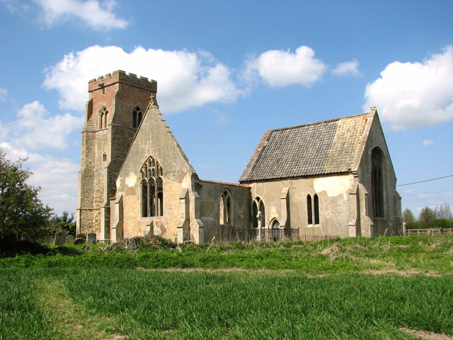
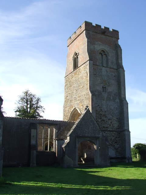
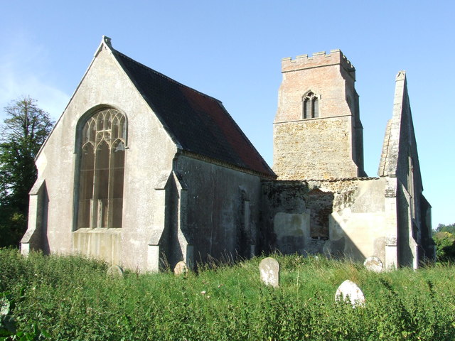
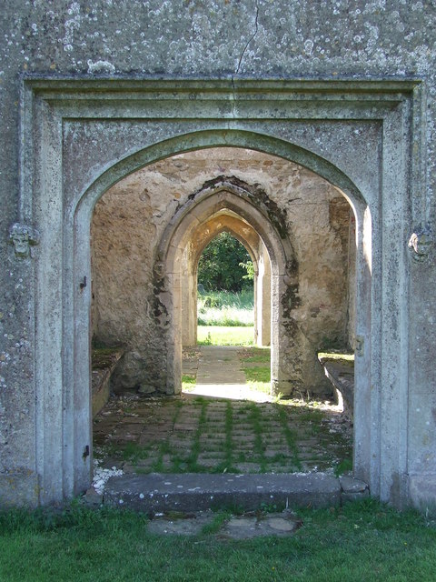
St Mary's Church, Islington, Norfolk
St Mary's Church is a ruined redundant Anglican church in the civil parish of Tilney St Lawrence, Norfolk, England. It is recorded in the National Heritage...

St Mary the Virgin's Church, Wiggenhall
St Mary the Virgin's Church is a redundant Anglican church in the civil parish of Wiggenhall St Germans, Norfolk, England. It is recorded in the National...

Tilney All Saints
Tilney All Saints is a civil parish in the English county of Norfolk. It covers an area of 11.56 km2 (4.46 sq mi) and had a population of 563 in 230 households...

Tilney St Lawrence
Tilney St Lawrence is a village and a civil parish in the English county of Norfolk The village is 52.3 miles (84.2 km) west of Norwich, 9.7 miles (15...

Wiggenhall St Germans SSSI
Wiggenhall St Germans SSSI is a 5.2-hectare (13-acre) geological Site of Special Scientific Interest south of King's Lynn in Norfolk. It is a Geological...

Clenchwarton railway station
Clenchwarton Railway Station is a former train station in Clenchwarton, Norfolk. It was part of the Midland and Great Northern Joint Railway line from...

Wiggenhall St Germans
Wiggenhall St Germans is a village and civil parish in the English county of Norfolk in the East of England. It is 85 miles (137 km) north of London and...
Nearby Amenities
Located within 500m of 52.718255,0.320295Have you been to Three Acres?
Leave your review of Three Acres below (or comments, questions and feedback).