Bromley

Settlement in Staffordshire

England

Bromley

Arizona Crossing, Kingswinford
Arizona Crossing, Kingswinford Credit: Chris Whippet

Bromley is a charming village located in Staffordshire, England. Situated in the picturesque countryside, it is known for its idyllic setting, historical landmarks, and friendly community. With a population of around 1,500 residents, Bromley has a small-town feel that attracts both locals and tourists alike.

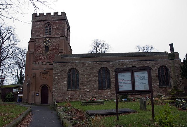
The village is rich in history, with evidence of settlements dating back to the Roman period. One of its prominent landmarks is the St. Peter's Church, a beautiful medieval building that showcases stunning architecture and serves as a reminder of the village's heritage. The church holds regular services and is also a popular venue for weddings and other special events.

Bromley boasts a range of amenities that cater to the needs of its residents. The village has a primary school, a post office, a local shop, and a village hall that hosts various community activities and events. For outdoor enthusiasts, there are several walking and cycling trails in the surrounding countryside, providing stunning views of the Staffordshire landscape.

The village also benefits from its proximity to larger towns and cities. The nearby town of Stafford offers a wider range of amenities, including supermarkets, shopping centers, and leisure facilities. Bromley is well-connected by road, with easy access to the M6 motorway, making it an ideal location for commuters.

Overall, Bromley is a delightful village that offers a peaceful and picturesque setting, rich history, and a close-knit community. Whether you are seeking a tranquil place to live or a scenic destination to explore, Bromley has something to offer everyone.

If you have any feedback on the listing, please let us know in the comments section below.
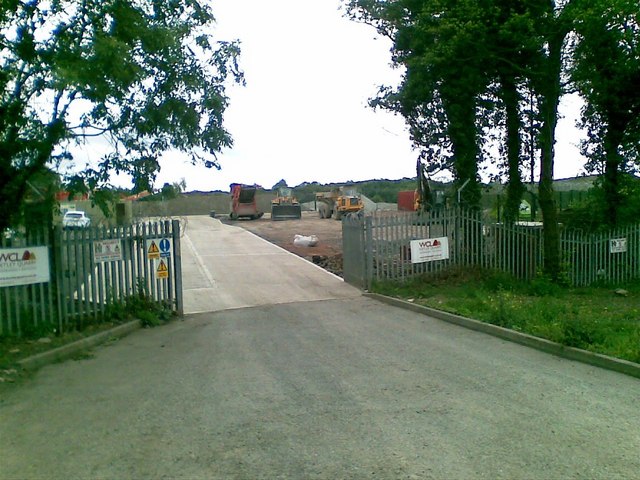
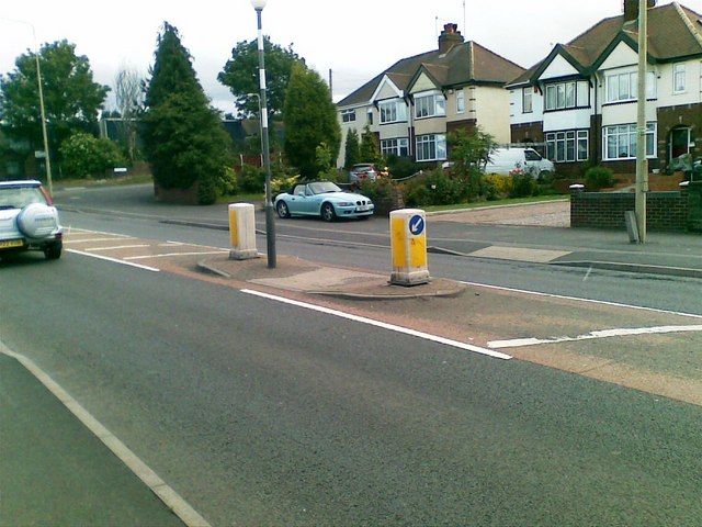
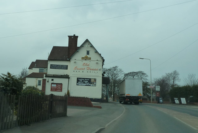
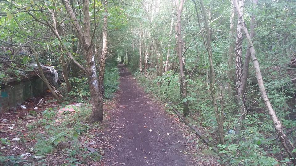
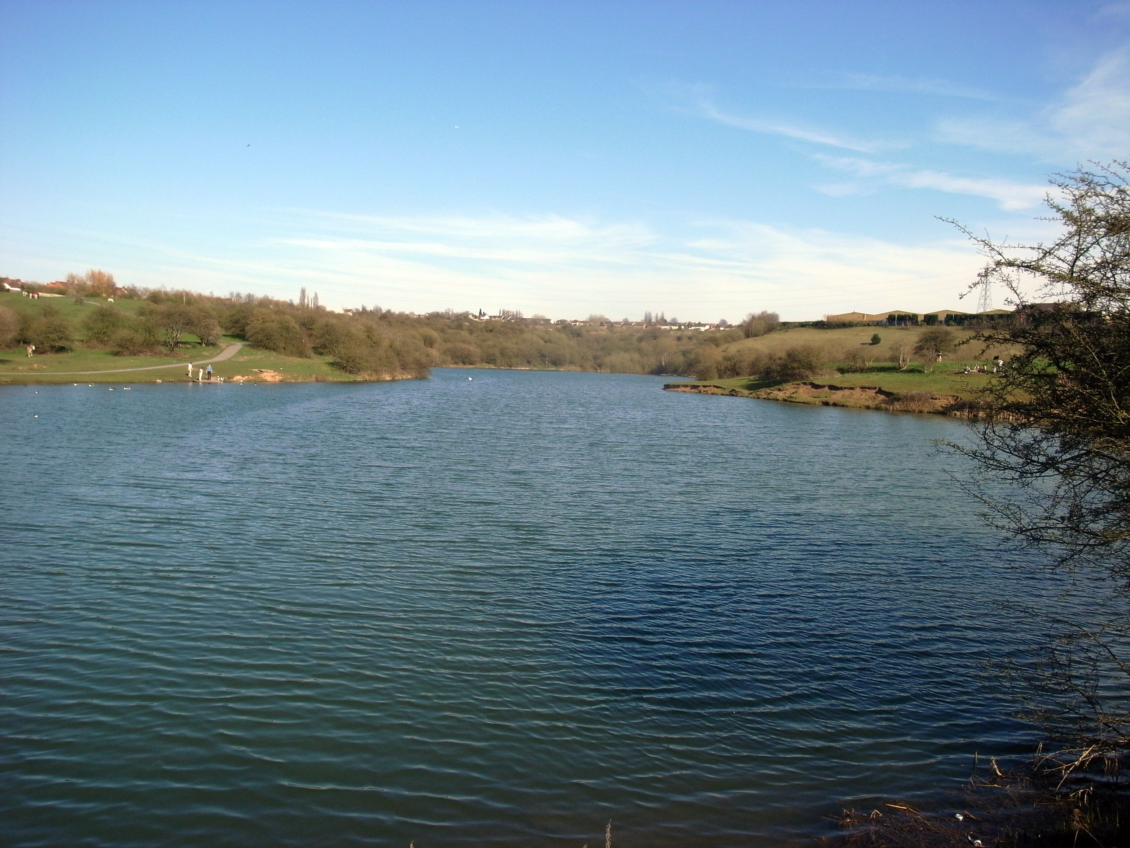
Bromley Images

Images are sourced within 2km of 52.494386/-2.141368 or Grid Reference SO9088. Thanks to Geograph Open Source API. All images are credited.

Arizona Crossing, Kingswinford
Arizona Crossing Pub at the crossroads in Kingswinford which has live music.
Arizona Crossing
Pub at the crossroads in Kingswinford which has live music.
Quarry entrance, Dudley Road
Dudley Road, Dudley
Dudley Road, Dudley
Stourbridge Canal View The view of the Stourbridge Canal sixteen locks looking towards Swan Lane.
Stourbridge Canal View
The view of the Stourbridge Canal sixteen locks looking towards Swan Lane.
Swan Lane Bridge The view of the Stourbridge Canal in the middle of the sixteen locks.
Swan Lane Bridge
The view of the Stourbridge Canal in the middle of the sixteen locks.
No 7 Lock The view on the Stourbridge Canal in the sixteen lock flight.
No 7 Lock
The view on the Stourbridge Canal in the sixteen lock flight.
Swan Lane Signpost The view from the Stourbridge Canal towards Swan Lane.
Swan Lane Signpost
The view from the Stourbridge Canal towards Swan Lane.
The Queens Head (1), 129 High Street, Wordsley, Stourbridge An old pub on the corner of High Street and Queen Street, which has since January 2009 been one of the taphouses of local independent brewery Enville Ales.

<a href="https://www.geograph.org.uk/photo/2670097">SO8987 : The Queens Head (2), 129 High Street, Wordsley, Stourbridge</a>.
<a href="https://www.geograph.org.uk/photo/2670109">SO8987 : The Queens Head (3) - sign, 129 High Street, Wordsley, Stourbridge</a>.
The Queens Head (1), 129 High Street, Wordsley, Stourbridge
An old pub on the corner of High Street and Queen Street, which has since January 2009 been one of the taphouses of local independent brewery Enville Ales. SO8987 : The Queens Head (2), 129 High Street, Wordsley, Stourbridge. SO8987 : The Queens Head (3) - sign, 129 High Street, Wordsley, Stourbridge.
The Queens Head (2), 129 High Street, Wordsley, Stourbridge A tap house of Enville Alea, a local independent brewery.

<a href="https://www.geograph.org.uk/photo/2670077">SO8987 : The Queens Head (1), 129 High Street, Wordsley, Stourbridge</a>.
<a href="https://www.geograph.org.uk/photo/2670109">SO8987 : The Queens Head (3) - sign, 129 High Street, Wordsley, Stourbridge</a>.
The Queens Head (2), 129 High Street, Wordsley, Stourbridge
The Queens Head (3) - sign, 129 High Street, Wordsley, Stourbridge This sign makes no mention of the pub's name, but it does appear on a large sign attached to the pub's front.

<a href="https://www.geograph.org.uk/photo/2670077">SO8987 : The Queens Head (1), 129 High Street, Wordsley, Stourbridge</a>.
<a href="https://www.geograph.org.uk/photo/2670097">SO8987 : The Queens Head (2), 129 High Street, Wordsley, Stourbridge</a>.
The Queens Head (3) - sign, 129 High Street, Wordsley, Stourbridge
This sign makes no mention of the pub's name, but it does appear on a large sign attached to the pub's front. SO8987 : The Queens Head (1), 129 High Street, Wordsley, Stourbridge. SO8987 : The Queens Head (2), 129 High Street, Wordsley, Stourbridge.
The New Inn (1), 117 High Street, Wordsley, Stourbridge One of the small number of pubs owned by Bathams, the famous family run Black Country brewers. Although most of the pubs are in and around the Black Country, one is in North Wales. The New Inn only became a Bathams pub in April 2008.

<a href="https://www.geograph.org.uk/photo/2671503">SO8987 : The New Inn (2) - sign, 117 High Street, Wordsley, Stourbridge</a>.
<a href="https://www.geograph.org.uk/photo/2671518">SO8987 : The New Inn (3) - beer garden, 117 High Street, Wordsley, Stourbridge</a>.
The New Inn (1), 117 High Street, Wordsley, Stourbridge
One of the small number of pubs owned by Bathams, the famous family run Black Country brewers. Although most of the pubs are in and around the Black Country, one is in North Wales. The New Inn only became a Bathams pub in April 2008. SO8987 : The New Inn (2) - sign, 117 High Street, Wordsley, Stourbridge. SO8987 : The New Inn (3) - beer garden, 117 High Street, Wordsley, Stourbridge.
The New Inn (2) - sign, 117 High Street, Wordsley, Stourbridge Records show that the building had become a pub by the 1820's, possibly earlier, and certainly it is older than that. The brewery, Bathams, suggest it may perhaps have once been a farmhouse. The pub sign shows a group of people who appear to be in 17th century dress.

<a href="https://www.geograph.org.uk/photo/2671487">SO8987 : The New Inn (1), 117 High Street, Wordsley, Stourbridge</a>.
<a href="https://www.geograph.org.uk/photo/2671518">SO8987 : The New Inn (3) - beer garden, 117 High Street, Wordsley, Stourbridge</a>.
The New Inn (2) - sign, 117 High Street, Wordsley, Stourbridge
Records show that the building had become a pub by the 1820's, possibly earlier, and certainly it is older than that. The brewery, Bathams, suggest it may perhaps have once been a farmhouse. The pub sign shows a group of people who appear to be in 17th century dress. SO8987 : The New Inn (1), 117 High Street, Wordsley, Stourbridge. SO8987 : The New Inn (3) - beer garden, 117 High Street, Wordsley, Stourbridge.
The New Inn (3) - beer garden, 117 High Street, Wordsley, Stourbridge The beer garden, behind the pub, was opened in 2008, following the takeover of the pub by Bathams Brewery.

<a href="https://www.geograph.org.uk/photo/2671487">SO8987 : The New Inn (1), 117 High Street, Wordsley, Stourbridge</a>.
<a href="https://www.geograph.org.uk/photo/2671503">SO8987 : The New Inn (2) - sign, 117 High Street, Wordsley, Stourbridge</a>.
The New Inn (3) - beer garden, 117 High Street, Wordsley, Stourbridge
The beer garden, behind the pub, was opened in 2008, following the takeover of the pub by Bathams Brewery. SO8987 : The New Inn (1), 117 High Street, Wordsley, Stourbridge. SO8987 : The New Inn (2) - sign, 117 High Street, Wordsley, Stourbridge.
St Mary's Kingswinford Church and churchyard of St Mary's C of E Kingswinford
St Mary's Kingswinford
Church and churchyard of St Mary's C of E Kingswinford
The Cross The crossroads of Summer Hill and Market Street, Kingswinford.
The Cross
The crossroads of Summer Hill and Market Street, Kingswinford.
Stourbridge canal, south of Swan Lane Bridge But the nesting birds are coots, not swans.
Stourbridge canal, south of Swan Lane Bridge
But the nesting birds are coots, not swans.
The Old Court House on the A4101
Show me another place!

Bromley is located at Grid Ref: SO9088 (Lat: 52.494386, Lng: -2.141368)

Unitary Authority: Dudley

Police Authority: West Midlands

What 3 Words

///lively.doctor.wishes. Near Kingswinford, West Midlands

Nearby Locations

Bromley

Related Wikis

Pensnett High School

Pensnett High School was a secondary school located in the Pensnett area of the Dudley Metropolitan Borough, in the West Midlands of England. There were...

Bromley Halt railway station

Bromley Halt was a small railway stop on the Wombourne Branch Line. It had very poor patronage and, along with the rest of the line's passenger stations...

Bromley, West Midlands

Bromley is a residential area of Kingswinford, West Midlands, England.It was a rural area for many centuries, mostly consisting of farmland, but since...

Dudley Town F.C.

Dudley Town Football Club is a football club based in Dudley, West Midlands, England. The club is one of the oldest non-league teams in the Midlands region...

Ketley Claypit

Ketley Claypit is a 13.7 hectares (34 acres) geological site of Special Scientific Interest in the West Midlands. The site was notified in 1990 under the...

The Crestwood School

The Crestwood School is a coeducational secondary school with academy status in Kingswinford, West Midlands, England. It is an 11-18 comprehensive school...

Buckpool and Fens Pool Local Nature Reserve

Buckpool and Fens Pool Local Nature Reserve is situated in the Pensnett area of the West Midlands. The largest area of open water in Dudley Metropolitan...

Pensnett Halt railway station

Pensnett Halt was a small railway stop on the Wombourne Branch Line. It was opened by the Great Western Railway in 1925 and closed in 1932. The halt served...

Nearby Amenities

Located within 500m of 52.494386,-2.141368
Bus Stop
Bromley Lane / Albermarle Rd
NaPTANAreaCode: 43000846301
Bus: yes
Naptan AtcoCode: 43000846301
Naptan Bearing: E
Naptan BusStopType: MKD
Naptan CommonName: Albermarle Rd
Naptan Indicator: adj
Naptan NaptanCode: nwmjwdwj
Naptan PlusbusZoneRef: BHAMNWS
Naptan Status: ACT
Naptan StopType: BCT
Naptan Street: BROMLEY LANE
Naptan Towards: Dudley, Brierley Hill
Naptan Verified: no
Public Transport: platform
Route Ref: 226;255
Shelter: yes
Shelter Ref: 406706
Source: WMCA
Lat/Long: 52.4901104/-2.1429819
Bus Stop
Tiled House Lane / Tiled House Lane
Bus: yes
Naptan AtcoCode: 43000847201
Naptan Bearing: NE
Naptan BusStopType: MKD
Naptan CommonName: Tiled House Lane
Naptan Indicator: NE-bound
Naptan NaptanCode: nwmjwgat
Naptan PlusbusZoneRef: BHAMNWS
Naptan Status: ACT
Naptan StopType: BCT
Naptan Street: TILED HOUSE LANE
Naptan Towards: Dudley, Brierley Hill
Naptan Verified: no
Public Transport: platform
Route Ref: 226;255
Source: WMCA
Lat/Long: 52.4968482/-2.1378594
Bus Stop
Tiled House Lane / Tiled House Lane
Bus: yes
Naptan AtcoCode: 43000847202
Naptan Bearing: SW
Naptan BusStopType: MKD
Naptan CommonName: Tiled House Lane
Naptan Indicator: SW-bound
Naptan NaptanCode: nwmjwgaw
Naptan PlusbusZoneRef: BHAMNWS
Naptan Status: ACT
Naptan StopType: BCT
Naptan Street: TILED HOUSE LANE
Naptan Towards: Kingswinford
Naptan Verified: no
Public Transport: platform
Route Ref: 226;255
Source: WMCA
Lat/Long: 52.4966501/-2.138065
Bus Stop
Tiled House Lane / Pensnett School
Bus: yes
Naptan AtcoCode: 43000847701
Naptan Bearing: N
Naptan BusStopType: MKD
Naptan CommonName: Pensnett School
Naptan Indicator: adj
Naptan NaptanCode: nwmjwgdp
Naptan PlusbusZoneRef: BHAMNWS
Naptan Status: ACT
Naptan StopType: BCT
Naptan Street: TILED HOUSE LANE
Naptan Towards: Dudley, Brierley Hill
Naptan Verified: no
Public Transport: platform
Route Ref: 226;255
Source: WMCA
Lat/Long: 52.4952284/-2.1391237
Bus Stop
Tiled House Lane / Pensnett School
Bus: yes
Naptan AtcoCode: 43000847702
Naptan Bearing: S
Naptan BusStopType: MKD
Naptan CommonName: Pensnett School
Naptan Indicator: opp
Naptan NaptanCode: nwmjwgdt
Naptan PlusbusZoneRef: BHAMNWS
Naptan Status: ACT
Naptan StopType: BCT
Naptan Street: TILED HOUSE LANE
Naptan Towards: Kingswinford
Naptan Verified: no
Public Transport: platform
Route Ref: 226;255
Source: WMCA
Lat/Long: 52.4950782/-2.1389801
Bus Stop
Bromley Lane / Rookery Park
NaPTANAreaCode: 43000847801
Bus: yes
Naptan AtcoCode: 43000847801
Naptan Bearing: N
Naptan BusStopType: MKD
Naptan CommonName: Rookery Park
Naptan Indicator: adj
Naptan Landmark: Jolly Collier
Naptan NaptanCode: nwmjwgdw
Naptan PlusbusZoneRef: BHAMNWS
Naptan Status: ACT
Naptan StopType: BCT
Naptan Street: BROMLEY LANE
Naptan Towards: Dudley, Brierley Hill
Naptan Verified: no
Public Transport: platform
Route Ref: 226;255
Shelter: yes
Shelter Ref: 406707
Source: WMCA
Lat/Long: 52.4914886/-2.1390357
Bus Stop
Bromley Lane / Rookery Park
Bus: yes
Naptan AtcoCode: 43000847802
Naptan Bearing: SW
Naptan BusStopType: MKD
Naptan CommonName: Rookery Park
Naptan Indicator: opp
Naptan Landmark: Jolly Collier
Naptan NaptanCode: nwmjwgja
Naptan PlusbusZoneRef: BHAMNWS
Naptan Status: ACT
Naptan StopType: BCT
Naptan Street: BROMLEY LANE
Naptan Towards: Kingswinford
Naptan Verified: no
Public Transport: platform
Route Ref: 226;255
Source: WMCA
Lat/Long: 52.4915608/-2.1388444
Bus Stop
Bromley Lane / Bryce Rd
Bus: yes
Naptan AtcoCode: 43000847901
Naptan Bearing: NE
Naptan BusStopType: MKD
Naptan CommonName: Bryce Rd
Naptan Indicator: adj
Naptan NaptanCode: nwmjwgjd
Naptan PlusbusZoneRef: BHAMNWS
Naptan Status: ACT
Naptan StopType: BCT
Naptan Street: BROMLEY LANE
Naptan Towards: Dudley, Brierley Hill
Naptan Verified: no
Public Transport: platform
Route Ref: 226;255
Source: WMCA
Lat/Long: 52.4906338/-2.139681
Bus Stop
Bromley Lane / Bryce Rd
Bus: yes
Naptan AtcoCode: 43000847902
Naptan Bearing: SW
Naptan BusStopType: MKD
Naptan CommonName: Bryce Rd
Naptan Indicator: opp
Naptan NaptanCode: nwmtmjwt
Naptan PlusbusZoneRef: BHAMNWS
Naptan Status: ACT
Naptan StopType: BCT
Naptan Street: BROMLEY LANE
Naptan Towards: Kingswinford
Naptan Verified: no
Public Transport: platform
Route Ref: 226;255
Source: WMCA
Lat/Long: 52.490553/-2.1395777
Bromley
Is In: Dudley
Place: village
Wikidata: Q4973664
Lat/Long: 52.4915505/-2.1443768
Crossing
Crossing: uncontrolled
Lat/Long: 52.4934655/-2.1389179
Turning Circle
Source: bing
Lat/Long: 52.4964952/-2.1402927
Public Transport: stop_position
Lat/Long: 52.490583/-2.1396346
Crossing
Crossing: uncontrolled
Lat/Long: 52.4902591/-2.143975
Turning Circle
Source: bing
Lat/Long: 52.4927078/-2.1424179
Turning Circle
Source: bing
Lat/Long: 52.4933135/-2.1405918
Mini Roundabout
Direction: clockwise
Source: bing
Lat/Long: 52.4961298/-2.1396071
Turning Circle
Source: bing
Lat/Long: 52.4966446/-2.1357531
Crossing
Crossing: traffic_signals
Source: bing
Lat/Long: 52.4935865/-2.1352763
Generator Method: photovoltaic
Generator Output Electricity: yes
Generator Source: solar
Generator Type: solar_photovoltaic_panel
Location: roof
Power: generator
Lat/Long: 52.4964437/-2.1468414
Generator Method: photovoltaic
Generator Output Electricity: yes
Generator Source: solar
Generator Type: solar_photovoltaic_panel
Location: roof
Power: generator
Lat/Long: 52.4964575/-2.1467248
Generator Method: photovoltaic
Generator Output Electricity: yes
Generator Source: solar
Generator Type: solar_photovoltaic_panel
Location: roof
Power: generator
Lat/Long: 52.495619/-2.1452066
Generator Method: photovoltaic
Generator Output Electricity: yes
Generator Source: solar
Generator Type: solar_photovoltaic_panel
Location: roof
Power: generator
Lat/Long: 52.494182/-2.1477628
Generator Method: photovoltaic
Generator Output Electricity: yes
Generator Source: solar
Generator Type: solar_photovoltaic_panel
Location: roof
Power: generator
Lat/Long: 52.4906185/-2.1414596
Barrier: bollard
Lat/Long: 52.4969369/-2.139531
The data included in this document is from www.openstreetmap.org. The data is made available under ODbL.

Have you been to Bromley?

Leave your review of Bromley below (or comments, questions and feedback).