Bromley
Settlement in Shropshire
England
Bromley

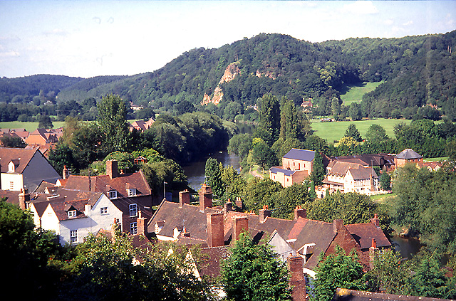
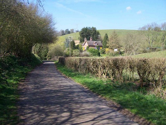
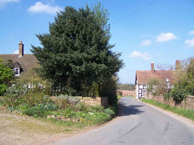
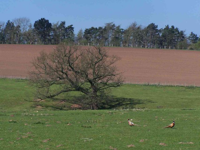
Bromley is a small village located in the county of Shropshire, England. Situated in the West Midlands region, it lies approximately 4 miles northeast of the town of Ludlow. The village is surrounded by picturesque countryside, characterized by rolling hills, green fields, and charming rural landscapes.
With a population of around 300 residents, Bromley is a close-knit community where locals enjoy a peaceful and tranquil way of life. The village is known for its traditional architecture, with many of its buildings dating back several centuries. These include quaint cottages, a historic church, and a local pub that serves as a popular gathering spot for both residents and visitors.
Despite its small size, Bromley offers a range of amenities and services to its residents. These include a primary school, a village hall, and a post office. The village also boasts several walking paths and nature trails, allowing visitors to explore the stunning surrounding countryside.
Bromley's proximity to Ludlow provides further amenities and opportunities. Ludlow offers a wider range of shops, supermarkets, restaurants, and leisure facilities. The town is famous for its medieval castle, vibrant market, and annual food festival, attracting tourists from far and wide.
In summary, Bromley, Shropshire is a charming village nestled in the heart of the West Midlands' countryside. With its beautiful surroundings, rich history, and strong sense of community, it offers a tranquil escape from the hustle and bustle of city life.
If you have any feedback on the listing, please let us know in the comments section below.
Bromley Images
Images are sourced within 2km of 52.554501/-2.393038 or Grid Reference SO7395. Thanks to Geograph Open Source API. All images are credited.


Bromley is located at Grid Ref: SO7395 (Lat: 52.554501, Lng: -2.393038)
Unitary Authority: Shropshire
Police Authority: West Mercia
What 3 Words
///boast.tadpoles.sooner. Near Bridgnorth, Shropshire
Nearby Locations
Related Wikis

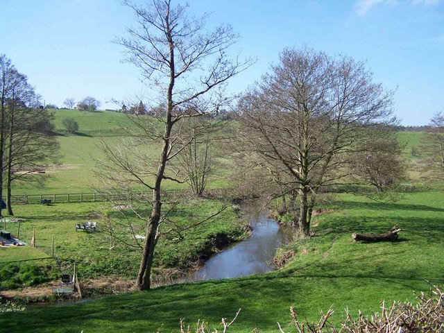
River Worfe
The River Worfe is a river in Shropshire, England. The name Worfe is said to derive from the Old English meaning to wander (or meander) which the river...

Burcote
Burcote is a village near Bridgnorth in Shropshire, England. == External links == Media related to Burcote at Wikimedia Commons

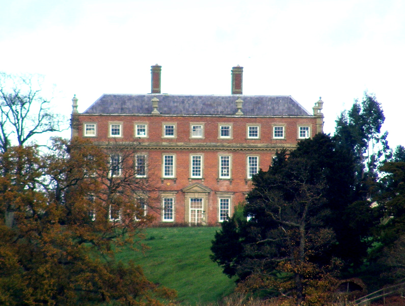
Stanley Hall, Shropshire
Stanley Hall, near to Astley Abbotts in Shropshire, England, is a Grade II listed building that first gained its protected status in 1970. It dates probably...
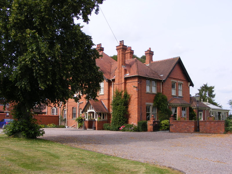
Davenport House, Worfield
Davenport House is an historic country house in the English village of Worfield, Shropshire. Located to the southwest of the village centre, it was built...

RAF Bridgnorth
Royal Air Force Bridgnorth or more simply RAF Bridgnorth is a former Royal Air Force station, created after the outbreak of the Second World War on 6 November...
Worfield
Worfield is a village and civil parish in Shropshire in the West Midlands, England. It is 120 miles (190 km) northwest of London and 10 miles (16 km) west...

Stanmore Country Park, Bridgnorth
Stanmore Country Park (officially Stanmore Camp Countryside Site) is a 100-acre (40 ha) country park in Stanmore, Shropshire, 1.2 miles (2 km) east of...
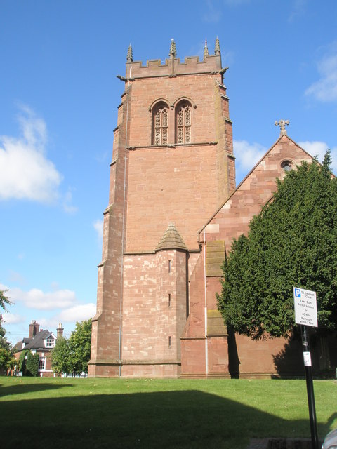
St Leonard's Church, Bridgnorth
St Leonard's Church is a redundant Anglican church in Bridgnorth, Shropshire, England. It is recorded in the National Heritage List for England as a designated...
Nearby Amenities
Located within 500m of 52.554501,-2.393038Have you been to Bromley?
Leave your review of Bromley below (or comments, questions and feedback).