Bromley
Settlement in Yorkshire
England
Bromley
Bromley is a small village located in the county of Yorkshire, England. Situated in the picturesque countryside, Bromley is known for its charming and tranquil atmosphere. The village is nestled on the banks of the River Wharfe, providing residents and visitors with stunning views and plenty of opportunities for outdoor activities.
With a population of approximately 1,500 people, Bromley maintains a close-knit community feel. The village boasts a range of amenities to cater to the needs of its residents, including a primary school, a post office, and a few local shops. Additionally, there are several traditional pubs and restaurants where locals and visitors can enjoy a relaxing meal or drink.
Bromley is surrounded by beautiful natural landscapes, making it a popular destination for nature enthusiasts. The nearby Yorkshire Dales National Park offers an abundance of walking and cycling trails, allowing visitors to explore the stunning countryside and take in the breathtaking views. The village is also within close proximity to Bolton Abbey, a historic estate known for its ruins, gardens, and scenic walking routes.
Despite its small size, Bromley is well-connected to larger towns and cities. The village is located just a short drive away from the town of Skipton, providing access to further amenities and services. The closest major city is Leeds, which can be reached within an hour by car or public transportation.
Overall, Bromley is a charming village that offers a peaceful and idyllic lifestyle, surrounded by natural beauty and a strong sense of community.
If you have any feedback on the listing, please let us know in the comments section below.
Bromley Images
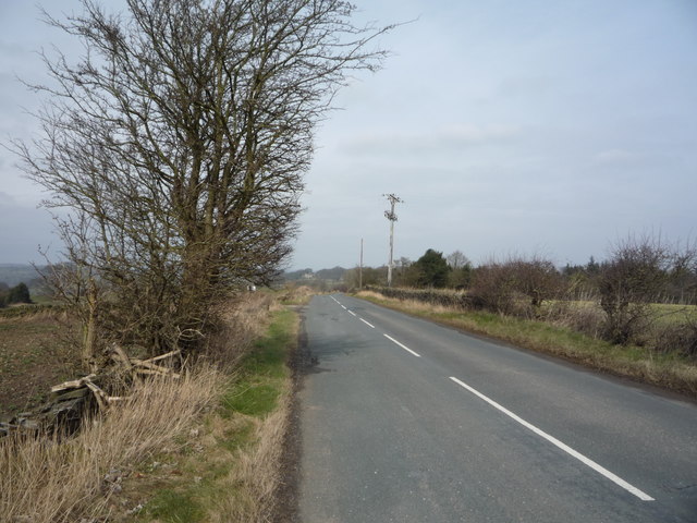
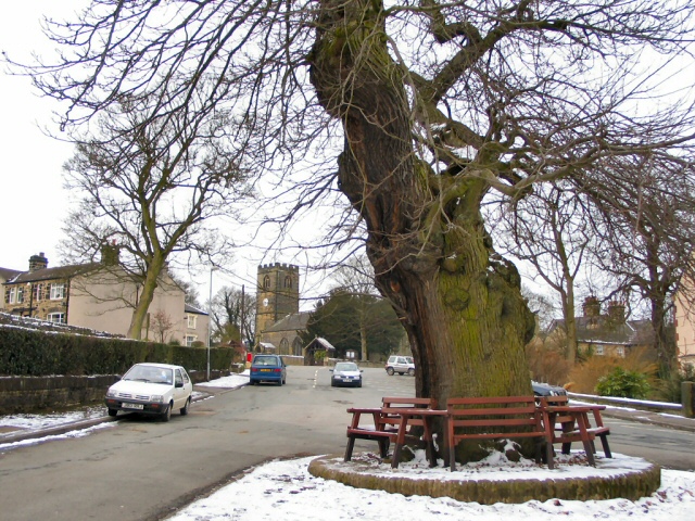
Images are sourced within 2km of 53.485146/-1.512204 or Grid Reference SK3298. Thanks to Geograph Open Source API. All images are credited.


Bromley is located at Grid Ref: SK3298 (Lat: 53.485146, Lng: -1.512204)
Division: West Riding
Unitary Authority: Barnsley
Police Authority: South Yorkshire
What 3 Words
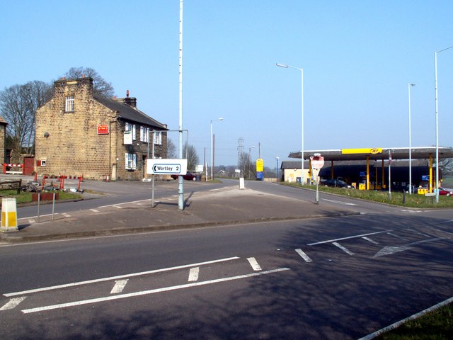
///prompting.geese.driver. Near Wortley, South Yorkshire
Related Wikis

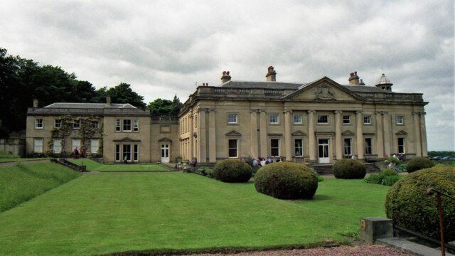
Wortley Hall
Wortley Hall is a former stately home in the small South Yorkshire village of Wortley, located south of Barnsley, England. For more than six decades the...
Wortley, South Yorkshire
Wortley is a village and civil parish in the Metropolitan Borough of Barnsley, South Yorkshire, England. At the 2001 census it had a population of 579...

Tankersley, South Yorkshire
Tankersley is a village and civil parish in the Metropolitan Borough of Barnsley in South Yorkshire, England. At the 2001 census it had a population of...

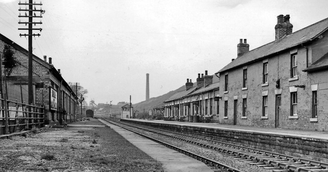
Westwood railway station
Westwood railway station was situated on the South Yorkshire Railway's Blackburn Valley line between Chapeltown Central and Birdwell & Hoyland Common....
High Green
High Green is the northernmost suburb of Sheffield, England, located about 8 miles from the city centre. It is found to the north of Chapeltown and is...
Birdwell & Hoyland Common railway station
Birdwell & Hoyland Common railway station was a railway station on the South Yorkshire Railway's Blackburn Valley line between Westwood and High Royds...

Birdwell, South Yorkshire
Birdwell is a village in the Metropolitan Borough of Barnsley in South Yorkshire, England and is located approximately 4.5 miles (7 km) south of Barnsley...

Pilley, South Yorkshire
Pilley is a village in the metropolitan borough of Barnsley in South Yorkshire, England. Pilley is situated to the south of Barnsley and to the west of...
Nearby Amenities
Located within 500m of 53.485146,-1.512204Have you been to Bromley?
Leave your review of Bromley below (or comments, questions and feedback).