Bromley
Settlement in Shropshire
England
Bromley
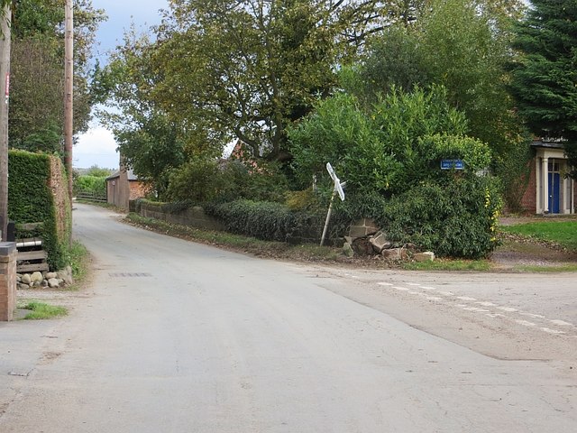
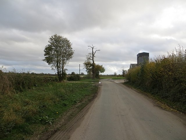
Bromley is a quaint village located in the county of Shropshire, England. Situated in the West Midlands region, it lies approximately 8 miles west of the county town of Shrewsbury. The village is surrounded by picturesque countryside, with rolling hills and lush green fields, making it an ideal location for nature lovers and outdoor enthusiasts.
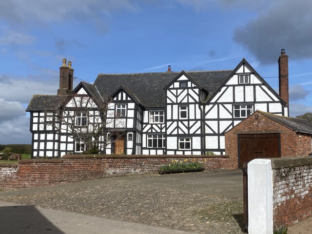
Despite its small size, Bromley has a rich history that can be traced back to the medieval era. The village is known for its charming architecture, with several timber-framed buildings and historic landmarks. St. Mary's Church, a Grade II listed building, is a prominent feature in the village, dating back to the 12th century.
Bromley offers a close-knit community feel, with a population of around 500 residents. The village has a strong sense of community spirit, with various local events and activities organized throughout the year. The nearby Bromley Farm provides fresh produce and is a popular spot for residents to purchase locally sourced goods.
Although it may be small in size, Bromley has a range of amenities to cater to its residents. The village boasts a primary school, a village hall, and a local pub, where locals and visitors can enjoy a traditional British pub experience. The surrounding countryside offers plenty of opportunities for outdoor activities, including walking, cycling, and horse riding.
Overall, Bromley is a charming and idyllic village in the heart of Shropshire, offering a peaceful and rural lifestyle to its residents.
If you have any feedback on the listing, please let us know in the comments section below.
Bromley Images
Images are sourced within 2km of 52.831789/-2.886108 or Grid Reference SJ4026. Thanks to Geograph Open Source API. All images are credited.


Bromley is located at Grid Ref: SJ4026 (Lat: 52.831789, Lng: -2.886108)
Unitary Authority: Shropshire
Police Authority: West Mercia
What 3 Words
///health.repair.prompt. Near Petton, Shropshire
Nearby Locations
Related Wikis

Bagley, Shropshire
Bagley is a small and rural village in the parish of Hordley, Shropshire, England. The nearest towns are Ellesmere, Wem and Oswestry, though the village...

Bagley Marsh
Bagley Marsh is a village in Shropshire, England. == External links == Media related to Bagley Marsh at Wikimedia Commons

Wykey
Wykey is a hamlet in Shropshire, England. It is approximately 2 miles north of the larger village of Ruyton-XI-Towns, and is recognised as one of the eleven...

Stanwardine Halt railway station
Stanwardine Halt was a minor station located north of Shrewsbury on the GWR's Paddington to Birkenhead main line. It was opened in the 1930s as part of...
Haughton Halt railway station
Haughton Halt was a minor station located north of Shrewsbury on the GWR's Paddington to Birkenhead main line. It was opened in the nineteen thirties as...

Weston Lullingfields
Weston Lullingfields is a village in Shropshire, England. It is located about 15 km north west of Shrewsbury. The population as taken at the 2011 census...
RAF Rednal
Royal Air Force Rednal, or more simply RAF Rednal, is a former Royal Air Force station located near Oswestry in Shropshire, England. == History == ��3...

Petton, Shropshire
Petton is a small village and civil parish in Shropshire, England. It was mentioned in Domesday as "Peetone", a name probably derived from Old English...
Nearby Amenities
Located within 500m of 52.831789,-2.886108Have you been to Bromley?
Leave your review of Bromley below (or comments, questions and feedback).