Bromham

Settlement in Bedfordshire

England

Bromham

John Bunyan trail Leaving Bromham, over the hill towards Stevington
John Bunyan trail Credit: Ashley Dace

Bromham is a village located in the county of Bedfordshire, England. It lies approximately three miles northwest of Bedford, the county town, and is situated on the River Great Ouse. As of the 2011 census, the village had a population of around 4,500 people.

The village has a rich history dating back to Roman times, with evidence of Roman settlements found in the area. It was also mentioned in the Domesday Book of 1086, indicating its long-standing presence. Today, Bromham retains its traditional charm with a mix of historic buildings and modern developments.

One of the notable landmarks in Bromham is the St. Owen's Church, a medieval parish church that dates back to the 12th century. It features a Norman tower and stunning stained glass windows. The village also has several other historic buildings, including thatched cottages and old manor houses.

Bromham benefits from its picturesque location along the River Great Ouse, offering residents and visitors opportunities for leisurely walks and outdoor activities. The village has a range of amenities, including a primary school, shops, pubs, and a village hall that hosts various community events.

Transport links in Bromham are convenient, with easy access to nearby towns and cities via the A428 road and the A6. Bedford train station, located just a few miles away, provides regular services to London and other major cities.

Overall, Bromham offers a charming and well-connected village lifestyle, combining historical significance with modern amenities.

If you have any feedback on the listing, please let us know in the comments section below.
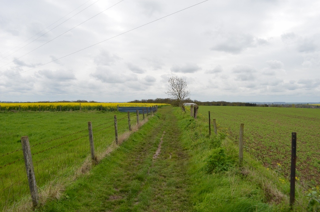
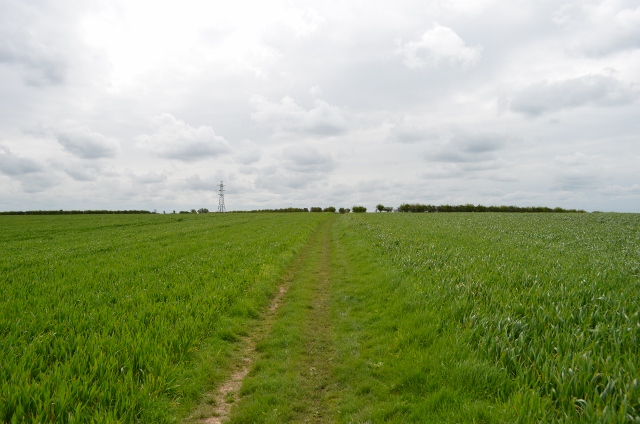
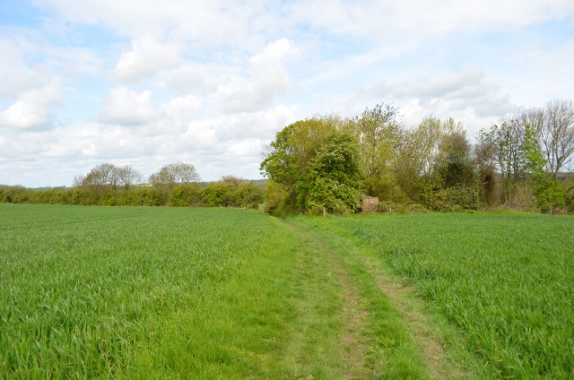
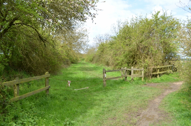
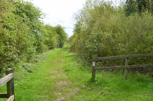
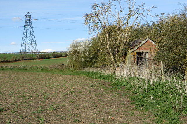
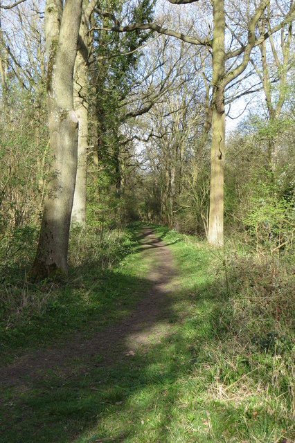
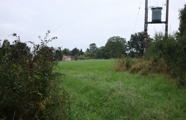
Bromham Images

Images are sourced within 2km of 52.149269/-0.527242 or Grid Reference TL0051. Thanks to Geograph Open Source API. All images are credited.

John Bunyan trail Leaving Bromham, over the hill towards Stevington
John Bunyan trail
Leaving Bromham, over the hill towards Stevington
John Bunyan trail Leaving Bromham, over the hill towards Stevington
John Bunyan trail
Leaving Bromham, over the hill towards Stevington
John Bunyan trail Looking towards Bromham, behind me is the small village of Stevington.
John Bunyan trail
Looking towards Bromham, behind me is the small village of Stevington.
Former Railway Line The ex Bedford to Northampton line crosses here, this is a footpath. The bricks are the former pig sty for Skylark cottage which is a burnt out shell.
Former Railway Line
The ex Bedford to Northampton line crosses here, this is a footpath. The bricks are the former pig sty for Skylark cottage which is a burnt out shell.
Former Railway Line Bedford to Northampton line closed in the mid 1960s under Beeching cuts.
Former Railway Line
Bedford to Northampton line closed in the mid 1960s under Beeching cuts.
Former Railway Line Bedford to Northampton line closed in the mid 1960s under Beeching cuts.
Former Railway Line
Bedford to Northampton line closed in the mid 1960s under Beeching cuts.
John Bunyan Trail
John Bunyan Trail
John Bunyan Trail
John Bunyan Trail
Electricity Pylon in farmland
Playing field at Bromham
Path through Salem Thrift
Bromham Roundabout
Bromham Roundabout
Path into Bromham
Path into Bromham
Footpath towards White's Wood
Spring field by Salem Thrift
Field by Box End Road
Electricity transformer by Box End Road It's probably up there to keep the children and vandals away, although there's probably a technical reason.
Electricity transformer by Box End Road
It's probably up there to keep the children and vandals away, although there's probably a technical reason.
Parking area off Box End Road
Show me another place!

Bromham is located at Grid Ref: TL0051 (Lat: 52.149269, Lng: -0.527242)

Unitary Authority: Bedford

Police Authority: Bedfordshire

What 3 Words

///breakfast.pins.tricky. Near Bromham, Bedfordshire

Related Wikis

Bromham, Bedfordshire

Bromham is a village and civil parish in the Borough of Bedford in Bedfordshire, England, situated around 3 miles (4.8 km) west of Bedford town centre...

Church of St Owen, Bromham, Bedfordshire

Church of St Owen is a Grade I listed church in Bromham, Bedfordshire, England. It became a listed building on 13 July 1964.The church is a 17th-century...

Church of St James, Biddenham

Church of St James is a Grade I listed church in Biddenham, Bedfordshire, England. It became a listed building on 13 July 1964. The Church has a website...

Biddenham Dovecote

The Biddenham dovecote was a structure located in Biddenham, a village in Bedfordshire, England. Built on the order of Elizabeth Boteler in 1706, in a...

Biddenham Pit

Biddenham Pit is a gravel pit and Site of Special Scientific Interest (SSSI), 0.41 hectares in size located in Biddenham, Bedfordshire. The pit was notified...

Bromham Lake

Bromham Lake is a 10.9 hectare Local Nature Reserve east of Bromham in Bedfordshire. It is owned and managed by Bedford Borough Council.The lake was formed...

Biddenham

Biddenham is a village and civil parish in the Borough of Bedford in Bedfordshire, England, located around 2 miles (3.2 km) west of Bedford town centre...

Great Denham

Great Denham is a village and civil parish located in Bedfordshire, England, on the western outskirts of Bedford. The village is the location of Bedford...

Nearby Amenities

Located within 500m of 52.149269,-0.527242
Crossing
Crossing Ref: zebra
Lat/Long: 52.1499496/-0.5271164
Library
Bromham Library
Wikidata: Q55163421
Lat/Long: 52.1501772/-0.5340349
Doctors
Bromham Surgery
Addr City: Bedford
Addr Country: GB
Addr Postcode: MK43 8JT
Addr Street: Molivers Lane
Addr Suburb: Heelands
Addr Village: Bromham
Lat/Long: 52.1524992/-0.5270083
One Stop
Addr City: Bedford
Addr Country: GB
Addr Housename: Avoca House
Addr Housenumber: 4
Addr Postcode: MK43 8JT
Addr Street: Molivers Lane
Addr Village: Bromham
Brand: One Stop
Brand Wikidata: Q65954217
Contact Website: https://www.onestop.co.uk/store?store=cb0d33e1-3ed7-4b64-80c6-d08b0ee4c77d
Fhrs Authority: Bedford
Fhrs Id: 1314565
Fhrs Local Authority Id: 131476
Operator: One Stop Stores Limited
Shop: convenience
Lat/Long: 52.1523203/-0.5274632
Fast Food
Bromham Fish Shop
Addr City: Bromham
Addr Country: GB
Addr Postcode: MK43 8JT
Addr Street: Molivers Lane
Cuisine: fish_and_chips
Fhrs Authority: Bedford
Fhrs Id: 102813
Fhrs Local Authority Id: 34262
Takeaway: yes
Lat/Long: 52.1522897/-0.5271165
Post Box
Brand: Royal Mail
Brand Wikidata: Q638098
Operator: Royal Mail
Operator Wikidata: Q638098
Ref: MK43 288
Lat/Long: 52.1493515/-0.5315184
Post Box
Brand: Royal Mail
Brand Wikidata: Q638098
Collection Times: Mo-Fr 05:15; Sa 10:45
Operator: Royal Mail
Operator Wikidata: Q638098
Ref: MK43 121
Lat/Long: 52.1522843/-0.5271388
Bus Stop
Bus: yes
Public Transport: platform
Lat/Long: 52.1448746/-0.5273987
Bus Stop
BROMHAM The Swan, opposite
Bench: no
Bus: yes
Public Transport: platform
Shelter: yes
Tactile Paving: no
Lat/Long: 52.1449503/-0.5273289
Parking
Lat/Long: 52.150454/-0.5274421
Pharmacy
Bromham Pharmacy
Addr City: Bromham
Addr Country: GB
Addr Housename: Avoca House
Addr Postcode: MK43 8JT
Addr Street: Molivers Lane
Healthcare: pharmacy
Lat/Long: 52.1522992/-0.5272257
Addr City: Bromham
Addr Country: GB
Addr Housenumber: 4
Addr Postcode: MK43 8JT
Addr Street: Molivers Lane
Lat/Long: 52.1524012/-0.5269012
Bromham Fun Club
Addr City: Bromham
Addr Country: GB
Addr Housename: Bromham Lower School
Addr Postcode: MK43 8JP
Addr Street: Village Road
Club: student
Fhrs Authority: Bedford
Fhrs Id: 330804
Fhrs Local Authority Id: 113056
Lat/Long: 52.1502157/-0.5281806
Addr Country: GB
Addr Housenumber: 82
Addr Street: Springfield Drive
Lat/Long: 52.1492405/-0.5336416
Addr Country: GB
Addr Housenumber: 75
Addr Street: Springfield Drive
Lat/Long: 52.1494249/-0.5341525
Addr Country: GB
Addr Housenumber: 2
Addr Street: Grange Lane
Lat/Long: 52.1492231/-0.5280296
Addr Country: GB
Addr Housenumber: 4
Addr Street: Grange Lane
Lat/Long: 52.1493912/-0.5280258
Speed Camera
Direction: 0
Maxspeed: 30 mph
Lat/Long: 52.1465477/-0.5289052
The data included in this document is from www.openstreetmap.org. The data is made available under ODbL.

Have you been to Bromham?

Leave your review of Bromham below (or comments, questions and feedback).