Grindleton
Civil Parish in Yorkshire Ribble Valley
England
Grindleton
Grindleton is a civil parish located in the county of Yorkshire, England. Situated in the beautiful Ribble Valley, it is nestled between the market towns of Clitheroe and Chatburn. The parish covers an area of approximately 6 square miles and is home to a population of around 500 residents.
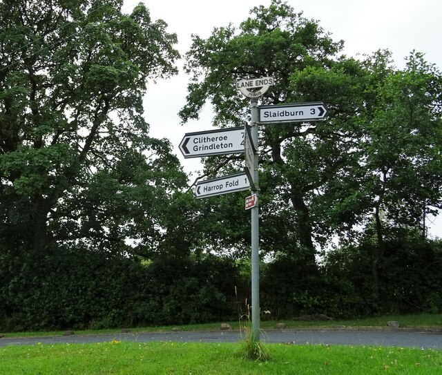
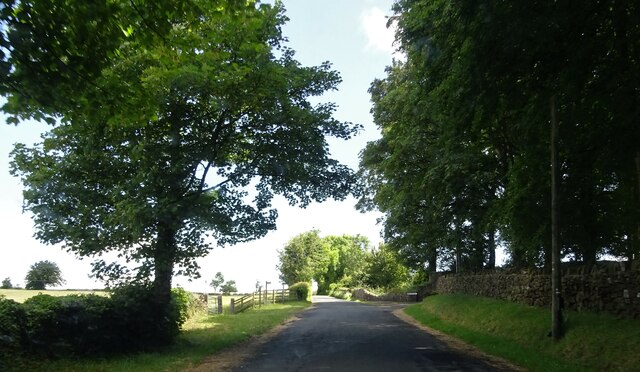
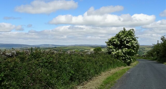
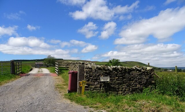
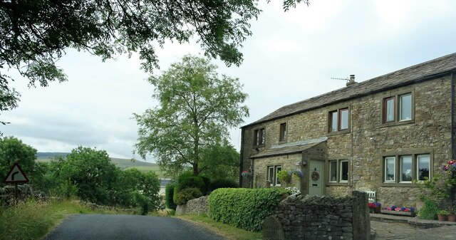
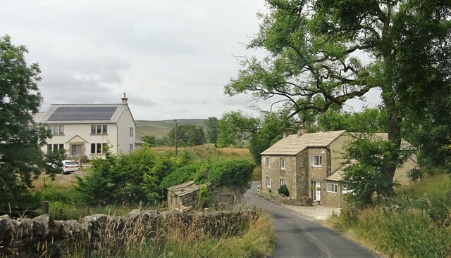
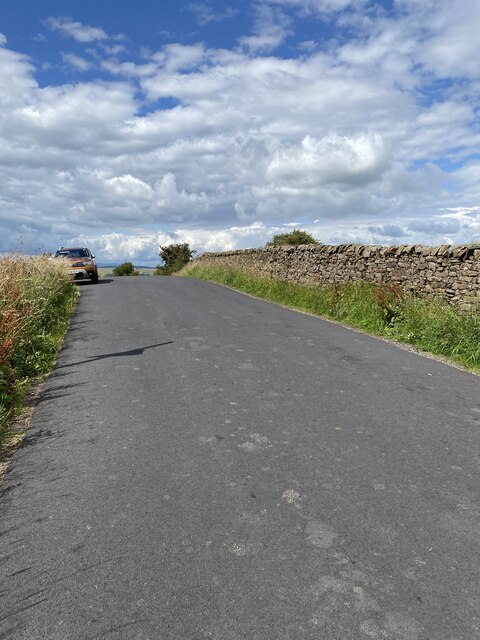
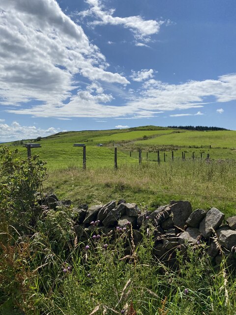
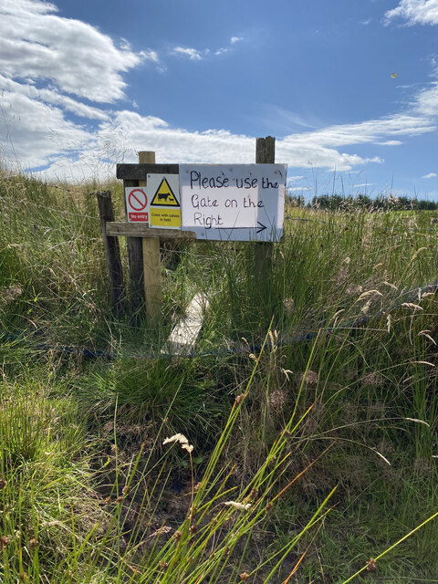
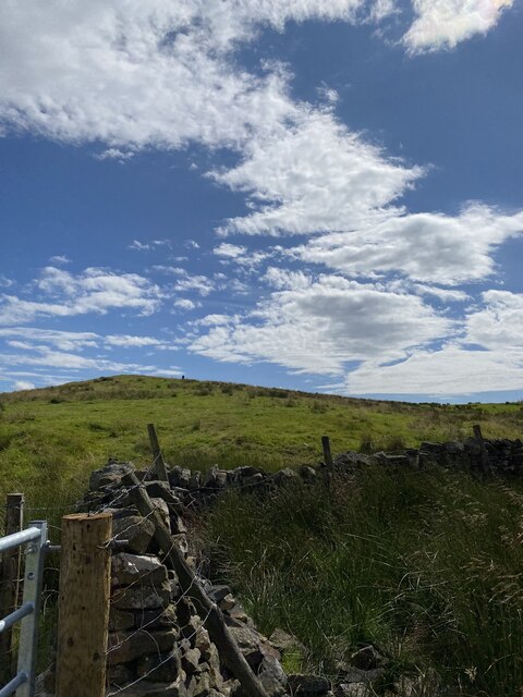
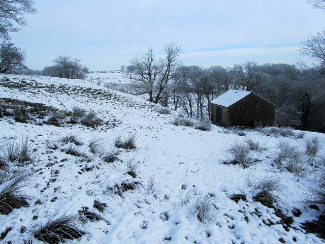
The village of Grindleton is known for its picturesque setting, with rolling hills, lush green fields, and the River Ribble flowing nearby. The landscape provides a perfect backdrop for outdoor activities such as hiking, cycling, and fishing, attracting visitors from far and wide.
Historically, Grindleton was a farming community, and remnants of its agricultural past can still be seen in the form of traditional stone-built farmhouses and barns. Today, the village retains its rural charm, with a small but thriving community.
A notable landmark in Grindleton is the St. Ambrose Church, a Grade I listed building dating back to the 16th century. This historic church is renowned for its unique architectural features and beautiful stained glass windows.
The village also boasts a primary school, a village hall, and a local pub, providing essential amenities for its residents. The community is closely knit, with regular social events and activities organized throughout the year.
Overall, Grindleton is a picturesque and idyllic village in the heart of the Yorkshire countryside, offering a tranquil and peaceful environment for both residents and visitors alike.
If you have any feedback on the listing, please let us know in the comments section below.
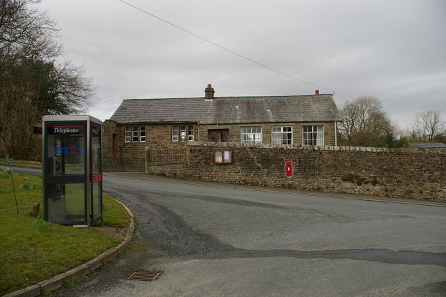
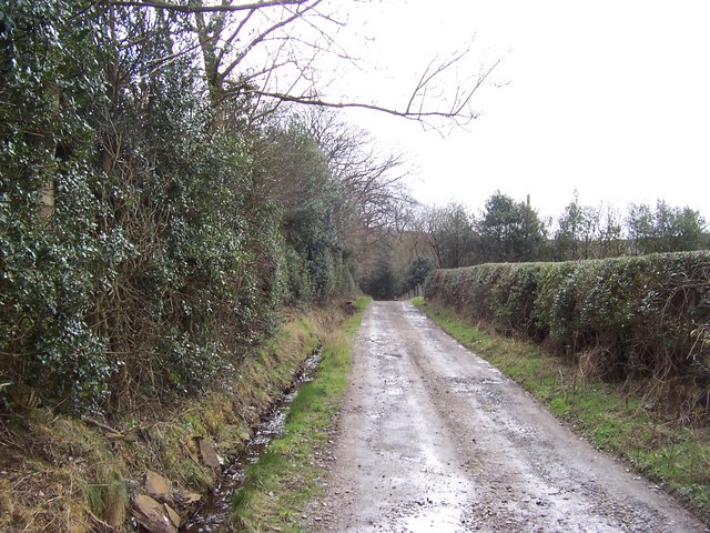
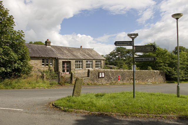
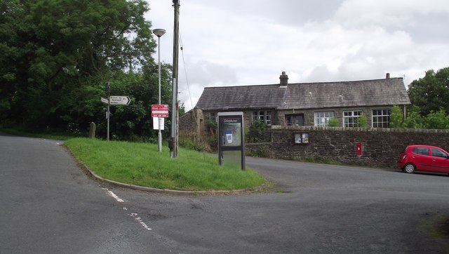
Grindleton Images
Images are sourced within 2km of 53.934182/-2.379658 or Grid Reference SD7548. Thanks to Geograph Open Source API. All images are credited.

Grindleton is located at Grid Ref: SD7548 (Lat: 53.934182, Lng: -2.379658)
Division: West Riding
Administrative County: Lancashire
District: Ribble Valley
Police Authority: Lancashire
What 3 Words
///scripted.earplugs.presuming. Near Chatburn, Lancashire
Nearby Locations
Related Wikis

Easington Fell
Easington Fell is a Marilyn in the Forest of Bowland in Lancashire, England. It has been surveyed to be 70 cm higher than a nearby fell of almost identical...

Bowland High
Bowland High is a coeducational secondary school with academy status, located in Grindleton in Lancashire, England. It educates pupils from ages 11–16...

Skirden Beck
Skirden Beck is a minor river in Lancashire, England (historically in the West Riding of Yorkshire). It is approximately 4.3 miles (6.85 km) long and has...

Grindleton
Grindleton is a village and civil parish in the Ribble Valley district of the English county of Lancashire, formerly in the West Riding of Yorkshire. Its...

Grindletonians
The Grindletonians were a Puritan sect that arose in the town of Grindleton in Lancashire, England, in around 1610. The sect remained active in the North...
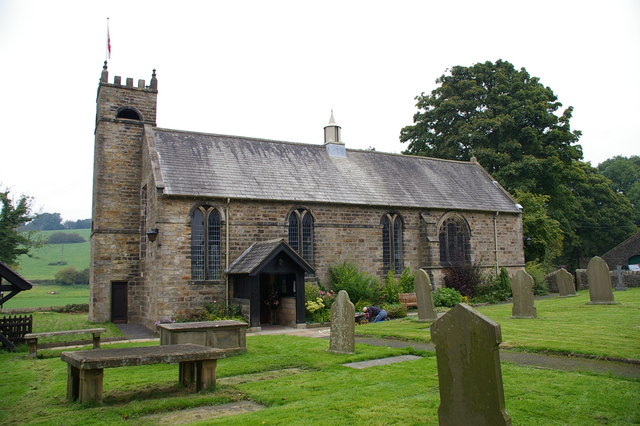
St Ambrose's Church, Grindleton
St Ambrose's Church is in the village of Grindleton, which is situated about 3 miles (5 km) northeast of Clitheroe, Lancashire, England. It is an active...

Sawley, Lancashire
Sawley is a village and civil parish in the Borough of Ribble Valley in Lancashire, England. The population of the civil parish was 305 at the 2001 Census...
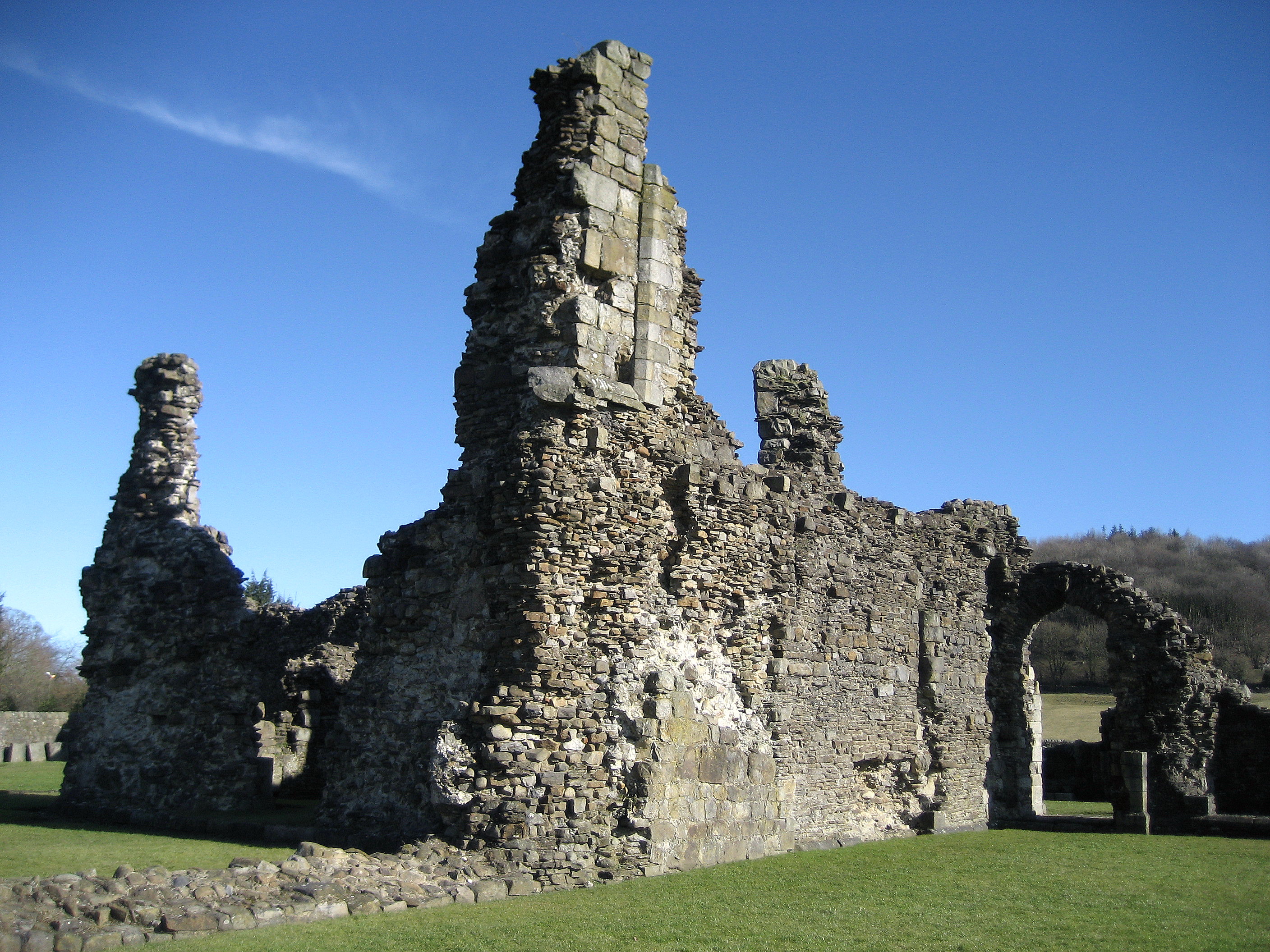
Sawley Abbey
Sawley Abbey was an abbey of Cistercian monks in the village of Sawley, Lancashire, in England (and historically in the West Riding of Yorkshire). Created...
Related Videos

#glamping #travel #relaxing #nature
travelandcooking07.

Join us at Bow Laithe Caravan Site Lancashire #explore #love #motorhome #freedom
We booked this lovely adult only site via pitchup.com A beautiful site 10 mins drive to Clitheroe Large pitches with EHU, there is ...

How to Gift Wrap a Plant
We are delighted to wrap any container plants at Holden Clough and here is Alli showing you how. This beautiful Skimmia ...
Nearby Amenities
Located within 500m of 53.934182,-2.379658Have you been to Grindleton?
Leave your review of Grindleton below (or comments, questions and feedback).