Grindlow
Civil Parish in Derbyshire Derbyshire Dales
England
Grindlow

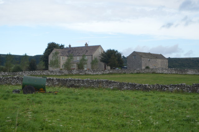
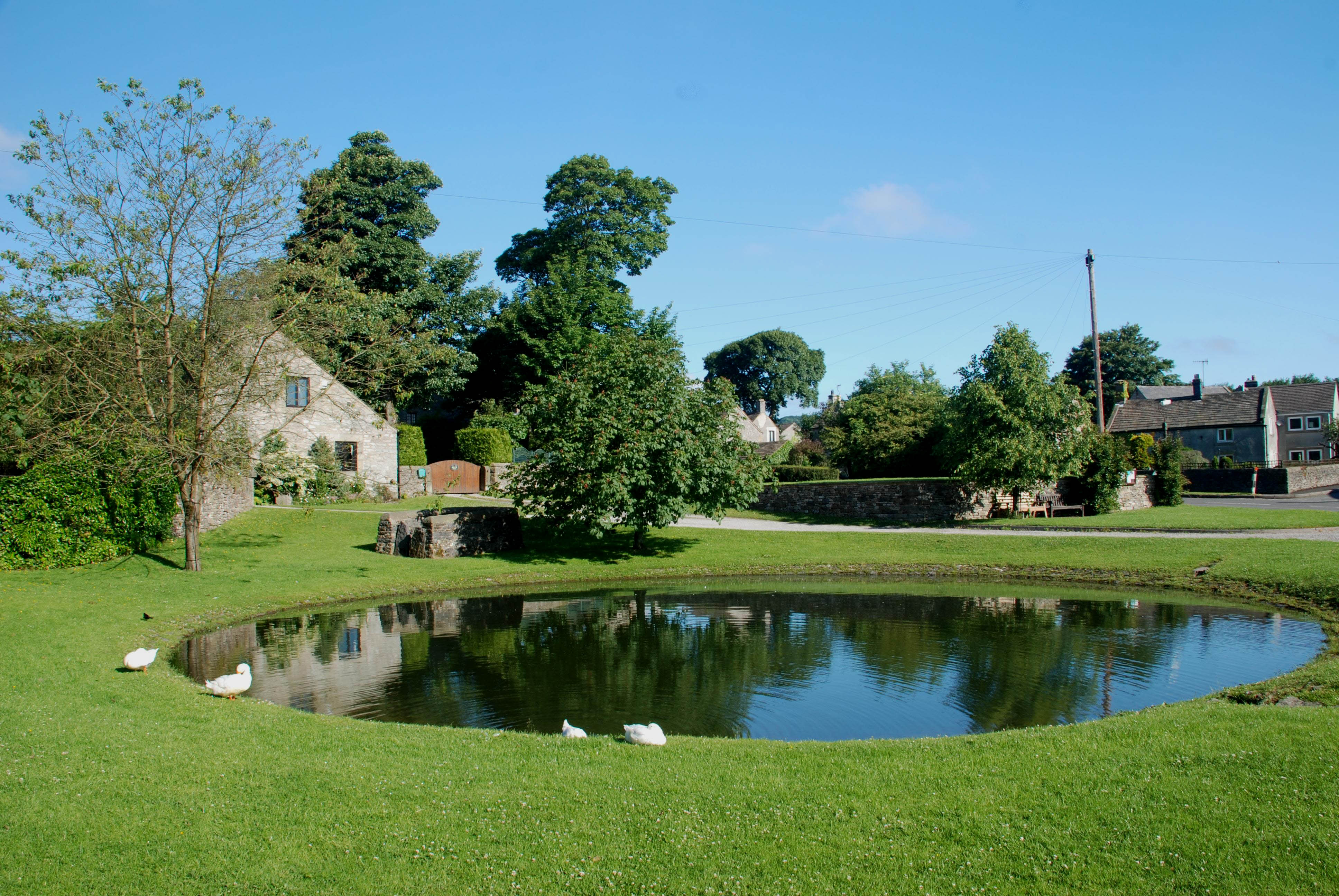
Grindlow is a small civil parish located in the county of Derbyshire, England. Situated in the Peak District National Park, it is surrounded by picturesque landscapes and offers a tranquil and rural setting for its residents. The parish is part of the High Peak district and covers an area of approximately 4 square kilometers.
With a population of around 100 people, Grindlow is known for its close-knit community and friendly atmosphere. The village consists mainly of traditional stone-built houses and cottages, which add to its charm and character. The parish also includes a number of farms and agricultural lands, highlighting its rural nature.
The village is served by a primary school, providing education for the local children, and there is a small church that serves as a place of worship for the community. Grindlow also benefits from being in proximity to larger towns and amenities, with the market town of Bakewell being just a short drive away.
Grindlow is a popular destination for hikers and outdoor enthusiasts due to its location within the Peak District National Park. It offers a range of walking trails and scenic views, attracting visitors from near and far. The village is also known for its annual village fete, which brings together residents and visitors for a day of celebration and community spirit.
Overall, Grindlow is a peaceful and idyllic village that offers a quintessential English countryside experience. Its natural beauty, friendly community, and access to outdoor activities make it an attractive place to live or visit for those seeking a rural escape.
If you have any feedback on the listing, please let us know in the comments section below.
Grindlow Images
Images are sourced within 2km of 53.292914/-1.723967 or Grid Reference SK1877. Thanks to Geograph Open Source API. All images are credited.


Grindlow is located at Grid Ref: SK1877 (Lat: 53.292914, Lng: -1.723967)
Administrative County: Derbyshire
District: Derbyshire Dales
Police Authority: Derbyshire
What 3 Words
///typically.vital.onion. Near Tideswell, Derbyshire
Related Wikis

Grindlow
Grindlow is a farming hamlet of a dozen or so houses that nestles under Hucklow Edge in the Derbyshire Peak District. Although it is a separate civil parish...

Great Hucklow
Great Hucklow (Old English Hucca's burial mound) is a village and civil parish in the Derbyshire Peak District which is under Hucklow Edge between the...
Foolow
Foolow (Old English possibly for "bird hill" or "colourful hill") is a village in the Derbyshire Peak District. == Village centre == The village green...

St Hugh's Church, Foolow
St Hugh's Church, Foolow is a Grade II listed parish church in the Church of England in Foolow, Derbyshire. == History == The church was opened on 17 November...
Nearby Amenities
Located within 500m of 53.292914,-1.723967Have you been to Grindlow?
Leave your review of Grindlow below (or comments, questions and feedback).